ACKNOWLEDGMENTS
For twenty years this trail guide has been a cooperative effort between the National Park Service staff at Canyonlands and Arches National Parks and the staff of the Canyonlands Natural History Association. It would be most appropriate to say that it would not have happened without them.
A lot of people have helped me with this book and its revisions, too many to list here, but I would especially like to thank these NPS employees who helped coordinate, research, and review the original guidebook, which was released in 1997Larry Frederick, Bruce McCabe, Aneth Wight, Mary Beth Maynard, Karen Schlom, Gary Cox, Diane Allen, and Fred Patton. Jim Blazak helped make sure we had all updates in the first revision. On the third edition, thanks to Stephen Allen, Cynthia Beyer, Sierra Coon, Dick Toll, and Laura Lusk for helping update the book. And for this, the fourth edition, additional thanks to Nathaniel Clark, Keri Nelson, Will Leggett, and Karen Garthwait.
Also, special thanks to Canyonlands Natural History Association, a wonderful partner. Jean Treadway, Brad Wallis, Gloria Brown, Cindy Hardgrave, and Sam Wainer all helped make this a real partnership in publishing.
For the first edition the staff at Falcon, as always, deserves a big thank-you for putting up with my distractions while researching and writing the book, with special thanks to Randall Green, our guidebook editor; Marita Martiniak, the graphic artist who laid out the book; Noelle Sullivan, the copy editor; and Tony Moore, who did the original maps. For finishing the first revision, thanks to FalconGuides staffers Gillian Belnap, Scott Adams, and Erin Joyce. For this revision, thanks to John Burbidge and the rest of the crew at FalconGuides and Globe Pequot.
AUTHORS FAVORITES
REALLY EASY DAY HIKES
Arches: Sand Dune Arch, Park Avenue, Landscape Arch
Island in the Sky: Mesa Arch, Aztec Butte, Whale Rock, White Rim Overlook, Grand View, Upheaval Dome Overlook
Needles: Pothole Point, Cave Spring, The Joint Trail
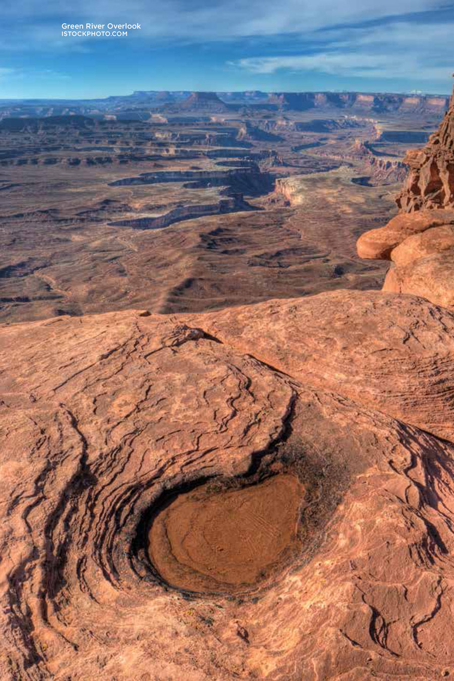
Maze: The Granary, Colorado / Green River Overlook (to Beehive Arch)
EASY DAY HIKES, BUT NOT TOO EASY
Arches: Broken Arch, Tower Arch
Island in the Sky: Murphy Point, Moses, Fort Bottom
Needles: Slickrock Foot Trail
Maze: Spanish Bottom
MODERATELY DIFFICULT HIKES, BUT NOT TOO DIFFICULT
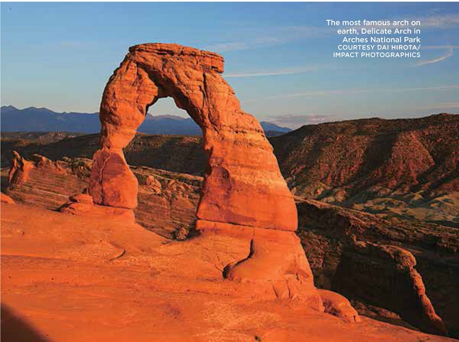
Arches: Delicate Arch, Devils Garden (to Double O Arch), Fiery Furnace
Island in the Sky: Neck Spring, Lathrop (to canyon rim)
Needles: Squaw Canyon / Big Spring Canyon, Chesler Park Loop, Devils Pocket Loop
Maze: The Great Gallery, Maze Overlook, Colorado / Green River Overlook
LONG, HARD DAY HIKES SO HIKERS CAN EAT ANYTHING THEY WANT FOR DINNER AND NOT FEEL GUILTY
Arches: Devils Garden Primitive Loop
Island in the Sky: Syncline Loop, Murphy Loop, Alcove Spring
Needles: Lost Canyon, Lost Canyon / Elephant Canyon, Druid Arch, Confluence Overlook, Upper Salt Creek
Maze: Harvest Scene
FIRST NIGHT IN THE WILDERNESS
Island in the Sky: Murphy Loop, Upheaval Canyon
Needles: Upper Salt Creek (out-and-back option), Squaw Canyon / Big Spring Canyon, Elephant Hill to Squaw Flat, Chesler Park Loop
Maze: Happy Canyon, Colorado / Green River Overlook
FOR PHOTOGRAPHERS
Arches: Devils Garden, Park Avenue, Fiery Furnace, Delicate Arch
Island in the Sky: Murphy Point, Moses, White Rim Overlook, Grand View
Needles: The Joint Trail, Peekaboo, Lost Canyon, Confluence Overlook, Devils Pocket Loop
Maze: Maze Overlook, Harvest Scene, Colorado / Green River Overlook
MULTIDAY BACKCOUNTRY ADVENTURES
Island in the Sky: Alcove Spring / Syncline Loop
Needles: The Big Needles Loop, Chesler Park / Devils Kitchen, Upper Salt Creek
Maze: Harvest Scene
FOR TRAIL RUNNERS AND POWER HIKERS
Island in the Sky: Neck Spring, Lathrop (to canyon rim), Upheaval Canyon
Needles: Squaw Canyon / Big Spring Canyon, Lost Canyon / Elephant Canyon
BACKCOUNTRY ROADS
In many cases, hikers have to navigate backcountry roads to reach trailheads in both ARCHES AND CANYONLANDS NATIONAL PARKS, so here is a brief summary of the road conditions, including vehicle requirements.
Arches National Park
WILLOW FLATS
Start: Willow Flats turnoff on the main park road
Distance: 4 miles from paved road to park boundary
Maps: Trails Illustrated Arches National Park and USGS Arches National Park
Permits: No permit required
Minimum vehicle requirements: Low-clearance, four-wheel-drive
Difficulty: Easy
Road conditions: Smooth driving on unpaved surfaces, packed dirt most of the way with a few short rocky sections and possible washouts after rains
Suitability for mountain biking: Moderate; the road can get seriously washboarded
Vehicle campsites: None
SALT VALLEY
Start: Salt Valley turnoff on the main park road
Distance: 9.6 miles from the paved road to park boundary
Maps: Trails Illustrated Arches National Park and USGS Arches National Park
Permits: No permit required
Minimum vehicle requirements: Low-clearance, two-wheel-drive
Difficulty: Easy unless road surface is wet, which makes the road impassable
Road conditions: Smooth driving on unpaved, packed-dirt surface
Suitability for mountain biking: Excellent, although the road can get seriously washboarded
Vehicle campsites: None
Special precautions: Avoid this road after it rains. Sections of clay become seriously slippery when wet.
FOUR-WHEEL-DRIVE ROAD
Start: Salt Valley turnoff on the main park road
Distance: 16.6 miles for entire loop, not including a 3-mile round-trip to Tower Arch
Maps: Trails Illustrated Arches National Park and USGS Arches National Park
Permits: No permit required
Minimum vehicle requirements: High-clearance, four-wheel-drive with low-range gearing
Difficulty: Easy to moderate with one difficult stretch between Salt Valley Road and the Tower Arch turnoff
Road conditions: The road conditions on Salt Valley and Willow Flats Roads are easy, but the connecting road has some difficult stretches. Shortly after turning off the Salt Valley Road, the road goes over a ridge with several tight turns, small ledges, and long rocky sections. Drive this section slowly and carefully.
Suitability for mountain biking: Excellent on Salt Valley Road, but only fair on the four-wheel-drive road and difficult during one long section of loose sand at the 12-mile mark
Vehicle campsites: None.
Special attractions: Tower Arch and the view of the Marching Men from the junction of the four-wheel-drive road and the spur road to Tower Arch


