How To Use This E-Book
This Explore Guide has been produced by the editors of Insight Guides, whose books have set the standard for visual travel guides since 1970. With top-quality photography and authoritative recommendations, these guidebooks bring you the very best routes and itineraries in the worlds most exciting destinations.
Best Routes
The routes in this book provide something to suit all budgets, tastes and trip lengths. As well as covering the destinations many classic attractions, the itineraries track lesser-known sights, and there are also excursions for those who want to extend their visit outside the city. The routes embrace a range of interests, so whether you are an art fan, a gourmet, a history buff or have kids to entertain, you will find an option to suit.
We recommend reading the whole of a route before setting out. This should help you to familiarise yourself with it and enable you to plan where to stop for refreshments options are shown in the Food and Drink box at the end of each tour.
Introduction
The routes are set in context by this introductory section, giving an overview of the destination to set the scene, plus background information on food and drink, shopping and more, while a succinct history timeline highlights the key events over the centuries.
Directory
Also supporting the routes is a Directory chapter, with a clearly organised AZ of practical information, our pick of where to stay while you are there and select restaurant listings; these eateries complement the more low-key cafs and restaurants that feature within the routes and are intended to offer a wider choice for evening dining. Also included here are some nightlife listings, plus a handy language guide and our recommendations for books and films about the destination.
Getting around the e-book
In the Table of Contents and throughout this e-book you will see hyperlinked references. Just tap a hyperlink once to skip to the section you would like to read. Practical information and listings are also hyperlinked, so as long as you have an external connection to the internet, you can tap a link to go directly to the website for more information.
Maps
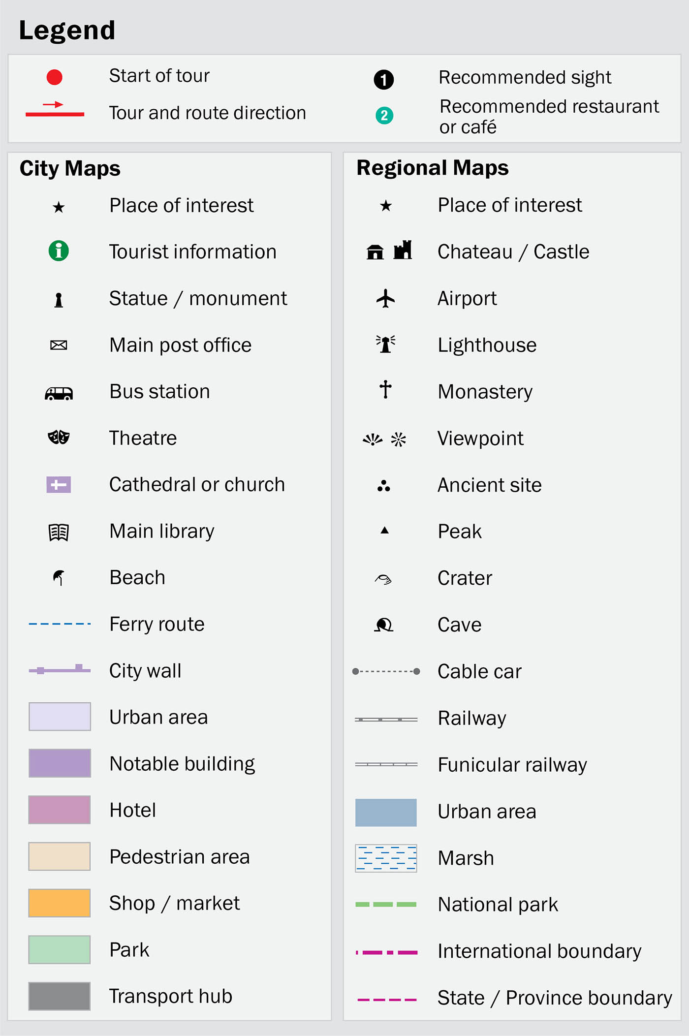
All key attractions and sights mentioned in the text are numbered and cross-referenced to high-quality maps. Wherever you see the reference [map] just tap this to go straight to the related map. You can also double-tap any map for a zoom view.
Images
Youll find lots of beautiful high-resolution images that capture the essence of the destination. Simply double-tap on an image to see it full-screen.
2016 Apa Digital (CH) AG and Apa Publications (UK) Ltd
Table of Contents
Recommended Routes For...
Architecture
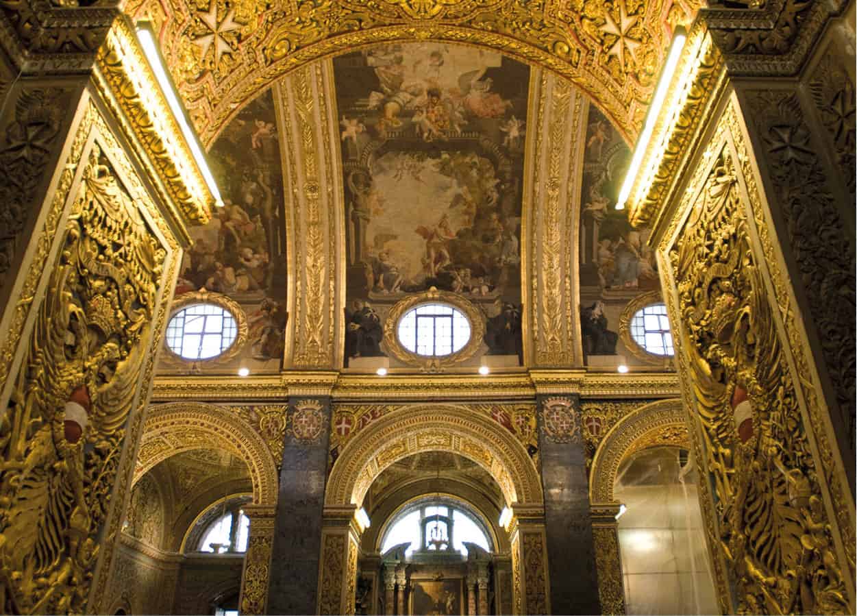
The Knights of St John are famed for making the most architectural impact on Malta. See this for yourself in Valletta ().
Sylvaine Poitau/Apa Publications
Beaches
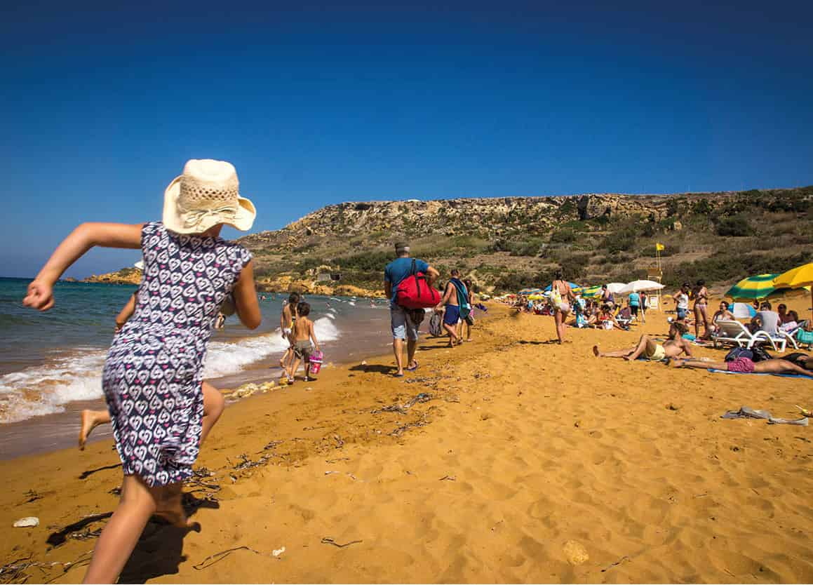
The islands have an array of rocky and sandy beaches. The best are in the north of Malta (), home to the stunning Ramla Bay.
Viewing Malta
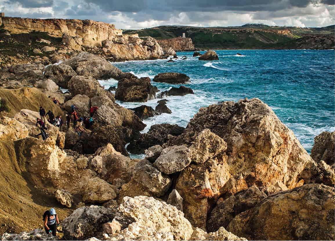
Coastal Views
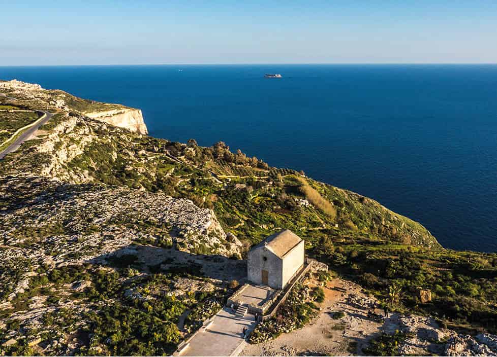
You wont be stuck for gorgeous coastal views, but the best are seen along the Dingli trail ().
Viewing Malta
Island Hoppers
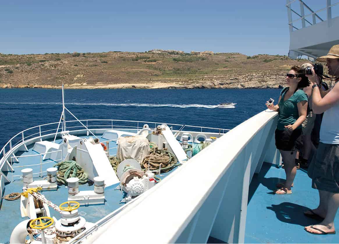
The Maltese Archipelago is made up of three main islands. Head to the north of Malta to take the ferry to Comino (Route 12) for a swim in the Blue Lagoon, or across to Gozo () for dinner.
Sylvaine Poitau/Apa Publications
Markets
Most Maltese towns have a weekly market. The most popular are the daily market on Merchants Street in Valletta ().
Sylvaine Poitau/Apa Publications
Temples
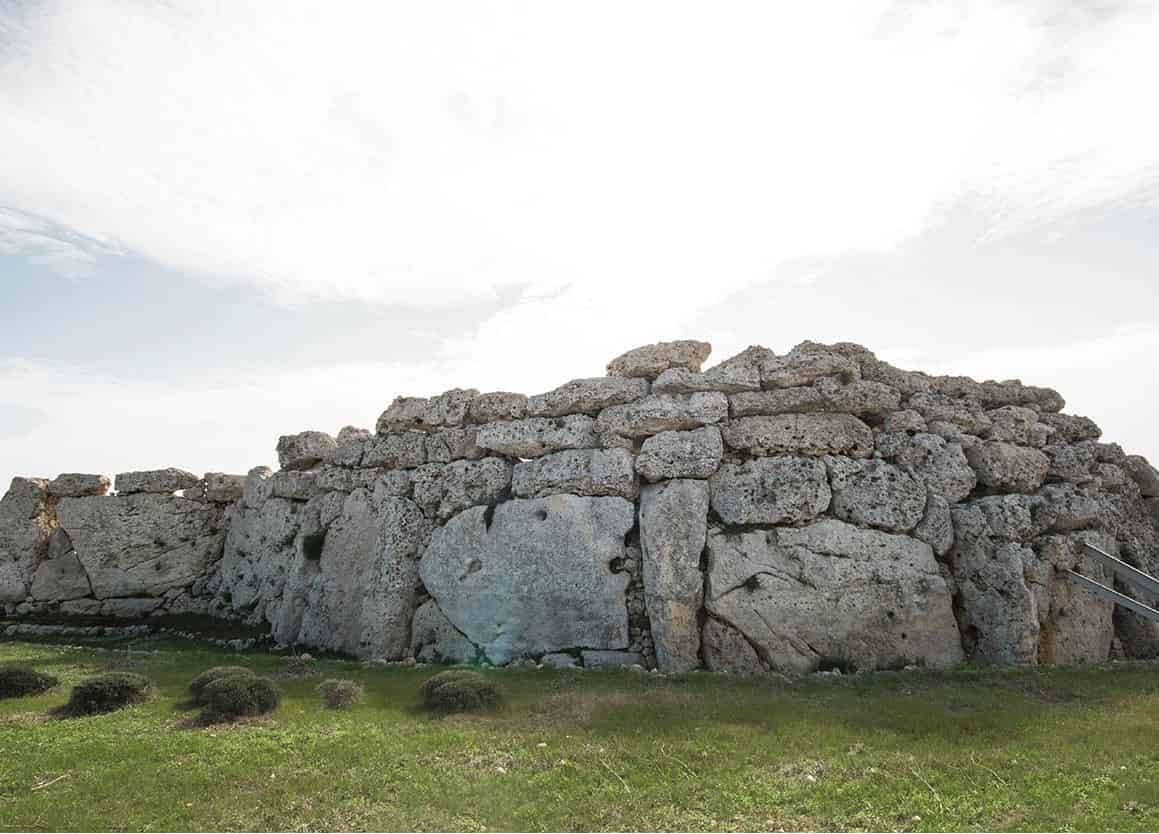
7,000 years of history are showcased here - including the oldest freestanding structures in the world. Head to the Temple Region () to Ggantija.
Viewing Malta
Top Museums
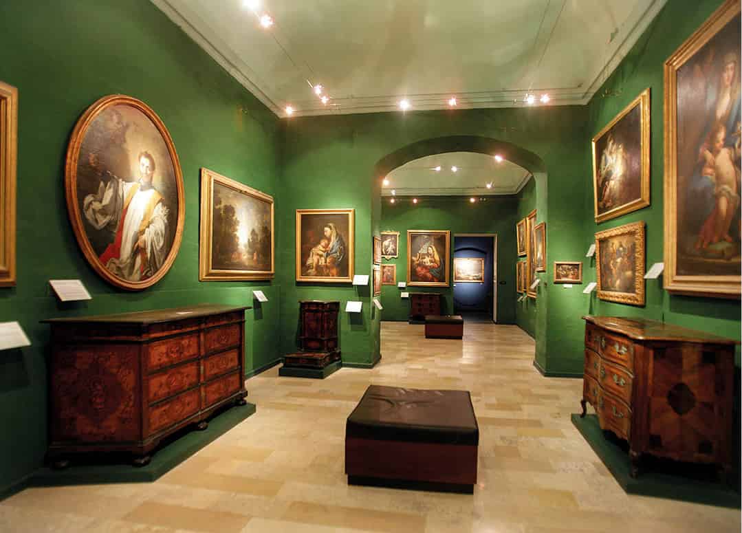
Valletta has been called an open air museum and most of the islands best museums are found here ().
Viewing Malta
Walking and Hiking
Both the north () can be hiked round in a day.
Viewing Malta
Explore Malta
Over 2,000 years have passed since the Ancient Greeks nicknamed the island Melit, meaning sweet-honey. Times have certainly changed since then, but Malta still remains the sweetheart of the Mediterranean.
Located at the crossroads between the Old Continent, the wealthy African mainland and the Near East, Malta has always been at the core of many of historys major events. Yet, while the past is definitely still present in the customs and aesthetics of modern Malta, the country is experiencing a new golden age in business and economy.
Geography and Layout
Malta is a tiny island measuring just 316 sq km and located 93km (57.7 miles) south of Sicily and approximately 300km (186.4 miles) north of Libya, making it one of Europes most southern points. The archipelago is made up of three inhabited islands, namely Malta, Ghawdex (Gozo) and Kemmuna (Comino), and another 18 uninhabited islands.
While most of the 18 uninhabited islands are no more than large rocks in the sea, some are of great historical and ecological importance. These include Hagret il-general (Fungus Rock) in Dwejra, Gozo, which is one of a handful of places where a parasitic flowering plant thought to cure dysentery, bleeding and impotence ( Cynomorium Coccineum ) grows. Another is Filfa, which can be spotted from the promenade of Wied i-urrieq, where various species of birds breed there on a yearly basis, and an endemic black wall lizard with two tails is said to thrive.
Due to the many hours of strong sunshine experienced in Malta, and the lack of any permanent rivers or lakes, the islands landscape is characterised by terraced fields, dry vegetation, limestone and rock. And while most woods on the island were cut down centuries ago, olive, ficus, citrus, pine, tamarisk and carob trees can be found all across the landscape.


