IMAGES
of America
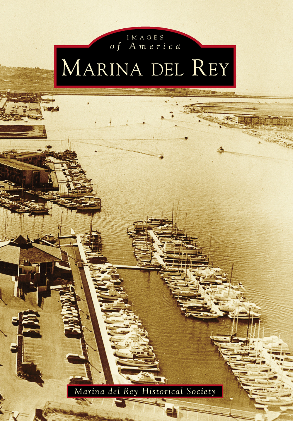
MARINA DEL REY

The planned Marina del Rey Small Craft Harbor site is shown in this February 1955 map, which was included in the countys bidders packet for prospective leasehold developers. The railway tracks no longer exist. The dark, small rectangle representing Marina del Rey (center left) is six miles north of Los Angeles International Airport and sits below the Playa del Rey bluffs. (Courtesy of County of Los Angeles.)
ON THE COVER: Marina del Reys main channel is 1,000 feet wide, 20 feet deep, and 1 mile long, and it was engineered to true north-south headings. The six-sided clubhouse of California Yacht Club and anchorage are visible alongside Basin F in the left foreground of this 1969 photograph. Marina del Rey Hotel, formerly the Sheraton hotel, is the building with boat slips at center left. The vacant dirt lot (mole) in the upper left became Burton Chace Park next to Basin H, the commercial water section for boat repair and the small-boat launch ramp. (Courtesy of County of Los Angeles.)
IMAGES
of America
MARINA DEL REY
Marina del Rey Historical Society

Copyright 2014 by Marina del Rey Historical Society
ISBN 978-1-4671-3180-3
Ebook ISBN 9781439647127
Published by Arcadia Publishing
Charleston, South Carolina
Library of Congress Control Number: 2013954910
For all general information, please contact Arcadia Publishing:
Telephone 843-853-2070
Fax 843-853-0044
E-mail
For customer service and orders:
Toll-Free 1-888-313-2665
Visit us on the Internet at www.arcadiapublishing.com
To Mimi and Greg Wenger of Marina del Rey, whose farsighted efforts to preserve historic photographs and documents make this book possible.
CONTENTS
ACKNOWLEDGMENTS
The opportunity to showcase the origins and development of the magnificent engineering accomplishment called Marina del Rey was too enticing to pass up for the recently established Marina del Rey Historical Society (MDRHS). In addition to Mimi and Greg Wenger, volunteer editors, writers, and researchers are Rikki Barker, Janet Bubar Rich, David Maury, Patrick Reynolds, Liz Hjorth, Tim Tunks, Judith Endler, Christopher Gillum, Tom McMahon, and Willie Hjorth. They generously donated time and expertise to compile information and images for this work.
Thanks go to Laura Willette Miller and Donna Willette Wooley, and to Mike Priest, for sharing their personal stories and photographs of Lake Los Angeles, also known as Mud Lake, and of Hoppyland.
We are most grateful to Alan H. Jutzi, Avery Chief Curator, Rare Books, of the Huntington Library, for making available Los Angeles County Regional Planning (LACRP) documents from 1938 to 1965.
Very special thanks go to Los Angeles County Department of Beaches and Harbors (LACDBH), Los Angeles County Fire Department (LACFD), and LACRP for the use of photographs and documents.
We extend gratitude to the donors of Summa Corporation, Security Pacific National Bank Historical Collection (SPNBHC), and the named individuals and organizations who have shared their archives in this work.
A huge debt of gratitude goes to Dan Khoury and Christina Maury for their invaluable technical support. We thank Gary Thornton, retired Marina del Rey harbormaster, and former Fishermans Village general manager Stan Berman for making available their documents. Special appreciation for their encouraging support is extended to MDRHS board members Howard Wenger, Barbara Slavin, Debbie Talbot, and Ken Englert.
Courtesy for images used are named throughout, including the following: Los Angeles County Board of Supervisors (LACBS); Los Angeles County Regional Planning (LACRP); Los Angeles County Department of Beaches and Harbors (LACDBH); Los Angeles County Fire Department (LACFD); and Security Pacific National Bank Historical Collection (SPNB Collection).
INTRODUCTION
What started as one mans vision in 1887 has become a booming recreational boating utopia. The man was Moye L. Wicks, a real estate speculator. His vision was to transform Playa del Reys estuary into a major commercial harbor for the Atchison, Topeka & Santa Fe Railway to support shipping demands for the increased import and export of goods.
With the idea of establishing this area as a commercial harbor for Los Angeles, Wicks organized the Port Ballona Development Company to raise money for developing the area. Within three years, however, the company went bankrupt. The wharf that Wickss Port Ballona Development Company built in the early 1900s was destroyed by seasonal heavy rains and flooding. The site, formerly part of the Machado Mexican-Spanish land grant, reverted back to a marshland, rich with ducks, fish, and birds.
The wildlife haven became a recreational playground for duck hunters and fishermen, as well as a destination for location shoots in the burgeoning motion picture industry. Culver City, home since 1918 to movie studios, including Metro-Goldwyn-Mayer, was within three miles of the wetlands. Culver City residents picnicked on the estuary banks of the meandering Ballona Creek, whose flooding propensity was finally tamed by concrete revetments built by the US Army Corps of Engineers in 1938.
Small commercial stores lined the Culver City roads through the farmland to the popular city of Venice, known for its laid-back beaches, vacation cottages, and elaborate canal system once provisioned with gondolas and gondoliers. Wide-ranging entertainment venues, from bathhouses and theaters to coffeehouses and cafs, served alcoholic beverages in the early 1900s when other communities would not. With the discovery of oil in Venice in 1929, the boom was on. Oil wells were limited to two per city block. By 1932, the oil, once offering hope to so many, left the marshland riddled with oily residue attracting mosquitoes, crime, and the need for expensive mosquito-abatement maintenance.
A 1916 study by the Corps of Engineers deemed the Ballona area impractical for a harbor. Following the Great Depression, the harbor idea was reopened for review in 1936 by Congress and the Los Angeles County Board of Supervisors. Intensive economic feasibility studies were prepared in 1938 by the Los Angeles County Regional Planning Commission to develop the area into a recreational harbor, after San Pedro was chosen as the preferred site for the international commercial Port of Los Angeles.
Thus, the vision of Marina del Rey (Harbor of the King) for pleasure-boating was born. Plans were set aside due to World War II. In 1949, the Corps of Engineers submitted a plan to Congress outlining the feasibility of constructing a harbor in the Playa del Rey inlet area for up to 8,000 boats, at an estimated cost of $24 million. A revised master plan was given first priority. Prominent county advocates Rex Thomson and Arthur Will pushed for the transformation of the former tidal marsh and oil field into a modern harbor and community.
Financing was obtained in 1953 from the California State tidelands oil revenues to purchase much of the harbor site. In 1954, civic leaders and politicians, led by newly elected supervisor Burton W. Chace of the Fourth District, County of Los Angeles, lobbied for funding legislation from the State of California, the City and County of Los Angeles, and the federal government. Later in 1954, Pres. Dwight Eisenhower signed Public Law 780, making the harbor an authorized federal project. Federal, state, city, and county funds were committed, with voters approving a $13 million municipal revenue bond issue in 1956 to raise funds to build the water infrastructure.
Next page


