
photo: Thomas Chatzigeorgiou
Aris Leontaritis is a PhD candidate in the glacial geomorphology of the mountains of Greece. He was born in Athens, where he studied and worked as a mechanical engineer for a few years before his love for the mountains and their nature inspired him to change direction. Already connected with the region of Epirus as a visitor, he moved to Metsovo to participate in a postgraduate programme on the development prospects of mountainous regions, with respect to the preservation of local identity, culture and environment.
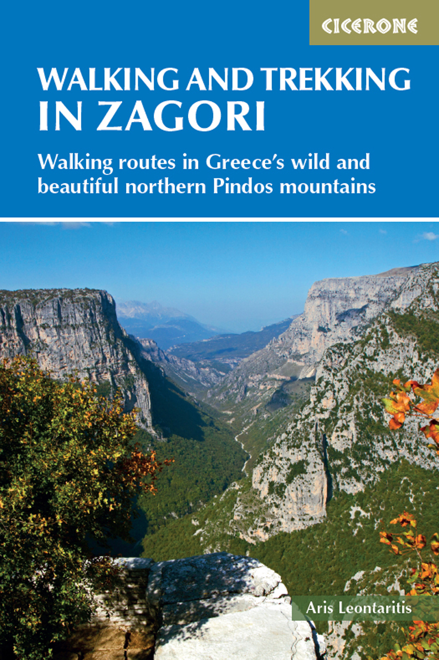
WALKING AND TREKKING IN ZAGORI
WALKING ROUTES IN GREECES WILD AND BEAUTIFUL NORTHERN PINDOS MOUNTAINS
by Aris Leontaritis
JUNIPER HOUSE, MURLEY MOSS,
OXENHOLME ROAD, KENDAL, CUMBRIA LA9 7RL
www.cicerone.co.uk
Aris Leontaritis 2019
First edition 2019
ISBN 9781783626946
Printed in China on behalf of Latitude Press Ltd
A catalogue record for this book is available from the British Library.
All photographs are by the author unless otherwise stated.
 Route mapping by Lovell Johns www.lovelljohns.com
Contains OpenStreetMap.org data OpenStreetMap contributors, CC-BY-SA. NASA relief data courtesy of ESRI
Updates to this Guide
While every effort is made by our authors to ensure the accuracy of guidebooks as they go to print, changes can occur during the lifetime of an edition. Any updates that we know of for this guide will be on the Cicerone website (www.cicerone.co.uk/941/updates), so please check before planning your trip. We also advise that you check information about such things as transport, accommodation and shops locally. Even rights of way can be altered over time.
The route maps in this guide are derived from publicly available data, databases and crowd-sourced data. As such they have not been through the detailed checking procedures that would generally be applied to a published map from an official mapping agency, although naturally we have reviewed them closely in the light of local knowledge as part of the preparation of this guide.
We are always grateful for information about any discrepancies between a guidebook and the facts on the ground, sent by email to updates@cicerone.co.uk or by post to Cicerone, Juniper House, Murley Moss, Oxenholme Road, Kendal, LA9 7RL.
Register your book: To sign up to receive free updates, special offers and GPX files where available, register your book at www.cicerone.co.uk.
Acknowledgements
Limited space permits me to mention only a few of the many people who have helped writing this book. I would like to thank Miltos Karamanlis, Dimitris Verdelis, George Tsitsigos, Christos Vassilakos and all those who accompanied me on numerous field trips in Zagori and Konitsa making this time enjoyable. Thanks to the Kalaitzis family for their kindness to grant me the use of their family house in Konitsa as a hiking base during those field trips.
I would also like to thank David Koutsogiannopoulos of www.naturagraeca.com and Stefanos Petrou for their contribution to this guide; Georgia Kanellopoulou for local information and help; Ian Robertson for proof reading the texts, Deborah Van Heerden and Natalie Simpson for editing and Andrea Grimshaw and Sian Jenkins of Cicerone press for their help.
Finally, many thanks to Elena Dalamara for her inspiration, support and help throughout this beautiful project.
CONTENTS

The peak of Avgo as seen from Mt Mavrovouni on the southern side of Valia Calda (Walk 27 extension)

The view of the Aoos Gorge from the natural balcony at the Stomiou Monastery (Walks 24 and 25)
INTRODUCTION
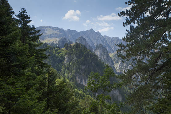
Impressive views of the saw-toothed northern crest of Mt Timfi pop out briefly through gaps in the trees on Walk 20
A first visit to Greeces Zagori region will linger long in memory. Setting off from the basin of Ioannina, you climb over Mt Mitsikeli to enter this fantastic world. Thick forests and stunning mountain scenery welcome you, with rocky canyons and impassable ravines gracefully bridged by the ubiquitous stone arch bridges. How many locals, travellers and merchants must have crossed these bridges over the years, carrying wealth, fresh ideas, good or unexpected news, hopes and fears?
Today, walking over these same bridges and along the well-preserved network of paths, it is possible to reach most of the villages of the region on foot. You can admire their stupendous architecture and rich history, the cobbled alleys and beautiful stone mansions, then enjoy the atmosphere in a traditional local caf, usually located in the village square under the shade of a vast plane tree.
A first view of the dramatic Vikos Gorge or daunting northern crags of Mt Timfi; an encounter with a brown bear in the mystical forests of Valia Calda; rewarding hikes to the alpine tarns of Drakolimni (Dragonlakes) and the barren peaks of Mt Timfi and Mt Smolikas with their endless views these are just some of the magical experiences awaiting you in Zagori. Such indescribable beauty cannot fail to generate awe and wonder and is bound to leave a lasting impression.
Zagori: a historical and cultural overview
Zagori in Slavic means the place beyond the mountain, which is exactly what it is. It consists of 44 isolated villages scattered over a wild mountainous area just behind Mt Mitsikelli, as seen from Ioannina, the largest city of Epirus and historically its economic and cultural capital. In the ancient times, Epirus was inhabited by the Molossians and other Greek tribes and was renowned for the prestigious sanctuary of Dodona, the oldest ancient Greek oracle. Unified into a powerful single state and under the reign of King Pyrrhus (290 BC ), the Epirotes warred against Rome and even though they did reach its outskirts they eventually had to retreat. Epirus subsequently fell to Rome in 167 BC , which was followed by the Byzantine Empire and the Ottoman Empire.






 Route mapping by Lovell Johns www.lovelljohns.com


