One
LYTLE CREEK WATER
A LIFELINE
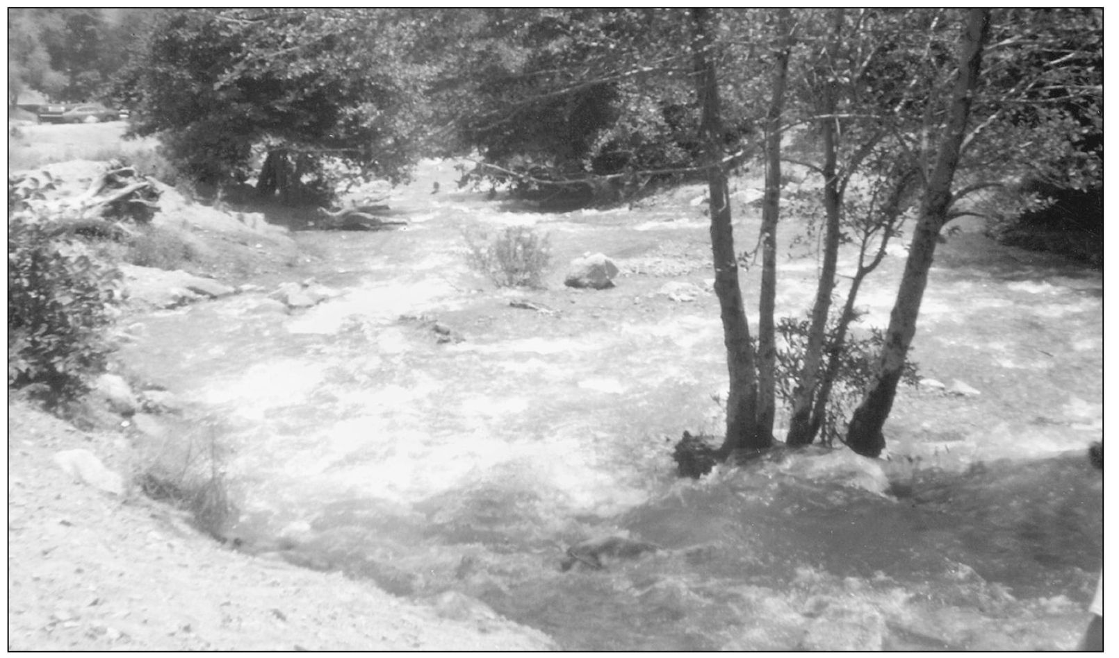
The San Gabriel Mountains run west to east across North Fontana to Cajon Pass. The watershed of Mount Baldy flows through Lytle Creek and other small creeks to canyons along the foothills in the south. In earlier days, open dirt ditches brought down the water. Later it was channeled through pipes and concrete ditches. The local water companies in charge of this watershed were Lytle Creek Water Company, Semi-Tropic Land and Water Company, Lytle Creek Water and Improvement Company, Fontana Development Company, Fontana Water Company, Fontana Union Water Company, Fontana Domestic Water Company, and now the San Gabriel Water Company The waterways and ditches were Grapeland Irrigation District ditches (west and east), Rialto Ditch (18881940), Carnaigre Ditch (18971930), the Grapeland west ditch (1892present), and east ditch (18921937). Another water source was the Crawford Canyon Mutual Water Company, which supplied about 40 homes in the Grapeland area of North Fontana. The canyon citizens also use the water as it runs through the area towards Fontana waterworks at the mouth of the canyon. The canyon is a beautiful place to picnic and enjoy nature.
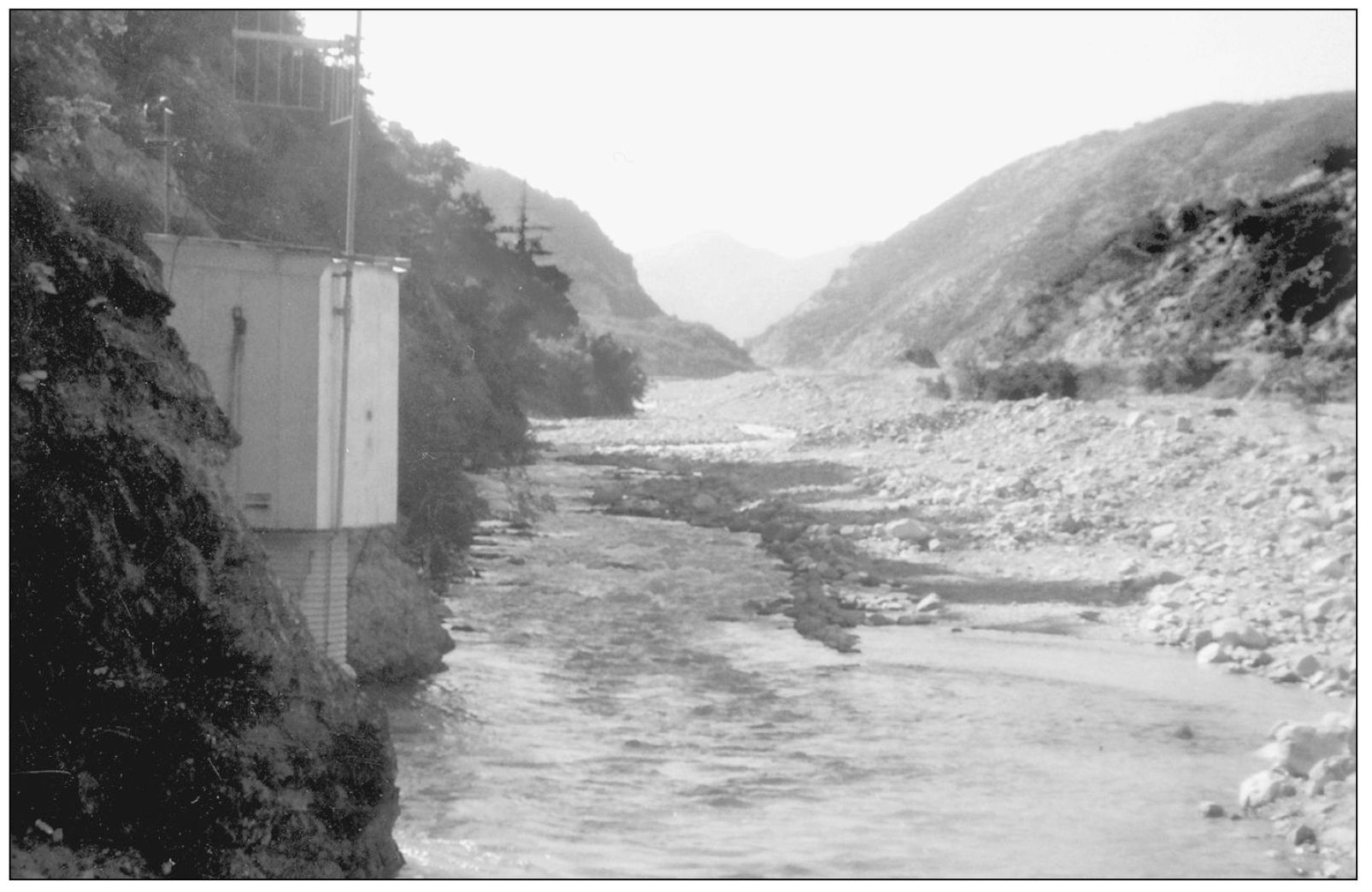
As the creek flows toward the mouth of the canyon, the water is above ground in the streambed, but the main flow travels through an underground tunnel built in the 1890s by the Grapeland Irrigation District. To the left of this photo is the tunnel entrance. If you stand on the south side of the road by this building, you can hear the water running under you below a metal grate.
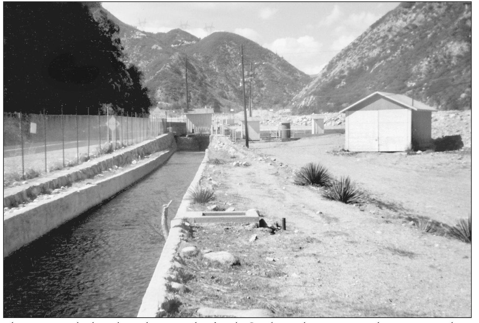
The concrete ditches along the east side of Lytle Creek Road as you go up the canyon road are the property and responsibility of Fontana Water Works.
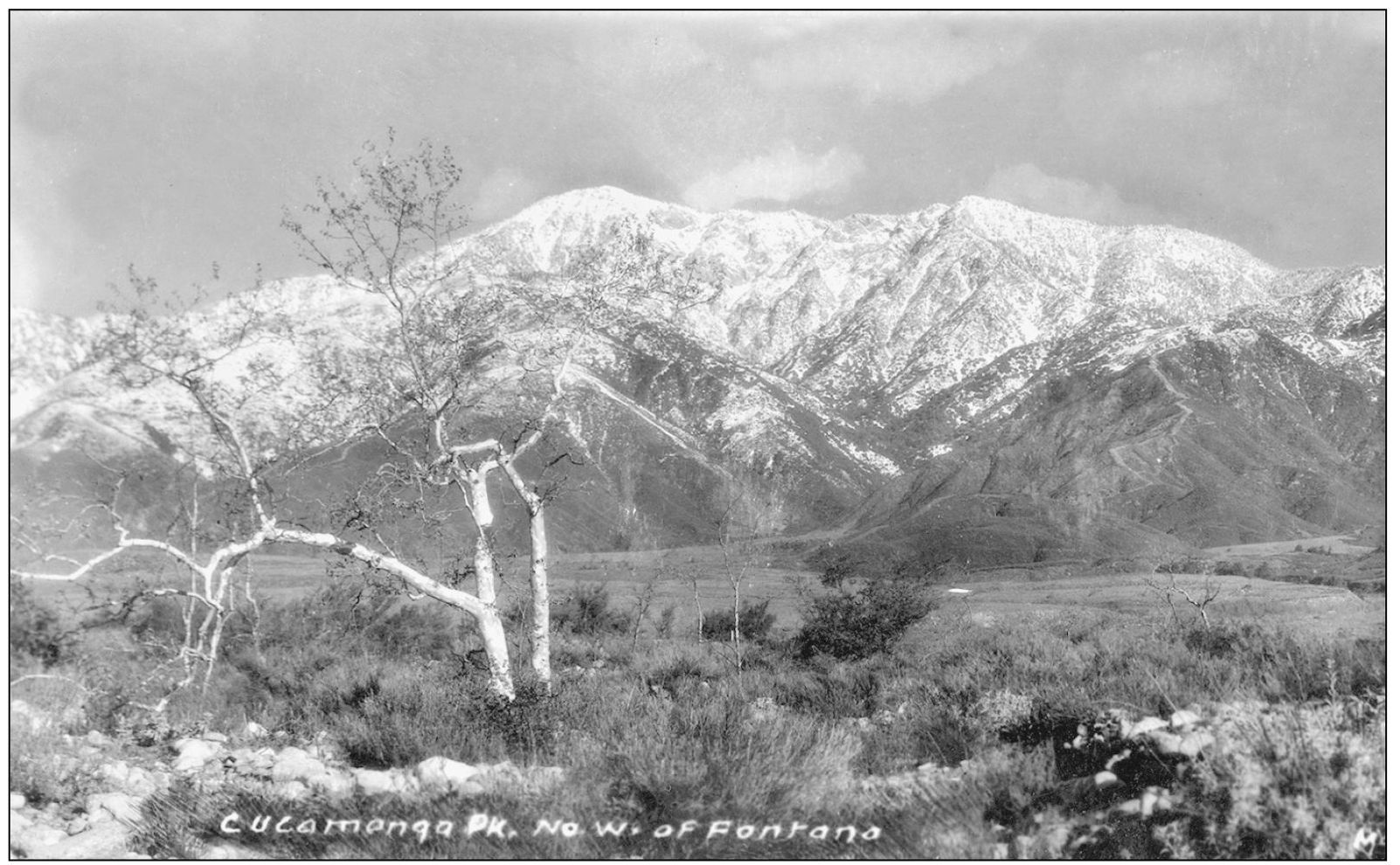
Cucamonga Peak in the San Gabriel Mountains has a watershed that joins Mount Baldys to flow down canyons and into the Lytle Creek drainage area to supply Fontana.
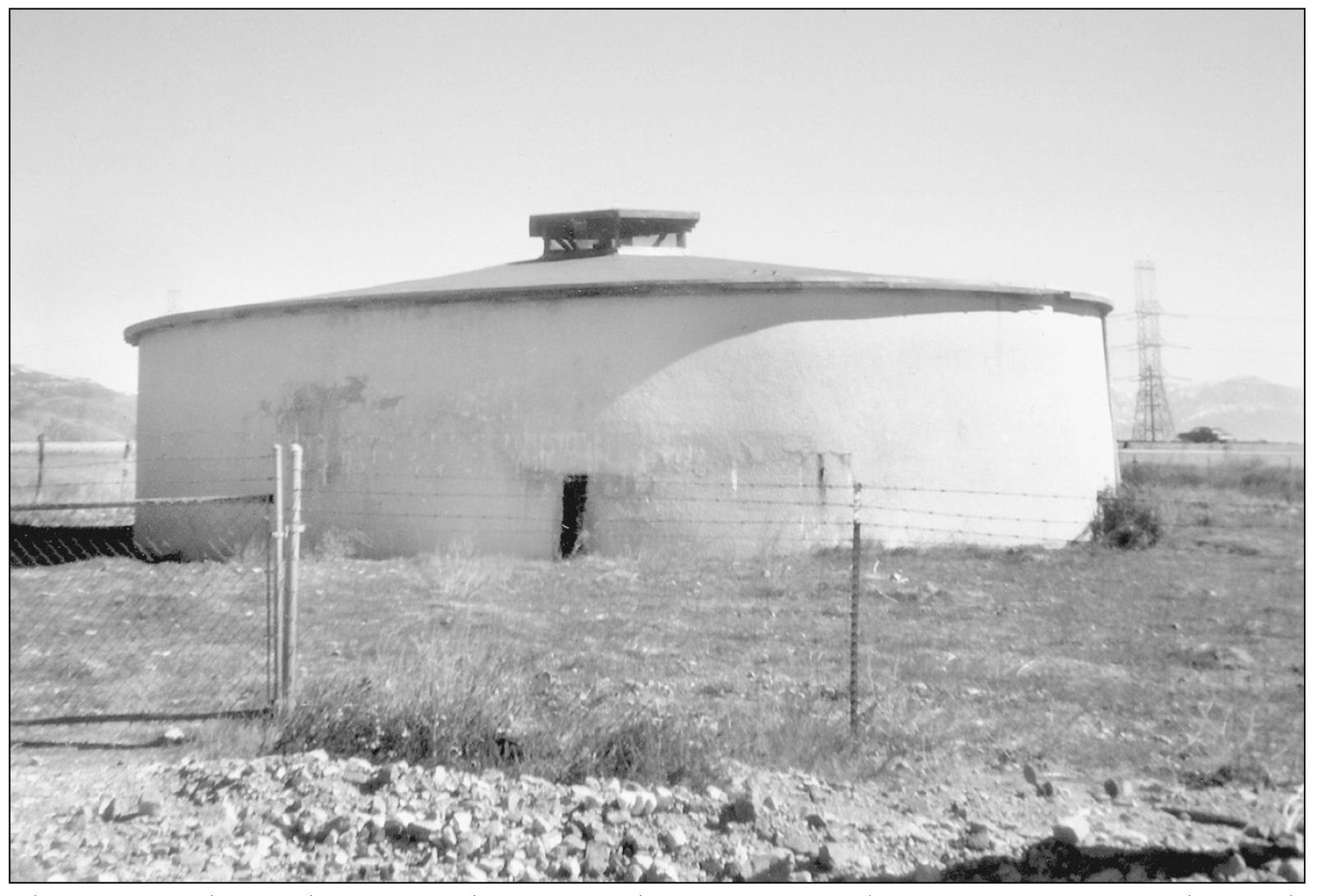
The water tank seen here is for the Crawford Canyon Mutual Water Company on the south side of Lytle Creek Road, next to the I-15 Freeway. The canyon on the side of the foothills supplies the tank via a small dam and pipes.
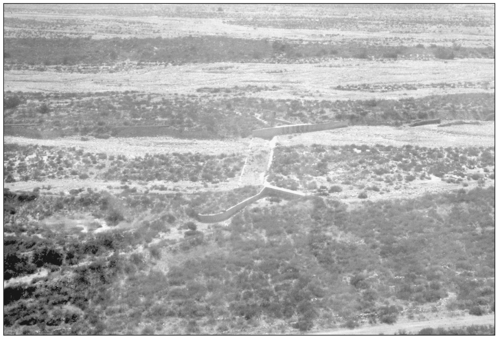
This 1930s aerial shot looks east at the 1930s dam area and gateways in Lytle Creek that were never completed. The plan was to stop the flow so it would go into the ground water table, but funds ran dry and the 1938 floods signaled the need for a different approach. The uncompleted dam is located just south of the I-15 Freeway, east of Sierra Avenue and Riverside Avenue.
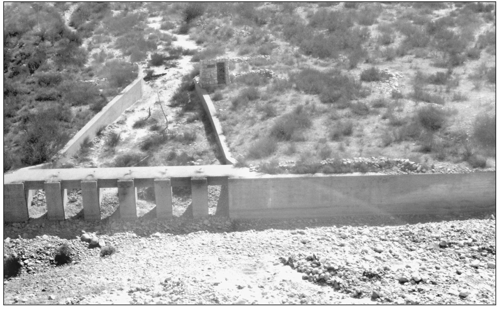
This view looks south from the I-15 Freeway at the main dam area, with the floodgates opening the diversion channel in Lytle Creek. The concrete works are still present today, evidence of past flood engineering.
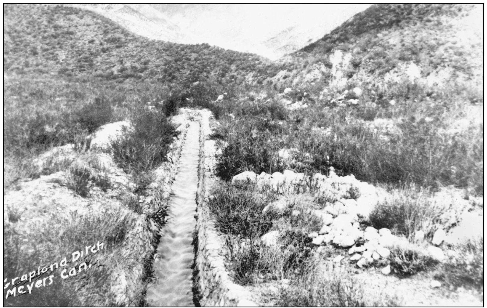
This 1870s photo shows the Water Ditch (actually mostly a dirt ditch) exiting the canyon to the Grapeland area.
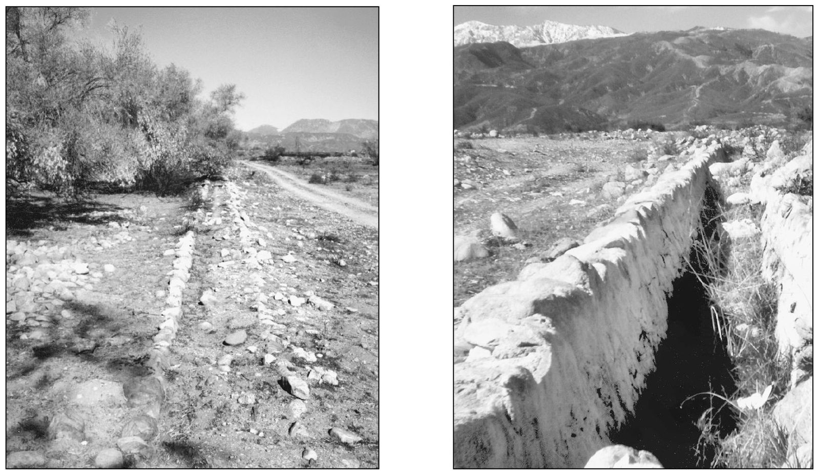
The photo on the left shows the western branch of the Grapeland Ditch (18921930) west of Sierra Avenue. Before it was redeveloped, the ditch ran for two miles to near Highland Avenue, half a mile west of Sierra Avenue, where Sierra Lakes is today. This photo was taken in the 1980s. The eastern branch was also lost to development in Rialto. The photo on the right shows the eastern branch of the Canaigre Ditch (18971930) looking northwest to the east of Riverside Avenue. Its concrete lining was mixed with stones and cement. The western branch still exists, but will be lost to development like the eastern portion was in Rialto. Fontana has the western branch.
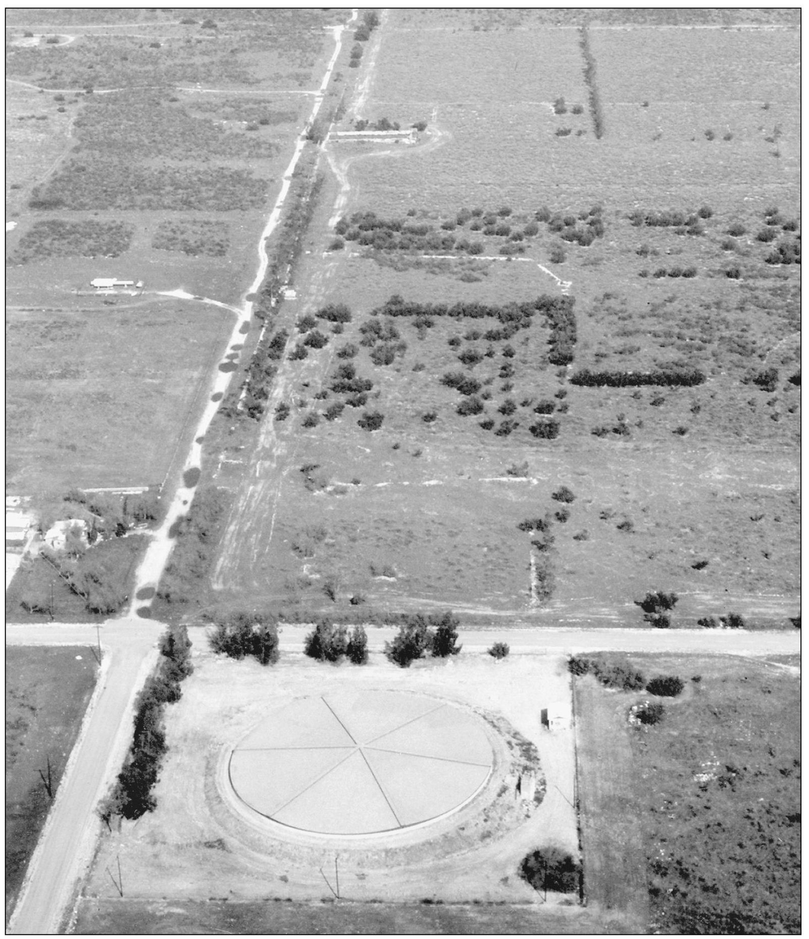
This aerial view shows the main Grapeland Irrigation District that ran along Summit Avenue, which was a dirt road at the time. The ditch (at about center left) had a concrete pipe inside to carry water to the aqueduct that ran east to west on the diagonal roadway (from top of photo to the reservoir at lower right, off Summit Avenue). The water came through a tunnel 90 feet below the creek in a tunnel 3,600 feet long with 20 shafts to collect water into gravels that were a natural subterranean reservoir. The four-by-six-foot tunnel was made of concrete. The round reservoir at the bottom was the 1887 Scofield Reservoirthe largest in the area. The diameter at the top was 210 feet, at the bottom 198 feet. It had a vertical slope of 7 feet, a depth of 14 feet, and a capacity of 3.6 million gallons. The Scofields owned 1,520 acres of flat land. The reservoir is now covered and in use. Pictured on page 15 is the aqueduct that runs on the right side of Summit Avenue to the large, rectangular reservoir in the upper center of this photo. The Scott site is just above the reservoir, and the white lines are aqueducts.

