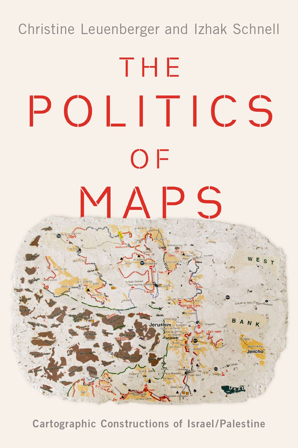
Christine Leuenberger - The Politics of Maps: Cartographic Constructions of Israel/Palestine
Here you can read online Christine Leuenberger - The Politics of Maps: Cartographic Constructions of Israel/Palestine full text of the book (entire story) in english for free. Download pdf and epub, get meaning, cover and reviews about this ebook. year: 2020, publisher: Oxford University Press, genre: Politics. Description of the work, (preface) as well as reviews are available. Best literature library LitArk.com created for fans of good reading and offers a wide selection of genres:
Romance novel
Science fiction
Adventure
Detective
Science
History
Home and family
Prose
Art
Politics
Computer
Non-fiction
Religion
Business
Children
Humor
Choose a favorite category and find really read worthwhile books. Enjoy immersion in the world of imagination, feel the emotions of the characters or learn something new for yourself, make an fascinating discovery.

- Book:The Politics of Maps: Cartographic Constructions of Israel/Palestine
- Author:
- Publisher:Oxford University Press
- Genre:
- Year:2020
- Rating:3 / 5
- Favourites:Add to favourites
- Your mark:
The Politics of Maps: Cartographic Constructions of Israel/Palestine: summary, description and annotation
We offer to read an annotation, description, summary or preface (depends on what the author of the book "The Politics of Maps: Cartographic Constructions of Israel/Palestine" wrote himself). If you haven't found the necessary information about the book — write in the comments, we will try to find it.
Christine Leuenberger: author's other books
Who wrote The Politics of Maps: Cartographic Constructions of Israel/Palestine? Find out the surname, the name of the author of the book and a list of all author's works by series.


The Politics of Maps: Cartographic Constructions of Israel/Palestine — read online for free the complete book (whole text) full work
Below is the text of the book, divided by pages. System saving the place of the last page read, allows you to conveniently read the book "The Politics of Maps: Cartographic Constructions of Israel/Palestine" online for free, without having to search again every time where you left off. Put a bookmark, and you can go to the page where you finished reading at any time.
Font size:
Interval:
Bookmark:
![]()
Oxford University Press is a department of the University of Oxford. It furthers the Universitys objective of excellence in research, scholarship, and education by publishing worldwide. Oxford is a registered trade mark of Oxford University Press in the UK and certain other countries.
Published in the United States of America by Oxford University Press
198 Madison Avenue, New York, NY 10016, United States of America.
Oxford University Press 2020
All rights reserved. No part of this publication may be reproduced, stored in a retrieval system, or transmitted, in any form or by any means, without the prior permission in writing of Oxford University Press, or as expressly permitted by law, by license, or under terms agreed with the appropriate reproduction rights organization. Inquiries concerning reproduction outside the scope of the above should be sent to the Rights Department, Oxford University Press, at the address above.
You must not circulate this work in any other form and you must impose this same condition on any acquirer.
Library of Congress Cataloging-in-Publication Data
Names: Leuenberger, Christine, author. | Schnell, Izhak author.
Title: The politics of maps : cartographic constructions of Israel/Palestine /
Christine Leuenberger, Cornell University,
and Izhak Schnell, Tel Aviv University.
Description: New York, NY : Oxford University Press, [2020] |
Includes bibliographical references and index.
Identifiers: LCCN 2019057040 (print) | LCCN 2019057041 (ebook) |
ISBN 9780190076238 (hardback) | ISBN 9780190076252 (epub)
Subjects: LCSH: CartographyPolitical aspectsIsrael. |
CartographyPolitcal aspectsPalestine.
Classification: LCC GA1323.7.A1 L48 2020 (print) |
LCC GA1323.7.A1 (ebook) | DDC 956.9405dc23
LC record available at https://lccn.loc.gov/2019057040
LC ebook record available at https://lccn.loc.gov/2019057041
To my beloved children Annika Caroline Pinch and Benika Joan Pinch
Christine
To my beloved family Gila, Yael, Michal, and Zohar
Izhak
How is it that an Israeli geographer and a Swiss-American sociologist and Science Studies scholar came together to write about the politics of maps in Israel? It all started with an email in 2005. At that time, I (Christine) asked then graduate student Shay David whether he could assist me in finding Israeli academics interested in co-investigating the social consequences of the Separation Wall that the Israeli government had started to build in 2002. He connected me with Uri Gopher, who wrote to me on October 14, I am more than happy to assist you with your interesting and important research initiative and proceeded to name Izhak from the Department of Geography and the Human Environment at Tel Aviv University as a professor who is very keen to speak with you about this. By November 2, Izhak and I were already brainstorming about what that joint project could be. Because of my ongoing teaching obligations and lack of funding, it was not until spring 2008, after I received a Fulbright Scholar Award, that I could spend a semester at Tel Aviv University.
Upon my arrival in Tel Aviv, Izhak became one of my most trusted informants, friends, and colleagues. As we traveled together across Israel and the West Bank, we kept talking about the history and geography of the Israeli-Palestinian conflict. It became increasingly clear to me that in order to fathom the complexity of the geography of the conflict, one had to walk the land and drive along and through it to fully appreciate the intermingling of Palestinian and Jewish Israeli spaces. Indeed, the embodied experience of being in these spaces of contention can provide a most vivid and vicarious understanding of this entrenched conflict over land, territory, and histories.
Ethnographers have long maintained that having a trusted local mentor is the single most important aspect of doing fieldwork. Izhak opened my eyes to the complexities of Israeli society in the midst of the continuously simmering Israeli-Palestinian conflict. The land- and cityscapes became alive with the stories he told. The intricate social landscapes of Israeli society, its divisions and fissures, but also its unity and coherence became ever clearer to me as we were sipping coffees, walking along the barriers route, and driving for hours through the plains and hills of Israel/Palestine. During those many hours, Izhak would share his knowledge, stories, and experiences from having lived in a divided land all his life, and I was always eager to listen, to learn, and to understand what for me was uncharted territory. It was on one of our many walks to lunch in one of Tel Aviv Universitys cafeterias that we started talking about maps.
a Palestinian journalist, who was to drive me into the West Bank to interview several Palestinian experts. She was to meet me outside the American Colony Hotel in East Jerusalem. Armed with an Israeli-produced Carta map of the West Bank, I was ready to trace our route through what for me was then still unknown territory. Abir skillfully navigated through a maze of streets, avoiding the many checkpoints into the West Bank, and drove through an unfinished section of the Separation Wall crossing from a Jewish to a Palestinian neighborhood. There we werein Palestine. Then, suddenly, Abir turned to me and explained that there had been a shooting at the notorious Kalandia checkpoint between Jerusalem and Ramallah with people injured. My heart fell like a stone. Here I was in the West Bank and things were heating up at the checkpoints. But Abir said, Dont worry; we will stay out of the claws of the lion. I wasnt quite sure what she meant but trusted that she knew how to avoid the hot spots. Yet my trust in her did not stop me from following our route on my Carta map that I had purchased in Tel Aviv.
On this map, some of the roads were marked green (which in the maps key were described as safe roads for Israeli drivers); others were marked red (apparently to be avoided by Israeli drivers). Yet, as we were driving down a winding, badly maintained, road I suddenly could no longer match our location to the map at all. Slightly panicked, not least because we were to stay out of the tigers claws, I triedfor what seemed like a rather long timeto trace our location. Finally, I plugged up the courage to tell Abir I cannot find where we are on the map anymore. She looked at me and laughed. What is this map you have there? Oh, a Carta map. No wonderwe came off that map a long time ago! Not only was I now in unknown territory, but we had also just fallen off the map. I wondered, how could we just have fallen off the map? Why were Israeli infrastructures in the West Bank over-represented while Palestinian roads, towns, and villages were under-represented or eliminated from the map? The reasons for our falling off the map that day was to preoccupy me for the next few years.
It was on one of my and Izhaks many walks to one of Tel Aviv Universitys cafeterias that Izhak told me the story of how he also had become fascinated by the politics of maps. As he recounted, it was 2005 and an Israeli withdrawal from the Gaza Strip was imminent. So, he will pick up the story from here.
(which advocates a two-state solution to the Israeli-Palestinian conflict)was tasked to produce a set of maps. After the then prime minister Ariel Sharon had suggested a possible Israeli withdrawal from Gaza and Jericho, Peace Now conducted a survey to learn Israeli settlers possible response to a withdrawal. The data showed that to do so would not cause a widely feared civil war in Israel. The survey was of interest to the media and I started to prepare two geographic information systems (GIS) maps visualizing the data. The maps showed three different possible responses by the settlers to a withdrawal: acceptance of compensation for withdrawal, opposition, or outright violence.
Font size:
Interval:
Bookmark:
Similar books «The Politics of Maps: Cartographic Constructions of Israel/Palestine»
Look at similar books to The Politics of Maps: Cartographic Constructions of Israel/Palestine. We have selected literature similar in name and meaning in the hope of providing readers with more options to find new, interesting, not yet read works.
Discussion, reviews of the book The Politics of Maps: Cartographic Constructions of Israel/Palestine and just readers' own opinions. Leave your comments, write what you think about the work, its meaning or the main characters. Specify what exactly you liked and what you didn't like, and why you think so.