Jimmy Cornell - World Cruising Routes: 1,000 Sailing Routes in All Oceans of the World
Here you can read online Jimmy Cornell - World Cruising Routes: 1,000 Sailing Routes in All Oceans of the World full text of the book (entire story) in english for free. Download pdf and epub, get meaning, cover and reviews about this ebook. year: 2022, publisher: Adlard Coles, genre: Science / History. Description of the work, (preface) as well as reviews are available. Best literature library LitArk.com created for fans of good reading and offers a wide selection of genres:
Romance novel
Science fiction
Adventure
Detective
Science
History
Home and family
Prose
Art
Politics
Computer
Non-fiction
Religion
Business
Children
Humor
Choose a favorite category and find really read worthwhile books. Enjoy immersion in the world of imagination, feel the emotions of the characters or learn something new for yourself, make an fascinating discovery.

- Book:World Cruising Routes: 1,000 Sailing Routes in All Oceans of the World
- Author:
- Publisher:Adlard Coles
- Genre:
- Year:2022
- Rating:3 / 5
- Favourites:Add to favourites
- Your mark:
World Cruising Routes: 1,000 Sailing Routes in All Oceans of the World: summary, description and annotation
We offer to read an annotation, description, summary or preface (depends on what the author of the book "World Cruising Routes: 1,000 Sailing Routes in All Oceans of the World" wrote himself). If you haven't found the necessary information about the book — write in the comments, we will try to find it.
This new, fully revised and updated 9th edition assesses how changes around the world (including Brexit and Covid) have affected cruising routes and how climatic change has altered the cruising landscape and necessitated adaptations in timing and route-planning. It provides over 6,000 waypoints to assist skippers in planning individual routes, and is the perfect one-stop reference for planning a cruise anywhere in the world.
The most important book for long-distance voyagers to come along in decades.
Cruising World
Jimmy Cornell: author's other books
Who wrote World Cruising Routes: 1,000 Sailing Routes in All Oceans of the World? Find out the surname, the name of the author of the book and a list of all author's works by series.


World Cruising Routes: 1,000 Sailing Routes in All Oceans of the World — read online for free the complete book (whole text) full work
Below is the text of the book, divided by pages. System saving the place of the last page read, allows you to conveniently read the book "World Cruising Routes: 1,000 Sailing Routes in All Oceans of the World" online for free, without having to search again every time where you left off. Put a bookmark, and you can go to the page where you finished reading at any time.
Font size:
Interval:
Bookmark:
Other Cornell titles
World Voyage Planner
Planning a voyage from anywhere in the world to anywhere in the world
Paperback: 9781472954732
This comprehensive guide deals with all the elements that ensure a successful voyage by providing practical advice for would-be voyagers. Essential aspects of preparations for an offshore voyage are based on Jimmy Cornells personal experience gained both from his own voyages and the transatlantic and round-the-world sailing rallies he has organised over the years. While the main focus is on the most popular cruising routes, there are also suggested voyages to less-frequented destinations. World Voyage Planner is designed to be used in conjunction with World Cruising Routes and Cornells Ocean Atlas.
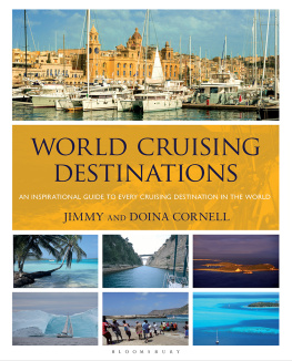
World Cruising Destinations
An inspirational guide to every cruising destination in the world
Paperback: 9781472991027
A substantial handbook that profiles every cruising destination in the world is a companion volume to World Cruising Routes and World Voyage Planner. It contains information on all maritime nations of the world with details of local attractions, formalities, facilities, charter opportunities, useful websites and cruising guides. Lavishly illustrated throughout, this book is not only a must-have onboard reference manual for long-distance sailors, but will undoubtedly inspire the adventurous to explore new and challenging destinations.
Cornells Ocean Atlas
Pilot charts for all oceans of the world
Paperback: 978-1-9997229-0-6
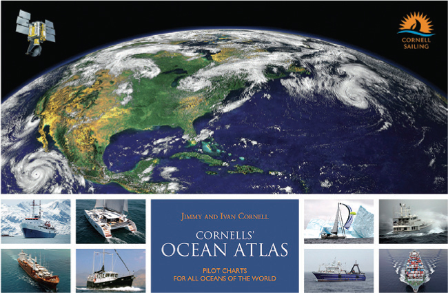
Jimmy and Ivan Cornell have produced this global atlas of pilot charts aimed at sailors planning offshore voyages. Monthly charts of all oceans of the world show wind speed and direction, current speed and direction, the extent of the Intertropical Convergence Zone, the common tracks of tropical storms, and the mean location of high-pressure cells for each hemisphere. Now in its second edition, the pilot charts have been updated with the most recent weather data gathered by meteorological satellites. An indispensable tool for anyone planning an offshore passage and companion to World Cruising Routes and World Voyage Planner.
Sail The World With Me
A memoir by the most influential sailor of modern times
Paperback: 978-1-9160910-5-4
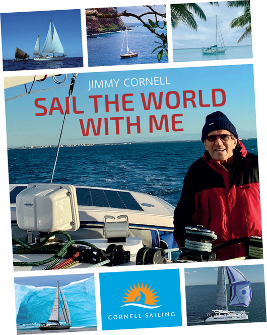
This book is based on Jimmy Cornells extensive knowledge of offshore cruising gained from an experience that stretches over five decades of roaming the oceans of the world, including three circumnavigations and voyages to Antarctica and the Arctic. Sail The World With Me deals with all essential aspects of offshore voyaging and long distance cruising. Every subject is dealt with in an informative and entertaining manner, backed up by telling incidents from the authors wide-ranging experience. While primarily aimed at sailors who are planning or making preparations for a longer voyage, this book will also appeal to ocean navigators as well as weekend sailors.
For my grandchildren Nera and Dan who share my concern for the future of our planet
ADLARD COLES
Bloomsbury Publishing Plc
50 Bedford Square, London WC1B 3DP
29 Earlsfort Terrace, Dublin 2, Ireland
This electronic edition published in 2022 by Bloomsbury Publishing Plc
BLOOMSBURY, ADLARD COLES and the Adlard Coles logo are trademarks of Bloomsbury Publishing Plc
First published in Great Britain 1987
This ninth edition published 2022
Copyright Jimmy Cornell 1987, 1990, 1995, 1998, 2008, 2014, 2018, 2020, 2022
Jimmy Cornell has asserted his right under the Copyright, Designs and Patents Act, 1988, to be identified as Author of this work
All rights reserved
You may not copy, distribute, transmit, reproduce or otherwise make available this publication (or any part of it) in any form, or by any means (including without limitation electronic, digital, optical, mechanical, photocopying, printing, recording or otherwise), without the prior written permission of the publisher. Any person who does any unauthorised act in relation to this publication may be liable to criminal prosecution and civil claims for damages.
Bloomsbury Publishing Plc does not have any control over, or responsibility for, any third-party websites referred to or in this book. All internet addresses given in this book were correct at the time of going to press. The author and publisher regret any inconvenience caused if addresses have changed or sites have ceased to exist, but can accept no responsibility for any such changes.
A catalogue record for this book is available from the British Library
ISBN: 978-1-4729-9309-0 (PB)
ISBN: 978-1-4729-9308-3 (eBook)
by Jrg Baginski, all other maps by Mark Silver
While all reasonable care has been taken in its publication, the publisher takes no responsibility for the use of the methods and products described in this book.
To find out more about our authors and their books please visit www.bloomsbury.com where you will find extracts, author interviews and details of forthcoming events, and to be the first to hear about latest releases and special offers, sign up for our newsletters.
TABLE OF CONTENTS
THE ATLANTIC OCEAN
THE PACIFIC OCEAN
THE INDIAN OCEAN
RED SEA
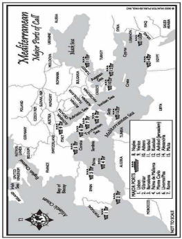
MEDITERRANEAN SEA
Acknowledgements
Ever since its first publication, this book has been a work in progress with updates, revisions and new routes being added, as my own voyages took me to new destinations. Throughout this time I have also received useful suggestions as well as corrections from many sailors, too many to mention by name here, although every one was personally thanked for their input at the time. I hope that new readers will continue to do the same and I thank them for their contributions in advance.
As a young boy growing up in Romania, caged in by an Iron Curtain, which separated me from the rest of the world, planning imaginary journeys was the only way I was able to travel. I relieved my frustrations by making dream voyages to exotic places, tracing my finger along the routes I would take on an old atlas of the world. Route planning fascinated me then and has continued to do so, even after I gained my freedom and the world lay before me. As a voyage around the world became a possibility, a finger tracing a line on a map was no longer sufficient and I started planning my voyage in earnest. Soon, pencil marks on charts were to become sailing tracks across the oceans. My dreams had turned into reality.
These words are from the introduction to the first edition of this book published in 1987. It came into being as a result of my first round the world voyage on Aventura I and it was the book that I wished I had on that voyage. In the intervening years it has evolved naturally by keeping pace with my peripatetic life. Successive editions have marked significant stages in my own voyaging. The second edition, in 1990, coincided with the start of my second circumnavigation on
Font size:
Interval:
Bookmark:
Similar books «World Cruising Routes: 1,000 Sailing Routes in All Oceans of the World»
Look at similar books to World Cruising Routes: 1,000 Sailing Routes in All Oceans of the World. We have selected literature similar in name and meaning in the hope of providing readers with more options to find new, interesting, not yet read works.
Discussion, reviews of the book World Cruising Routes: 1,000 Sailing Routes in All Oceans of the World and just readers' own opinions. Leave your comments, write what you think about the work, its meaning or the main characters. Specify what exactly you liked and what you didn't like, and why you think so.