CHOOSING A PARK
YOSEMITE NATIONAL PARK
Location: Central California
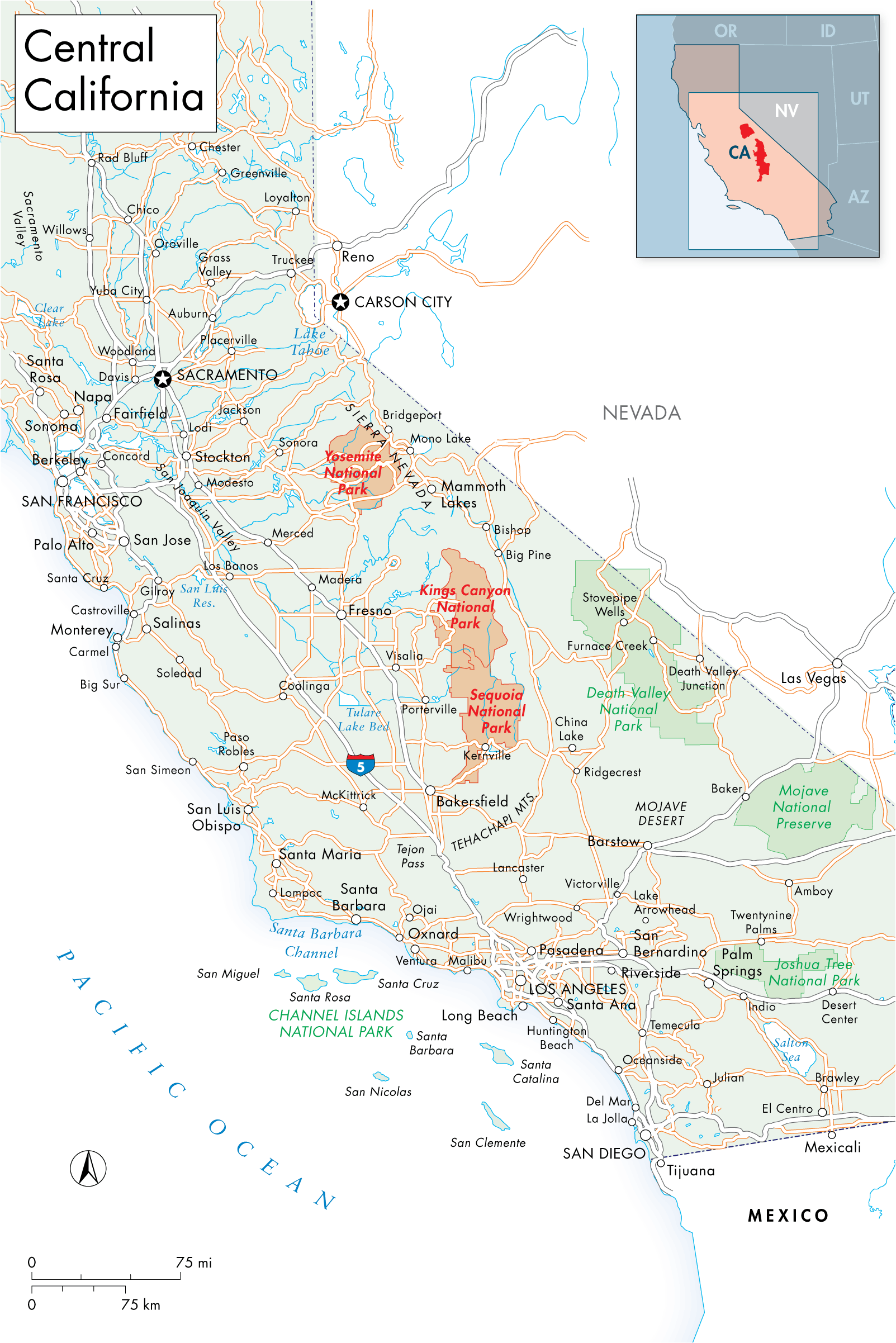
The 748,000-acre park is north of Sequoia and Kings Canyon National Parks and south of Lake Tahoe. Traffic arriving from San Francisco (four hours or 195 mi away), Los Angeles (six hours or 313 mi away), and other points west and south funnels in on three busy two-lane highways; from the east, only Highway 120 crosses the Sierra into the park, but its closed late fall through spring.
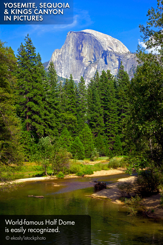
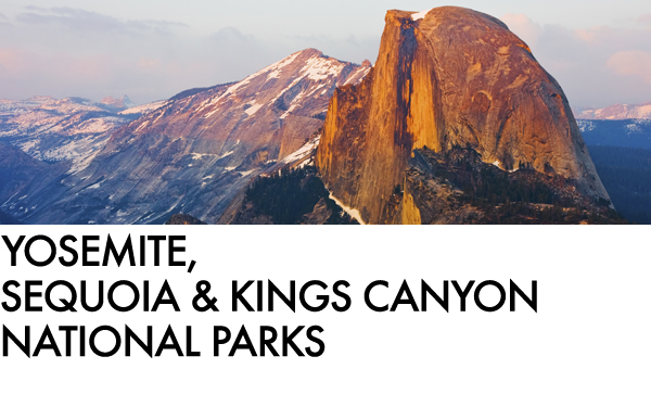
Known for: The soaring granite monliths of Half Dome and El Capitan, and shimmering waterfalls.
Biggest crowds: June through September
Accessibility: Dozens of famed features lie along paved roads. A free (accessible) shuttle on the valleys flat floor links attractions and services.
Why kids like it: There are great ranger programs and campfires in the summer, and ice-skating in the winter.
What hikers say: With 800 mi of trails before you, leave the crowds behind and head for the high country trails around Tuolumne Meadows and along Tioga Road.
BEST FOR
Grinning and "Bearing" It: American black bears are the only bruins left in Yosemite (the California grizzly was hunted to extinction in the early 20th century). Today, the park is home to between 300 and 500 black bears; most are brown. If a bear threatens you, make noise and look big.
Inspiration: Ansel Adams repeated visits to Yosemite provided him with the intimate understanding necessary to pre-visualize many of the famous images he captured here. His exposures of Half Dome are particularly noteworthy, and are among his best-known works.
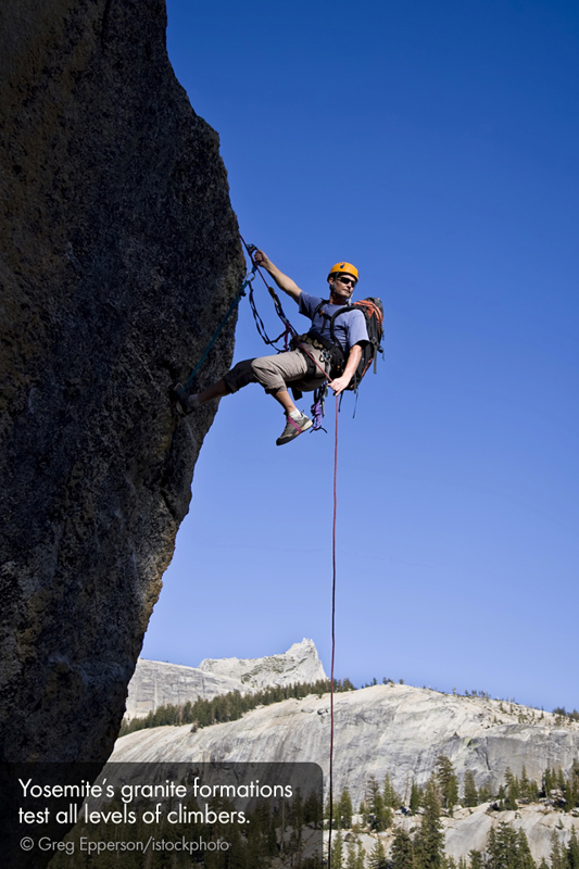
Pitching a tent: Beyond the Yosemite Valley and iconic sites like Half Dome, this park has a huge, almost secret backcountry perfect for backpackers and horseback riders wishing to embark on extended trips. In fact, 94.5 percent of the park is undeveloped wilderness. If you choose instead one of the developed campgrounds, book earlyat least three months in advance.
SEQUOIA AND KINGS CANYON NATIONAL PARKS
Location: Central California
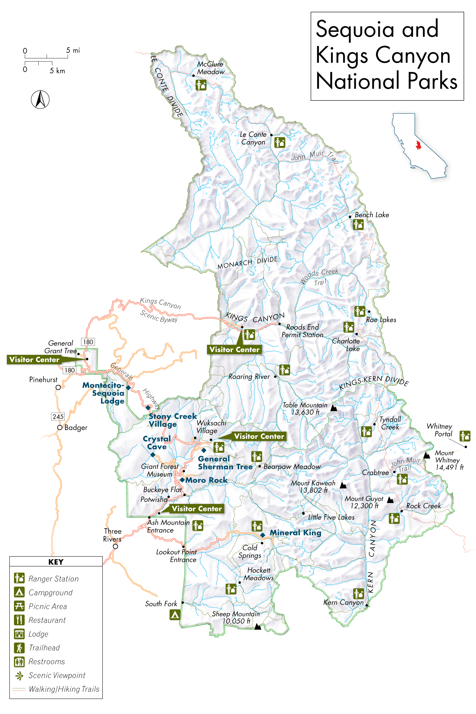
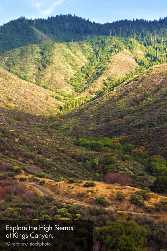
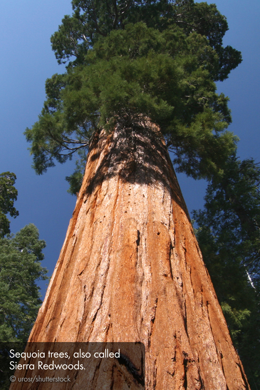
Sequoia and Kings Canyon are perched on the western face of the southern Sierra Nevada, where ancient evergreens tower above the jagged mountain slopes. South of Yosemite and east of Death Valley, these two parks are administered as one. Together, they cover about 865,000 acres; theyre about a five-hour drive from either Los Angeles (210 mi) or San Francisco (267 mi).
Known for: Groves of giant sequoias and Kings River Canyon.
Biggest crowds: Summer (especially weekends)
Accessibility: By road you can reach one-fifth of the park, including the General Sherman Tree and Grant Grove.
Why kids like it: Look, Mom, a treehouse! They can run around really big trees still standing, and barrel through hollowed out ones, such as Fallen Monarch in Grant Grove.
What hikers say: The park has more than 800 mi of trails, including stunning and secluded backcountry trails that meander into the hills from the floor of Kings River Canyon.
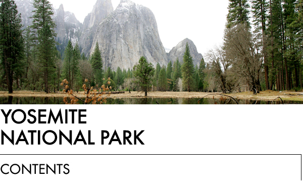

WELCOME TO YOSEMITE
By Reed Parsell
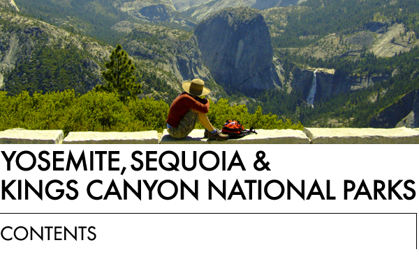
By merely standing in Yosemite Valley and turning in a circle, youcan see more natural wonders in a minute than you could in a full day pretty muchanywhere else. Half Dome, Yosemite Falls, El Capitan, Bridalveil Fall, the meadows,Sentinel Dome, the Merced River, white-flowering dogwood trees, maybe even bears rippinginto the bark of fallen trees or sticking their snouts into beehivesits all in theValley.
In the mid-1800s, when tourists were arriving to the area, the Valleysspecial geologic qualities, and the giant sequoias of Mariposa Grove 30 mi to the south,so impressed a group of influential Californians that they persuaded President AbrahamLincoln to grant those two areas to the state for protection. On Oct. 1, 1890thankslargely to lobbying efforts by naturalist John Muir and Robert Underwood Johnson, theeditor of Century Magazine Congress set aside 1,500square mi for Yosemite National Park.
TOP REASONS TO GO
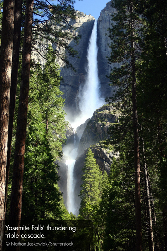
Feel the earth move: An easy strollbrings you to the base of Yosemite Falls, Americas highest, where thunderingspringtime waters shake the ground.
Tunnel to heaven: Winding down intoYosemite Valley, Wawona Road passes through a mountainside and emerges before one ofthe parks most heart-stopping vistas.
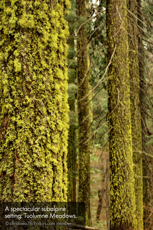
Touch the sky: Watch clouds scuddingacross the bright blue dome that arches above the High Sierras Tuolumne Meadows, awide-open alpine valley ringed by 10,000-foot granite peaks.
Walk away from it all: Early or latein the day, leave the crowds behind and take a forest hike on a few of Yosemites800 mi of trails.
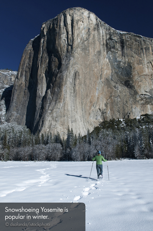
Powder your nose: Winters hushfloats into Yosemite on snowflakes. Wade into a fluffy drift, lift your face to thesky, and listen to the trees.
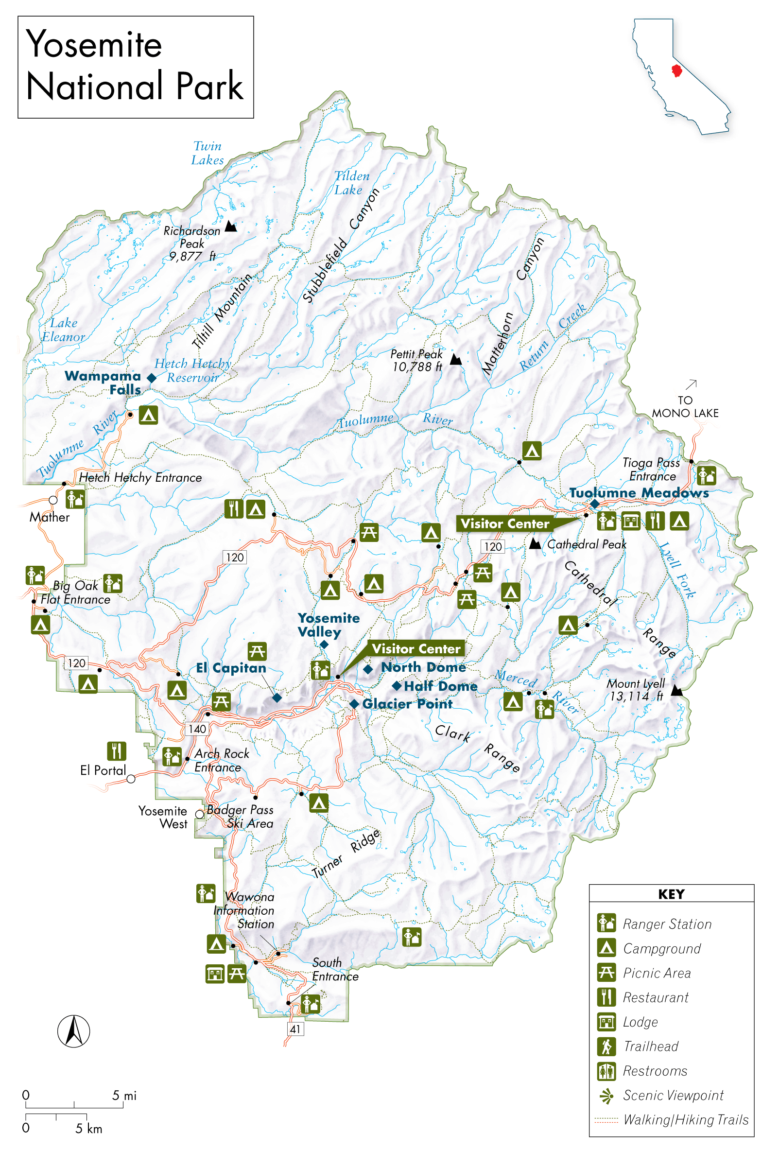
GETTING ORIENTED
Yosemite is so large that you can think of it as five parks. YosemiteValley, famous for waterfalls and cliffs, and Wawona, where the giant sequoiasstand, are open all year. Hetch Hetchy, home of less-used backcountry trails, closesafter the first big snow and reopens in May or June. The subalpine high country,Tuolumne Meadows, is open for summer hiking and camping; in winter its accessibleonly via cross-country skis or snowshoes. Badger Pass Ski Area is open in winteronly. Most visitors spend their time along the parks southwestern border, betweenWawona and Big Oak Flat Entrance; a bit farther east in Yosemite Valley and BadgerPass Ski Area; and along the eastwest corridor of Tioga Road, which spans the parknorth of Yosemite Valley and bisects Tuolumne Meadows.


