Title Page
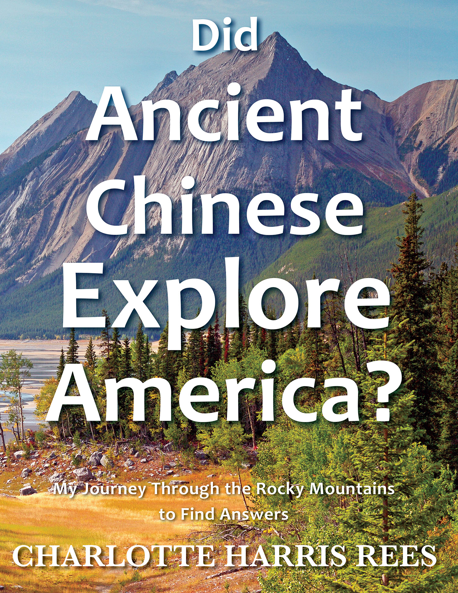
Did Ancient
Chinese Explore
America?
My Journey Through the Rocky Mountains to Find Answers
Charlotte Harris Rees

Copyright
Copyright 2013 by Charlotte Harris Rees
Did Ancient Chinese Explore America?
My Journey Through the Rocky Mountains to Find Answers
www.asiaticfathers.com
HarrisMaps@msn.com
Published 2013 by Torchflame Books
www.lightmessages.com
Durham, NC 27713
Printed in the United States of America
ISBN Paperback: 978-1-61153-080-3
ISBN Ebook 978-1-61153-081-0
Also by Charlotte Harris Rees:
Secret Maps of the Ancient World (2008, 2009)
Chinese Sailed to America Before Columbus: More Secrets from the
Dr. Hendon M. Harris, Jr. Map Collection (2011)
Editor: The Asiatic Fathers of America (2006)
ALL RIGHTS RESERVED
No part of this publication may be reproduced, stored in a retrieval system, or transmitted in any form or by any means, electronic, mechanical, photocopying, recording, scanning, or otherwise, except as permitted under Section 107 or 108 of the 1976 International Copyright Act, without the prior written permission except in brief quotations embodied in critical articles and reviews.
Dedication
This book is dedicated to my husband, Dave Rees,
and to my brother, Hendon Harris, III.
They were both wonderful companions during my adventure of following the Shan Hai Jing Rocky Mountain journey.
I could not have completed the trip without them.
Dave took most of the photos for this book and drew several of the enclosed maps.
Preface
Secrets arise when information is withheld or clues are ignored.
Yet, for many years I, myself, ignored proofs about Americas history. Some of these secrets are in strange old Asian maps, in ancient Chinese texts, in the DNA of Native Americans, and in the very mountains and boulders of North America.
This book is a result of my quest to uncover those secrets. It is a travelogue of a trip I undertook to confirm a rumored 1100 mile ancient Chinese journey along what is now known as the eastern slope of the US Rocky Mountains.
Our trip was completed in the fall of 2012. My husband, Dave, and I had two weeks of exciting new discoveries in and among the golden aspen and beautiful fall foliage of the rugged Rockies. What the ancient Chinese text from 4000 years ago said that we would see was validated. Multiple factors show that Chinese were there. Repeated occurrences of previously carbon dated yet unexplained (until now) objects along the route firmly establish the time period.
Ten years earlier I would have never dreamed of taking that journey to the Rockies with research as my motive. I was drawn (somewhat reluctantly) into this quest by a force larger than myself.
In 1972, my father, Dr. Hendon Harris, Jr., a third generation Baptist missionary, found in an antique shop in Korea an ancient Asian world map. Chinese writings indicated that they had explored a beautiful continent to their east during their first dynasty (around 2000 BC). On that map father recognized Fu Sang as America.
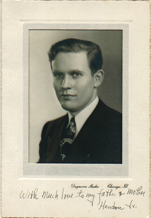
Dr. Hendon M. Harris, Jr.
After his find, Father located a few other similar maps in famous museums and collections around the world. However, at that time most regarded China, Japan, and Korea on the maps as real, but the majority of the rest of the locations as imaginary.
After much research, in 1973 Father published a book of almost 800 pages titled The Asiatic Fathers of America two books in one volume: The Chinese Discovery and Colonization of Ancient America and The Asiatic Kingdoms of America. One of the sources he quoted was Pale Ink published in 1953 by Chicago attorney, Henriette Mertz. Even without knowledge of maps like Father possessed, she cited numerous other proofs that early Chinese reached America.
Both my father and Mertz (who never met) based their theories on a revered text, the Shan Hai Jing (Classic of Mountains and Seas), quoted down through Chinese history . However, for many years I was a skeptic of those theories. It was not anything personal against my father, it was just that the idea seemed farfetched and I was too busy with my own life to be bothered.
Father died suddenly of a stroke in January 1981. His offspring, the seven of us siblings, divided his few belongings but decided to keep his maps as a unit just in case he was correct in his analysis. For years the maps were forgotten documents in a box under my brothers bed.
In early 2003 my husband and I had just retired with plans to travel and to take life easy when I read a book which caused me to wonder whether my father could have been right. I called my brother, Hendon, III. Shortly after that he, our spouses, and I took Fathers map collection to the Library of Congress where it stayed for three years while it was studied.
Meanwhile, I begged other family members to take up our fathers research about the maps. However, everyone else in the family was too busy, so the lot fell to me. Fortunately around the same time I also met professor emeritus Dr. Cyclone Covey, who has a PhD in history from Stanford University. Dr. Covey was familiar with the work of my father and that of Mertz. He had also studied the Shan Hai Jing for many years. Dr. Covey offered to mentor me should I decide to pick up my fathers research.
Ten years later I am still delving into this subject and Dr. Covey is still my mentor. In the interim I wrote an abridgment of my fathers book and now three other books. I have given presentations at many venues including the Library of Congress, the National Library of China, Stanford University, University of British Columbia, Royal Geographical Societies in London and Hong Kong, and in Switzerland, Malaysia, and across the US.
There are many academic studies that now support the thesis of early Chinese exploration in the Americas. They come from the fields of archeology, oceanography, geography and maps, biology, linguistics, art, music, and comparative religions. DNA has now linked exact Chinese and Native American families across the Pacific.
However, during my research a question continued to ring in my ears: Was Mertz right in contending that there were exact 4000 year old Chinese trails that one could follow in the Americas? If so, to me that was the ultimate adventure in this quest to walk the paths of ancient Chinese explorers.
Taking the Sh a n Hai Jing and modern topographical maps, Mertz drew sketches of four separate journeys that the Chinese covered in North America. She claimed that the descriptions fit nowhere else on earth. The Shan Hai Jing said: Go so far and you will see. In each location it specified minerals, animals, and how the rivers flowed.
Early in my venture into this research, I discussed Mertzs book and the Shan Hai Jing with Dr. John Hebert, Chief of Geography and Maps at the Library of Congress. He suggested that I concentrate on the animals, which I did. One after another the descriptions matched up to species native only to the Americas and in the correct habitats. I wondered: How could the Chinese know that unless they had been there?
However, my busy speaking and writing schedule, plus the fact that I live more than half way across the North American continent from the closest of the four journeys that Mertz charted, kept me from visiting them.

