ACKNOWLEDGMENTS
The historical images published herein have come, with great courtesy, from institutional and personal archives. We have enjoyed collaborating with archivists who show passion in making local history accessible. The captions identify contributors by name or by institutional acronym:
| CCA | Cuyahoga County Archives |
| CMNH | Cleveland Museum of Natural History |
| CPL | Cleveland Public Library, Photograph Collection |
| CSU | Cleveland State University, the Cleveland Press Archives |
| EHS | Euclid Historical Society |
| HCGL | Historical Collections of the Great Lakes, Bowling Green University |
| MTHS | Mayfield Township Historical Society |
| JEHC | Jesse Earl Hyde Collection, Case Western Reserve University |
| NARA | National Archives and Records Administration |
| NHS | Nottingham Historical Society |
| RFPA | Richard Fleischman Partners Architects Inc. |
| RMC | Rose-Mary, the Johanna Grasselli Rehabilitation and Education Center |
| SEHS | South Euclid Historical Society |
| SMHT | Sisters of the Most Holy Trinity |
| SMSJ | Sisters of Mount St. Joseph of St. Mark |
| UHA | University Hospitals Archives |
| USC | Ursuline Sisters of Cleveland archives |
| WRHS | Western Reserve Historical Society |
For technical support, we thank the Cuyahoga County Planning Commission, the Cuyahoga Soil and Water Conservation District, and the Euclid Historical Society. Finally, we have thrived on the patience, support, and outright tolerance of our loved ones (Patrice, Deb, and Priscilla) and on the enthusiasm of the Friends of Euclid Creek.
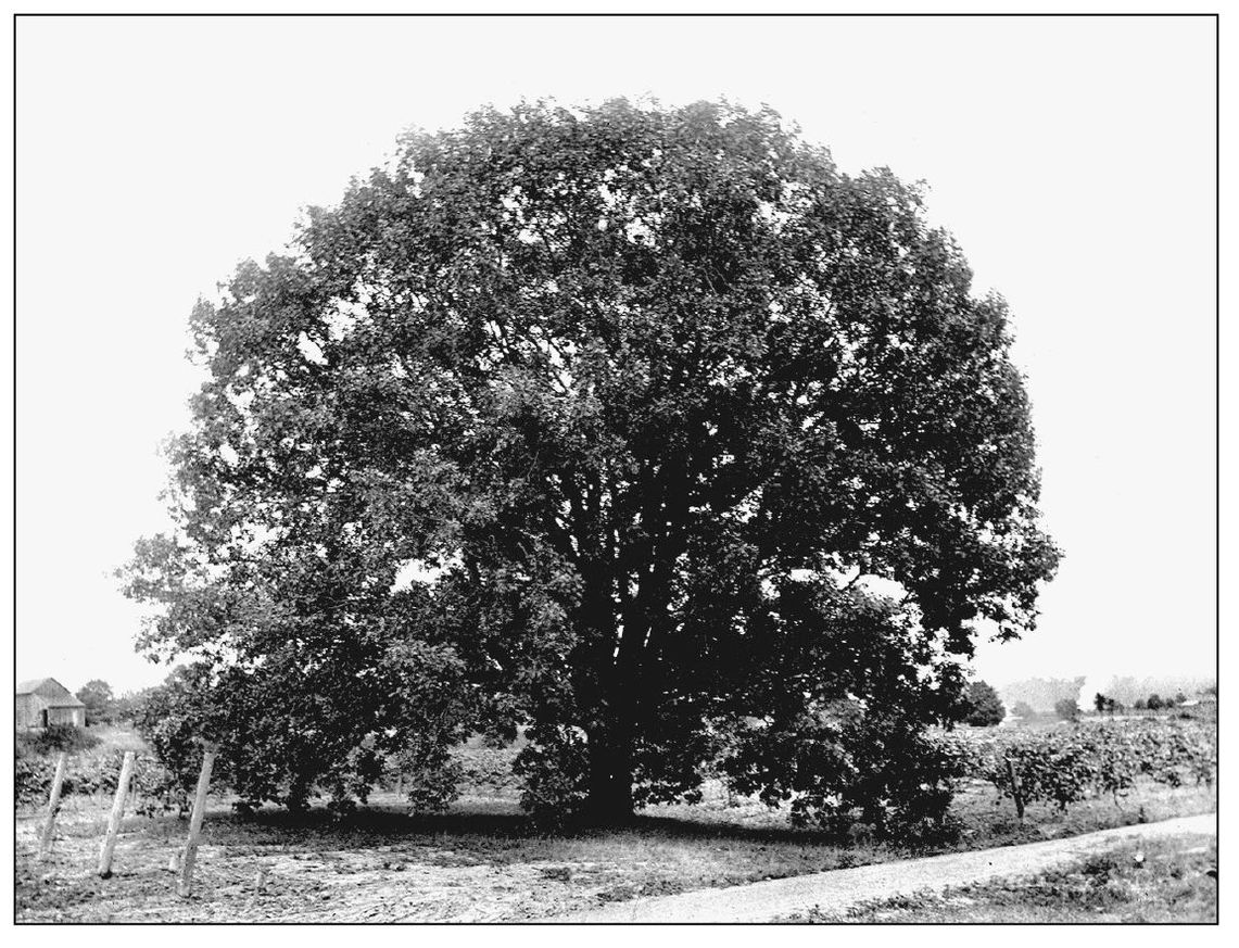
VOORHEES OAK. In 1804, Abraham Voorhees settled 200 acres straddling Euclid Creek near the current Nottingham Filtration Plant. Looking northwest on July 20, 1899, the land gently descends toward Lake Erie. The oak, shown here to honor the strength of our local history archives, had grown in a cleared area, never to be pruned or foraged. Vineyard row-end stakes are visible on either side of the tree. (EHS.)
BIBLIOGRAPHY
A Pictorial History of the City of Mayfield Heights . City of Mayfield Heights, 1997.
Johnson, Crisfield. History of Cuyahoga County, Ohio . Euclid Township: D. W. Ensign & Company, 1879.
Keidel, Helen, ed. Golden Anniversary, Richmond Heights Ohio, 1917 1. Richmond Heights Kiwanis Club, 1967.
Lake, David J. Atlas of Cuyahoga County, Ohio . Euclid Township, 1874. http://www.clevelandmemory. org/ebooks/.
Larick, Roy, and Craig Semsel. Euclid Township, 17961801: Protest in the Western Reserve . Western Reserve Historical Society publication.
Lyndhurst: A Pictorial History . City of Lyndhurst, 1994.
Morris, Jeffrey. Beechwood: The Book . 1997.
Schuemann, Nancy L. On the Threshold of a New Century: The City of South Euclid, 1967 1. City of South Euclid, 1999.
Telshaw, Helen, ed. History of Highland Heights . City of Highland Heights, 1976.
Urban, Mrs. George J., ed. The Proud Heritage of South Euclid, Ohio (Golden Jubilee, 1917 1 967) . City of South Euclid, 1967.
Williams, John. A History of the City of Euclid . Euclid Historical Society, 2003.
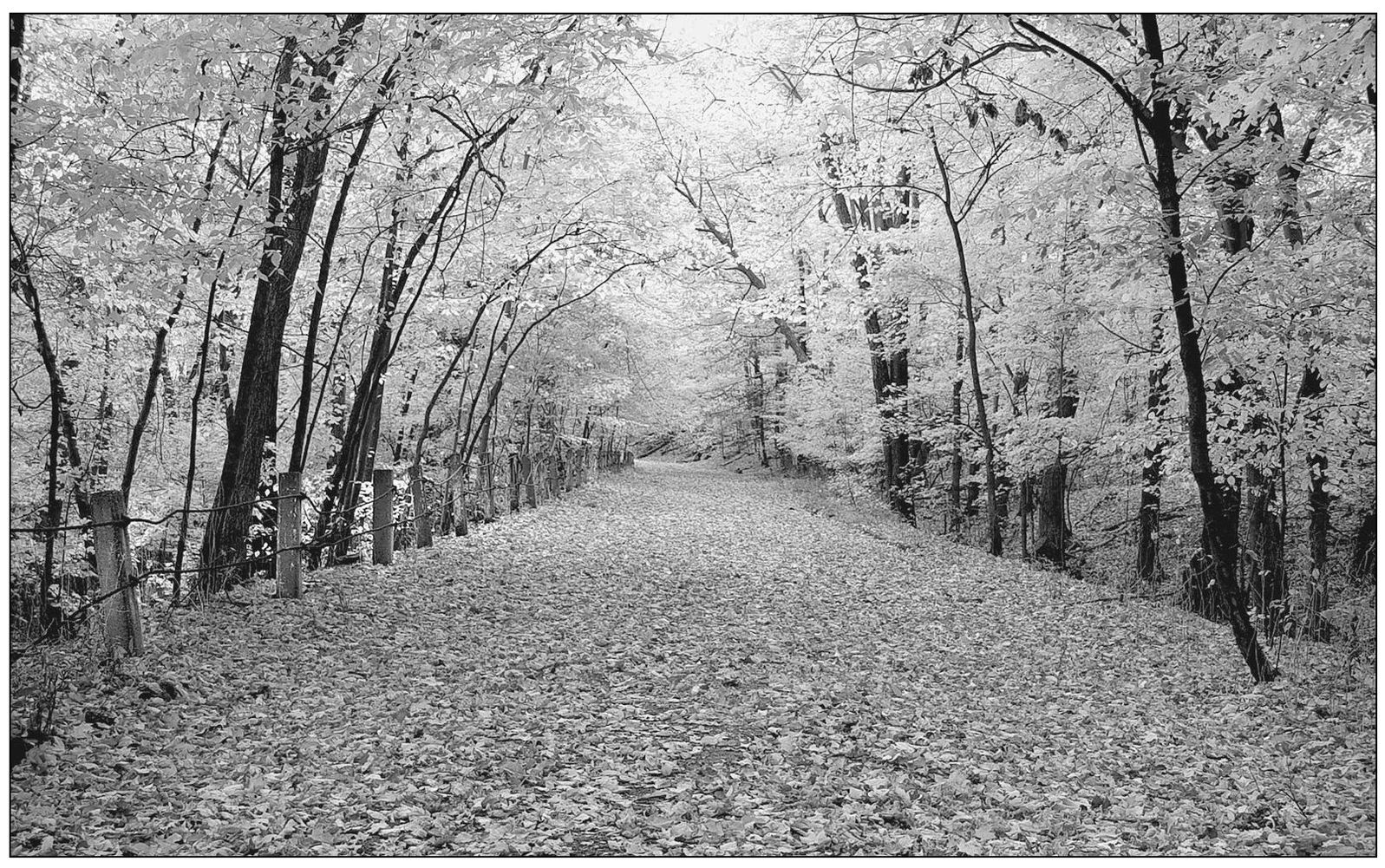
OLD HIGHLAND. This section of Highland Road is part of the prehistoric Native American trail that mounts Euclid Creeks center branch. The road was abandoned in 1965 with the construction of new Highland. Monica E. Daugherty captured this image to win a prize in the Friends of Euclid Creek 2004 watershed photography contest.
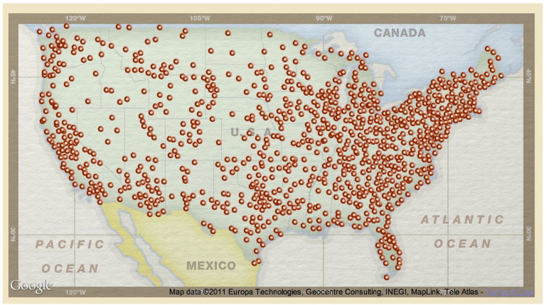
Find more books like this at
www.imagesofamerica.com
Search for your hometown history, your old stomping grounds, and even your favorite sports team.
One
NATURAL SETTING
The sandstone and shale layers underlying the Heightsthe layers visible in the Euclid Creek gorgesrepresent the Paleozoic era, which came well before dinosaurs roamed the earth. Vertebrates were already the highest life form, but all were primitive and confined to the seas. The Paleozoic seascape was inconceivably different from anything known on earth today. The Euclid Creek bedrocks were laid down 350 to 400 million years ago in a shallow tropical sea. At that time, northeastern North America and northern Europe were joined via the British Isles, and this entire landmass lay near the equator. The local sea resembled the present Gulf of Mexico, but much larger and warmer and teeming with primitive fish.
At any moment, the water might have been somewhat turbid, the result of warm heavy rains washing fine mud down large rivers. The sediment built up over the millennia to become the shale so prominent in Euclid Creeks cliff faces. However, the rivers occasionally flushed out sand, which settled out to become sandstone beds. Two such beds lie under the Heights, one high and one low. Mid-19th-century geologists and quarrymen named the lower bed Euclid bluestone. The upper bed, with its more prominent outcrops on Clevelands southwest side, was called Berea sandstone.
As the present continents took shape, all the old rocks were slowly pushed up from the sea. Our region came to lie on the western flanks of the grand Appalachian Plateau. The Appalachian Mountains were much higher then; they resembled the current Rocky Mountains. As in the current Rockies, uplift brings erosion. Heavy tropical rains and stream flows took massive amounts of earth out to the Atlantic Ocean. Euclid Creek did not yet exist.
By about 3 million years ago, a large east-flowing river had carved out the current Erie basin and the rest of the Great Lakes watershed. This Erigan River had a number of large lateral tributaries, including the lower course of the Cuyahoga. The confluence of the two ancient rivers was situated well out in current Lake Erie. The general relationship can be seen in the curve of Lake Eries south shoreline. Euclid Creek still did not exist.
By 1.6 million years ago, the Great Lakes basin received the first of numerous ice advances. Each advance brought a thin veneer of glacial till, the yellow-brown clay that is difficult to garden and sticks to our feet when wet. Each advance spread till over the old rocks only to be washed away by the floods coming with glacial retreats. Beginning about 20,000 years ago, the last advance brought the till we walk on today. By about 14,000 years ago, the last retreating ice spawned Euclid Creek. Quickly this stream pierced the sandstones and shale from the Heights to Lake Erie. Today we love the gorges and waterfalls that reflect a brief moment in a long natural history.

