ACKNOWLEDGMENTS
Since I first purchased property on The Sea Ranch in 1976, I have wondered and mused about the daily lives of the early settlers on this windswept remote coast. I have carried mapssome hand-drawn, others unrecorded and obscureas I have explored the landscape for remnants of early buildings and artifacts. Research materials were scarce, and the best sources were old-timers and their descendants. Fortunately, I had the foresight to audio tape dozens of their interviews. Much of the material comes from three decades of interviews as well as searching in the landscape, collecting old photographs, and documenting what traces remain.
Many of my sources are now gone, and my collection contains some of the only photographs and primary records still in existence. I am grateful to Tom Cochrane who helped me select the information and the photographs to include in this book. This is an attempt to share and preserve some of this data. I hope it will give readers a sense of the past and a connection to the land that otherwise might not be noticed or appreciated.
Individuals with intimate knowledge of the coast and others who have had a passion for history have shared their personal experiences and photographs with me. Some like Harold Christensen, Bus Richardson, Bernard Parks, Alice Fiscus, Ed Ohlson, and Richard Tooker have passed on. Others like Janann Strand, Pat (Ohlson) Ashurst, and the Richardson family still share my passion for the history of The Sea Ranch and continue to contribute to coastal history.
Many of the photographs and maps come from my personal collections. Photographer Bob Lee shared several of his images of the early history of the coast. The Richardson family generously provided many of the images in chapters three and four. Seth Adams, historian of Walter Fricks activities in the Mount Diablo area, gave me the wonderful gift of professionally scanned images from the Frick family photo albums. The Ohlson family photographs in chapter seven were provided by the Ohlson family. Original photographs of the World War II military camp were given to me many years ago by Roy Disotelle. I wish to express my gratitude to each of these people.
Find more books like this at
www.imagesofamerica.com
Search for your hometown history, your old
stomping grounds, and even your favorite sports team.
One
NINETEENTH-CENTURY CATTLE RANCH 18451904
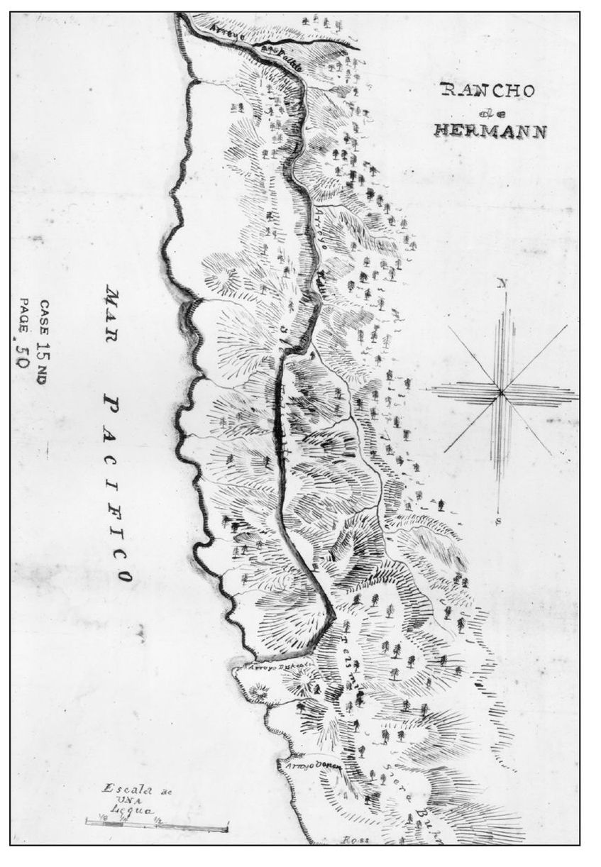
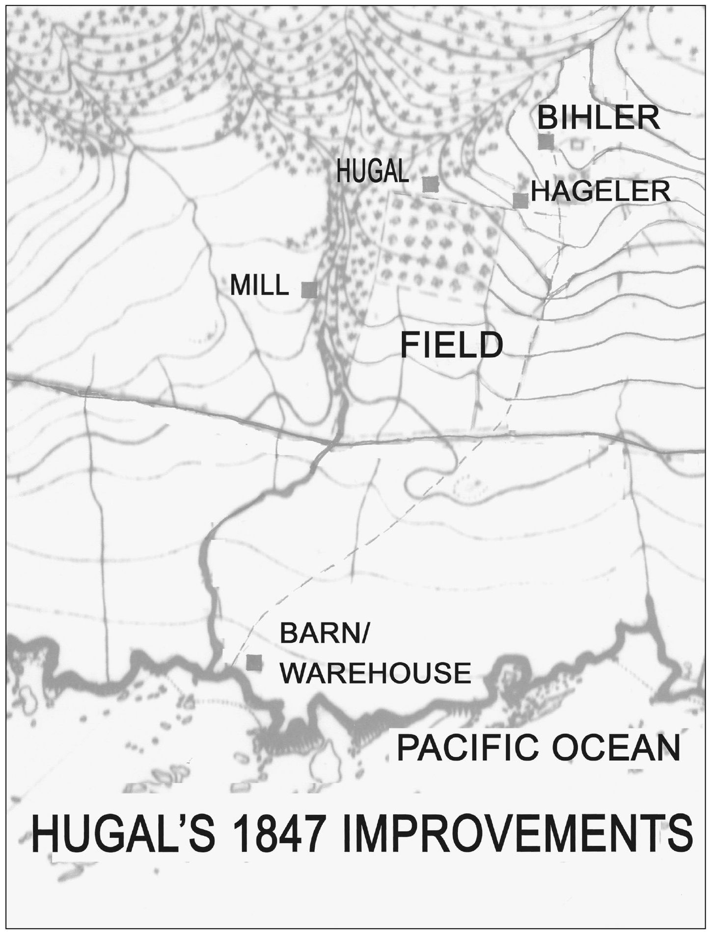
The diseo was an 1845 sketch map of the coastal land that was bound by the Gualala River on the north and east and extended southward to include five Spanish leagues. The southern boundary, which was later contested, was identified as Arroyo Dichcalha. William Benitz of Fort Ross drew the diseo from memory after he and fellow German immigrant Ernest Rufus visited the property. Rufus submitted the map to Gov. Pio Pico as part of his application for the German Rancho. His request to Pio Pico stated that he owned a considerable amount of stock, cattle, and horses and needed a tract of land to build a house and keep his livestock. Rufus received a provisional grant in 1845, which was finalized in April 1846 after he reported that he had made improvements on the property. The improvements were made by German immigrant Frederick Hugal, who built a house, warehouse, and gristmill and planted an orchard. The 1860 official survey of the German Rancho determined that the southern boundary was just north of todays Ocean Cove.
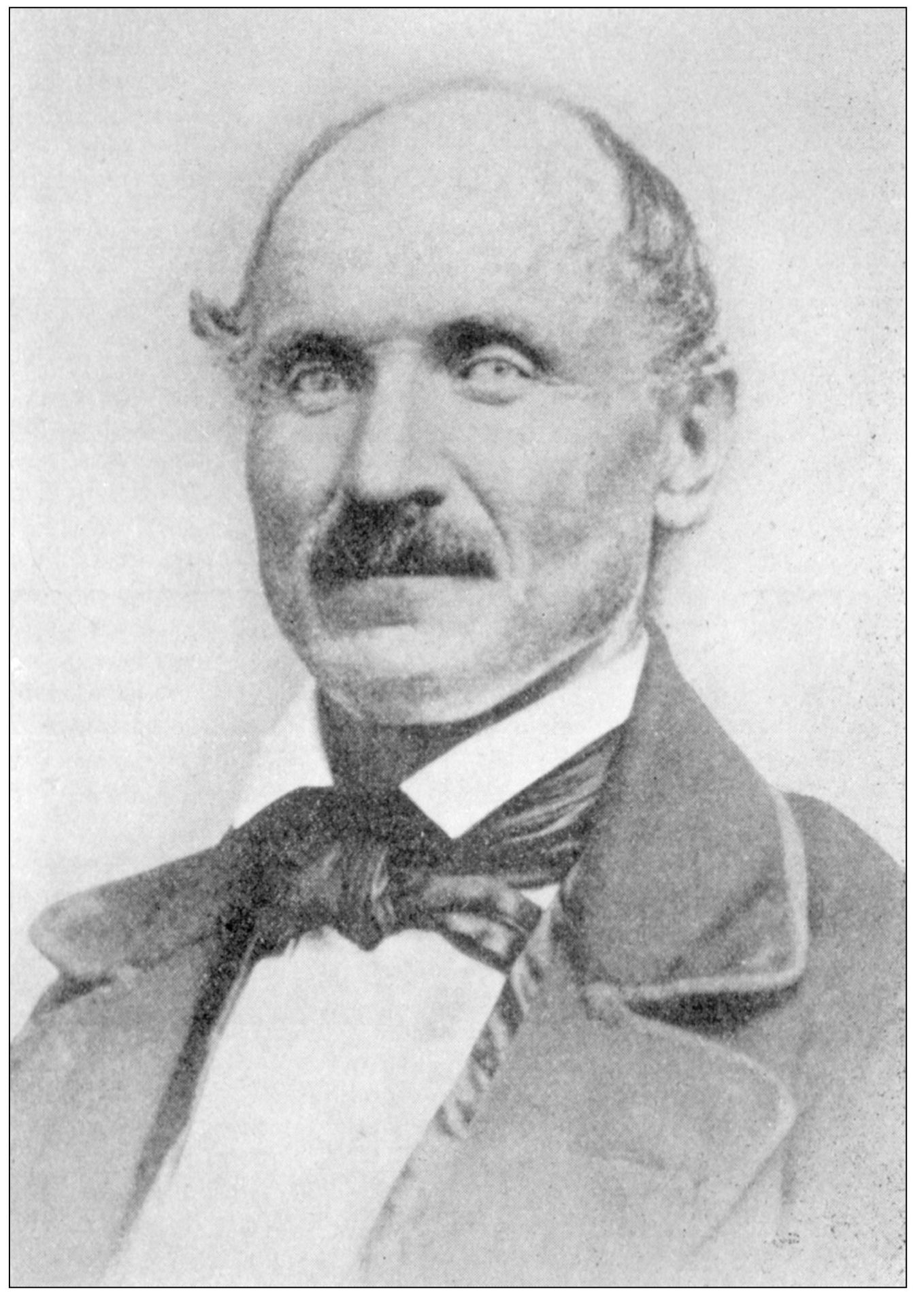
Ernest Rufus arrived in California from Germany in 1838. He earned Mexican citizenship in 1844 for his military service of training Native American soldiers at Sutters Fort. As a naturalized citizen, he was eligible to apply for a land grant from the government. Rufus was visiting with William Benitz at Fort Ross in early 1845 when the two decided to apply for a five Spanish league tract of land just to the north of Ross. They intended that they would occupy the Ross lands and the property to the north, which they could operate as one large cattle ranch. They agreed that Benitz would draw the required diseo and Rufus would take it first to the Alcalde in Sonoma for a provisional grant and then the following year to Los Angeles and submit it as part of his request for the grant to be finalized. Their partnership fell apart when Rufus took title to the land in his name only and, without Benitzs knowledge, sold off sections of the property to fellow Germans Frederick Hugal and Henry Hageler.
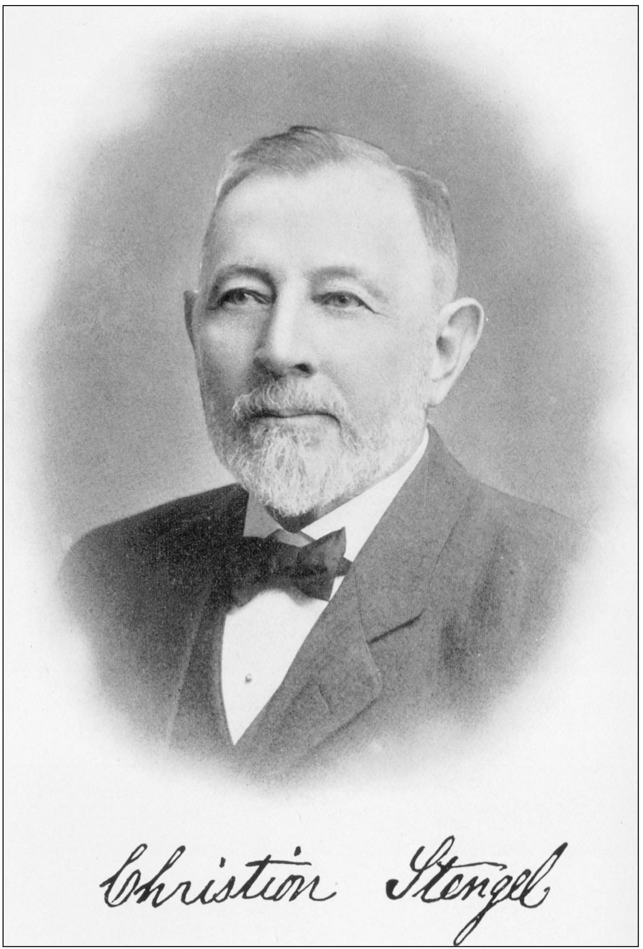
By 1857, the northern 4,819 acres of the German Rancho were in the hands of William Bihler, a German immigrant who came to California from Baltimore in 1849. Bihler built a house on the same hill where Hugal built his cabin in 1845. At about the same time, Bihler also acquired a large tract on the Huichica Rancho where he resided the rest of his life. To oversee his ranches, Bihler sent to Baltimore for four of his nephews: 21-year-old Adam Knipp, 19-year-old Jacob Stengel, 17-year-old Christian Stengel, and 17-year-old Jacob Grengnagel. The two Jacobs were assigned to Bihlers Huichica property and Chris Stengel and Adam Knipp to the German Rancho. By 1861, Knipp and Stengel were raising cattle, donkeys, horses, and hogs. Over the next 40 years, Knipp and Stengel gradually acquired Bihlers 4,819 acres, which they developed into a large stock-raising ranch that provided a ton of beef each week to the Gualala Mill. Neither man ever married or had a family, so in 1903, when they retired, the entire property was sold to William and George Bender, who transferred it to the Bender Mill and Lumber Company the following year.
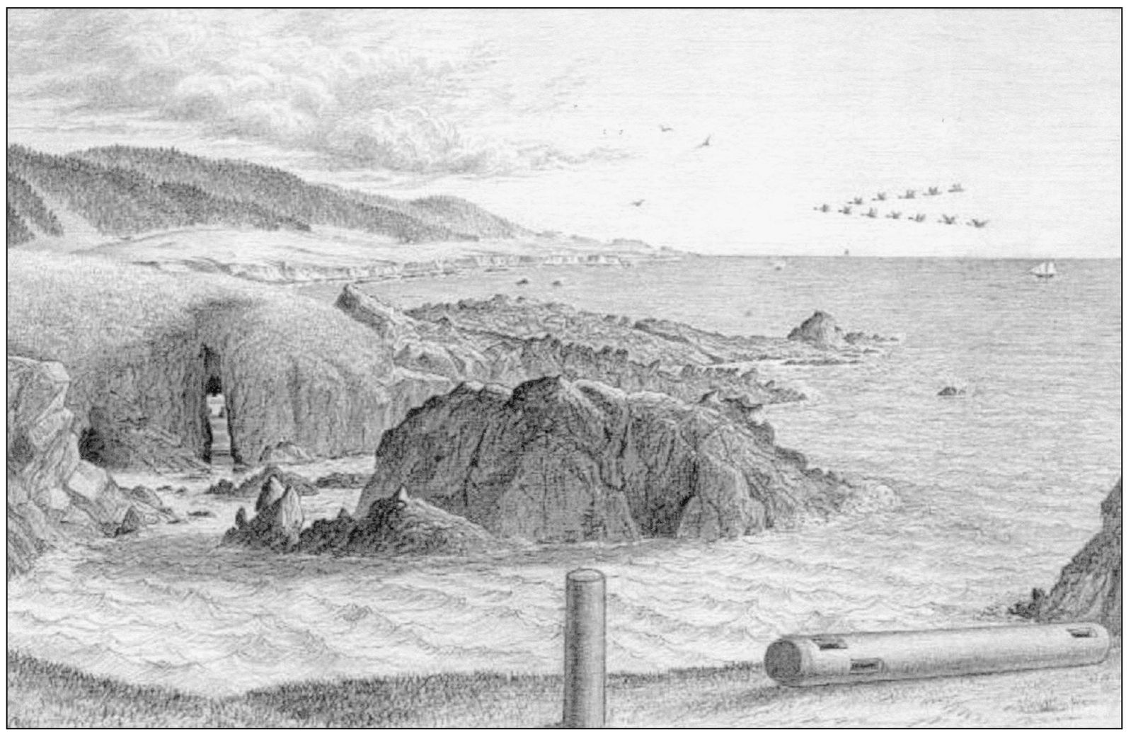
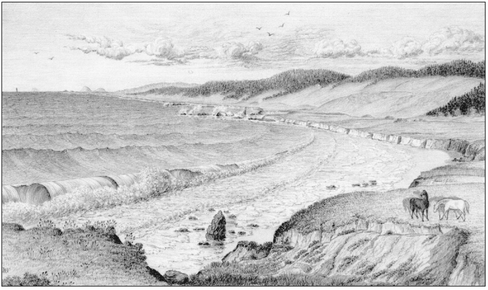
Theses sketches, drawn about 1880 by Charles W. Nystrom, are the earliest known images of Sea Ranch. Born in New Jersey in 1830, Charles W. Nystrom was attracted to California in 1852 by the stories of the Gold Rush. By the 1880s, he was in the lumber industry in northern Sonoma and Mendocino Counties. The 1880 census lists him as a 50-year-old unmarried bookkeeper for a logging company. He was living with nine other men, eight of whom were Chinese laborers. Eight of his pencil drawings are in the Bancroft Library in Berkeley. On the above sketch, Nystrom drew the coastline stretching southward from Black Point. The exact location of the sketch is easily identifiable today. The sketch below shows horses grazing on the bluff and the coastline from Black Point to Gualala. Nystrom died in October 1882 and is buried at Stewarts Point.

