CITY WALKS:
CHICAGO
50 Adventures on Foot
By Christina Henry de Tessan

CHICAGO IN BRIEF
Chicago rose to prominence thanks to its pivotal position as a link between the prosperous, well-established East and the vast frontier out West. When the Erie Canal opened in 1825, it brought the promise of increased commerce. Later, Chicago became the countrys biggest railway hub. Fortunes were made in railroads, steel, livestock, and grain, money that fueled the citys growth into a major urban center. Immigrants came from around the world to work in the mills and stockyards, contributing to the citys tremendous diversity. The Great Fire struck on October 8, 1871, blazing across some 2,100 acres and leaving much of the city in ruins. But the opportunity to rebuild drew architects from far and wide, and the city rose againhigher, bigger, and more impressive than ever. In 1893, Chicago celebrated its recovery by hosting the Columbian World Exposition. The fair served as a coming out party for the city. No longer a rough, grim wetland, Chicago proclaimed its status as a major American metropolis.
Today, Chicago remains a metropolis of tremendous energy and vitality. Its architecture awes locals and tourists alike. Its cultural institutions draw visitors from across the globe. Its public sculpture collection is second to none. Its 29 miles of shoreline are all accessible to the public, transforming the waterfront into a huge playground. One of the hardest things about visiting this city, in fact, is choosing among the wide-ranging options on offer. Walking is one of the best ways to immerse yourself in Chicago. Savoring its streets at a leisurely pace makes this behemoth much less overwhelming and, in fact, quite accessible.
GETTING AROUND CHICAGO
Chicago is a vast city that stretches over 228 square miles. Close to 3 million people reside in 77 neighborhoods. Despite its size, Chicago is quite easy to navigate, and the buses, El (short for elevated train), and commuter trains all make it possible to explore without the hassle of a car.
Public transit is usually the easiest way to negotiate the different starting and end points of the walks in this deck. To obtain detailed information on bus routes, maps available for downloading, schedules, and visitor passes, visit www.transitchicago.com, or check out the bus maps located at bus shelters around the city. The standard fare is $1.75, and exact change is required. You may want to consider a one-, two-, three-, or five-day Visitor Pass ($518), available at both of the airports, Chicago Transit Authority stations, visitor centers, and major tourist attractions. Although buses are identified by both a number and a street name, they often veer from the street whose name identifies them. A bus map will provide complete details.
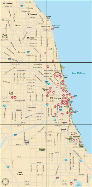
Many parts of Chicago are ideal for walking, as the city is quite flat and there is a tremendous range of attractions to suit almost any interest. The citys scale, however, does mean that points of interest can be quite far apart from one another. The master map on the back of this card is therefore a vital tool in helping you plan your walking itinerary. Chicago is divided into northern, southern, eastern, and western quadrants. The intersection of State and Madison streets is ground zero. The main business district is called the Loop, referring to the circle the El makes around the area; it is where many of the citys most famous skyscrapers are located. A continuous park runs along the entire length of the citys shoreline. With the exception of two walks in Oak Park, one in Evanston, and one in Wilmette, all walks take place within city limits. The walks begin at the center of the city, continuing north, then west, and then south.
Much of Chicago is safe during daylight hours, but certain areas are unsafe at night and others should be avoided altogether. Do not assume that stretches between walks are safe, and avoid strolling in parks alone or at night. When in doubt, err on the side of caution.
HOW TO USE THESE CARDS
Each of the 50 cards in this deck conveys the flavor of the Chicago neighborhood or area it covers. None of the walks should take more than an hour or two to complete. On the maps, one inch equals approximately 1,000 feet, so five inches is approximately one mile. The cards with white borders around the map side are longer walks, and use a different scale of one inch to 1,500 feet (3.5 inches to a mile). Many of the walks can be combined. Although some walks are loops, many begin and end in different places; the beginnings of all walks are denoted by stars on the maps. All the cards contain information about the buses or El train that stops near the beginning and ending points of each walk. Ask for a transfer if you plan to catch the bus at the end of the walk.
So select a few cards, stick them in your pocket, and be on your way. Happy walking!
Text 2007 Christina Henry de Tessan
Maps 2007 Bart Wright
All rights reserved. No part of this deck may
be reproduced in any form without written
permission from the publisher.
eISBN: 978-0-8118-7383-3

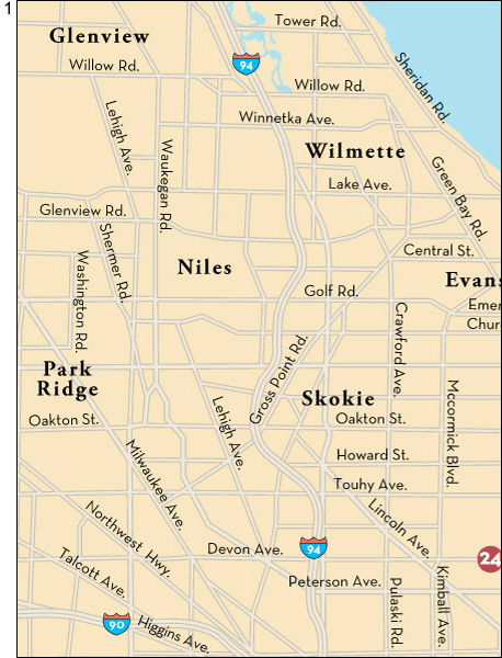
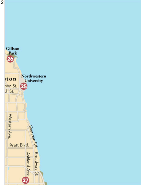
KEY TO CHICAGO WALKS MAP
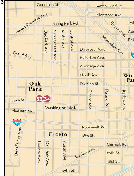
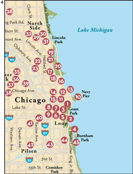
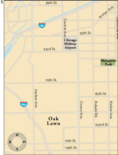
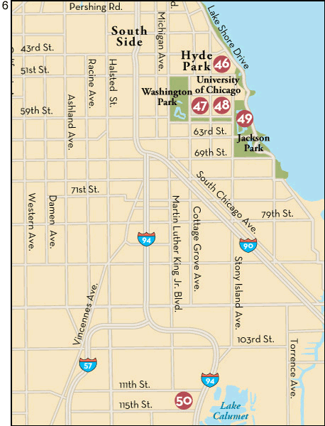
1
MILLENNIUM PARK
Although it wasnt quite ready for the millennium, this outstanding addition to the cityscape was worth the wait. Featuring modern sculptures, a Frank Gehrydesigned music pavilion, and a skating rink, Millennium Park is not to be missed.
Bus: 4, 60, 145, 147, 151. El: Randolph (Brown, Green, Orange lines).
Begin at N. Michigan Avenue and E. Randolph Drive. Enter the park from Michigan, stopping at the Wrigley Square Monument (1), a fountain and half-circle of columns representing the peristyle that was once located here. Continue south across the lawn. Ahead of you is the McCormick Tribune Plaza and Ice Rink, where crowds gather in the summer to dine on the outdoor terrace of the Park Grill Restaurant and in the winter months to skate. Turn left onto the pathway leading to the Chase Promenade, where youll come upon Anish Kapoors magnificent Cloud Gate sculpture (2), whose circular shape stands in fabulous contrast to the linear buildings behind it. Past the plaza, turn right and walk to the Crown Fountain (3), an interactive sculpture that displays a changing array of faces on its glass towers. Turn back toward the parks center. On your left, beyond the Great Lawn and underneath a steel trellis, youll see the fantastical


