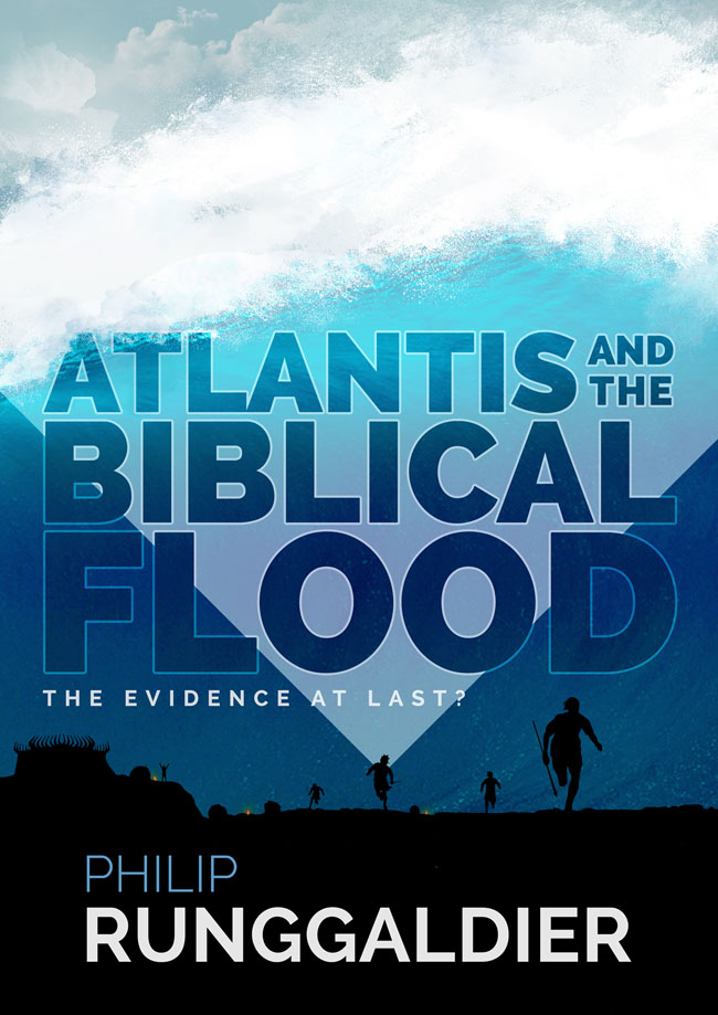
Atlantis and the
Biblical Flood:
The Evidence at Last?
Copyright 2015 Philip Runggaldier
The moral right of the author has been asserted.
Apart from any fair dealing for the purposes of research or private study, or criticism or review, as permitted under the Copyright, Designs and Patents Act 1988, this publication may only be reproduced, stored or transmitted, in any form or by any means, with the prior permission in writing of the publishers, or in the case of reprographic reproduction in accordance with the terms of licences issued by the Copyright Licensing Agency. Enquiries concerning reproduction outside those terms should be sent to the publishers.
Matador
9 Priory Business Park
Kibworth Beauchamp
Leicestershire LE8 0RX, UK
Tel: (+44) 116 279 2299
Fax: (+44) 116 279 2277
Email:
Web:www.troubador.co.uk/matador
eISBN 978 1784626 495
British Library Cataloguing in Publication Data.
A catalogue record for this book is available from the British Library.
Matador is an imprint of Troubador Publishing Ltd
Philip Runggaldier graduated from St Davids University, Lampeter, with a degree in geography. He also studied archaeology, history and folklore and this strange mix of subjects has given him a unique insight into one of the most enigmatic periods of prehistory and of the Welsh, Irish, Cornish and Breton people who lived at that time.
He is no scientist, just an ordinary guy who has a healthy interest in archaeology and Ice Age BritainIreland and a knack for problem solving. He believes that the further one looks back in time the greater the discoveries one will make.
Also by Philip Runggaldier
The Forgotten Atlantis?
Llyn Llion Theory.
On the glaciation and deglaciation of the Irish Sea, the formation of Llyn Llion, its catastrophic collapse and the forgotten greatness of the Welsh, Irish, Cornish and Breton people.
[Technical paper]
New Theories on Ancient Man(coming soon)
To those who saved what was destroyed,
and to my partner, Shirl.
Acknowledgements
The author wishes to express his thanks to the following without whose help this book would not have been possible:
Prof. David Tappin, Dr. Richard Hamblin, Mr Glenn Bacon and Mrs Nicole Baughan (British Geological Survey); Mr Archie Donovan (Geological Survey of Ireland); Prof. Chris Stringer and Prof. Adrian Lister (British Museum); staff at Adventure 001 (Helicopter Flights); staff of the British library and library staff in a number of Wiltshire, Gloucestershire and Kent libraries; Dr. Ruth Goodall, Mr Mike Windle, Mr and Mrs David Streater and my parents Mr and Mrs Konrad Runggaldier. With special thanks to my partner, Mrs Shirley Gerrish.
Contents
Foreword
Let any Welsh, Irish or Cornish person take the floor and, with great fervour and dauntless pride, recall the ancient tales of their noble forefathers: all that they do know.
Then give unto me the floor and let me tell the Welsh, Irish and Cornish people of their own tales: all that they do not know.
Then let us see who tells the greatest story.
The author
List of Illustrations
Copyright Philip Runggaldier 2015. Copyright in addition to Philip Runggaldier as stated in parentheses.
List of Tables
Prologue
It began so many years ago: a nagging question that just wouldnt go away. Everything about it was wrong. Nothing added up.
Your package has arrived, said Mark, my best friend.
His mum worked for WHSmith and was able to use her staff discount to order a book for me. It retailed at 85. I think I got it for around 60. Thats still a hell of a price to pay for a book! Its not something I would normally do, but then this was no ordinary book.
I popped round to his house and there it was, sat neatly upon the dining room table. It was a large atlas: one of the best produced at that time. It was incredibly detailed. It showed all the mountain ranges in clear precision. It even listed all the little villages in Africa and outlined the hills and mountains that lay beneath the sea.
Its hard to explain, but it was something I always wanted. Having studied both geography and archaeology at university, I had become fascinated with how various landscapes had evolved, with the forces that shaped them and how that land appeared in the distant past.
I opened the atlas and looked at the map of Britain and Ireland. I wanted to see if it showed all the little villages around Gloucestershire where I lived and all the places Id visited in Cornwall. Gloucestershire was where my job tied me down, but Cornwall was where my heart roamed free. Its rugged shores and pretty villages provided that escapism from the weariness of everyday life.
My eye soon turned away from these counties. It was drawn west, beyond the coast of Cornwall and the Isles of Scilly and south of Ireland. Here was an area of sea like no other. It was called the Celtic Sea: a small segment of the Atlantic Ocean that lies nestled between southwest Britain and southeast Ireland. There was something strange about this area. Within it lay a series of elongated sandbanks just beneath the ocean surface. Their alignment was unusual. Each one ran from northeast to southwest and they were very regularly spaced.
I dont know what possessed me to delve deeper. I guess its because Ive always been extremely curious and because I dont like unanswered questions. At the time it was proposed that these sandbanks had been formed by tidal action cutting into the ground and piling up the waste material. But this just didnt make any sense. Tidal action has been shown to wash away the topmost deposits on sandbanks, so its hard to see how it can pile up material to create these banks. Also the angle of the tides and their varying force could not have created such regular spaced sandbanks elongated northeast to southwest. I was convinced that the tides could not have formed these features, but if not, what had?
Their shape provided the first clue. They look like the hulls of upturned boats, rising up to 50m (165ft) above the surrounding shelf. It is a shape readily formed by water washing over a rise in the land. Throw three bucket loads of water along the ground at a 5-kilogram pile of sand and, provided enough force is used to inundate the sand pile, it will form a teardrop shape. Throw more bucket loads as before and it will elongate to look like an upturned boat, what some call a whaleback. The other clue came in the number and orientation of the surrounding banks. These suggested they were all formed at the same time by the same process: a process involving water that completely inundated the area. It looked like they had been created by a flood or tsunami. It was a hunch, but back then I had no idea of the discovery it would lead to.
Part 1
Finding the Key:
The Search for a Megadeluge
Chapter 1
It was a cold winters morning when I parked my car in Tescos car park and began to walk into Gloucester town centre. The snow still lingered here. White mounds lined the roadside, whilst dark slush still obscured the central road markings. The paths were icy and slippery, especially where the sun could not penetrate. A snowman still stood proudly in the grounds of the old cathedral ruins.
I remember it well. I lost my footing, slipped, fell and landed sprawled out across the pavement, much to the amusement of a nearby group of teenagers. To add insult to injury some old guy came over to enquire if I was alright and offered me use of his stick. Im fine, I grumbled as I clambered to my feet as the mocking laughter of teenagers rang in my ears.

