All rights reserved. No part of this book may be reproduced or transmitted in any form or by any means, electronic or mechanical including photocopying, recording or by any information storage and retrieval system, without permission from the publisher in writing.
Front and back cover images: by C.A. Petrie
In memory of Prof. Farid Khan (19342020)
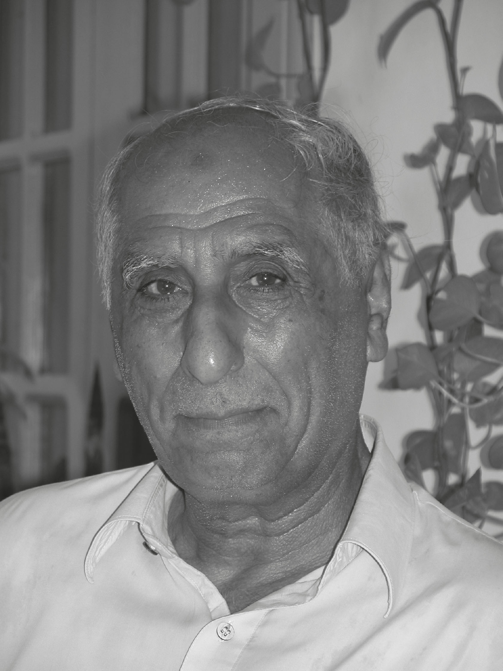
(Photo by Asko Parpola)
List of figures
Fig. i. The location of regions referred to in the text during the late first millennium BC
Fig. ii. The location of regions referred to in the text during the mid- to late first and early second millennia AD
Fig. 1.1. Topographic map showing the location of Khyber Pakhtunkhwa and the Bannu basin in the borderlands of South Asia
Fig. 1.2. Topographic map showing the distribution of major archaeological sites discussed in this volume.
Fig. 2.1. Topographic map showing geological formations and the location of known ancient settlements, including the site of Akra.
Fig. 2.2. Major communication routes used from the tenth to the fifteenth century AD
Fig. 2.3a. Section of the Survey of India 1 to 1-mile map from 1908, showing the area of the Bannu basin to the south of Bannu city and with villages and irrigation canals indicated
Fig. 2.3b. Close-up of the Survey of India 1 to 1-mile map from 1908 showing the location of the mounds at Akra, which are shown on the eastern side of the Baran nullah
Fig. 2.4. Google Earth image showing the main mounds of Akra and the course of the Lohra nullah
Fig. 2.5. Photo of the main mound in Area A at Akra, taken from Area B
Fig. 2.6. Lieutenant Taylors sketch of Akra
Fig. 2.7. Three overlapping photographs of Akra taken by Aurel Stein in 1905
Fig. 2.8. Distribution of historic period sites in the NW Bannu basin
Fig. 2.9. a. Google Earth image showing the temples and fortification wall at Kafirkot North; b. plan of the site
Fig. 2.10. a. Google Earth image showing the temples and fortification wall at Bilot; b. plan of the site
Fig. 2.11. Shiva Maheshvara image from Kafirkot North
Fig. 2.12. a. Ekamukhalinga; b. Varaha image
Fig. 3.1. Photographs of three objects of Central Asian origin collected from Akra: a. combination stamp cylinder seal; b. button/lentoid seal; and c. incised stepped-cross bead
Fig. 3.2. Map of the eastern parts of the Achaemenid Empire, showing the location of the various satrapies
Fig. 3.3. Depictions of representatives of the eastern provinces on the base of the statue of Darius
Fig. 3.4. Depictions of representatives of the eastern provinces on the Apadana staircases at Persepolis
Fig. 3.5. Depictions of representatives of the eastern provinces as throne-/dais-bearers on the door frames of the Tripylon and Hall of One Hundred Columns
Fig. 3.6. Route of Alexanders march through eastern Afghanistan and north-west South Asia
Fig. 3.7. Ceramic palette (cosmetic/toilet tray) from Akra depicting a Nereid riding a serpent.
Fig. 3.8. Stone palette (cosmetic/toilet tray) from Akra depicting a Nereid riding a serpent.
Fig. 3.9. Ceramic palette (cosmetic/toilet tray) from Akra depicting Diana and Actaeon
Fig. 3.10. Cameo of Herakles/Alexander from Akra
Fig. 3.11. Schist sculpture fragment depicting worshippers
Fig. 4.1. Trade routes of the tenth to fifteenth century AD
Fig. 5.1. Google Earth image showing the main mounds of Akra and the surrounding landscape, including the mounded areas to the west of the Lohra nullah that were mapped in 1996
Fig. 5.2. Plan showing the main mounds of Akra and the course of the Lohra nullah produced using a theodolite (199596)
Fig. 5.3. Plan showing the main mounds of Akra and the course of the Lohra nullah produced using a total station (1998)
Fig. 5.4. Digital terrain model of the Akra mounds looking north.
Fig. 5.5. Plan showing the mounds in Area B and indicating the location of the excavated trenches
Fig. 5.6. Plan showing the location of Trench 1 and Trench 3 on the Lohra mound
Fig. 5.7. Drawing of the south and west sections of Trench 1
Fig. 5.8. Photograph of the basal levels and overlying stratigraphy of Trench 1
Fig. 5.9. Plan of the river-stone and mud-brick architecture exposed in Trench 1 and Trench 3
Fig. 5.10. Photograph of the mud-lump foundations underlying one of the river-stone walls revealed in Trench 1
Fig. 5.11. Photograph of the two river-stone walls with mud-lump foundations revealed in Trench 1
Fig. 5.12. Drawing of the south section of Trench 3
Fig. 5.13. Photograph of the river-stone wall with mud-lump foundations revealed in Trench 3
Fig. 5.14. Photograph showing the relationship between the sounding and the river-stone wall with mud-lump foundations revealed in Trench 3
Fig. 5.15. Photograph of stratified floor deposits in the sounding in Trench 3
Fig. 5.16. Photograph of occupation surface and north section of Trench 2
Fig. 5.17. North, east, and south sections of Trench 2
Fig. 5.18. Plan of occupation surface with vessel with fan and false spout in situ in Trench 2
Fig. 5.19. Photograph of vessel with fan and false fan spout sitting on the floor surface in Trench 2
Fig. 5.20. Plan showing the location of the trenches on the Hussaini Boi Ziarat Dherai
Fig. 5.21. Drawing of the north and south sections of Trench 57 on the Hussaini Boi Ziarat Dherai
Fig. 5.22. Plan of the earliest structures exposed in Trench 57 on the Hussaini Boi Ziarat Dherai
Fig. 5.23. Photograph of the western wall in the western room looking south.
Fig. 5.24. Photograph of the eastern wall in the western room, which is underlying later period structures, Trench 57 on the Hussaini Boi Ziarat Dherai
Fig. 5.25. Photograph of a small storage jar with fan-shaped spout embedded in a floor surface, Trench 57 on the Hussaini Boi Ziarat Dherai
Fig. 5.26. Plan showing the location of Wall 13, Wall 1, and the bastion (Middle Historic 1), Trench 57 on the Hussaini Boi Ziarat Dherai
Fig. 5.27. Photograph of the pit containing broken storage jars and brick fragments, Trench 57 on the Hussaini Boi Ziarat Dherai

