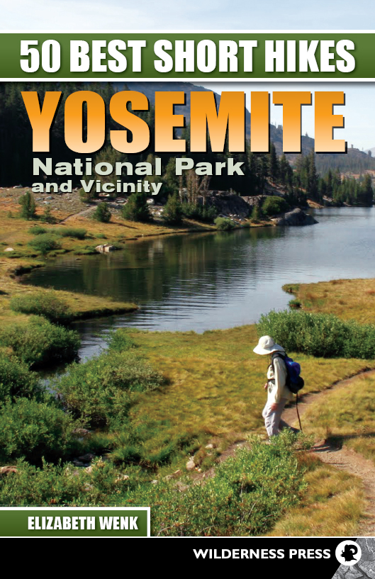

50 Best Short Hikes Yosemite National Park and Vicinity
2nd EDITION 2012
Copyright 2012 by Elizabeth Wenk
Front cover photo of Tioga Lake and back cover photo of middle Gaylor Lake copyright by Elizabeth Wenk
Interior photos, except where noted, by Elizabeth Wenk
Maps and cover design: Scott McGrew
Interior design and layout: Annie Long
Editor: Amber Kaye Henderson
Library of Congress Cataloging-in-Publication Data
Wenk, Elizabeth.
50 best short hikes Yosemite National Park and vicinity / Elizabeth Wenk. 1st ed.
p. cm.
ISBN-13: 978-0-89997-631-0 (pbk.)
ISBN-10: 0-89997-631-X ()
1. HikingCaliforniaYosemite National ParkGuidebooks. 2. Yosemite National Park (Calif.)Guidebooks. I. Title. II. Title: Fifty best short hikes Yosemite National Park and vicinity.
GV199.42.C22Y67987 2012
917.9447dc23
2011053066
Manufactured in the United States of America
| Published by: | Wilderness Press |
| c/o Keen Communications |
| PO Box 43673 |
| Birmingham, AL 35243 |
| (800) 443-7227; FAX (205) 326-1012 |
| info@wildernesspress.com |
| www.wildernesspress.com |
Visit our website for a complete listing of our books and for ordering information.
Distributed by Publishers Group West
All rights reserved. No part of this book may be reproduced in any form, or by any means electronic, mechanical, recording, or otherwise, without written permission from the publisher, except for brief quotations used in reviews.
Safety Notice
Although Keen Communications/Wilderness Press and the author have made every attempt to ensure that the information in this book is accurate at press time, they are not responsible for any loss, damage, injury, or inconvenience that may occur to anyone while using this book. You are responsible for your own safety and health while in the wilderness. The fact that a trail is described in this book does not mean that it will be safe for you. Be aware that trail conditions can change from day to day. Always check local conditions, know your own limitations, and consult a map and compass.
Acknowledgments
The offer to write this book arrived from Wilderness Press at a perfect time: I had 6-month-old and 2 -year-old daughters and was increasingly having fun exploring and reexploring the shorter trails in the Sierra. My husband, Douglas, and daughters, Eleanor and Sophia, supported me throughout the research for the hikes, obligingly following me down the trails or patiently waiting for me by a river play spot or pullout. Eleanor, just 5 now, has walked more than half the trails described here, and Sophia has accompanied me on nearly all of them, albeit in a backpack. Thanks as well to my sisters, Rebecca and Evelyn Wenk, and friends Louise Berben, Alisa Ellsworth, Cadie Hall, Charlotte Helvie, Candace and Eric Renger, Steven Thaw, John Williams, and others who also accompanied me on Yosemite walks over the last few years.
I acknowledge the many park service interpretive rangers and park scientists with whom I have spoken while writing this book. Each conversation has expanded my knowledge about Yosemite and the preservation of its natural resources. I also acknowledge the many people who have written books about Yosemite natural history and human history, for the more I learn, the more I appreciate Yosemite and see its secrets as I walk down the trail. The most important author to acknowledge is the grandfather of Yosemite, John Muir; I reread several of his books as I began writing, for in them is buried an incredible richness of natural history and a conservation ethic that was far ahead of its time.
The staff at Wilderness Press have been helpful and supportive throughout. As always I appreciate their flexibility in how I write the manuscript.
The Very Best Short Hikes
VERY BEST FOR LOCATION
VERY BEST FOR DESTINATION
VERY BEST FOR HISTORICAL INTEREST
VERY BEST FOR ALPINE SCENERY
VERY BEST FOR CHILDREN
VERY BEST LESS-TRAVELED
VERY BEST FOR WILDFLOWERS
VERY BEST FOR WALKING ON GRANITE SLABS
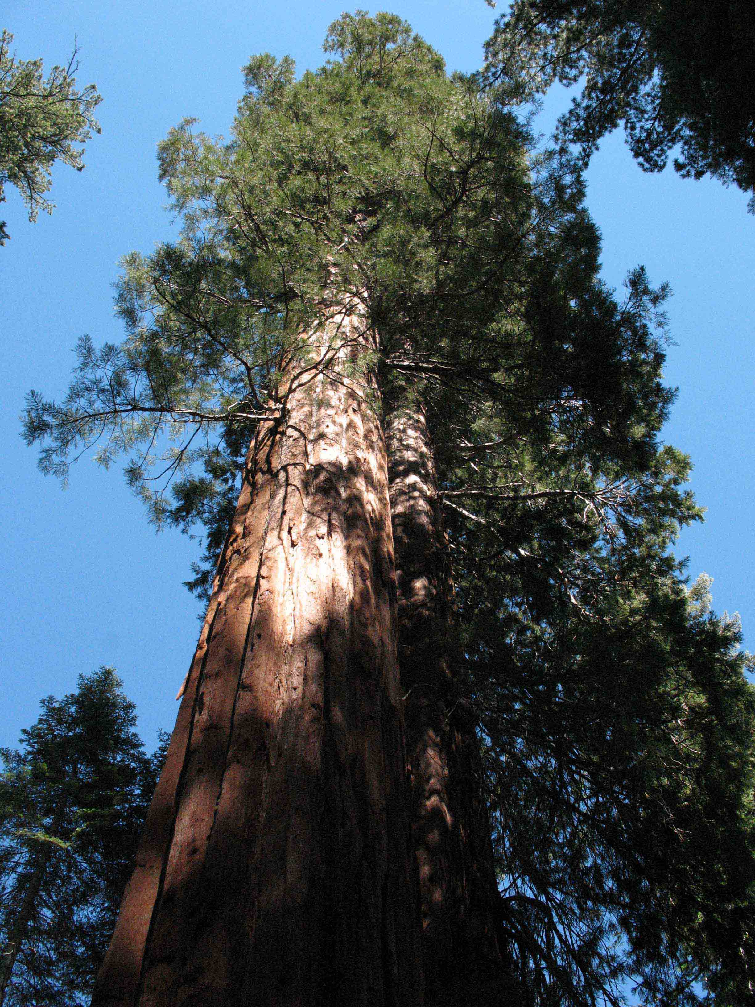
Giant sequoia in the
INTRODUCTION
Yosemite National Park is one of the countrys best-known and most-visited national parks, with approximately 4 million visitors annually. Yosemite Valley is its most famous feature, with eight waterfalls, the sheer faces of Half Dome and El Capitan, and a grand collection of pinnacles, towers, and cliffs. However, Yosemite Valley occupies just a fraction of the national park, and Yosemites treasures are much more diverse. A visitor is greeted by bubbling alpine creeks, smooth glaciated slabs, giant sequoias, deep dark-blue lakes, rock as far as the eye can see, meadows thick with a rainbow of flowers, alpine vistas, extensive conifer forests, shallow alpine tarns, domes, rivers, mining relics, cascades, pinnacled summits, and more.
This collection of attractions does not all exist in one location. The park covers nearly 1,200 square miles and ranges in altitude from below 3,000 feet along the Tuolumne and Merced River valleys to summits that top 13,000 feet. More than 800 miles of trail cut through the landscape, making a great number of hikes and diversity of landscapes accessible to anyone who wishes to park the car and explore the wilderness. Approximately a quarter of these trails are within 4 miles of a road, stretches that can be covered on a short day hike as defined in this book. This book includes 50 of my favorite excursions in and around Yosemite, chosen to introduce you to all of Yosemites wonders. Although all are less than 8 miles round-trip, they range considerably in difficulty, length, and environment. I hope there are many that you find inviting.
A CCESSING Y OSEMITE
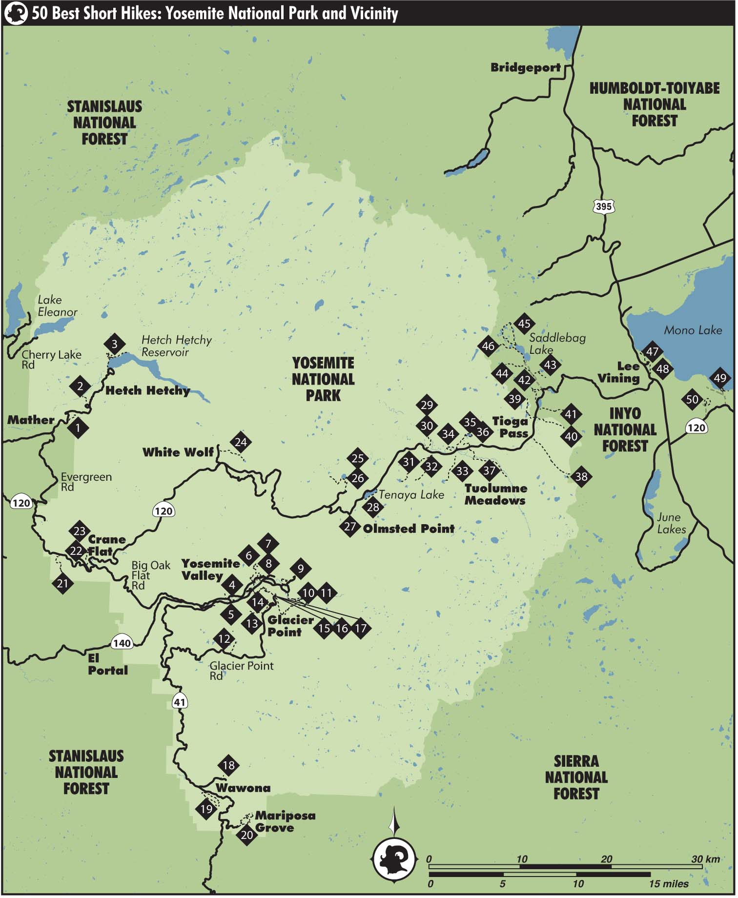
Just 214 miles of roads cut lines across Yosemites vast wilderness landscape. Five roads enter the park from the west: CA 140, CA 120, Evergreen Road, Cherry Lake Road, and CA 41, with only CA 120 extending across to the east end of Yosemite National Park. CA 140 follows the Merced River Canyon east from the town of Merced, past Mariposa and El Portal, and into Yosemite Valley. CA 120 climbs steeply out of the San Joaquin Valley, passing Groveland and approximately straddling the Tuolumne RiverMerced River drainage divide as it enters Yosemite at Big Oak Flat and climbs to Crane Flat. At Crane Flat, the right-hand fork, Big Oak Flat Road, descends into Yosemite Valley, while CA 120, or Tioga Road, continues east to Tuolumne Meadows, Tioga Pass, and eventually Mono Lake. Evergreen Road is a spur off CA 120 that descends to Hetch Hetchy Reservoir just before the Big Oak Flat entrance station along CA 120. Cherry Lake Road is a second spur off CA 120; no walks from this destination are covered in this book, as the windy drive to Cherry Lake and nearby Lake Eleanor is lengthy. Similar scenery may be found at more easily accessible locations. And finally, CA 41 approaches Yosemite from the southeast, passing through Oakhurst and entering the park adjacent to Mariposa Grove and Wawona. It continues north, descending into the western end of Yosemite Valley. The only other spur of consequence is Glacier Point Road, forking from CA 41 at Chinquapin and traveling east to Glacier Point, always just a few miles from Yosemite Valleys southern rim. US 395 lies east of the park and connects to CA 120 in Lee Vining, 12 miles east of the Yosemite boundary at Tioga Pass.
Next page
