How To Use This E-Book
This Explore Guide has been produced by the editors of Insight Guides, whose books have set the standard for visual travel guides since 1970. With top-quality photography and authoritative recommendations, these guidebooks bring you the very best routes and itineraries in the worlds most exciting destinations.
Best Routes
The routes in this book provide something to suit all budgets, tastes and trip lengths. As well as covering the destinations many classic attractions, the itineraries track lesser-known sights, and there are also excursions for those who want to extend their visit outside the city. The routes embrace a range of interests, so whether you are an art fan, a gourmet, a history buff or have kids to entertain, you will find an option to suit.
We recommend reading the whole of a route before setting out. This should help you to familiarise yourself with it and enable you to plan where to stop for refreshments options are shown in the Food and Drink box at the end of each tour.
Introduction
The routes are set in context by this introductory section, giving an overview of the destination to set the scene, plus background information on food and drink, shopping and more, while a succinct history timeline highlights the key events over the centuries.
Directory
Also supporting the routes is a Directory chapter, with a clearly organised AZ of practical information, our pick of where to stay while you are there and select restaurant listings; these eateries complement the more low-key cafs and restaurants that feature within the routes and are intended to offer a wider choice for evening dining. Also included here are some nightlife listings, plus a handy language guide and our recommendations for books and films about the destination.
Getting around the e-book
In the Table of Contents and throughout this e-book you will see hyperlinked references. Just tap a hyperlink once to skip to the section you would like to read. Practical information and listings are also hyperlinked, so as long as you have an external connection to the internet, you can tap a link to go directly to the website for more information.
Maps
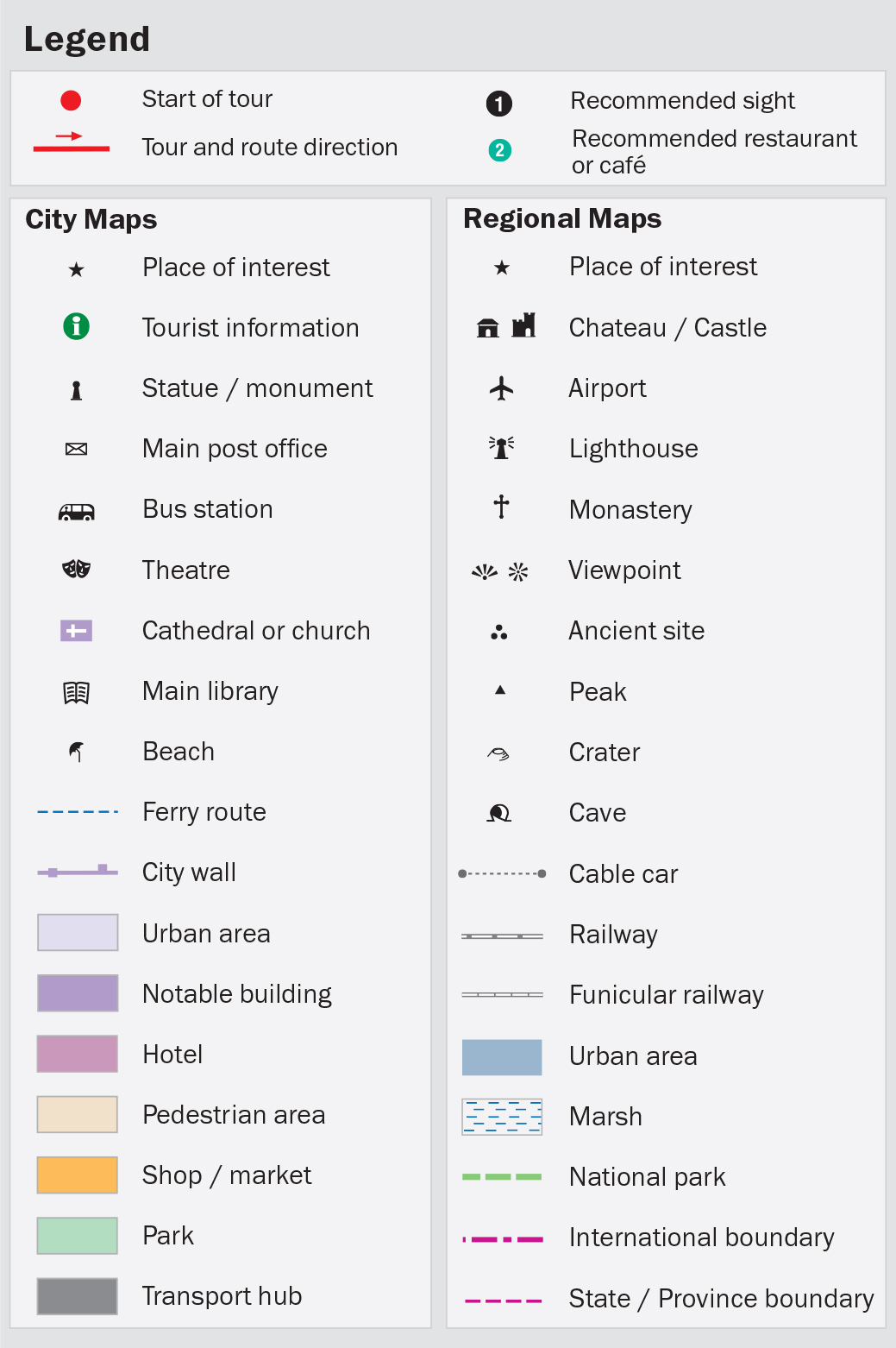
All key attractions and sights mentioned in the text are numbered and cross-referenced to high-quality maps. Wherever you see the reference [map] just tap this to go straight to the related map. You can also double-tap any map for a zoom view.
Images
Youll find hundreds of beautiful high-resolution images that capture the essence of the destination. Simply double-tap on an image to see it full-screen.
2013 Apa Publications (UK) Ltd
Table of Contents
Recommended Routes For...
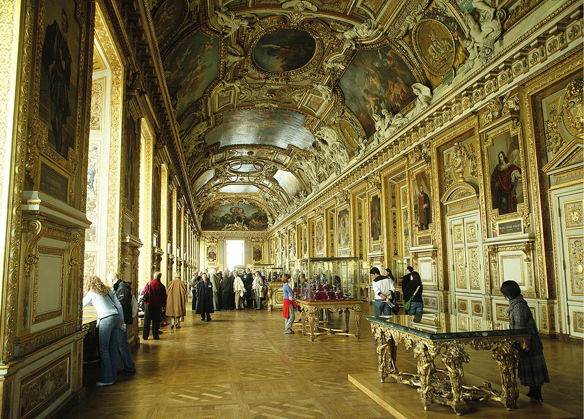
Art Enthusiasts
From the big three the Louvre ().
Ilpo Musto/Apa Publications
Children
Try boating in the Tuileries or Jardin du Luxembourg ().
Apa Publications
Classic Cafs
Take it easy with the bohemian crowd in the Marais ().
Ming Tang-Evans/Apa Publications
Escaping the Crowds
Find a quiet corner at Pre-Lachaise cemetery ().
Ming Tang-Evans/Apa Publications
Food and Wine
The 7th ().
Kevin Cummins/Apa Publications
Literary Types
Pay homage to Victor Hugo in the Marais ().
Ming Tang-Evans/Apa Publications
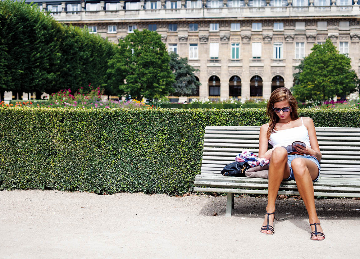
Parks and Gardens
Take a break in main parks such as the Tuileries and the Luxembourg ().
Ming Tang-Evans/Apa Publications
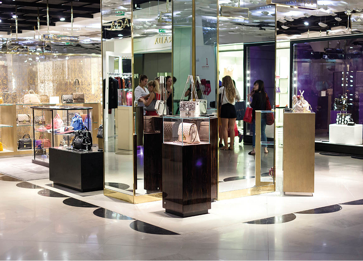
Shoppers
The department stores on the Grands Boulevards ().
Ming Tang-Evans/Apa Publications
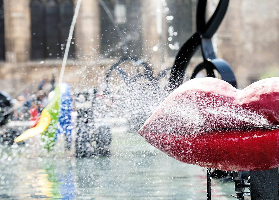
Stravinsky Fountain outside the Centre Pompidou
Ming Tang-Evans/Apa Publications
Explore Paris
With two World Heritage sites, 143 museums, over 460 parks and gardens, and 171 churches and temples, its not surprising that the population of 2.2 million have to share their good fortune with around 30 million visitors a year.
Paris is a comparatively compact city and more suited to walking than many, particularly for a capital. The city runs for 13km (8 miles) east and west, around 9km (6 miles) north and south, and is contained by the Priphrique, a famously traffic-logged ring road that runs 35km (22 miles) around it. The suburbs (la banlieue) form two concentric rings around Paris, and are split into dpartements or counties.
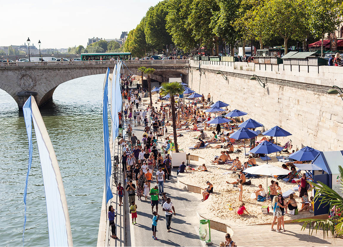
Paris-Plage brings the beach to the city
Ming Tang-Evans/Apa Publications
River Seine
The city is cut through the middle by the River Seine, which is spanned by 37 bridges. The river is the citys calmest and widest artery, barely ruffled by the daily flow of tourist and commercial boat traffic. It enters Paris close to the Bois de Vincennes in the southeast and meanders gently north and south past three small islands: le St-Louis, le de la Cit and, on its way out, le des Cygnes.
Chains of hillocks rise up to the north of the river, including Montmartre (the highest point of the city), Mnilmontant, Belleville and Buttes-Chaumont ( butte means hill); and, to the south, Montsouris, the Mont Ste-Genevive, Buttes aux Cailles and Maison Blanche.
Family values
As part of the governments policy to encourage population growth in France, each famille nombreuse (ie with three children or more) is rewarded with benefits including nursery provision, subsidised public transport, sports equipment, car tax and school meals, and free admission to museums. The birth rate, which the National Institute for Statistics now measures at more than two births per woman, has been boosted by Frances large Muslim community, which could become a majority in the next 20 to 25 years, if demographic trends continue.


