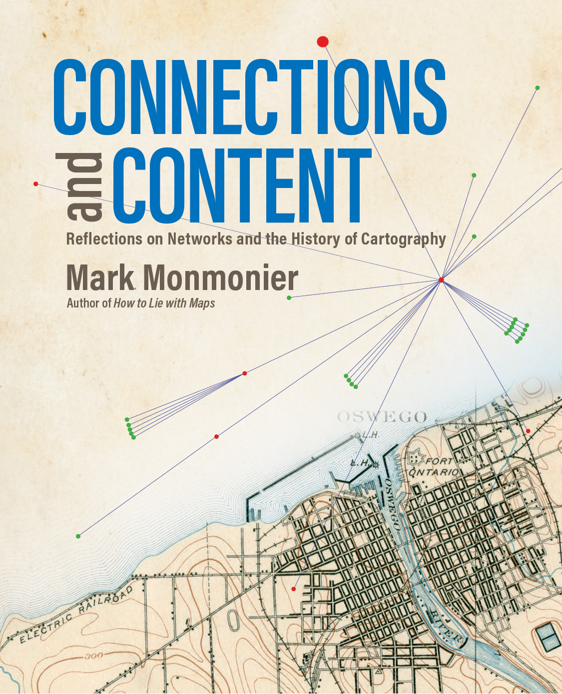
Mark Monmonier - Connections and Content: Reflections on Networks and the History of Cartography
Here you can read online Mark Monmonier - Connections and Content: Reflections on Networks and the History of Cartography full text of the book (entire story) in english for free. Download pdf and epub, get meaning, cover and reviews about this ebook. year: 2019, publisher: LightningSource, genre: Home and family. Description of the work, (preface) as well as reviews are available. Best literature library LitArk.com created for fans of good reading and offers a wide selection of genres:
Romance novel
Science fiction
Adventure
Detective
Science
History
Home and family
Prose
Art
Politics
Computer
Non-fiction
Religion
Business
Children
Humor
Choose a favorite category and find really read worthwhile books. Enjoy immersion in the world of imagination, feel the emotions of the characters or learn something new for yourself, make an fascinating discovery.

- Book:Connections and Content: Reflections on Networks and the History of Cartography
- Author:
- Publisher:LightningSource
- Genre:
- Year:2019
- Rating:4 / 5
- Favourites:Add to favourites
- Your mark:
Connections and Content: Reflections on Networks and the History of Cartography: summary, description and annotation
We offer to read an annotation, description, summary or preface (depends on what the author of the book "Connections and Content: Reflections on Networks and the History of Cartography" wrote himself). If you haven't found the necessary information about the book — write in the comments, we will try to find it.
Mark Monmonier: author's other books
Who wrote Connections and Content: Reflections on Networks and the History of Cartography? Find out the surname, the name of the author of the book and a list of all author's works by series.


Connections and Content: Reflections on Networks and the History of Cartography — read online for free the complete book (whole text) full work
Below is the text of the book, divided by pages. System saving the place of the last page read, allows you to conveniently read the book "Connections and Content: Reflections on Networks and the History of Cartography" online for free, without having to search again every time where you left off. Put a bookmark, and you can go to the page where you finished reading at any time.
Font size:
Interval:
Bookmark:
Esri Press, 380 New York Street, Redlands, California 92373-8100
Copyright 2019 Esri.
All rights reserved.
23 22 21 20 19 1 2 3 4 5 6 7 8 9 10
Printed in the United States of America.
eISBN: 9781589485600
The information contained in this document is the exclusive property of Esri unless otherwise noted. This work is protected under United States copyright law and the copyright laws of the given countries of origin and applicable international laws, treaties, and/or conventions. No part of this work may be reproduced or transmitted in any form or by any means, electronic or mechanical, including photocopying or recording, or by any information storage or retrieval system, except as expressly permitted in writing by Esri. All requests should be sent to Attention: Contracts and Legal Services Manager, Esri, 380 New York Street, Redlands, California 92373-8100, USA.
The information contained in this document is subject to change without notice.
US Government Restricted/Limited Rights: Any software, documentation, and/or data delivered hereunder is subject to the terms of the License Agreement. The commercial license rights in the License Agreement strictly govern Licensees use, reproduction, or disclosure of the software, data, and documentation. In no event shall the US Government acquire greater than RESTRICTED/LIMITED RIGHTS. At a minimum, use, duplication, or disclosure by the US Government is subject to restrictions as set forth in FAR 52.227-14 Alternates I, II, and III (DEC 2007); FAR 52.227-19(b) (DEC 2007) and/or FAR 12.211/12.212 (Commercial Technical Data/Computer Software); and DFARS 252.227-7015 (DEC 2011) (Technical Data Commercial Items) and/or DFARS 227.7202 (Commercial Computer Software and Commercial Computer Software Documentation), as applicable. Contractor/Manufacturer is Esri, 380 New York Street, Redlands, CA 92373-8100, USA.
@esri.com, 3D Analyst, ACORN, Address Coder, ADF, AML, ArcAtlas, ArcCAD, ArcCatalog, ArcCOGO, ArcData, ArcDoc, ArcEdit, ArcEditor, ArcEurope, ArcExplorer, ArcExpress, ArcGIS, arcgis.com, ArcGlobe, ArcGrid, ArcIMS, ARC/INFO, ArcInfo, ArcInfo Librarian, ArcLessons, ArcLocation, ArcLogistics, ArcMap, ArcNetwork, ArcNews, ArcObjects, ArcOpen, ArcPad, ArcPlot, ArcPress, ArcPy, ArcReader, ArcScan, ArcScene, ArcSchool, ArcScripts, ArcSDE, ArcSdl, ArcSketch, ArcStorm, ArcSurvey, ArcTIN, ArcToolbox, ArcTools, ArcUSA, ArcUser, ArcView, ArcVoyager, ArcWatch, ArcWeb, ArcWorld, ArcXML, Atlas GIS, AtlasWare, Avenue, BAO, Business Analyst, Business Analyst Online, BusinessMAP, CityEngine, CommunityInfo, Database Integrator, DBI Kit, EDN, Esri, esri.com, Esri Team GIS, Esri The GIS Company, Esri The GIS People, Esri The GIS Software Leader, FormEdit, GeoCollector, Geographic Design System, Geography Matters, Geography Network, geographynetwork.com, Geoloqi, Geotrigger, GIS by Esri, gis.com, GISData Server, GIS Day, gisday.com, GIS for Everyone, JTX, MapIt, Maplex, MapObjects, MapStudio, ModelBuilder, MOLE, MPS Atlas, PLTS, Rent-a-Tech, SDE, SML, SourcebookAmerica, SpatiaLABS, Spatial Database Engine, StreetMap, Tapestry, the ARC/INFO logo, the ArcGIS Explorer logo, the ArcGIS logo, the ArcPad logo, the Esri globe logo, the Esri Press logo, The Geographic Advantage, The Geographic Approach, the GIS Day logo, the MapIt logo, The Worlds Leading Desktop GIS, Water Writes, and Your Personal Geographic Information System are trademarks, service marks, or registered marks of Esri in the United States, the European Community, or certain other jurisdictions. CityEngine is a registered trademark of Procedural AG and is distributed under license by Esri. Other companies and products or services mentioned herein may be trademarks, service marks, or registered marks of their respective mark owners.
Ask for Esri Press titles at your local bookstore or order by calling 1-800-447-9778. You can also shop online at www.esri.com/esripress. Outside the United States, contact your local Esri distributor or shop online at eurospanbookstore.com/esri.
Esri Press titles are distributed to the trade by the following:
In North America:
Ingram Publisher Services
Toll-free telephone: 800-648-3104
Toll-free fax: 800-838-1149
E-mail: customerservice@ingrampublisherservices.com
In the United Kingdom, Europe, the Middle East and Africa, Asia, and Australia:
Eurospan Group
3 Henrietta Street
London WC2E 8LU
United Kingdom
Telephone 44(0) 1767 604972
Fax: 44(0) 1767 6016-40
E-mail:eurospan@turpin-distribution.com

Contents
Chapter 1 :
Chapter 2 :
Chapter 3 :
Chapter 4 :
Chapter 5 :
Chapter 6 :
Chapter 7 :
Appendix A :
Appendix B :
Preface
For me, the notion of maps as networks, or interconnected systems, is deeply personal. Although my earliest experiences with cartography began with crayons and rolls of shelf paper on which I created dozens of long, thin farmscorn here, the barn there, and wheat over yonderthe leap from neophyte mapmaker to researcher/raconteur grew out of a fascination with the maps in train schedules and the discarded copies of the Official Guide of the Railways that Dad brought home from his office downtown at the Baltimore and Ohio Railroad. I was also intrigued by maps of Baltimores streetcar and bus networkbecause we didnt have a car until we moved out to Baltimore County, where Mom taught school, public transit was what we used for Sunday afternoon outings. While we lived in the city, I became curious about how the fire alarm boxes on street corners were connected by a single wire running from box to box, which I mapped within our neighborhood and beyond, using my two-wheeler to discover multiple circuits leading to local firehouses. Years later, I learned that pulling an alarm would cause a spring-wound mechanism to send out a unique series of coded interruptions that pinpointed the particular box. Some small cities in upstate New York still use this mechanism to back up the 911 system.
In high school, I discovered US Geological Survey (USGS) topographic maps as a rich source of information on railroads, both extant and abandoned. In graduate school years later, I contemplated a masters thesis on railway abandonment but shelved the idea until I found time, several years after earning a PhD, to publish a short paper with the pompous title, Railroad Abandonment in Delmarva: The Effect of Orientation on the Probability of Link Severance in a Transport Network. My multipanel temporal map and related graphic model were early examples of whats now called a story map . And three decades ago, after I discovered that authoring books could be more fulfilling than writing journal articles, I drafted the first of several outlines for a book on maps and networks: a project that sat on the back burner until a couple of years ago, when the seven-chapter structure for Connections and Content came into focus. Im glad I waited.
What made this latest plan compelling was a string of one-word chapter titles that relate technologies for observing and measuring the landscape to key principles for making or using maps. Chapter 1, which looks at how the scales of maps based on triangulation networks depend on precisely measured baselines , precedes the chapter on geometry , which examines mathematical connections between gravity, heavenly bodies, optical instruments, telegraph lines, and three-dimensional figures called ellipsoids , which outperform the sphere in describing our planets shape. Chapters 3 and 4, largely focusing on rivers, canals, and railways, explore the trove of map symbols and the modes of map analysis whereby past and current transportation infrastructure was conceived, located, built, and advertised to the public. Chapter 5 examines the role of telecommunications in not only birthing and nurturing weather science but also shaping the institutional networks of operational forecasting. Topology , a mathematical genre dedicated to adjacency rather than distance, is a fitting title for chapter 6, which looks at cartographic databases designed to promote the collection and analysis of census data, the interactive display of terrain data, and the calculation of optimum routes for satnavs (in-vehicle satellite navigation systems). The final chapter, on control , explores the role of maps in describing the internet, enabling driverless cars and drones, preventing railway accidents, and designing congressional districts that let a minority of voters dictate results. Whoever promised that modern mapping is inherently benign?
Font size:
Interval:
Bookmark:
Similar books «Connections and Content: Reflections on Networks and the History of Cartography»
Look at similar books to Connections and Content: Reflections on Networks and the History of Cartography. We have selected literature similar in name and meaning in the hope of providing readers with more options to find new, interesting, not yet read works.
Discussion, reviews of the book Connections and Content: Reflections on Networks and the History of Cartography and just readers' own opinions. Leave your comments, write what you think about the work, its meaning or the main characters. Specify what exactly you liked and what you didn't like, and why you think so.