Contents
Guide

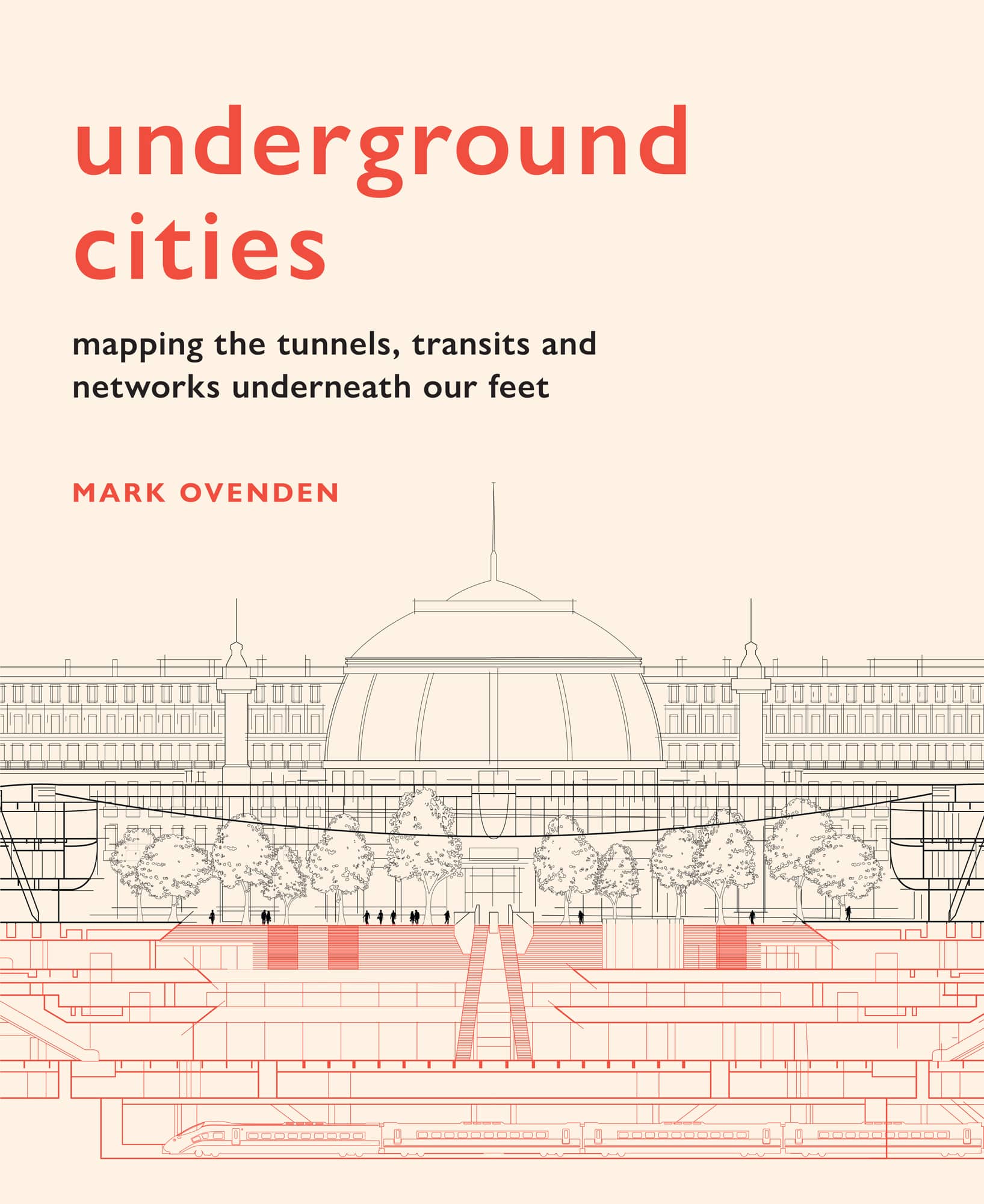
underground cities
mapping the tunnels, transits and networks underneath our feet
MARK OVENDEN

Introduction
Walking around most cities in the twenty-first century, peoples feet are highly likely to be falling on top of a lot more than the pavement. If it were possible to neatly peel away the soil, among the worms and moles would be found a messy, yet mesmerizing mix of cable ducts, utility pipes, drainage channels, cellars, crypts, wells, tunnels, subways and foundations of older buildings. In the longer established cities, we are quite literally standing upon the shoulders of giants of civilizations past.
Why do societies continually build new structures on top of old ones and what happens to their forgotten remains? How much of an original Roman or prehistoric settlement lies buried beneath a modern city? What will be found once a new subway line is bored through the earth? Questions like these have fascinated me since I was a kid being dragged somewhat unwillingly around the detritus of de-industrializing Britain in the 1960s and 70s by my studious father who delighted in long walks along abandoned railways or disused canals.
Shortly after relocating from the city where I was brought up to a rural village, the pupils at my new school were asked to compose a quatrain about their home town. I wrote:
I come again to London Town
Green land it has diminished
New buildings up, old landmarks down
When will London be finished?
Not the makings of a future poet, but the beginnings of recognition that constant renewal of cities seems to have placed in my psyche a drive to learn more about how urban areas are on a never-ending cycle of regeneration. The construction of public transportation systems and new building foundations are arguably the leading causes of unearthing buried human activity, so naturally being a transit geek led me to question more about what else lies down there beyond the subway walls.
For most of my life I collected transport ephemera (maps, brochures, photos, etc.) but during the 1990s I was lucky enough to take more international trips for my work in the music industry, so was able to add worldwide examples to my collection. Friends going to far flung cities began asking for copies of the Mexico City or Tokyo Metro map and I got to wonder why there was no book which showed all of them side by side. This led me to develop ideas for my first publication Metro Maps of the World in 2003. It was a bit of a surprise hit and was taken on by bigger publishers, translated into other languages and updated several times since. The success also inspired a move to France to investigate the Paris Mtro, and another back to London in time to produce a book on the design of the Underground for its 150th anniversary in 2013. All of this interest and new knowledge led to more intensive urban exploration and the premise of Underground Cities which examines all types of sub-surface human-made structures, not just my traditional fare of transit tunnels.
The research for this has led to some surprising discoveries. For example, the vast complex of spaces hewn out beneath Helsinki, begun during the Cold War as a way of protecting the citizens from attack, has been continually maintained and expanded to the point that it now functions as another working level of this fine city. On a more commercial note are the vast interlinked pedestrian tunnel networks of the Canadian shopping malls beneath cities like Montreal and Toronto. And although I was aware of Moscows rumoured second, deep-level, military Metro, I had no idea about the scale of some of the secret bunkers created there. These and many other findings are assembled in this book.
The richness and diversity of those sites has been embellished by superb illustrations drawn by Robert Brandt. His interpretations of these underground places are made more comprehensible by the clarity of his work. Thanks must also go to Lovell Johns, in particular to Clare Varney who created the wonderful maps.
The order in which to display the cities presented some challenges, but rather than showing them alphabetically or by population size, we settled on circumnavigating the globe from the International Date Line to avoid any accusation of favouritism!
From subsurface swimming pools to clandestine control rooms, the diversity of features shown in this book should inspire anyone to wonder about the labyrinths underfoot. Whether this is being read from the perspective of someone keen to travel to these cities, or just as an armchair explorer, I hope that you will experience the fascination of what lies beneath our feet as much as I have and next time you walk along a city street, your imagination of the invisible is expanded.
North and South America
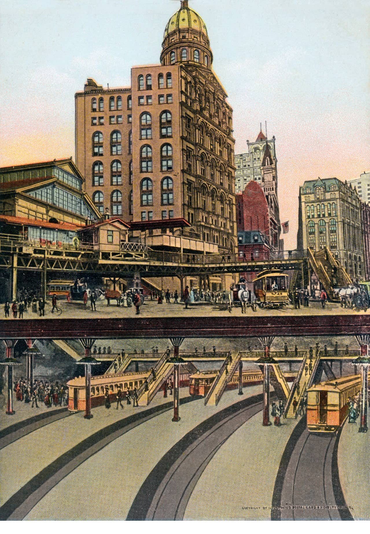
A 1906 postcard showing a cutaway of the BMT Subway and Brooklyn Bridge Terminal in New York City
Los Angeles
Made for streetcars
One of the worlds most extensive urban regions, with a population of four million people (and more than twelve million in the metropolitan area), Los Angeles lies on the Pacific Coast of California, USA. Infamous for its freeways and cars, the city was, surprisingly, laid out with mass transportation in mind.
Modern Los Angeles, commonly shortened to LA, sprawls out over a mainly flat plain in front of the Santa Monica and San Gabriel mountain ranges. Native peoples lived in the area from around 5000 to 3000 BCE, and Spanish explorers first arrived in 1542, returning 200 years later, when it is thought about 5,000 Gabrielinos lived in the area that is now known as the Los Angeles basin. The Town of Our Lady the Queen of the Angels was founded by forty-four settlers in 1781, although it was little more than a small ranch. By 1820 it had a population of 650 and fell to Mexican rule, but this ended in 1847. Railways arrived when the Southern Pacific was completed in 1876, followed by the Sante Fe in 1885. Oil was discovered in 1892 and by 1900 the population had topped 100,000.
LAs semi-arid position
Although not as dry as popular culture would have people believe, by the end of the nineteenth century, the Los Angeles basin was not receiving enough rain to provide drinking water to sustain its population. The Los Angeles Aqueduct project was intended to drain water from the Owen Valley north of the city, via 60km (37 miles) of canals, 70km (43 miles) of underground culverts and 156km (97 miles) of open, lined channels. With work having begun in 1905, the immense task was completed in 1913. It was so effective that nearby towns and cities such as Hollywood, also suffering from its own water shortages, unilaterally annexed themselves to LA to benefit from the works. This in turn caused more water usage than was anticipated and the project had to be extended in later years for example, by the Mono Basin extension in 1930 and the Second Aqueduct in 1956 so that it now draws water from almost as far as the state border with Nevada.


