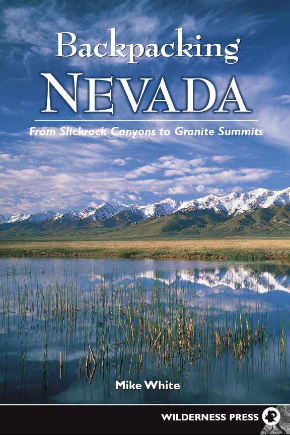
Backpacking Nevada
From the book
Mt. Rose and Bronco Creek ()
Reach the floor of Galena Creek canyon at 2.3 miles from the trailhead and stand below this scenic gem, where multiple ribbons of water spill picturesquely down dark rock walls. Downstream, an expansive meadow provides a fine foreground view for the massive hulk of Mt. Rose.
Winchell Lake Trail ()
You enter East Humboldt Wilderness just before the crossing of South Fork Angel Creek, a tumbling stream that courses thought a verdant swath of foliage and flowers, with the rugged cliffs of Chimney Rock presenting a dramatic backdrop.
Soldier Lakes Basin ()
Eventually, the canyon widens, the grade moderates, and the more open terrain allows for fine views of Soldier Peak. The path veers away from the creek for a time until you wander back though a field of waist-high wildflowers, crossing a spring-fed tributary along the way.
Toiyabe Crest Trail ()
The broad basin of the upper Reese River spreads out before you. The rolling hills carpeted with silvery-green sagebrush and the seemingly endless sky bring to mind a cowboy country imagethe only missing piece is John Wayne astride his stallion.
Mt. Jefferson Loop ()
Now the long plateau atop Mt. Jefferson stretches out before you, where desert-alpine vegetation struggles to attain heights of even 3 to 4 inches, and wildflower blooms are short-lived. Awe-inspiring, 360-degree views are commonplace, with mountains from California to Utah visible on clear days.
Table Mountain Traverse ()
Mid-June to mid-July is an excellent time to visit, when the flowers are at their peak and plenty of water is in the streams; late September to early October is a grand time to see the aspens at the height of their glory, audibly complemented by the bugling of male elk.

Backpacking Nevada: From Slickrock Canyons to Granite Summits
1st EDITION 2004
2nd printing 2008
Copyright 2004 by Mike White
Front cover photo copyright 2004 by Larry Ulrich
Back cover photo copyright 2004 by Mike White
Interior photos by Mike White
Maps: Mike White
Cover design: Andreas Schueller
Book design: Andreas Schueller and Jaan Hitt
ISBN 978-0-89997-322-7; eISBN 978-0-89997-592-4
Manufactured in the United States of America
Distributed by Publishers Group West
| Published by: | Wilderness Press |
| c/o Keen Communications |
| PO Box 43673 |
| Birmingham, AL 35243 |
| (800) 443-7227; FAX (205) 326-1012 |
| www.wildernesspress.com |
Visit our website for a complete listing of our books and for ordering information.
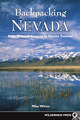
| Cover photos: | Cirrus clouds over Ruby Mountains (front);
Mt. Rose from Slide Mountain (back) |
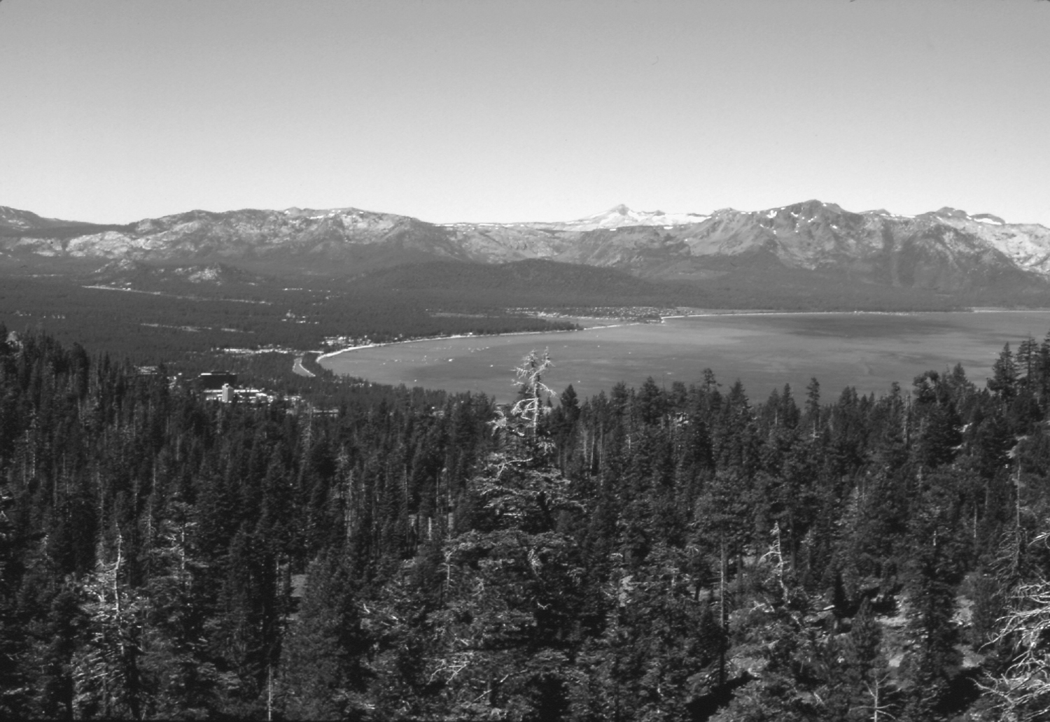
| Frontispiece : | Lake Tahoe from the Tahoe Rim Trail |
All rights reserved. No part of this book may be reproduced in any form, or by any means electronic, mechanical, recording, or otherwise, without written permission from the publisher, except for brief quotations used in reviews.
SAFETY NOTICE: Although Wilderness Press and the author have made every attempt to ensure that the information in this book is accurate at press time, they are not responsible for any loss, damage, injury, or inconvenience that may occur to anyone while using this book. You are responsible for your own safety and health while in the wilderness. The fact that a trail is described in this book does not mean that it will be safe for you. Be aware that trail conditions can change from day to day. Always check local conditions and know your own limitations.
Dedication
To my wife, my beloved, my helpmate, without whose support and encouragement this book would not exist.
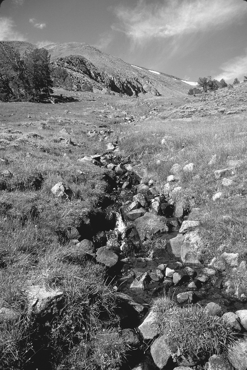
Stream in Bucks Canyon ()
Acknowledgments
Over the years many individuals have given their assistance to this project in a variety of ways. First and foremost, my gratitude is extended to Tom Winnett, founder and patriarch of Wilderness Press, who was the first to believe not only in the concept of a guide-book about the backcountry of Nevada, but in my ability to steer that vision into reality. Secondly, Mike Jones, Jannie Dresser, Larry Van Dyke, and the staff at Wilderness Press are due a big thank you for handling this project with their usual diligence and care. Thanks especially to Elaine Merrill and Roslyn Bullas for seeing the project through to completion.
Several friends granted me the privilege of their company on the trail throughout the process of doing the fieldwork, including Dwight Smith, Mike Wilhelm, Dave Peterson, Brian Gervais, John Burton, Keith Catlin, and the youth group from RCF (Leo, Ben, Brian, Danna, Daniel, David, Josh, Karen, Kristen, Peter, Rachel, Steve, and Yun). Their companionship kept my already skewed perspective from getting further out of whack amid so much solitude. Additional thanks are extended to Carmel Bang, Ciera Durling and Mary Ann Williams for helping to make possible so many trips into the Nevada backcountry.
Although this book is already dedicated to my wife, I must thank her again for making this project possible, for without her Backpacking Nevada would simply not exist. Her review of the manuscript was much appreciated as well.
Lastly, but most importantly, I thank God for blessing me with the opportunities to enjoy His creation, along with the ability to put together on paper some seemingly coherent thoughts.
Mike White
March 2004
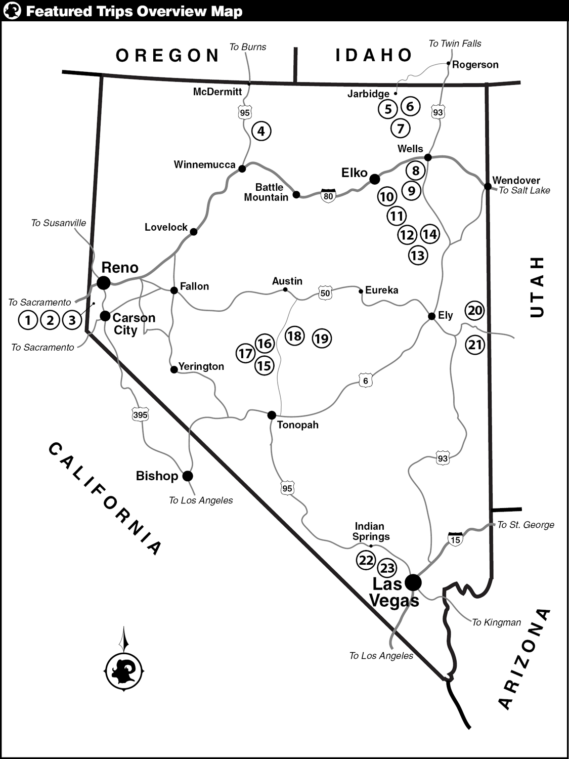
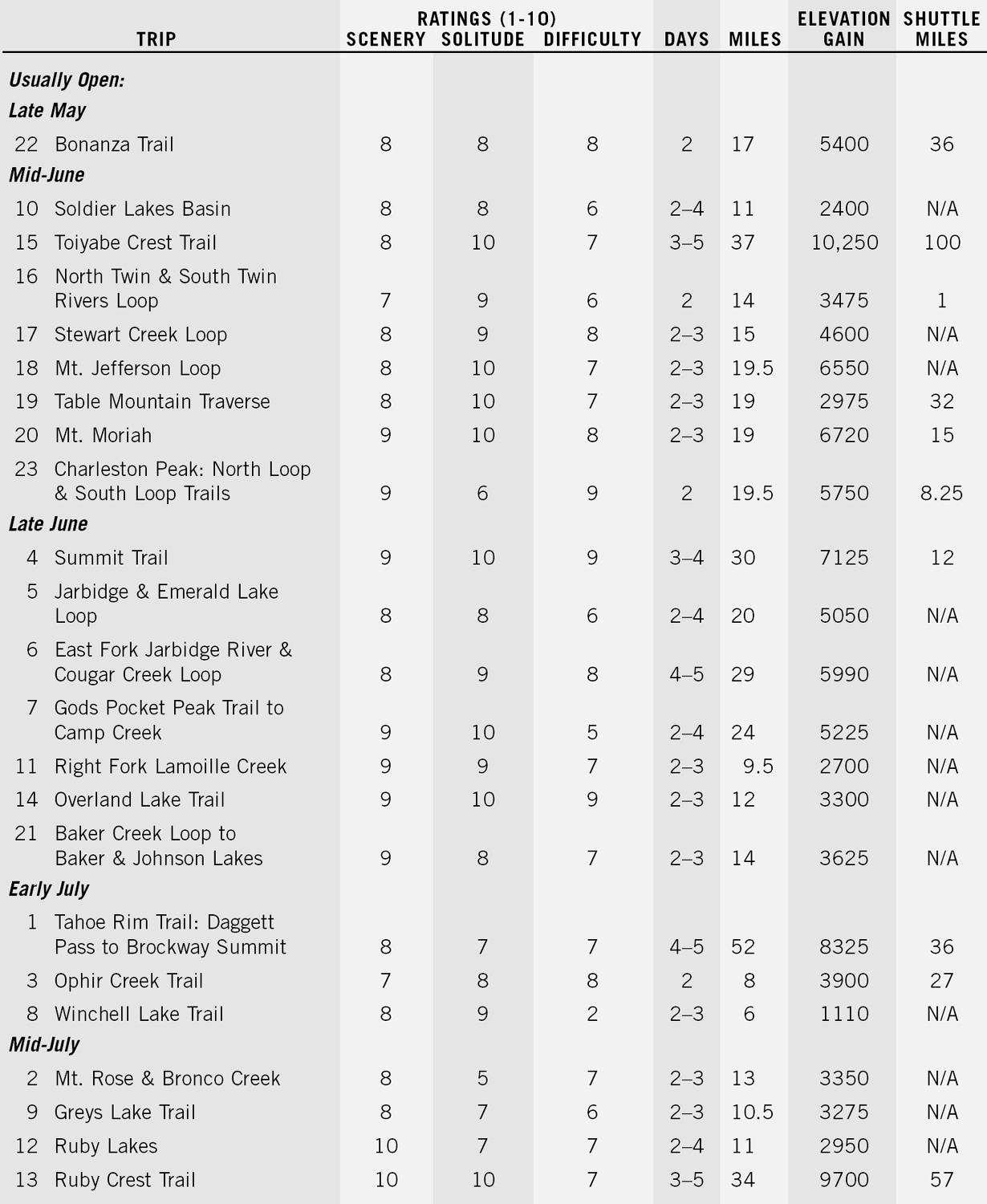
Featured Trips Summary Chart
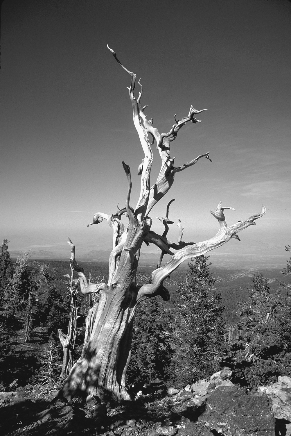
Old bristlecone pine, Spring Mountain ()
Introduction
T hose unfamiliar with Nevada generally have one of two distinctly different images of the state: a vast, lifeless open space filled from one end to the other with the ubiquitous sagebrush, or a land evoking sensory overload caused by the glittering opulence found on the neon-enriched Las Vegas Strip. The idea of mountains with magnificent wilderness harboring wildflower-laden meadows, clear, rushing streams, alpine lakes, and jagged peaks is beyond the comprehension of most people. Travelers speed across the state on the major highways, the expansive landscape a mere obstacle to reaching their ultimate destination, completely unaware of the extraordinary landscape beyond the asphalt and the bordering sea of sagebrush.
The state of Nevada is the most mountainous state in the Union outside of Alaska, having a basin-and-range topography common to all the Great Basin. Here the typical mountain range is long and narrow with a north-south-trending orientation, bordered on each side by an arid valley. This pattern is repeated numerous times across the breadth of the Great Basin, creating rows of linear mountain ranges, some with summits as high as 13,000 feet that tower thousands of feet above deep basins on each side. Along the spines of these ranges are island sanctuaries harboring diverse ecosystems that differ greatly from those found in the neighboring valleys. Whereas the basins can be extremely hot and inhospitable during the summer, the ranges above, benefiting from additional moisture and cooler temperatures, contain forests, meadows, streams and lakes that attract wildlife and lure recreationists.
Next page
