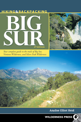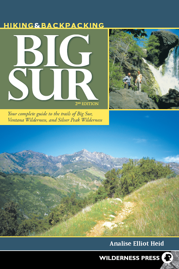
A very complete compilation that I would recommend to anyone interested in going to the Big Sur area.
Ada Babine
Chair of the Sierra Clubs Santa Barbara group & veteran Big Sur hiker
Hiking & Backpacking Big Sur
Your complete guide to the trails of Big Sur, Ventana Wilderness, & Silver Peak Wilderness
2nd EDITION 2013
Copyright 2013 by Analise Elliot Heid
The poem , by Robinson Jeffers, is copyrighted by Jeffers Literary Properties.
Front and back cover photos copyright 2013 by Analise Elliot Heid
Interior photos by Analise Elliot Heid
Maps: Bart Wright, Fineline Maps
Cover design: Scott McGrew
Book design: Adapted by Annie Long
Book editor: Holly Cross
ISBN: 978-0-89997-727-0
eISBN: 978-0-89997-726-3
CATALOGING-IN-PUBLICATION DATA IS AVAILABLE FROM THE LIBRARY OF CONGRESS.
Manufactured in the United States of America
| Published by: | Wilderness Press
Keen Communications
P.O. Box 43673
Birmingham, AL 35243
(800) 443-7227; FAX (205) 326-1012
info@wildernesspress.com
www.wildernesspress.com |
Visit our website for a complete listing of our books and for ordering information.
Distributed by Publishers Group West
All rights reserved. No part of this book may be reproduced in any form, or by any means electronic, mechanical, recording, or otherwise, without written permission from the publisher, except for brief quotations used in reviews.
SAFETY NOTICE: Although Wilderness Press and the author have made every attempt to ensure that the information in this book is accurate at press time, they are not responsible for any loss, damage, injury, or inconvenience that may occur to anyone while using this book. You are responsible for your own safety and health while in the wilderness. The fact that a trail is described in this book does not mean that it will be safe for you. Be aware that trail conditions can change from day to day. Always check local conditions and know your own limitations.
ACKNOWLEDGMENTS
F OREMOST, I would like to thank Jeff Schaffer, author of Wilderness Presss Hiking the Big Sur Country, which this book replaces. I drew upon his incredibly accurate mapping and trail descriptions in writing this book.
My parents are at the head of the list of acknowledgments. Their love and support has given me the confidence to live passionately and follow my dreams. To Craig, for making my first experiences in the backcountry filled with adventure and fun. To Heid, for countless hours spent listening and encouraging. To Matt, for guidance and inspiration to go for it. To Jannie, for your willingness to stand up for what you believe in. To Laurie and Chris, for your incredible generosity. To Briezer and Wickland, whom I can always count on for an adventure. To E, for many words of advice. To Trevor, for your friendship and flexibility. To my community of friends and avid adventurers: Heart & Lissin, Hammer, Aaron, Pogen, Thomas, Isabel, Bill, and Joanne for accompanying me on unknown and overgrown trails. To Michelle and Leah, for taking the path less traveled. To Jan and Sid, for opening your home and hearts.
I wish to thank Thomas and Caroline Winnett at Wilderness Press for the opportunity to pursue professionally what I love. Thank you to David Lauterborn, who read the manuscript, contributing his knowledge and art of good writing, and to Roslyn, for picking up the pieces and guiding me through the process to completion.
A special thank-you goes to the hundreds of volunteers who built, maintained, and continue to work on the trails of the Santa Lucia Mountains. Unfortunately, the USFS has said that budgetary constraints preclude them from restoring most of the trails in the wilderness in the foreseeable future. Without the grassroots volunteer efforts of the folks at the Ventana Chapter of the Sierra Club and the Ventana Wilderness Alliance, many of the remote trails that traverse the heart of Ventana would be lost. The dedication of these volunteers to protecting and restoring the wildlands of the Big Sur coast is vital to the preservation of the rugged wilderness and biodiversity of the Northern Santa Lucia Mountains for generations to come. Without their efforts, this book would not have been possible.
CHAPTER one
Introducing Big Sur
B IG S UR . T HE NAME EVOKES IMAGES of a wild and rugged coast. In the mid-1800s, a handful of independent and adventurous homesteaders, fur traders, ranchers, and entrepreneurs settled the area along steep, narrow wagon roads. But Big Sur would remain remote until Highway 1 was completed in 1938. Modern-day visitors are struck by the drama of this two-lane roller coaster, which twists and winds through blankets of fog along sheer cliffs hundreds of feet above the Pacific.
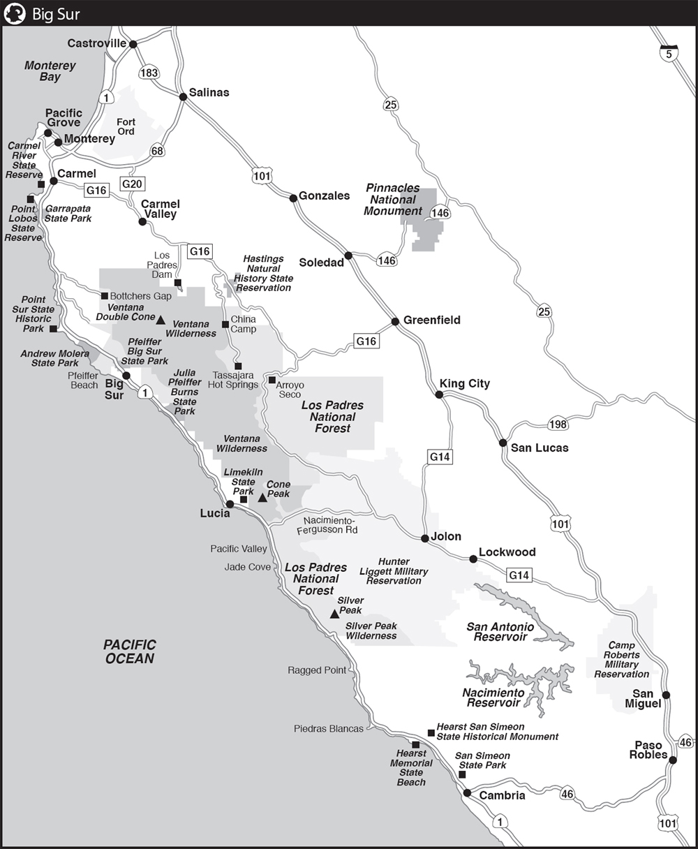
Just where Big Sur begins and ends has long been a matter of debate. Historically, early Spanish explorers named the vague unexplored wilderness south of Monterey El Sur Grande (The Big South). Today, the region encompasses a 90-mile coastal stretch between Carmel to the north and San Simeon to the south, flanked on one side by the high peaks of the Santa Lucia Range and on the other by the jagged coast and broad Pacific Ocean.
While Big Sur is widely renowned for its exceptional beauty, few people venture beyond Highway 1. In addition, few roads cross the Santa Lucia Range, making it one of the largest roadless areas along the continental US coast. The result? A vast, remote wilderness waits to be explored.
About This Book
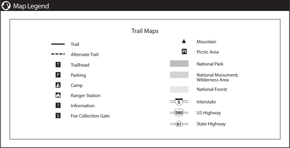
I N THIS BOOK , trips in Big Sur country are described in two parts: .
Trips in offer more than 300 miles of trails and restricted roads to explore on either day hikes or extended backpacking treks. Each part is subdivided into chapters that list trips in geographic order from north to south.
Each trip includes summary information and the hike description itself.
Summary
Summary information for each trip includes:
TITLE The highlighted destination(s) along the route.
LENGTH AND TYPE The overall length of the hike and whether the route is out-and-back, point-to-point, or a loop. Distances to specific waypoints are listed in each hike description.
RATING This book rates each trip according to physical effort and ease of access. Ratings are as follows:
Easy: Typically a short hike on level terrain with less than 500 feet of total elevation gain.
Moderate: Hikes with a consistent medium grade with roughly 5001000 feet of total elevation gain.
Strenuous: Typically longer hikes with approximately 10002000 feet of elevation gain.
Challenging: A very strenuous hike with roughly 20003000 feet of total elevation gain over many miles of steep, rugged trails in often remote regions. Wilderness experience and ethics required.
TRAIL CONDITION Many routes within the wilderness areas are ill maintained, suffering from landslides, encroaching brush, and vanishing tread. The five-level rating system described below summarizes the general navigability of the trail. This section also advises whether the trail is good for kids, and whether youre likely to encounter poison oak.
Next page
