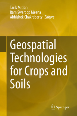
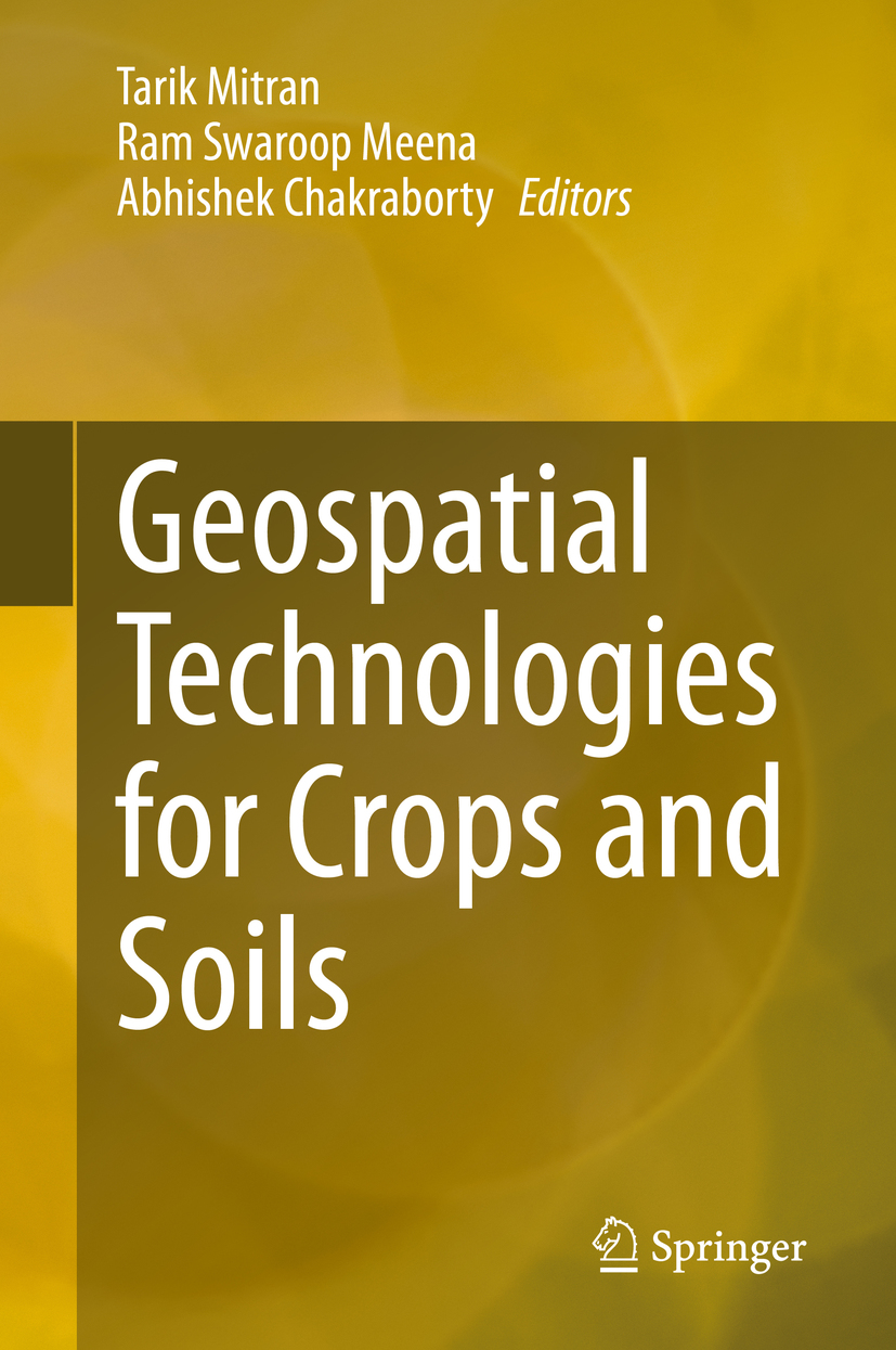
Tarik Mitran - Geospatial Technologies for Crops and Soils
Here you can read online Tarik Mitran - Geospatial Technologies for Crops and Soils full text of the book (entire story) in english for free. Download pdf and epub, get meaning, cover and reviews about this ebook. publisher: Springer Singapore, genre: Romance novel. Description of the work, (preface) as well as reviews are available. Best literature library LitArk.com created for fans of good reading and offers a wide selection of genres:
Romance novel
Science fiction
Adventure
Detective
Science
History
Home and family
Prose
Art
Politics
Computer
Non-fiction
Religion
Business
Children
Humor
Choose a favorite category and find really read worthwhile books. Enjoy immersion in the world of imagination, feel the emotions of the characters or learn something new for yourself, make an fascinating discovery.
- Book:Geospatial Technologies for Crops and Soils
- Author:
- Publisher:Springer Singapore
- Genre:
- Rating:5 / 5
- Favourites:Add to favourites
- Your mark:
- 100
- 1
- 2
- 3
- 4
- 5
Geospatial Technologies for Crops and Soils: summary, description and annotation
We offer to read an annotation, description, summary or preface (depends on what the author of the book "Geospatial Technologies for Crops and Soils" wrote himself). If you haven't found the necessary information about the book — write in the comments, we will try to find it.
Geospatial Technologies for Crops and Soils — read online for free the complete book (whole text) full work
Below is the text of the book, divided by pages. System saving the place of the last page read, allows you to conveniently read the book "Geospatial Technologies for Crops and Soils" online for free, without having to search again every time where you left off. Put a bookmark, and you can go to the page where you finished reading at any time.
Font size:
Interval:
Bookmark:

This Springer imprint is published by the registered company Springer Nature Singapore Pte Ltd.
The registered company address is: 152 Beach Road, #21-01/04 Gateway East, Singapore 189721, Singapore
The ever-growing world population will lead to enormous pressure on land resources to produce food for 10 billion people in 2050. However, to meet the future challenges of feeding the world population, there is a need for a continuous assessment and prioritized intervention to halt the declining trends in crop productivity, minimizing the rate of land degradation, reducing the environmental damage, and enhancing farm income through a sustainable resource development plan. The adoption of Geospatial Technologies encompassing techniques and tools related to Remote Sensing (RS), Geographic Information System (GIS), Global Positioning System (GPS), advanced data processing, Information Technology (IT)-driven outreach, and web-services might play the much-needed role of a fulcrum to increase future agricultural productivity. Geospatial technologies can pave way for significant improvements in efficiency of input-use, resulting in cost savings on inputs and precious resources. Geospatial tools can be used for soil profiling, satellite imagery, and mapping results to assess nutrient deficiencies in site-specific location and fine tune products (i.e., area-specific fertilizer mixtures for crops), which can help promote judicious and balanced use of fertilizers rather than blanket applications that can lead to several environmental issues .The goal is to develop agricultural resources management options for advancing global food security, adapting and mitigating climate change, and promoting Sustainable Development Goals of the United Nations.
Therefore, this book is timely and highly pertinent because it addresses the applications of geospatial technologies for crops and soils. It also provides information about cost-effective measures, easy-to-understand interpretation, and the documentation needed to formulate sustainable action plans to achieve effective resource management at global, national, regional, and farm level. The information collated in this book is based on joint efforts of many scientists, professors, experts, and researchers. It is a reflection of long years of professional experience of the authors in reviewing, analyzing, and synthesizing the vast and dynamic field of expertise and innovations. The authors have focused on many case studies that review a variety of modern tools and techniques for data collection, storage, analysis, update, integration, interpretation, and representation for informed decision making. Specifically, the book highlights availability and use of various spatial, temporal, and spectral data to formulate sustainable resources development plans and associated challenges. The authors have explored and examined numerous advances such as those related to precision farming, crop monitoring, crop production, soil moisture, soil quality, land degradation, digital soil mapping, agricultural land use, etc.
Above all, authors have highlighted the use of proximal sensing, unmanned aerial vehicle (UAV), and various modelling approaches to assessing crops and soils. They have also described the applications of GIS which is considered one of the important tools for decision making in a problem-solving environment dealing with geo-information. They have elucidated that such technologies can monitor the overall prospect of agriculture through its capabilities to provide decision support scenarios. Hence, the book is a major contribution to the field of crop and soil science by highlighting the importance of applied research. Finally, the contributors have prepared the volume encompassing latest developments in the field of geospatial technologies. This book is a pertinent reference material for policymakers, researchers, students, and practitioners in soil science, agronomy, ecology, and management of natural resources with specific focus on some global issues such as food and nutritional security, adaptation and mitigation of climate change, soil quality, biodiversity, and the action plan for advancing the Sustainable Development Goals of the United Nations.
Sincerely,

May 11, 2020
Human civilization has started facing an unprecedented situation towards the sustainable use of natural resources for the ever-increasing population. The situation is further complicated by the changes in temperature and rainfall patterns, increasing extreme weather events, altered pest and disease profiles, and rapid degradation of land and soil quality. So there is a need to introduce the latest technologies in agriculture to enhance its production and also help policymakers make informed decisions. Geospatial technologies and tools which includes Remote sensing (RS), Geographical Information System (GIS), Global Positioning System (GPS), mobile and web applications, etc., would provide unique capabilities to analyze multi-scale multi-temporal datasets and generate decision supports to sustainable development, food, nutritional environmental, and economic security. Satellite RS images of an optical, microwave, thermal, and hyperspectral domain could provide a unique instrument allowing a regular and synoptic coverage of crop and soil resources at a continental or regional level. Hence, it proved to be a powerful tool to assess crop and soil properties in varying spatial and temporal scales with cost-effectiveness.
Font size:
Interval:
Bookmark:
Similar books «Geospatial Technologies for Crops and Soils»
Look at similar books to Geospatial Technologies for Crops and Soils. We have selected literature similar in name and meaning in the hope of providing readers with more options to find new, interesting, not yet read works.
Discussion, reviews of the book Geospatial Technologies for Crops and Soils and just readers' own opinions. Leave your comments, write what you think about the work, its meaning or the main characters. Specify what exactly you liked and what you didn't like, and why you think so.

