Copyright 2010 Frank Logue, Victoria Logue, Nicole Blouin
All rights reserved
Printed in China
Published by Menasha Ridge Press
Distributed by Publishers Group West
Third edition, first printing
Library of Congress Cataloging-in-Publication Data
Logue, Frank, 1963
Guide to the Blue Ridge Parkway / Frank Logue, Victoria Logue, Nicole Blouin. -- 3rd ed.
p. cm.
ISBN-13: 978-0-89732-908-8
ISBN-10: 0-89732-908-2
1. Blue Ridge Parkway (N.C. and Va.)--Guidebooks. I. Logue, Victoria, 1961- II. Blouin, Nicole, 1966- III. Title.
F217.B6L56 2010
917.550444--dc22
2010017753
Cover and interior design by Grant Tatum
Cover photo Jim Schemel
All photographs 1997, 2003, 2010 by Frank Logue
Menasha Ridge Press
P.O. Box 43673
Birmingham, AL 35243
www.menasharidge.com

Eastern National
Eastern National is a private nonprofit partner of the National Park Service. Its mission is to provide quality educational products and services in Americas national parks and other public trusts. Proceeds from Eastern National retail sales outlets are donated to support publications such as this one, as well as park activities in education, conservation, and research.
Look for Eastern National stores in every Parkway visitor center. Each store is uniquely focused on the local features that make the area special. The National Park Service and Eastern National have carefully selected products that will extend and enrich the quality of your park visit, as well as the memories that accompany you home.
For more information about products relating to the Blue Ridge Parkway, contact the Blue Ridge Parkway Association at (828) 299-3507, or check out its online store at www.eparks.com. Or contact the Blue Ridge Parkway Foundation at (828) 265-4026 or www.blueridgeparkwaystore.com.
Introduction
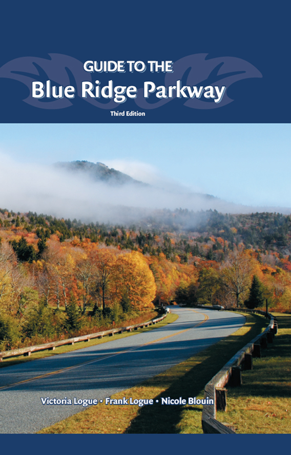
As your car leans around a bend in the Parkway lined with a bank of rhododendrons, yet another picture-perfect panoramic view opens up before you. Alternating between cool creeks shaded by oaks and pines to high mountain meadows with broad vistas, the Blue Ridge Parkway offers a visual delight at every turn. It is easy to imagine that this road was simply placed on a course through the already scenic Appalachian Mountains, but in reality, the Parkway is a much more ambitious project and the result of hard work on the part of a number of talented landscape architects and engineers. In December of 1933, Stanley W. Abbott, the first resident landscape architect and primary designer of the Blue Ridge Parkway, began working with a ten-league canvas and a brush of a comets tail, as he put it.
When Abbott first saw what he had to work with, he reported, Few of the showplaces of the parkway environs remain in an unspoiled natural state. Planners faced land destroyed by clear cutting, cultivated farmland, and streams and rivers that ran brown due to erosion. Before the scenic beauty of the Parkway could be enjoyed, it had to be re-created, almost from scratch, as far as the bushes, trees, and lakes were concerned.
During that creation process, the 469-mile Parkway was designed to be a drive awhile, stop awhile recreation opportunity. To make this dream a reality, the route for the Parkway was carefully selected to emphasize scenic and historic areas. Scattered along its length were parks, historic sites, and other points of interest. Abbott referred to the roadway as the chain of a necklace, the parks and historic sites as bright jewels. For example, after leaving Cumberland Knob Visitor Center at the North CarolinaVirginia border, you will travel nearly 21 miles south, passing only overlooks and road crossings before reaching yet another jewel: Doughton Park. Each jewel offers a variety of recreational opportunities, including hiking trails, living-history demonstrations, interpretive information, picnic and camping facilities, and much more, creating a number of pleasant day drives along its route.
So pack a picnic basket, pile in the car, and come drive awhile, stop awhile.
GEOLOGY AND GEOGRAPHY
From Shenandoah National Park in Virginia to the Great Smoky Mountains in western North Carolina, the Blue Ridge Parkway covers 469 miles217 miles in Virginia, 252 in North Carolina. The Parkway begins at Rockfish Gap in Virginia, and for the next 355 miles, it leads south as it follows the Blue Ridge Mountains, the eastern bastion of the Appalachians. The Parkway leaves the Blue Ridge at Ridge Junction (milepost 355.3), skirting the southern edge of the Black Mountains before passing through the Great Craggy Range. From there, the Parkway descends to the valley of the French Broad River then climbs toward the summits of Pisgah Ledge and the Great Balsam Mountains en route to the Smokies.
the Black Mountains and the nearby Balsam and Smoky mountains are home to 41 mountain peaks above 6,000 feet
The Appalachian Mountains, through which the Parkway travels, were formed at the close of the Permian period more than 230 million years ago. At that time, the mountains towered more than 40,000 feet above sea level, more than 10,000 feet higher than Mount Everest. When the rocks were first formed in the Cambrian-Precambrian period (500 million to 1 billion years ago), they were laid down in a marine environment as thick beds of sedimentary rocks such as sandstone and shale. When the mountain uplift began at the end of the Permian age, heat and pressure transformed the sedimentary rocks into the metamorphic rocksquartzite, schist, gneiss, marble, and slatethat you now see.
The Appalachians reveal an intricate series of folding and faulting as well as igneous intrusions. Vast sections of the mountains have undergone a minimum of three cycles of erosion to the level of peneplain, that is, reduced almost to a plain by erosion. Between each of these erosion cycles, the mountains were uplifted. This uplift is still occurring at the rate of about 1.5 inches every 1,000 years.
If you travel the entire Parkway from Rockfish Gap to the Oconaluftee River, you will traverse an area of diversified topography. From Rockfish Gap to Roanoke, Virginia, you will follow a master ridge with a number of spurs that bend parallel to the master ridge and often surpass it in height. To the east of this master ridge are the Piedmont lowlands; to the west, the Great Valley. On the other side of the Great Valley rise the Alleghenies.
From the Roanoke Valley south to where the Parkway leaves the Blue Ridge, you will pass through an extended plateau that unfolds to the west of the crest of the Blue Ridge. The rolling hills are the result of an uplifted peneplain. You will also see gently rounded knobs (monadnocks) dotting the landscape, prominent above the farmland. To the east, a steep slope plummets to the Piedmont. Here and there, finger ridges stretch as much as a mile into these lowlands.
Immense parallel ridges and their spurs are broken up by narrow valleys from the Black Mountains to the Smokies. Many summits rise to greater than 6,000 feet, a difference of more than 4,000 feet above the valleys.
Next page
