POSTCARD HISTORY SERIES
The Blue Ridge
Mountains of
North Carolina
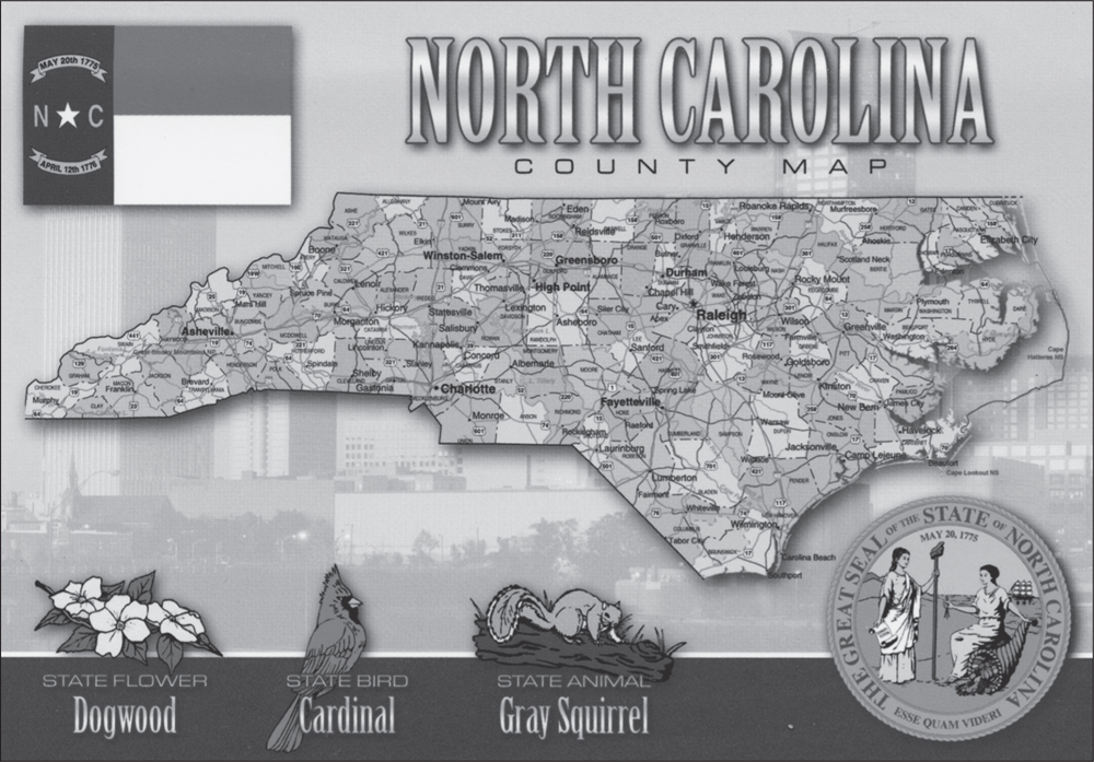
NORTH CAROLINA COUNTY MAP. This glossy postcard shows each of North Carolinas 100 counties. This vintage postcard book covers the 23 most western of those counties. Those counties are either mountainous or a combination of mountains and terrain that gradually descends to the Piedmont section of the state. Those transitional counties are known as the foothills. (Authors collection.)
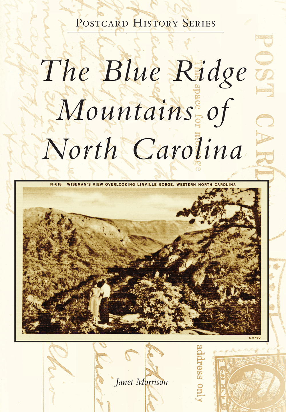
ON THE FRONT COVER: WISEMANS VIEW OVERLOOKING LINVILLE GORGE. From Wisemans View, one can see Table Rock Mountain, Hawksbill Mountain, the Chimneys, and Sitting Bear Mountain. Linville River flows at the base of the gorge. Wisemans View, which is accessed via old NC Highway 105 and was named for Lafayette Wiseman, is a favorite place from which to see the mysterious Brown Mountain Lights. This is a linen-finish postcard. (Authors collection.)
ON THE BACK COVER: MOTHER BLACK BEAR WITH CUBS. A mother black bear usually gives birth to two or three cubs every other winter. The Great Smoky Mountains range boasts an impressive variety of animal species: 66 mammals, more than 240 birds, 43 amphibians, 60 fish, and 40 reptiles. This is a linen-finish postcard. (Authors collection.)
POSTCARD HISTORY SERIES
The Blue Ridge
Mountains of
North Carolina
Janet Morrison

Copyright 2014 by Janet Morrison
ISBN 978-1-4671-2210-8
Ebook ISBN 9781439646892
Published by Arcadia Publishing
Charleston, South Carolina
Library of Congress Control Number: 2013957397
For all general information contact Arcadia Publishing at:
Telephone 843-853-2070
Fax 843-853-0044
E-mail
For customer service and orders:
Toll-Free 1-888-313-2665
Visit us on the Internet at www.arcadiapublishing.com
This book is dedicated to the memory of the late Lila Mae Dulin. This dear aunt was the closest thing to a grandmother I ever had. I inherited her love for postcards, and in her later years, I received her extensive postcard collection. If not for her collection, this book would not have been possible.
CONTENTS
ACKNOWLEDGMENTS
Many individuals helped make this book of vintage postcards possible. Some pointed me in the direction I needed to go in order to do my own research, while others sent me quotes from books I did not have at my disposal.
Phyllis Ciano, museum coordinator at Banner House Museum in Banner Elk, North Carolina, graciously sent me background information about the Pinnacle Inn. The details she sent me from Banner Elk, North Carolina: A Guide to the Town and Its Historic Places, compiled by the Greater Banner Elk Heritage Foundation and financed through the Banner Elk Tourism and Development Authority, enabled me to include my two Pinnacle Inn postcards in this book.
Bonnie Hillyer of Harrisburg, North Carolina, helped me find the information I needed in order to write the history of some of the buildings at Lake Junaluska Conference and Retreat Center.
Shannon Ames, director of community and stockholder relations for Brookfield Renewable Energy Group in Marlborough, Massachusetts, verified that a postcard labeled as Topoco Dam was actually Cheoah Dam. Without her assistance, I would have been on shaky ground to include that postcard in the book.
I owe my sister, Marie Morrison of Harrisburg, North Carolina, a debt of gratitude for her moral support, proofreading, and patience as I worked on this book. I dominated our computer for weeks on end, and she never once complained about that or the stacks of postcards all over the house. All images appear courtesy of the author, and all images were originally in color except where noted.
INTRODUCTION
The Blue Ridge Mountains, which once served as a physical barrier between North Carolina and the great unknown, now beckon visitors from all over the world. Running along the ridge of the Blue Ridge Mountains, the Blue Ridge Parkway appears to hold the mountains together like a ribbon on a precious package.
A wide range of plants and wildlife inhabits the mountains, some of which are found nowhere else on earth. These mountains are sprinkled with some of the most rugged gorges, beautiful waterfalls, and highest peaks in the Eastern United States. National forests cover more than a million acres in the region.
The parkway was a gift that the greatest generation gave to the people of the United States. Although it displaced families, subsequent generations have enjoyed the peace and quiet, solitude, and beautiful vistas provided by the road and its right-of-way, which are maintained by the National Park Service. Begun in 1935, the majority of the construction work was done by private companies under federal contract; however, members of several Civilian Conservation Corps camps did much landscaping and cleanup.
The topography of Western North Carolina provides a healthy habitat for many plants and animals. The climate offers lowlanders a respite from summer heat and snow skiers frostbite warnings in the winter. Such extremes in weather conditions have produced a rugged native population that is a mixture of Eastern Band Cherokee Indians, whose ancestors lived in harmony with nature for centuries, and the descendants of Scots-Irish settlers of the 18th century.
The Appalachian and Blue Ridge Mountains of North Carolina can be divided by subranges and other natural divisions. For this book, the 23 counties in the western part of the state have been divided into seven chapters.
The focuses on the northwestern corner of the state, which has adopted the name High Country. This section is home to a number of ski resorts and such iconic attractions as Grandfather Mountain and Mount Mitchell. The Black Mountains, which get their name from the dark green spruce and fir that give them a dark look from a distance, provide the highest elevations in this section of the Blue Ridge Mountains.
The region of the Blue Ridge Mountains south of Mount Mitchell adopted the label Land of the Sky early in the 20th century and is the focus of the . Asheville is the crown jewel of the area.
The of this book looks at the Great Balsams and Plott Balsams, two subranges of the Blue Ridge Mountains. The Great Balsams range is named for the spruce and fir trees found there. The Blue Ridge Parkway reaches its highest elevation at Richland Balsam in the Great Balsams. The Blue Ridge Parkway ends (or begins, if one is traveling north) at Soco Gap in the Plott Balsams.
Great Smoky Mountains National Park and the Qualla Boundary are the focus of the . Although Great Smoky Mountains National Park straddles the North Carolina-Tennessee state line, the entire park is included in this book. The Qualla Boundary is the home of the Eastern Band Cherokee Indians. It is not a reservation. It is land held in trust by the federal government. The Cherokee people have made these mountains their home since ancient times, and their language has played heavily in the naming of places in the western part of the state.
A movement to establish a national park in the Great Smoky Mountains took hold in the 1920s but creating the park was not simple. Its 800 square miles or 507,869 acres lie in North Carolina and Tennessee and consist of 6,600 private tracts of land.
Both those states and private citizens donated millions of dollars to create Great Smoky Mountains National Park. It was the first national park given to the US government by the people. It seems appropriate, therefore, that it is the most visited national park in the country.
Next page


