ABOUT THE AUTHOR
Andrew Kyle Saucier is a freelance writer and photographer specializing in travel and the outdoors in the American Southeast. He lives in Chapel Hill, Tennessee.
ABOUT THE PHOTOGRAPHER
Tony Sweet is an award-winning photographer who offers photography workshops across the country, including in GSMNP, which he has photographed extensively. He is the author of five how-to books published by Stackpole. He lives in Eldersburg, Maryland.
Newfound Gap Road
If you only had a single afternoon to spend in Great Smoky Mountains National Park, youre likely to have taken one of two drives: the Cades Cove Loop or Newfound Gap Road. Newfound Gap Road, US-441, runs between Gatlinburg, Tennessee, and Cherokee, North Carolina, bisecting the deep heart of the Great Smoky Mountains and transporting motorists up, over, and back down the very spine of Appalachia itself.
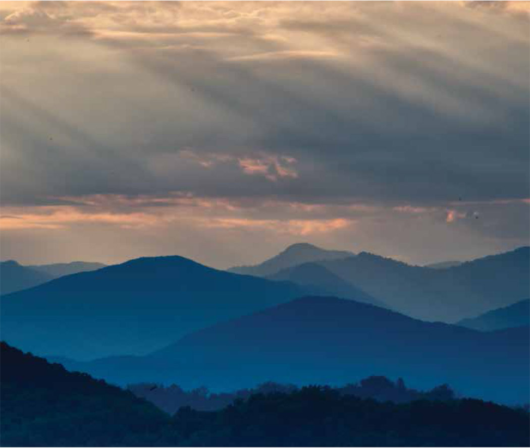
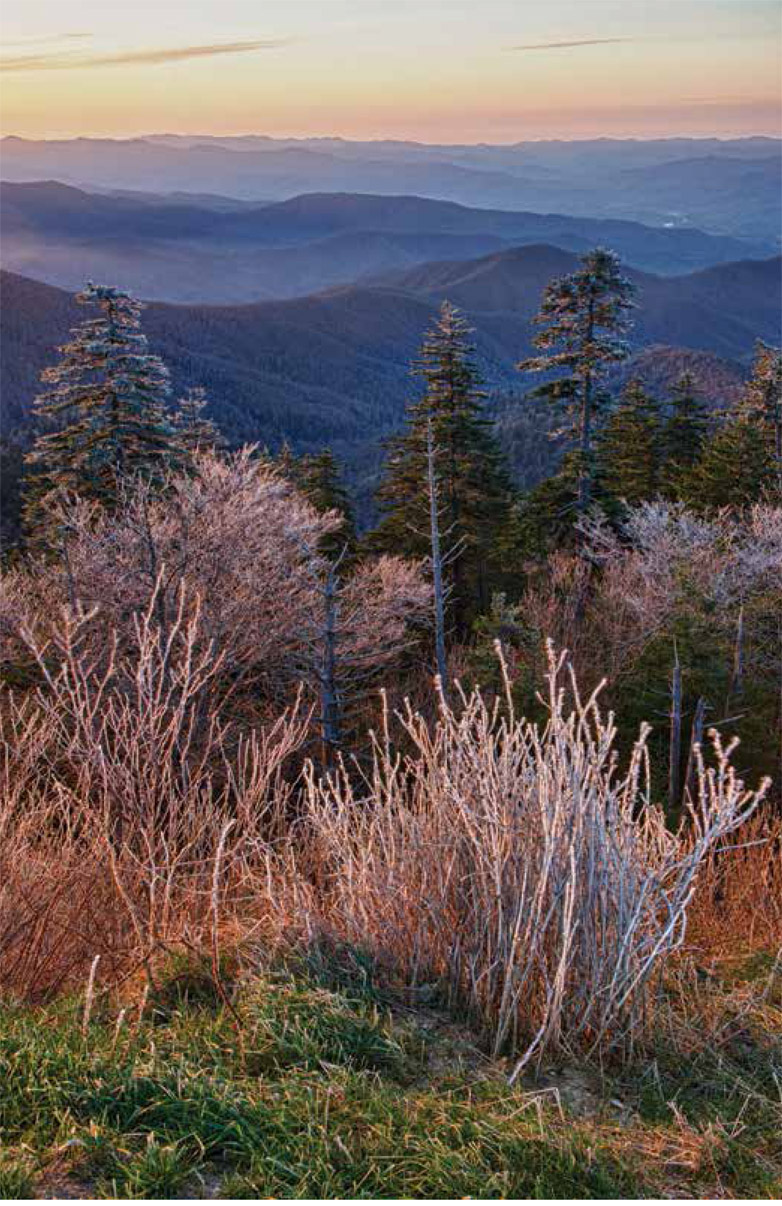
Newfound Gap Road is constructed to allow visitors to travel with the landscape, not straight through it. It traverses some of the most spectacular scenery viewable from the comfort of a car. All along the wayside, pull-offs offer travelers a chance to stand at vistas of incredible elevation. The panoramic Appalachian landscape of serrated ridges and recessed valleys pale from blue to gray until they literally vanish beyond what the eye can see. The road culminates at Newfound Gap itself, right on the Tennessee-North Carolina line. Here, at this relatively low gap in the mountains for which the road is named, visitors stand at an elevation of approximately 5,046 feet above sea level.
The road was completed around 1932, and at the Newfound Gap parking lot stands the Rockefeller Memorial, where Franklin D. Roosevelt dedicated the park in September of 1940. During his speech, Roosevelt said, It is good and right that we should conserve these mountain heights of the old frontier for the benefit of the American people.
All these decades later, we recognize that it was not only for the benefit of the American people that these mountain heights were conserved, but for the benefit of the entire world.
Clingmans Dome
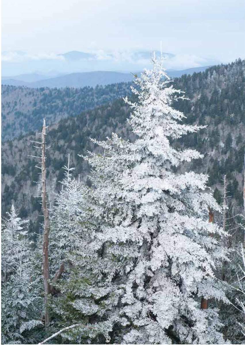
A spur of Newfound Gap Road is the skyway to Clingmans Dome. At roughly 6,643 feet above sea level, travelers enter into an entirely different climate than in the valleys down below. Clingmans Dome is the highest point in the national park, as well as in the state of Tennessee. At the very pinnacle stands the famed concrete observation tower, constructed to replace the wooden tower built here by the Civilian Conservation Corps.
On a rainy day, you may very well find yourself shrouded by the very clouds themselves. On a clear day, the immensity of the 360-degree view begs description. The visible world seems to disappear over the horizon, as if you could actually see the curvature of the Earth.
Cades Cove
They came from old pioneer stock. Generations who, by toil and sweat, worked the sun down into the western sky, taming this isolated wilderness. Tree by tree, their forebears cleared the woodlands in the valley to raise crops and graze livestock. They were removed from the rest of the world except for the rugged mountain roads that had in previous generations been warpaths and hunting trails of the Cherokee. By and by they created a thriving community in Cades Cove. They had simple homesteads in which to raise their families, and churches in which to worship. There were roads that led to Maryville and into Western North Carolina.
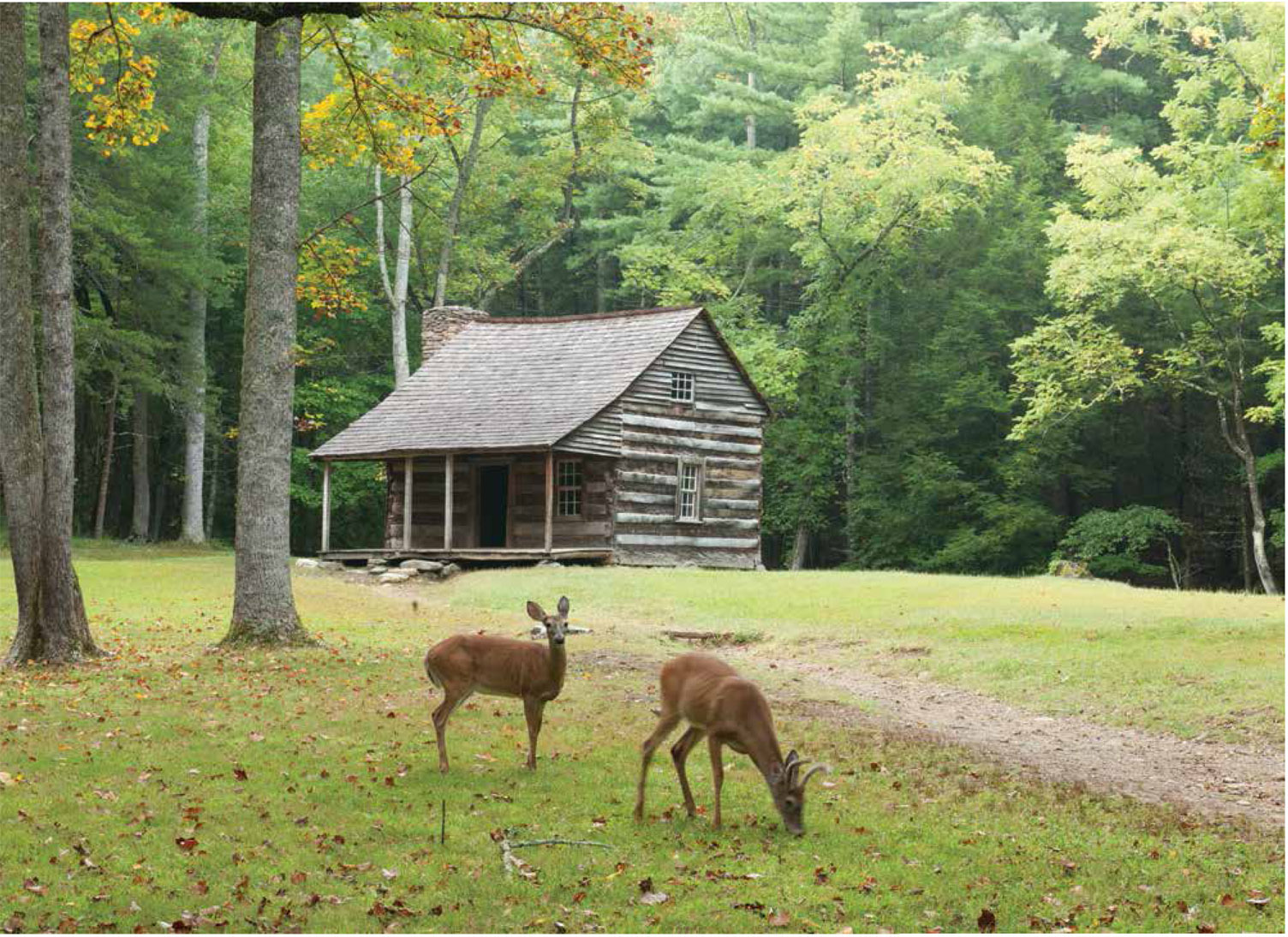
The year that Tennessee became a state, present-day Cades Cove was still part of the Cherokee Nation, and it remained so until some date between 1818 and 1821. But it was not long until the European-turned-American settlers came, and their descendants continuously inhabited the Cove for nearly 115 years between settlement and the creation of the park. Then the federal and state governments began buying land tracts from the residents of the Cove. As the families moved away one by one, they left behind the structures that had made up their communities, and to this day, the National Park Service maintains the ones that did not fall and has reconstructed many of the ones that did.
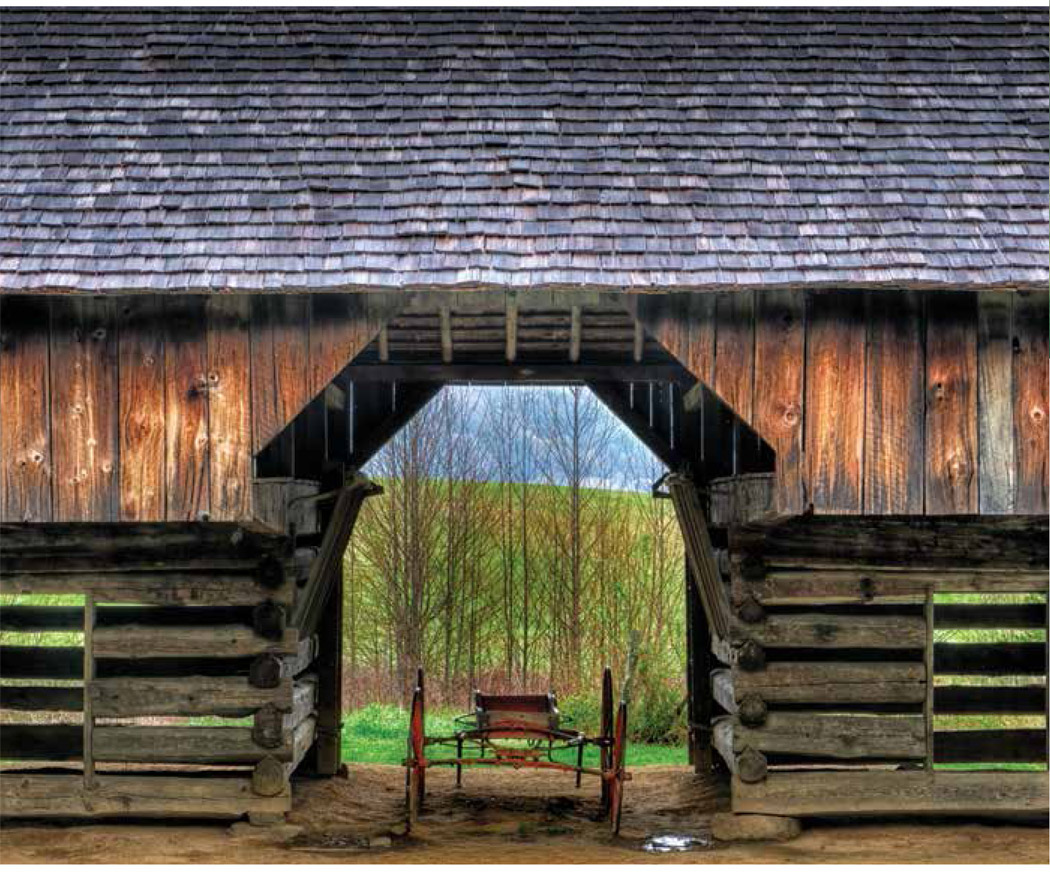
Undoubtedly the most popular park activity, the Cades Cove Loop scenic drive meanders through the community that once thrived herepast a working gristmill, barns of various styles, log homesteads, and churches of several Christian denominations. These structures tell the stories of the people who are now long gone.
The Wildflowers
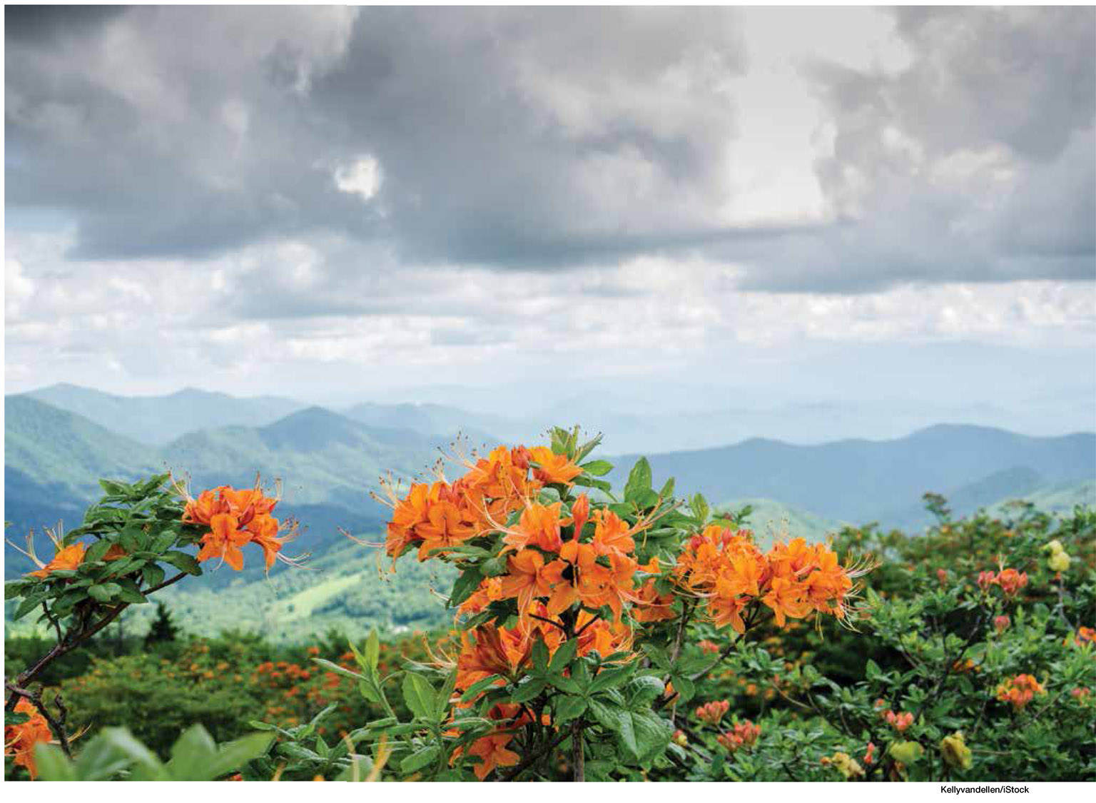
The Great Smoky Mountains wildflower displays are renowned worldwide. Each spring, a wave of blooms sweeps over the park. Typically, they peak around mid-April, but as with the fall foliage, this cannot be taken as gospel. Several factors affect the timing each year. Yet you can count on one hard-and-fast rule to help pinpoint this event: While several species bloom all summer, many of the wildflowers most vibrant colors begin to fade as the trees fill in with leaves.
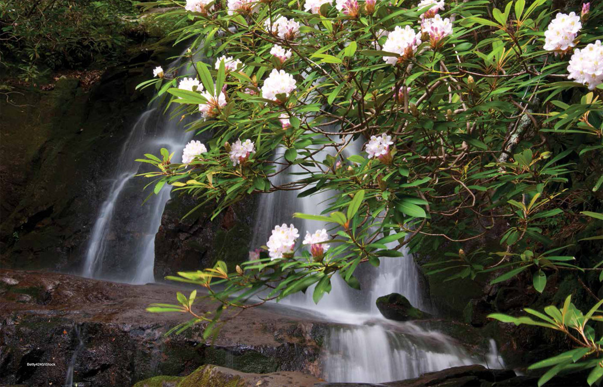
It is said that there are more kinds of flowering plants in the Great Smoky Mountains than in any other national park, and while the Smokies are particularly well known for their incredible mountain laurel, flame azalea, and rhododendron, the National Park Service estimates that the total number of flowering plant species exceeds 1,600.


