CONTENTS
Ships, Clocks & Stars: The Quest for Longitude
Directors Foreword
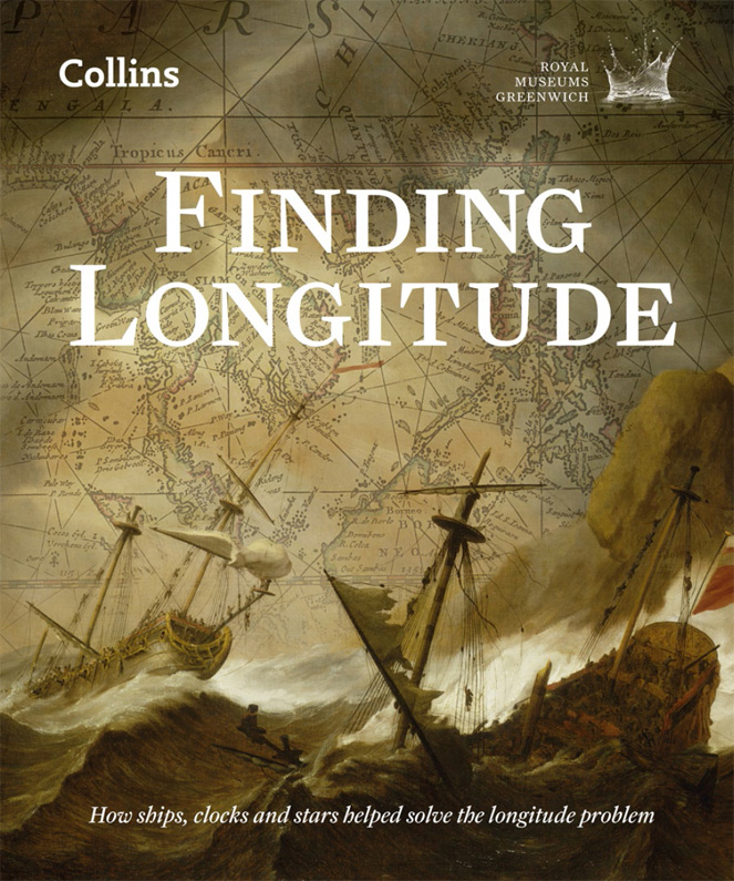
L ongitude is central to the stories of navigation and discovery told by the National Maritime Museum since it opened in 1937. It gained even greater importance to us in the 1950s, when we assumed responsibility for the Royal Observatory, itself founded expressly to help solve the longitude problem. It is most appropriate and a great pleasure, therefore, to be able to commemorate the tercentenary of the first Longitude Act of 1714 with an ambitious exhibition and this new book, both of which tell what is an extraordinary story for twenty-first century audiences.
The famous Harrison timekeepers are, naturally, central to it and have been a draw for visitors since coming to the Museum in time for its opening in 1937. In thinking about them in this tercentenary year, it has been fascinating to look afresh at the often fraught events that first brought them to Greenwich nearly 250 years ago, and at their broader context as part of the longitude story as a whole.
I would like to thank the authors for their efforts in researching and writing this book. Their work has been possible thanks to a major research project on the history of the Board of Longitude, run in collaboration with the Department of History and Philosophy of Science at the University of Cambridge and funded by the Arts and Humanities Research Council, to whom we are most grateful. I should also like to thank United Technologies, which has supported the exhibition so generously. Together, the book and exhibition present an extraordinary story of innovation, creativity and competition that changed how we understand our world.
DR KEVIN FEWSTER AM FRSA
ROYAL MUSEUMS GREENWICH
Sponsor Statement
I nnovation is timeless. Yesterdays ideas form the foundation for todays inventions, which power tomorrows solutions. At United Technologies, we are proud of our long history of pioneering innovation to make modern life possible. We understand the relentless drive of those who sought to solve the longitude problem. Its the same drive that pushes us to solve todays global challenges. In this spirit of innovation, we are delighted to sponsor the exhibition Ships, Clocks & Stars: The Quest for Longitude. We hope you are inspired by this great story.
LOUIS R. CHNEVERT
CHAIRMAN & CEO,
UNITED TECHNOLOGIES CORPORATION
Ships, Clocks & Stars: The Quest for Longitude
Foreword
T he Longitude Act of 1714 was an extraordinary event, an unprecedented moment when natural philosophers put a scientific problem on the political and national agenda. Their success was evident in the speed with which Parliament took up the call to action, and in the large rewards that the Act offered sums that could be life-changing for the winners. More important, the potential rewards would incentivize energetic and ingenious efforts to meet the challenge, and the measurement of longitude was indeed the number-one technical challenge for a maritime nation.
The Act was also notable in creating a diverse group of experts, the Commissioners of Longitude, who brought together Britains naval, political, academic and scientific interests. The Commissioners constituted what was in effect the first research council, aimed at rewarding invention and innovation. And although it is best known for the long-delayed recognition of Harrisons achievements, the Commission remained in existence for more than a century, rewarding other ingenious inventions and explorations.
The ex-officio members of the Commission included the Astronomer Royal, the President of the Royal Society, and a Cambridge professor. As the fifteenth Astronomer Royal, as well as a former holder of the other offices, I have special historic links with the Commission (Astronomer Royal is now, however, just an honorary title, without any formal link with Greenwich). I am therefore delighted that the 300th anniversary of the Longitude Act should be marked by a splendid exhibition at the National Maritime Museum. This fine book accompanies the exhibition. It tells the story of the search for practical ways of determining longitude while on a ship at sea, a quest that many considered to be as hopeless as the search for perpetual motion or eternal life. Yet the problem was effectively solved in the eighteenth century, largely by British artisans and philosophers.
This book takes a broad view of the subject, tracing the history from the attempts of the sixteenth and seventeenth centuries, some of which seemed genuinely promising, to the mid-nineteenth century, by which time new techniques for measuring longitude at sea had been embedded in naval routines. These advances helped create a better understanding of the world through improved charting, in which British surveyors and ships were a major force.
The story is also about problem-solving the process of identifying a problem, exploring different options to overcome it, and then bringing workable solutions to a state where they can be used by all. Clock- and watchmakers including John Harrison, John Arnold and Thomas Earnshaw, and astronomers including Edmond Halley and Nevil Maskelyne, all feature prominently. But it is also a story that shows that the most difficult technical problems are not solved instantaneously: they usually require huge efforts over a long time to become a part of everyday life, often necessitating what we would now call public/private partnership whereby the state offers support to inventors and entrepreneurs. Thanks to the priority given to the longitude challenge, London became a crucial centre for the development and discussion of ideas, instruments and techniques that would underpin major changes in seafaring, which was Britains lifeblood.
MARTIN REES, ASTRONOMER ROYAL
it is well known by all that are acquainted with the Art of Navigation, That nothing is so much wanted and desired at Sea, as the Discovery of the Longitude, for the Safety and Quickness of Voyages, the Preservation of ships, and the Lives of Men.
An Act for providing a Publick Reward for such Person or Persons as shall discover the Longitude at Sea (1714)
I n 1494, Spain and Portugal partitioned the world. Under the Treaty of Tordesillas, signed that year, a line 370 leagues west of the Cape Verde and Azores islands split the globe from pole to pole. Lands discovered to the west of the line would belong to Spain, those to the east to Portugal. Eastwest position longitude had become territorial. Yet the treaty did not explain which of the islands was to be used to determine the lines position, or how to translate leagues (roughly three miles) into degrees and so decide whether new discoveries lay to east or west. Portugal also assigned more leagues to a degree of longitude than did Spain, placing more territory under its domain. Moreover, the Treaty had effect only in the Atlantic hemisphere and things became even more difficult when both nations reached the East Indies. Within a few years, matters came to a head there over possession of the Moluccas, the Spice Islands. The struggle for the control of the lucrative spice trade was intense, and the conflict between Spain and Portugal was only resolved in 1529 by the Treaty of Saragossa, which specified an equivalent dividing line in the East. Global positioning was, even then, a serious political matter.
This book is an account of how the determination of longitude at sea became feasible, and of how global positions could be agreed and the world known with greater clarity. On the one hand, it is a tale of seafaring, time and astronomy; on the other, it concerns commerce, competition and conflict, exploration and empire. The longitude problem, as it has become known, was a technical challenge that taxed the minds of many of the great thinkers of the Renaissance and Enlightenment. Galileo Galilei, Christiaan Huygens and Isaac Newton all grappled with it as a puzzle that seemed insoluble. Finding the longitude became a ridiculous quest only to be undertaken by the deluded, until the simultaneous development in the late eighteenth century of two practicable, complementary means of fixing a ships position changed everything. These methods gradually came into use, both for routine navigation and for creating better charts of the worlds oceans and coastlines, mapping the Earth in ways that had been inconceivable in 1494.

