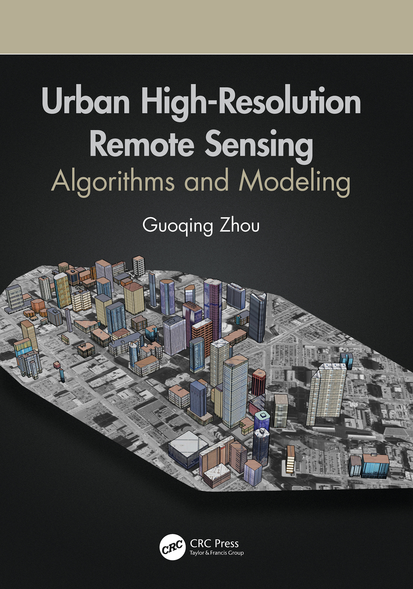
Urban High-Resolution Remote Sensing
MATLAB is a trademark of The MathWorks, Inc. and is used with permission. The MathWorks does not warrant the accuracy of the text or exercises in this book. This books use or discussion of MATLAB software or related products does not constitute endorsement or sponsorship by The MathWorks of a particular pedagogical approach or particular use of the MATLAB software.
First edition published 2021
by CRC Press
6000 Broken Sound Parkway NW, Suite 300, Boca Raton, FL 33487-2742
and by CRC Press
2 Park Square, Milton Park, Abingdon, Oxon, OX14 4RN
2021 Taylor & Francis Group, LLC
CRC Press is an imprint of Taylor & Francis Group, LLC
Reasonable efforts have been made to publish reliable data and information, but the author and publisher cannot assume responsibility for the validity of all materials or the consequences of their use. The authors and publishers have attempted to trace the copyright holders of all material reproduced in this publication and apologize to copyright holders if permission to publish in this form has not been obtained. If any copyright material has not been acknowledged please write and let us know so we may rectify in any future reprint.
Except as permitted under U.S. Copyright Law, no part of this book may be reprinted, reproduced, transmitted, or utilized in any form by any electronic, mechanical, or other means, now known or hereafter invented, including photocopying, microfilming, and recording, or in any information storage or retrieval system, without written permission from the publishers.
For permission to photocopy or use material electronically from this work, access
Trademark notice: Product or corporate names may be trademarks or registered trademarks, and are used only for identification and explanation without intent to infringe.
Library of Congress Cataloging-in-Publication Data
ISBN: 978-0-367-85750-9 (hbk)
ISBN: 978-1-003-08243-9 (ebk)
Typeset in Times
by SPi Global, India
We humans have drawn maps in sand, on clay, parchment, and paper, and now on computer screens and as holograms. More impressively, we have the spatio-temporal information in various types of databases available for complex computer analysis. This is important because our increasing population puts ever greater demands on our natural and societal resources. Better data and more complex analyses are needed to help meet those demands.
As our population has grown, our demographics have shifted increasingly toward greater concentrations of people. The World Bank estimated that the global population distribution shifted from being mostly rural to mostly urban in 2007. We have added an ever-expanding number of population centers and have grown many of them outward, upward, and downward to accommodate our population, industry, and commerce.
What is it that changes? Of course, the number of people changes. Whether there is growth or decline, the urban features change to accommodate it. How we use the land changes. Transportation networks grow or evolve to accommodate new needs. Communications networks adapt to new technologies. Buildings become taller or alter shape to adapt to physical conditions and changing architectural capabilities and aesthetics. Obtaining, maintaining, interpreting, and using information about these changes is a never-ending task.
In this book, High-Resolution Urban Remote Sensing: Algorithms and Methods, Guoqing Zhou presents remote sensing techniques to help ensure the quality of data and effectiveness of analysis to address some of the issues that have emerged in our growing urban infrastructure. He provides tested algorithms and experimentally proven mathematical models that give the student in remote sensing an excellent base of expertise on which to build. The book is also a useful reference for the seasoned remote sensing scientist and geospatial expert. It gives users of geospatial information in urban areas ideas of some things that can be done with remote sensing to help address questions about the urban physical condition, as well as mathematical tools that help meet some of their analytical needs.
Dr. Zhou has invested his career in advancing our knowledge of high-resolution remote sensing, developing new methods and applications, and passing that knowledge on to his students and other scientists around the world. He has been selfless in sharing his knowledge with all of us.
John A. Kelmelis, PhD, GISP
Board of Directors, GIS Certification Institute
Chief Scientist for Geography, US Geological Survey (retired)
Senior Counselor for Earth Science, US Department of State (retired)
Professor, the Pennsylvania State University (retired)
With increasing interest in and requests for applications of remote sensing in urban areas, the development of urban remote sensing algorithms and methodologies driven by applications from different fields has become imperative. In addition to the traditional fields of application such as land use and cover and environmental pollution monitoring, remote sensing has been widely applied in other fields such as micro-climate analysis, cell phone planning, and socioeconomic analysis.
The objective of this book is to provide readers with algorithms and methods with an emphasis on urban three-dimensional modeling, urban orthophotomap generation, and urban feature extraction from high-resolution urban remotely sensed imagery. On the other hand, it has been observed that none of the eight published books relevant to urban remote sensing has specially presented algorithms and methods relevant to urban 3D modeling, orthophotomap generation, and feature extractions. Therefore, another objective of this book is to compensate for the gap.
When we talk about urban remote sensing, we should NOT forget its roots. In the early nineteenth century, balloon-based aerial photography was applied in city monitoring and observations. Since that era, three major tasks in urban remote sensing are urban digital surface model (DSM) creation, including digital terrain models (DTM), orthophotomap generation, and feature extractions. The book therefore presents novel developments of methods and algorithms surrounding this root through dealing with various data resources, such as UAV-based aerial image video, LiDAR (light detection and ranging) data, high-resolution satellite imagery, and so on. Readers should be very interested in many novel algorithms and methods, such as high building orthorectification with self-constraints, deep learning neural networks for urban classification, co-location decision trees for urban classification. The arrangement of the book is below:
is an introduction to urban remote sensing fundamentals.
emphasizes the algorithms and methods of urban feature extractions, including DSM extraction, power line extraction, tree extraction, and car/vehicle extraction on the freeway using advanced methods such as co-location decision trees, and deep learning neural networks.
focuses on the algorithms and methods for urban orthophotomap generation, especially urban true orthorectification.
presents novel algorithms and methods for case applications, including soil surface moisture (SSM) retrieval and asphalt road aging monitoring.
I believe several features of the book will enhance its value as a textbook or reference book. First, the algorithms and methods described in this book are almost all for high-resolution imagery, that is, the ground sampling distance (GSD) is less than 1.0 meter. Second, the algorithms and methods presented in this book focus on the three traditional urban remote sensing products, namely, the 3D urban model, orthophotomap, and feature extraction. Third, both linear and sporadic reading are appropriate, in that sporadic readers can completely understand the essence of any chapter without needing to read all the previous chapters. Readers may therefore read the chapters relevant to his/her background. However, the chapters have a logical order, which is given above especially for various interested readers.


