The Complete Works of
STRABO
(c. 63 BCc. AD 24)
Contents

Delphi Classics 2016
Version 1

The Complete Works of
STRABO OF AMASEIA
By Delphi Classics, 2016
COPYRIGHT
Complete Works of Strabo
First published in the United Kingdom in 2016 by Delphi Classics.
Delphi Classics, 2016.
All rights reserved. No part of this publication may be reproduced, stored in a retrieval system, or transmitted, in any form or by any means, without the prior permission in writing of the publisher, nor be otherwise circulated in any form other than that in which it is published.
Delphi Classics
is an imprint of
Delphi Publishing Ltd
Hastings, East Sussex
United Kingdom
Contact: sales@delphiclassics.com
www.delphiclassics.com
The Translation
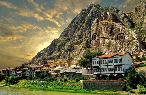
Amasya, a city in northern Turkey and the capital of Amasya Province, in the Black Sea Region Strabos birthplace
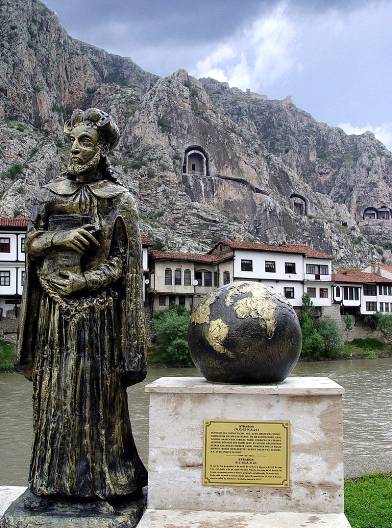
Statue of Strabo in Amasya
THE GEOGRAPHY

Translated by H. C. Hamilton and W. Falconer
Strabo was an Asiatic Greek of Amasia in Pontus and an educated citizen of the Roman empire, who visited Rome in 44 BC at age 19 or 20, apparently for purposes of education. He studied under various teachers, including Tyrannion, a captive educated Greek and private tutor, who also instructed Ciceros two sons. Strabos sole surviving work is (Geography), an encyclopaedia of geographical knowledge, consisting of seventeen books written in Greek. It is believed Strabo began work on the text no earlier than 20 BC and he travelled extensively, gathering notes and making extended visits to Rome and Alexandria, where he most likely spent time in the famous library gathering information from their sources. Geography was first published in 7 BC, followed by a gap, resumption of work and a final edition no later than AD 23, the last year of the authors life. Strabo probably worked on Geography and his now lost work on History at the same time, as the Geography contains a considerable amount of historical information.
Strabo explains geography as being the sea more than anything else that defines the contours of the land (gegraphei) and gives it its shape, by forming gulfs, deep seas, straits and likewise isthmuses, peninsulas, and promontories; but both the rivers and the mountains assist the seas herein. It is through such natural features that we gain a clear conception of continents, nations, favourable positions of cities and all the other diversified details with which our geographical map is filled. Strabo regards his subject as ancient physical geography, rather than the more modern understanding of the term, while chorography is viewed as political geography. The two concepts are combined in the book, making a broad survey of the earth, detailing both its physical and political features.
The text begins with two introductory books, before books III and IV concern Spain and Gaul; V and VI deal with Italy and Sicily; VII with north and east Europe; VIII to X with Greek lands; XIXIV with the main regions of Asia and with Asia Minor; XV with India and Iran; XVI with Assyria, Babylonia, Syria, and Arabia; and XVII with Egypt and Africa. The subjects of the seventeen books can be defined as:
- Book I definition and history of geography
- Book II mathematics of geography
- Book III Iberian peninsula
- Book IV Gaul, Britain, Alps
- Book V Italy to Campania
- Book VI south Italy, Sicily
- Book VII north, east and central Europe
- Book VIII Greece
- Book IX More on Greece
- Book X Yet more on Greece, Greek islands
- Book XI Russia east of the Don, the Transcaucasus, northwest Iran, Central Asia
- Book XII Anatolia
- Book XIII northern Aegean
- Book XIV eastern Aegean
- Book XV Persia, Ariana, the Indian subcontinent
- Book XVI the Middle East
- Book XVII North Africa
Although the work was rarely used in contemporary antiquity, a multitude of copies survived throughout the Byzantine Empire. It first appeared in Western Europe in Rome as a Latin translation issued c. 1469. The first Greek edition was published in 1516 in Venice. Isaac Casaubon, a classical scholar and editor of Greek texts, provided the first critical edition in 1587. Some thirty manuscripts of Geography or parts of it have survived, almost all of them from medieval copies of copies, though there are fragments from papyrus rolls which were probably copied out c. 100300 AD. Scholars have struggled for a century and a half to produce an accurate edition close to what Strabo originally wrote.
Though Strabo cites the antique Greek astronomers Eratosthenes and Hipparchus, acknowledging their astronomical and mathematical efforts towards geography, he claims that a descriptive approach to his task is more practical, as his works are designed for statesmen that were more anthropologically than numerically concerned with the character of countries and regions. As such, Geography provides a valuable source of information on the ancient world, especially as much of this information is corroborated by other sources.
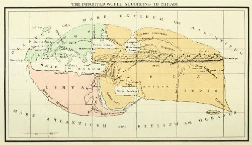
Map of the world according to Strabo, taken from the Loeb Classical Library edition of Strabo
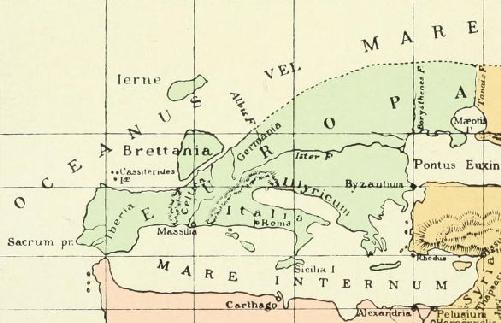
Map of Europe according to Strabo
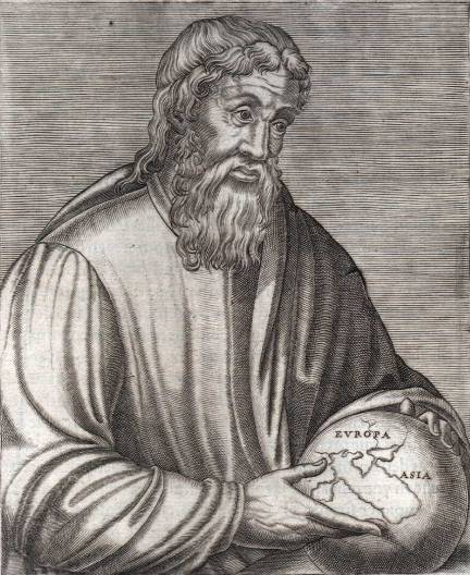
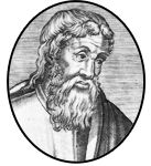
Strabo as depicted in a sixteenth century engraving
CONTENTS
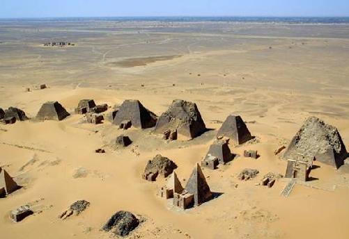
At Mero, pyramids of the Kushite rulers, near Shendi, Sudan in Book II Strabo states that one of the known limits of the Earth is Meroe, near the Nile.
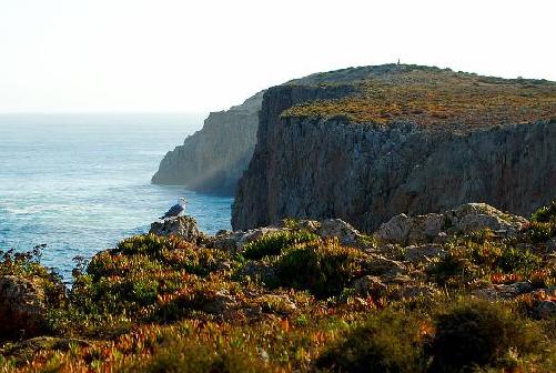
Sagres, Portugal in Book II Strabo records that the Sacred Cape is the westernmost point of the inhabited world.
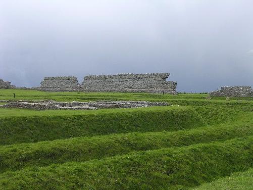
The ruins of Richborough castle, a Roman fort built in AD 275 Strabo surveys Britain in Book IV of his work.
Next page
