A B O U T T H E A U T H O R
Ed Cooper became the first climbing bum in the Pacific Northwest during the Golden age of North American climbing (the 1950s and 1960s). He is the author of the acclaimed Soul of the Heights and Soul of the Rockies (Falconguides), and his photos have graced the covers of Audubon, Arizona Highways, Backpacker, National Geographic, Sierra, and many other magazines and books. Ed and his wife, Debby, live in Sonoma, California.

S O U T H S I D E D R I V E
There are three major routes into Yosemite Valley from the west, which are used by most people visiting the valley. The other approach, from the east, goes over 9,945-foot (3,031m) Tioga Pass and is closed from about November to May, depending on the snowpack. All three western approaches (and the western end of the eastern approach) converge within a few miles of each other, at the western end of Yosemite Valley.
The majority of the drivable mileage within the valley is on one-way roads. All the approaches funnel vehicles onto Southside Drive on the south side of the Merced River, which is one way all the way to Curry Village at the east end of the developed valley floor. At this point the road crosses the Merced River on Stoneman Bridge and becomes the one-way Northside Drive heading west (with the exception of roads around Yosemite Village).
There are two exits from Southside Drive, one of which is a two-way road that crosses the Merced River on the Sentinel Bridge and leads to Yosemite Village, Yosemite Lodge, and the historic Ahwahnee Hotel. The other exit is at El Capitan Bridge, which leads to Northside Drive heading west out of the valley or loops back to Southside Drive at the Pohono Bridge.
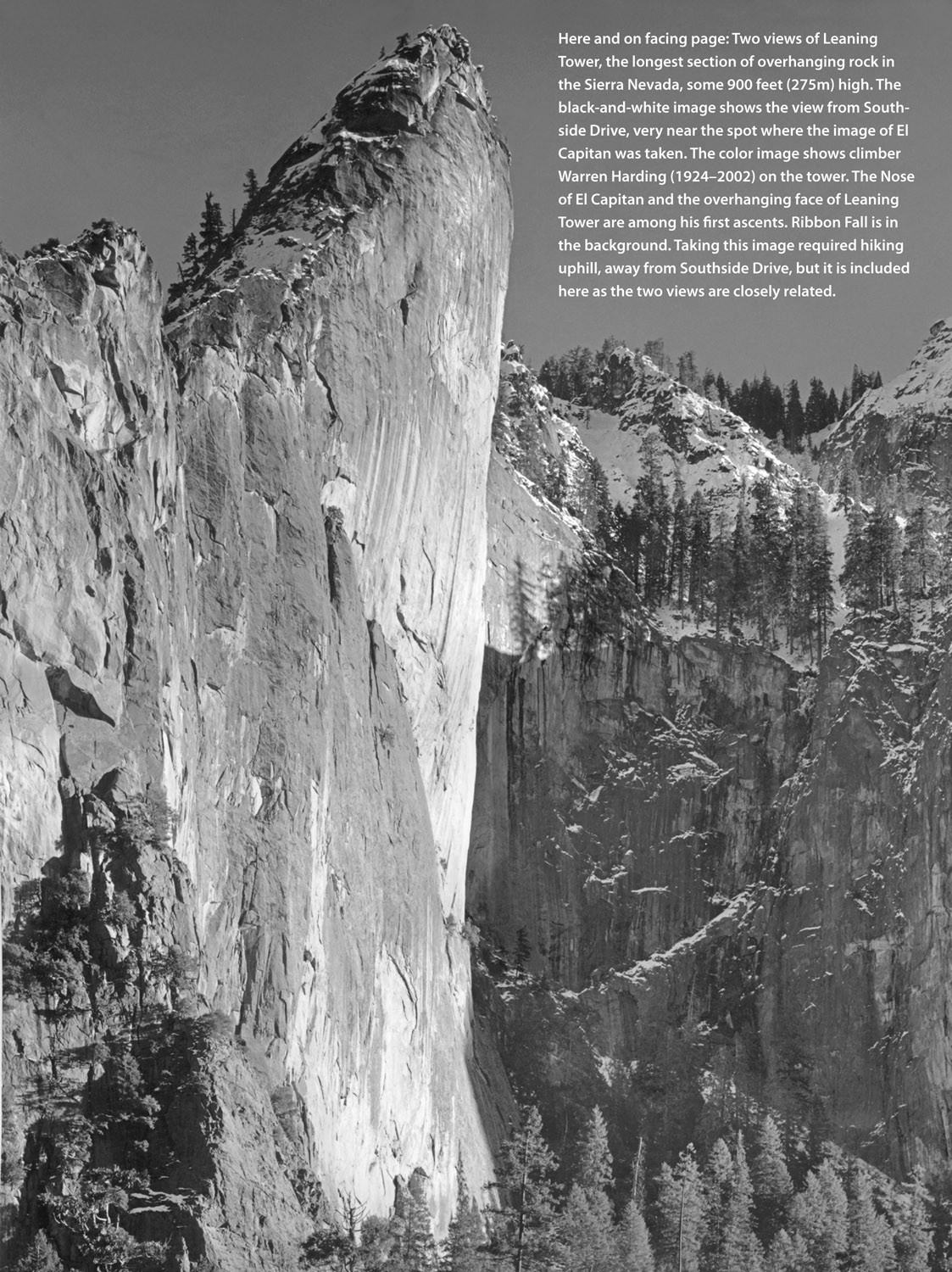
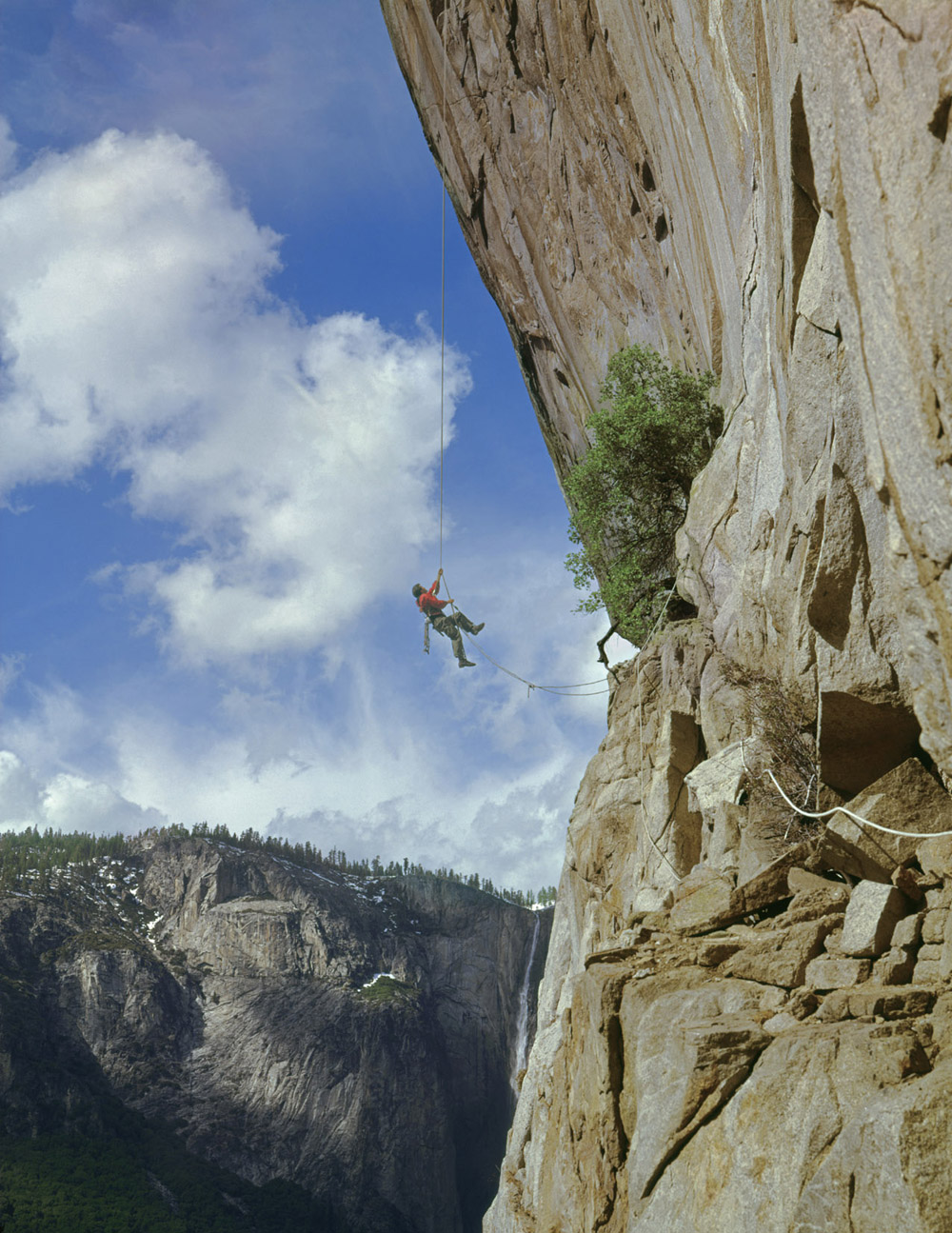
This section includes images taken along or close to Southside Drive as far as the Sentinel Bridge; they appear in the order that the viewer sees formations when driving along the road. Among the significant landforms showcased in this chapter are El Capitan, Bridalveil Fall, and Cathedral Rocks.
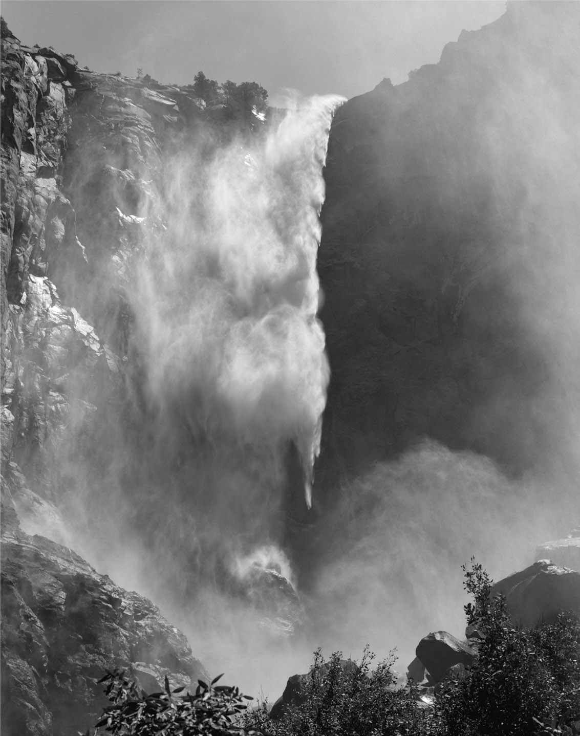
Rock and water! It doesnt get any better than this. Bridalveil Fall is located near the junction of Wawona Road and Southside Drive. This image is an outstanding portrait of the fall.
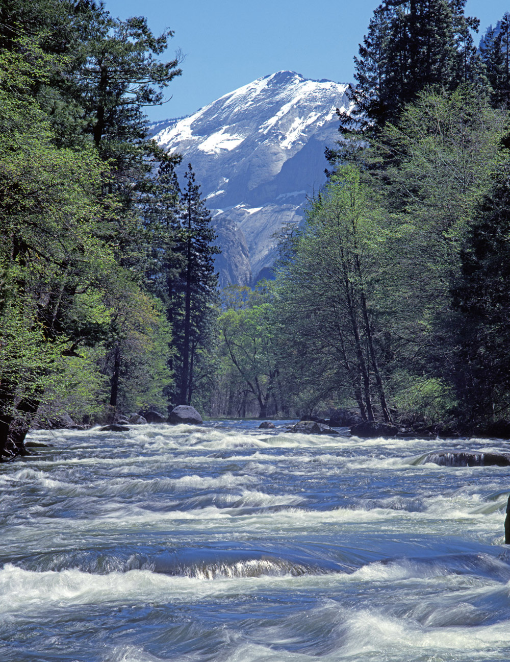
You will see this view, captured in springtime, just as you start to pass underneath the Cathedral Rocks, if you keep a sharp outlook on the Merced River to your left. Clouds Rest, 9,926 feet (3,025m), rises in the distance almost 5,000 feet above this point.
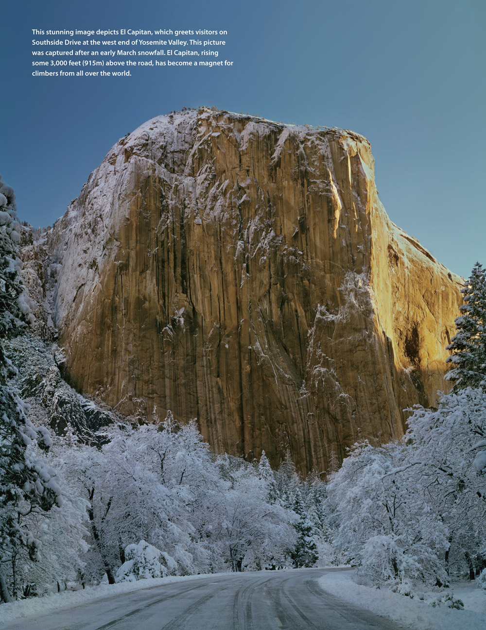
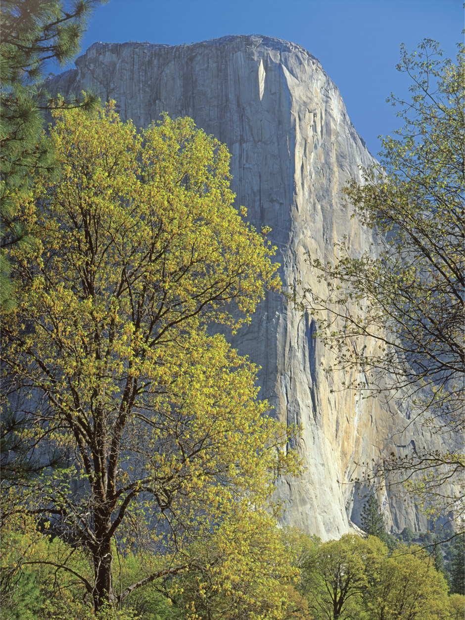
When you are underneath the Cathedral Rocks, you can see El Capitan and the Merced River through the trees. This area affords fine views. In this image, oak trees in spring are highlighted against El Capitan. The Nose divides the sunlit southwest face from the shaded southeast face.
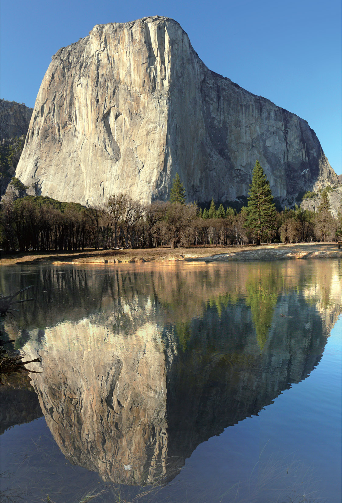
This early spring reflection view, taken on the Merced River near Cathedral Rocks, is possible only when water flow in the river is very low. This super wide-angle shot was created by stitching together six separate digital images.
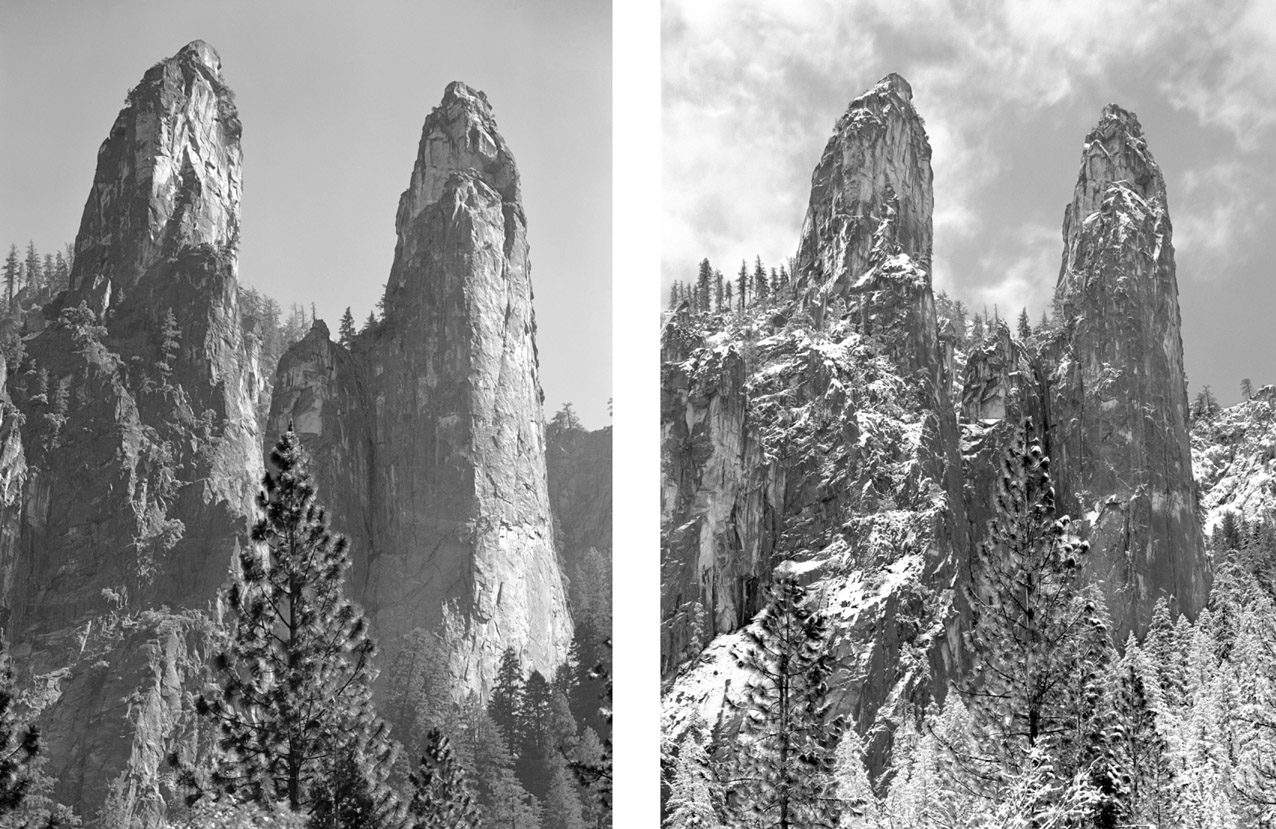
These two views of the Cathedral Spires were taken from a pullout near the junction of Southside Drive and the road over the Merced River at El Capitan Bridge. The summer view highlights the very steep northwest face of the Higher Cathedral Spire, on the right. The other view shows the spires in winter dress.
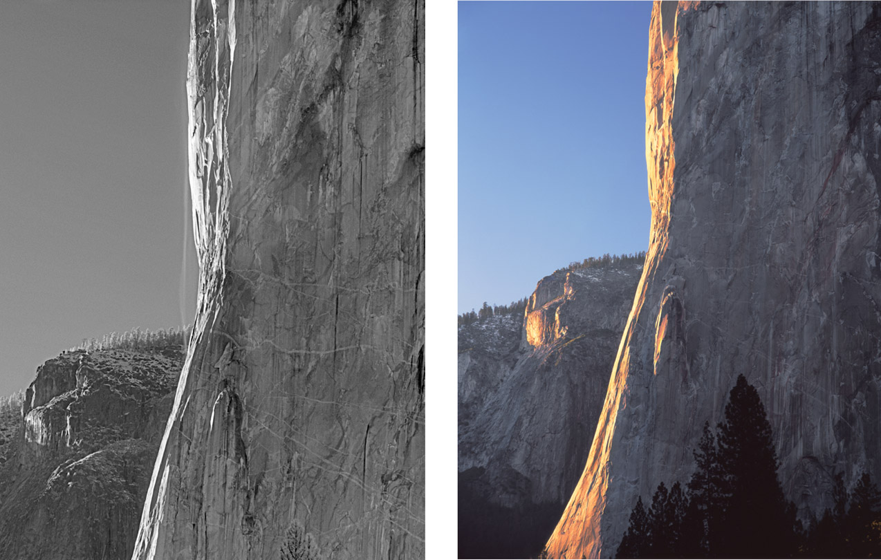
These two views, taken from El Capitan viewpoint on Southside Drive, show different aspects of the Nose of El Capitan. The black-and-white image shows the thin ribbon of the rare El Capitan Nose Waterfall, only active in spring in years of very heavy winter snowfall. The color image shows a sunset on the Nose, obtainable only in the fall and winter months when days are short. At that time of year, the sun sets much farther to the south so it doesnt go behind a hill at sunset but shines on the Nose until the very last light.
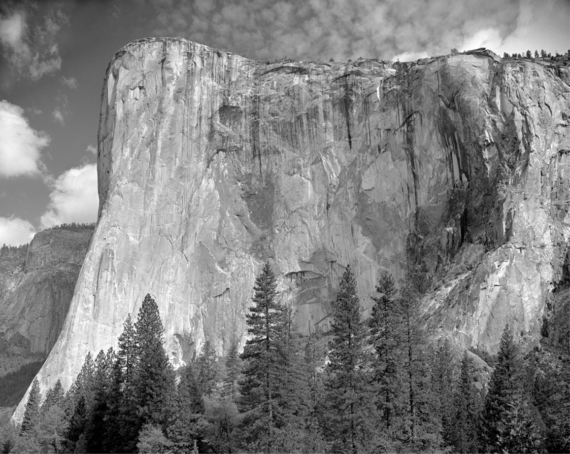
This view of the southeast face of El Capitan was captured at El Capitan viewpoint.
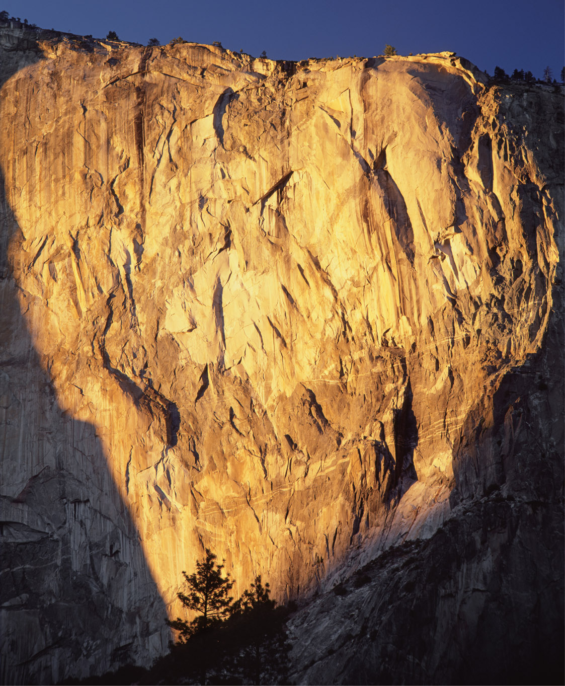
A setting sun illuminates the eastern portion of the southeast face of El Capitan, as seen from El Capitan viewpoint. The east buttress is on the right.
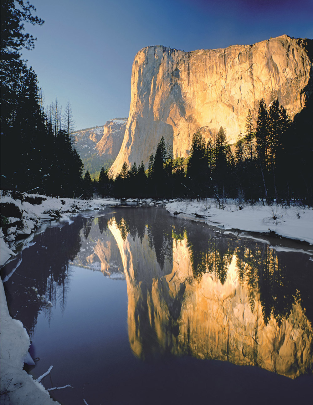
A very wide-angle view shows a winter reflection of El Capitan in the Merced River, as seen below El Capitan viewpoint.
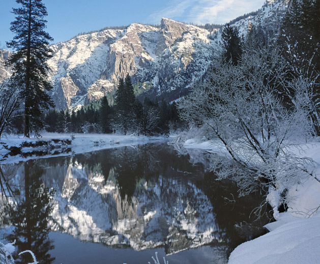
Another winter view, looking in the opposite direction (west) from El Capitan viewpoint, shows Taft Point, the pointy peak on the south rim of the valley, reflected on the Merced River.
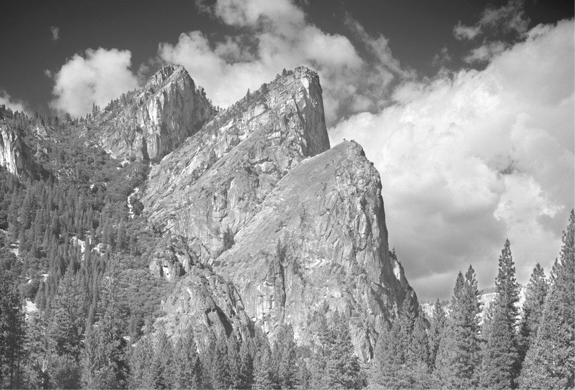
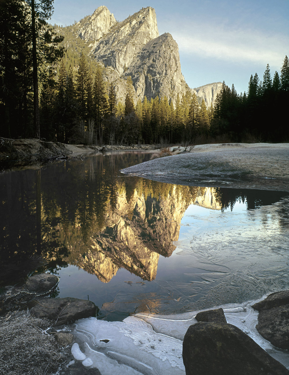
These two photographs show the Three Brothers, on the north side of the valley, as seen from near Cathedral Beach. The highest brother is Eagle Peak, at 7,779 feet (2,371m). The southeastern faces of these peaks (the right-hand profiles) contain some very unstable rock. In 1987 a large rockfall off Middle Brother crashed across Northside Drive and closed it for several months, until the road could be cleared and was determined safe for travel again. The black-and-white image shows clouds over the peaks; the color image shows their reflections in the Merced River, with ice in the foreground.
