Bradley A. Shellito - Discovering GIS and ArcGIS
Here you can read online Bradley A. Shellito - Discovering GIS and ArcGIS full text of the book (entire story) in english for free. Download pdf and epub, get meaning, cover and reviews about this ebook. year: 2020, publisher: WH Freeman, genre: Computer. Description of the work, (preface) as well as reviews are available. Best literature library LitArk.com created for fans of good reading and offers a wide selection of genres:
Romance novel
Science fiction
Adventure
Detective
Science
History
Home and family
Prose
Art
Politics
Computer
Non-fiction
Religion
Business
Children
Humor
Choose a favorite category and find really read worthwhile books. Enjoy immersion in the world of imagination, feel the emotions of the characters or learn something new for yourself, make an fascinating discovery.

- Book:Discovering GIS and ArcGIS
- Author:
- Publisher:WH Freeman
- Genre:
- Year:2020
- Rating:3 / 5
- Favourites:Add to favourites
- Your mark:
Discovering GIS and ArcGIS: summary, description and annotation
We offer to read an annotation, description, summary or preface (depends on what the author of the book "Discovering GIS and ArcGIS" wrote himself). If you haven't found the necessary information about the book — write in the comments, we will try to find it.
Shellitos Discovering GIS and ArcGIS Pro provides students with hands-on work with GIS software, while explaining the how and why behind each application. Software changes quicklythe theory has a longer shelf life. The goal of Discovering GIS and ArcGIS Pro is to teach students how to combine GIS concepts with ArcGIS Pro software skills, preparing students for successful careers in the real world. Each chapter focuses on using a variety of ArcGIS tools in a real-world context. At the start of each chapter, a scenario puts the student in a particular role with a number of tasks to accomplish.
Bradley A. Shellito: author's other books
Who wrote Discovering GIS and ArcGIS? Find out the surname, the name of the author of the book and a list of all author's works by series.
Discovering GIS and ArcGIS — read online for free the complete book (whole text) full work
Below is the text of the book, divided by pages. System saving the place of the last page read, allows you to conveniently read the book "Discovering GIS and ArcGIS" online for free, without having to search again every time where you left off. Put a bookmark, and you can go to the page where you finished reading at any time.
Font size:
Interval:
Bookmark:
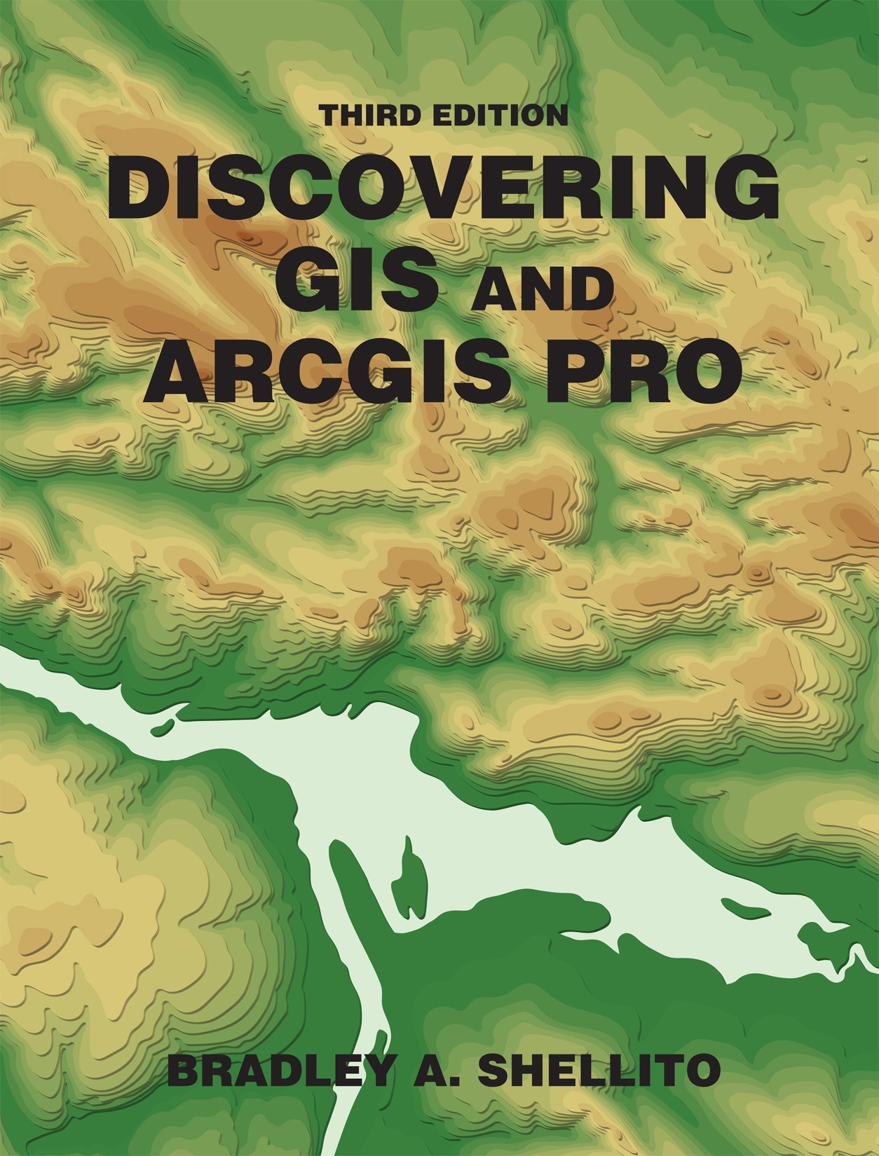
The front cover has a topographic map as the background. The text, Third Edition, and the name of the book, Discovering G I S and Arc G I S Pro, are at the top. The author's name, Bradley A. Shellito, is at the bottom.
This book is dedicated to my parents, David and Elizabeth, whose encouragement showed me how to roll the dice and make them come up sevens.
V ice P resident , STEM: Daryl Fox
E ditorial P rogram D irector : Andrew Dunaway
S enior P rogram M anager : Jennifer Edwards
D evelopmental E ditor : Andy Newton
E ditorial A ssistant : Nathan Livingston
M arketing M anager : Leah Christians
M arketing A ssistant : Madeleine Inskeep
M edia P roject M anager : Dan Comstock
D irector , C ontent M anagement E nhancement : Tracey Kuehn
S enior M anaging E ditor : Lisa Kinne
S enior C ontent P roject M anager : Harold Chester
S enior W orkflow P roject M anager : Paul Rohloff
P roduction S upervisor : Robert Cherry
S enior P roject M anager : Misbah Ansari, Lumina Datamatics, Inc.
P ermissions M anager : Jennifer MacMillan
S enior P hoto E ditor : Sheena Goldstein
R ights and B illing A ssociate : Alexis Gargin
D irector of D esign , C ontent M anagement : Diana Blume
P hoto R esearcher : Krystyna Borgen, Lumina Datamatics, Inc.
D esign S ervices M anager : Natasha Wolfe
I nterior D esign : Lumina Datamatics, Inc.
A rt M anager : Matthew McAdams
C omposition : Lumina Datamatics, Inc.
ISBN-13: 978-1-319-38281-0 (epub)
2021, 2017, 2015 by W. H. Freeman and Company
All rights reserved.
1 2 3 4 5 6 25 24 23 22 21 20
W. H. Freeman and Company
One New York Plaza
Suite 4600
New York, NY 10004-1562
www.macmillanlearning.com
This book was not prepared, approved, or endorsed by the owners or creators of any of the software products discussed herein. The graphical user interfaces, emblems, trademarks and associated materials discussed in this book remain the intellectual property of their respective owners.

Bradley A. Shellito is a geographer whose work focuses on the application of geospatial technologies. Dr. Shellito has been a professor at Youngstown State University (YSU) since 2004 and was previously a faculty member at Old Dominion University. He teaches classes on GIS, remote sensing, GPS, and 3D visualization, and his research interests involve applying these concepts to a variety of real-world issues. His first book, Introduction to Geospatial Technologies was also published by Macmillan Learning. He also serves as YSUs Principal Investigator in OhioView, a statewide geospatial consortium. A native of the Youngstown area, Dr. Shellito received his bachelors degree from YSU, his masters degree from the Ohio State University, and his doctorate from Michigan State University.
- )
- )
My approach to teaching GIS courses involves two goals for the students. First, they should be able to do hands-on work with GIS software. Second, and more importantly, they should know the how and why behind what theyre doing. Software changes quickly; the theory has a longer shelf life. The goal of Discovering GIS and ArcGIS Pro is to teach students how to combine GIS concepts with ArcGIS Pro software skills. Students learn to use the software, apply it to real-world tasks, and discover why they are doing things. They learn background and theory subjects, when appropriate, as they work through the hands-on application of ArcGIS Pro in each module.
For instance, when students are constructing a map and choosing a data classification method, an accompanying theory-based Smartbox provides background on the different classification methods, how each method classifies data, and which method should be used based on the distribution of the data. Similarly, when students are preparing to publish their data to ArcGIS Online as a web layer, an accompanying Smartbox provides background and information on publishing; the difference between feature layers, tile layers, and vector tile layers; and how these items are set up and used. In this way, students encounter the theory as they work with the software. In short: Rather than read pages of background before getting to the hands-on application, students encounter the underlying concepts and explanations while working with the software. Students learn while doing, gaining an understanding of GIS as they are implementing GIS concepts with ArcGIS Pro.
When using a workbook type of text, students all too often click all the right buttons, input the correct values, and end up with the correct answers without having a clear idea of why they were clicking those buttons or using those particular settings. For instance, students can turn a set of two-dimensional building footprints into a 3D representation of the structures by clicking the mouse a few times and entering values in an ArcGIS dialog. Similarly, they can open the Create TIN geoprocessing tool, select some inputs, click Run, and get a TIN (triangulated irregular network) to work in ArcGIS Pro without getting an understanding of what a TIN is or how to create one properly. The goal of Discovering GIS and ArcGIS Pro is to provide step-by-step instructions that allow students to use ArcGIS for real-world tasks and applications while also helping them understand the hows and whys behind their actions.
The target audience for Discovering GIS and ArcGIS Pro include introductory and advanced GIS courses or applied GIS courses. Colleges and universities often offer more than one GIS coursesuch as one at an introductory level and another at an advanced level. Discovering GIS and ArcGIS Pro would be appropriate for one or both courses. Within the text, instructors will be able to find the topics they want to present whether they are teaching a single intro-level course, a single advanced or applied course, or a two-course sequence. For instance, at Youngstown State University, I teach a two-course upper-division GIS sequence of classes and teach Modules 1 through 11 in the first class (focusing on GIS basics, working with GIS data, and spatial analysis methods) and Modules 12 through 22 in the second class (focusing on raster data, surfaces and visualization, and building models).
Each part of the book is called a module because the book is designed to be as modular as possible. From these 22 modules of material, instructors are able to pick and choose the topics they wish to present in a class, particularly when using Discovering GIS and ArcGIS Pro for a single course. This buffet-style approach allows instructors to select the topics they wish to cover in one class. The modules are largely designed to each stand alone, so that if instructors teach working with raster data in Module 12 and then teach working with DEMs in Module 15, the students wont be lost in methods or techniques if the intervening modules are not presented to them.
Through its generous software promotion program, Esri makes it easy for students to access ArcGIS Pro for educational purposes. Instructors at schools with an Esri site license can request a free version of ArcGIS Pro to distribute to their students. (The online request form is at
Font size:
Interval:
Bookmark:
Similar books «Discovering GIS and ArcGIS»
Look at similar books to Discovering GIS and ArcGIS. We have selected literature similar in name and meaning in the hope of providing readers with more options to find new, interesting, not yet read works.
Discussion, reviews of the book Discovering GIS and ArcGIS and just readers' own opinions. Leave your comments, write what you think about the work, its meaning or the main characters. Specify what exactly you liked and what you didn't like, and why you think so.