ACKNOWLEDGMENTS
I first started visiting Tempe for a city fix on off-duty weekends while teaching at a rural boarding school in northern Arizona in 1969. I first started spending part of my winters there when I moved from California to Arizona with my wife, Diane, in 1989. Since then, I have returned to Tempe regularly.
Mainly I keep coming back because of the hospitality extended to me by my wifes good friends and associates: Linda, Rita, and Evelyn Spears. It has been a great pleasure to become acquainted with Linda, Rita, and Evelyn, now my good friends and associatesparticularly Linda, who kindly provided direction and the contemporary photographs for this book about Tempe.
Secondary sources consulted for this book include Images of America : Tempe , by Shirley R. Blanton; Phoenix 18701970 in Photographs , by Herb and Dorothy McLaughlin (editors); and Phoenix , by Thomas E. Sheridan. Primary sources consulted are available at the Tempe History Museum.
Unless otherwise noted, all the historic images for this book are published here courtesy of the Tempe History Museum. Thanks goes to Richard J. Bauer at the museum for his invaluable help.
The contemporary photographs have been provided by my friend, photographer, Tempe accountant, and former Tempe city councilwoman, Linda Spears.
Special thanks go to Tempe resident and U.S. Representative Harry E. Mitchell for writing the introduction to this book.
Frederic B. Wildfang
Find more books like this at
www.imagesofamerica.com
Search for your hometown history, your old
stomping grounds, and even your favorite sports team.
CHAPTER 1
THE RIO SALADO
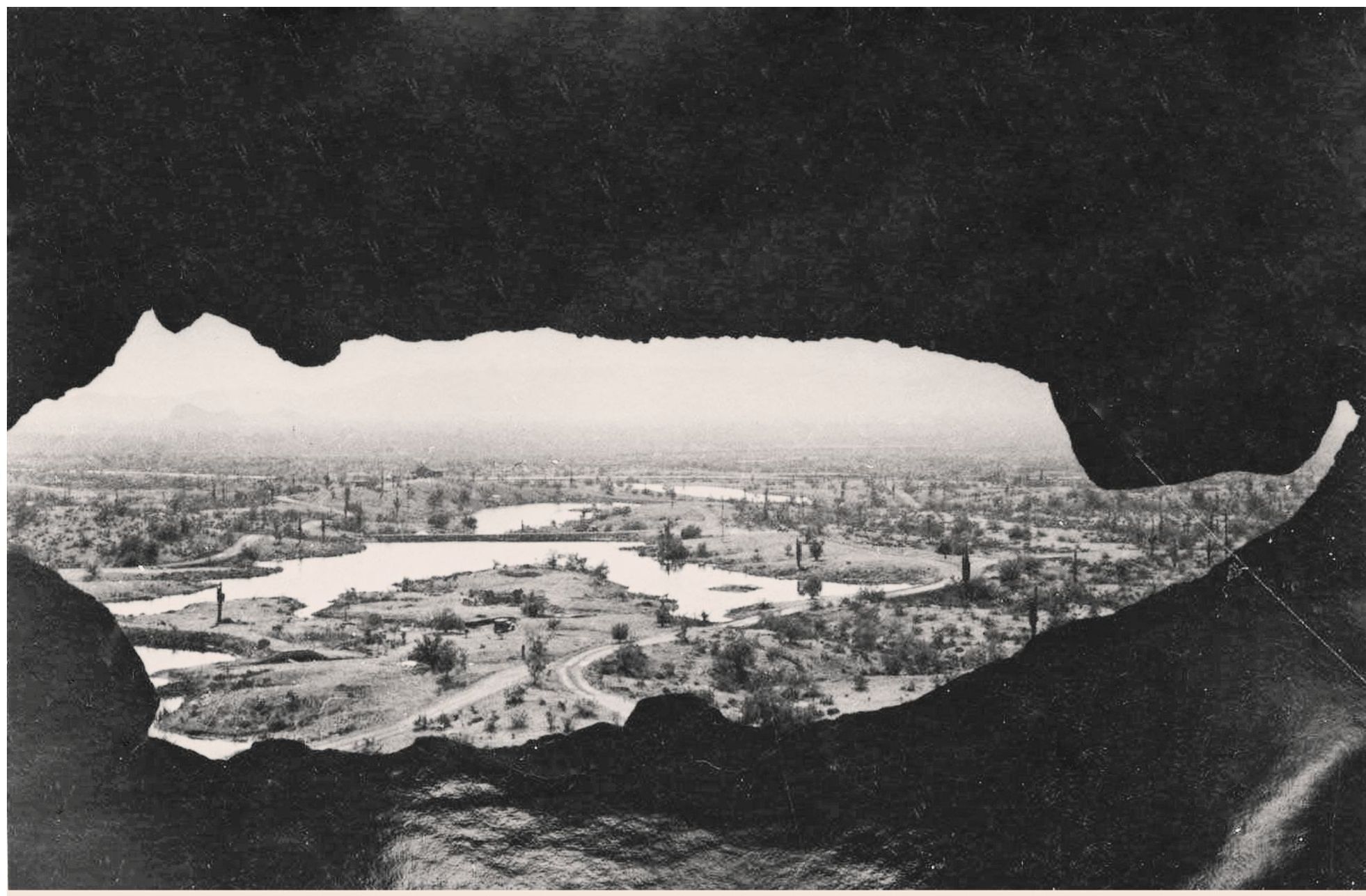
At the end of the Ice Age, the Rio Salado, also known as the Salt River, began weaving its way down from the mountains, braided itself through the valley, and gathered itself into a series of lakes, one of which was just above what is now Tempe, Arizona. Two thousand years ago, Hohokam Indians lived on both sides of that lake.
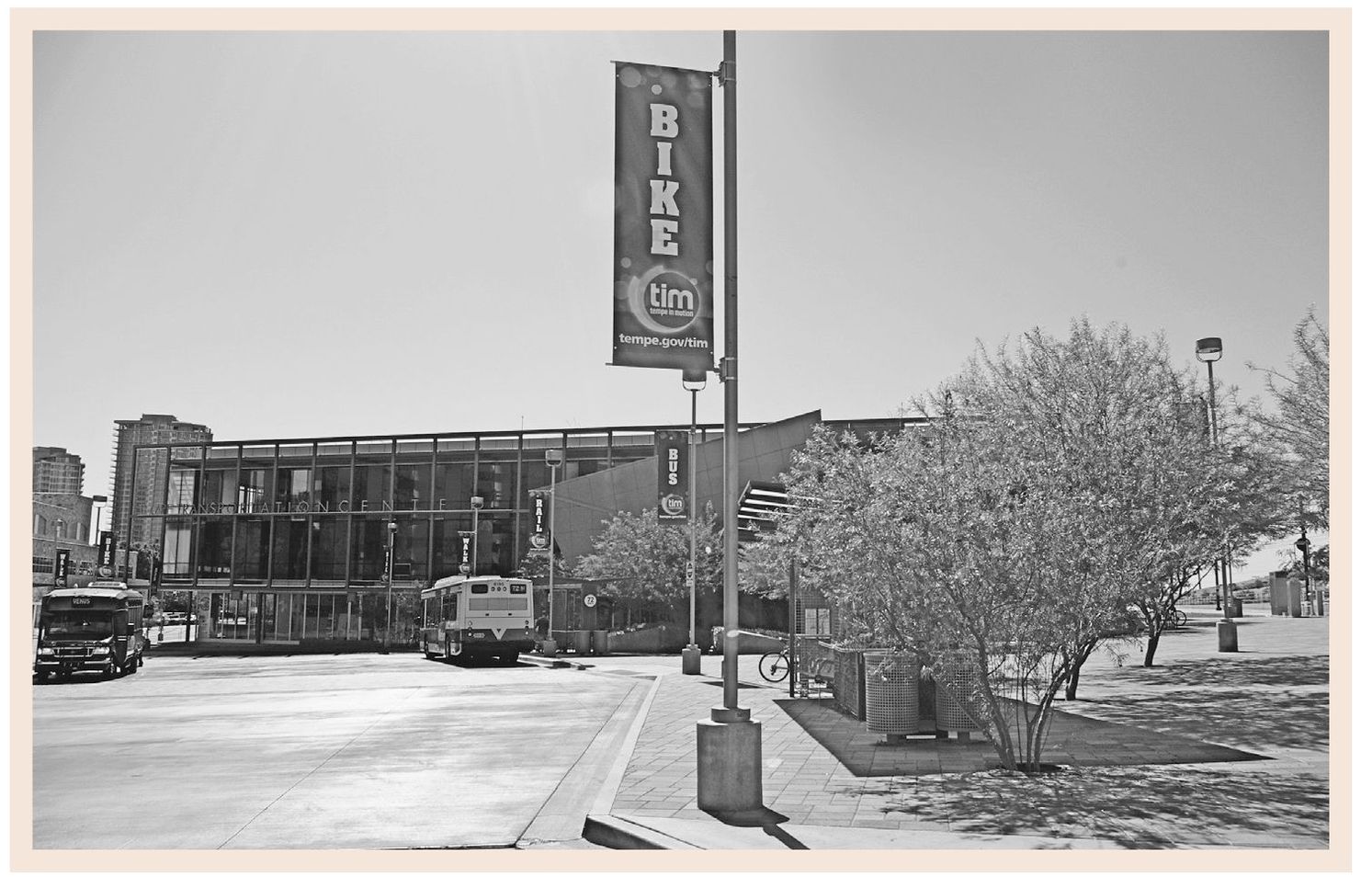
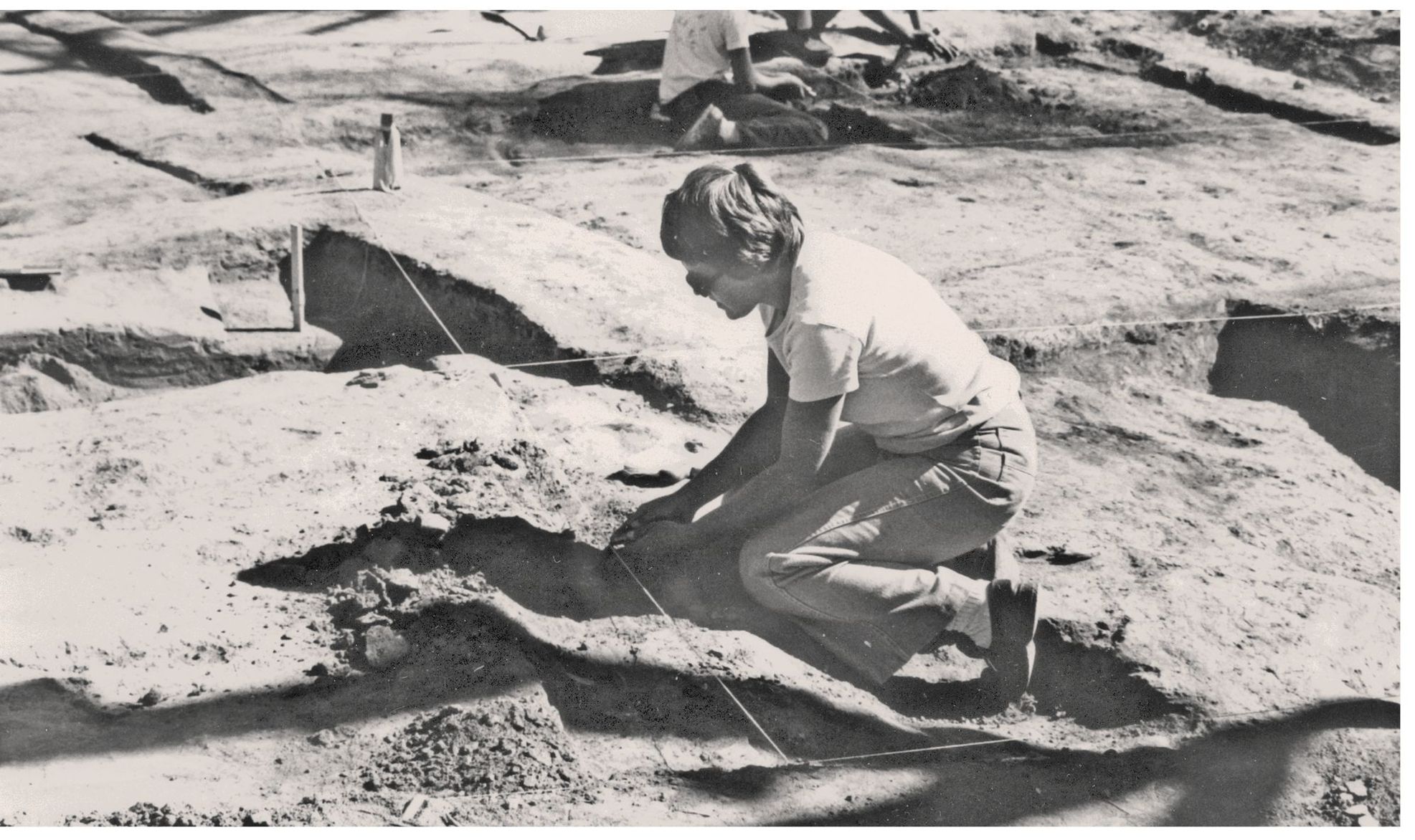
Archaeological digs on the north side of the Salt River have revealed ruins of the Hohokams, such as the Pueblo Grande ruins at the west end of Papago Park, a prehistoric community of pit houses clustered together behind adobe walls. Digs on the south side of the river have revealed Hohokam ruins as well. These sites feature contemporary structures today, however, such as the Tempe Transit Center, shown in the photograph above.
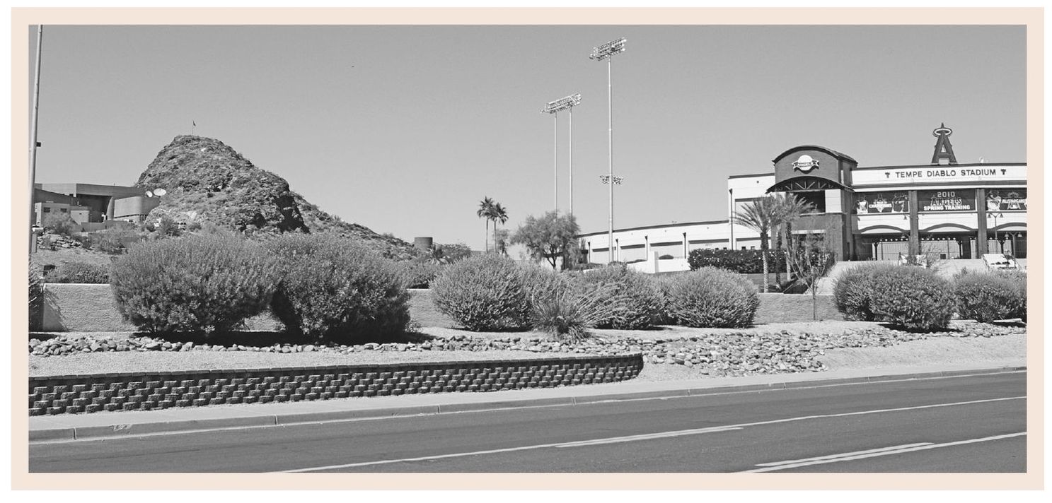
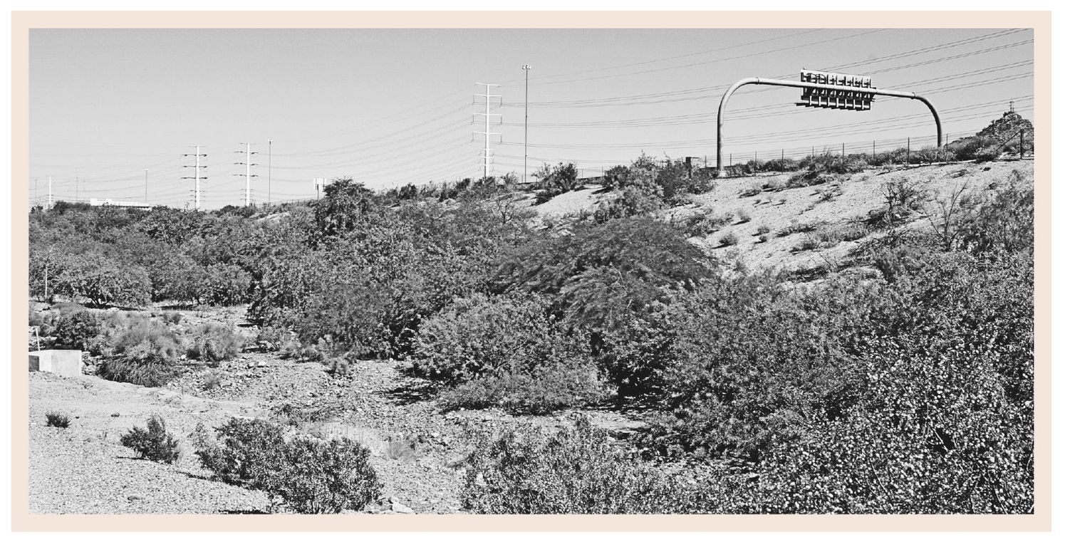
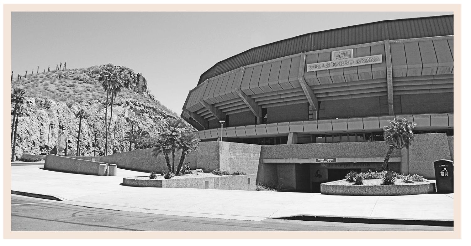
Evidence suggests that the Hohokams were building a system of irrigation canals fed by the Salt River throughout the valley as long ago as 200 AD. Contemporary canals in the Salt River Valley have been patterned after those of the Hohokams. Most of the canals still in service have been covered now and the landscape made almost unrecognizable. This butte now accommodates a luxury hotel, and the surrounding desert now accommodates a baseball stadium.
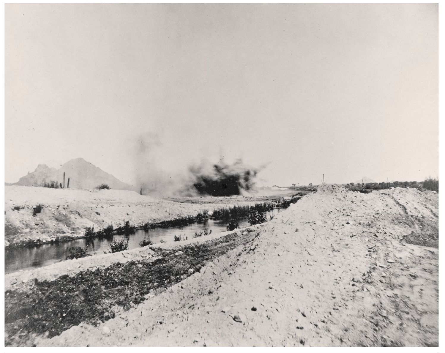
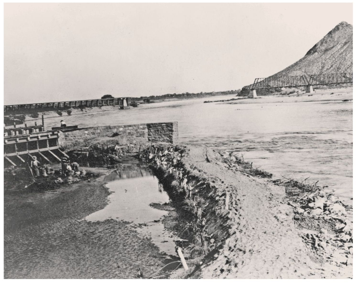
In late 1867, J. W. Jack Swilling of Wickenberg, acknowledged as the founder of Phoenix, formed the first canal company to divert water from the north side of the Salt River. By 1871, Charles T. Hayden, William H. Kirkland, and James B. McKinney were building canals on the south side of the river, leading to the founding of the town of Tempe. This ditch on the north side of the river, now part of the LoPiano Habitat area, was recently used to fill Tempe Town Lake.
CHAPTER 2
CHARLES TRUMBULL HAYDEN
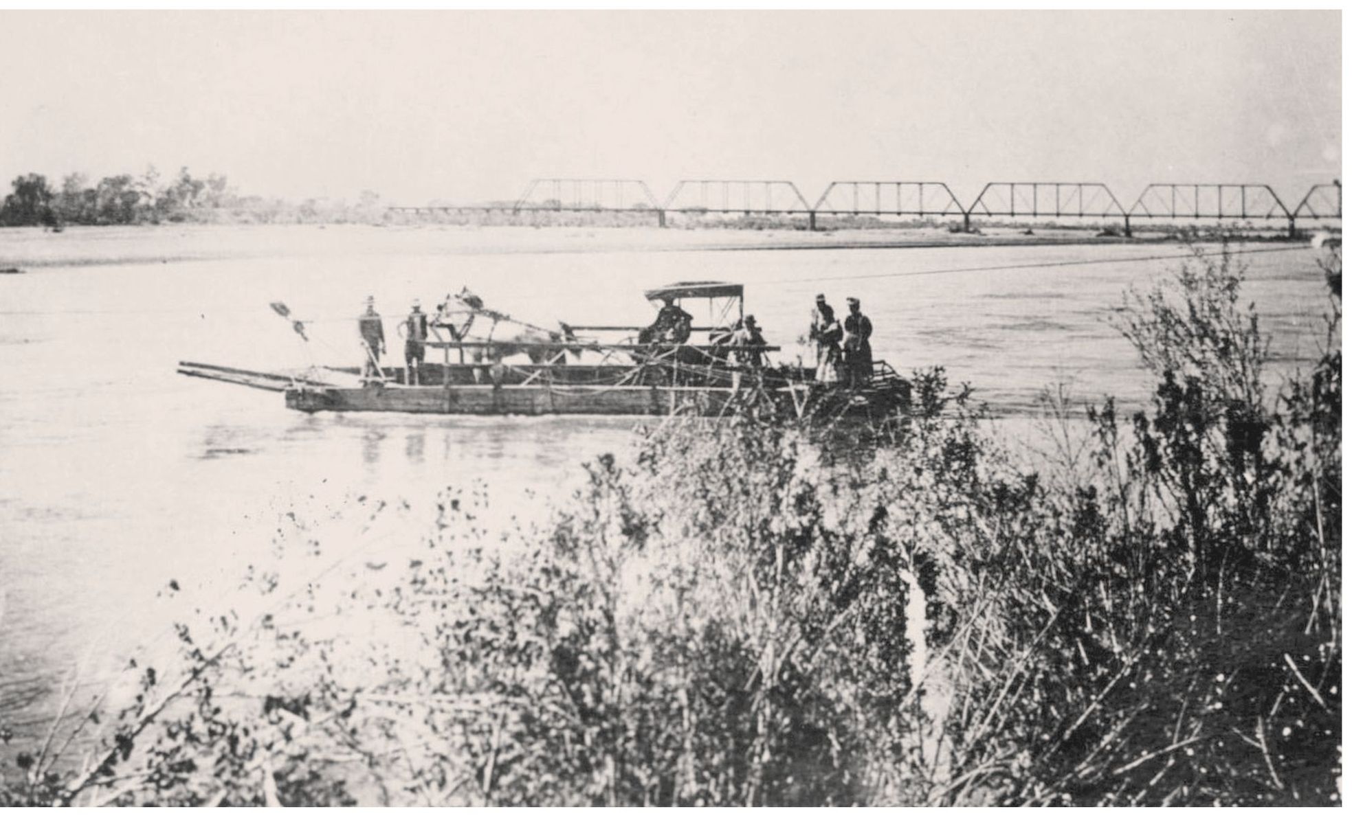
Tucson merchant Charles Hayden first came to the area in 1866, detained on his way to Prescott by the flooded Rio Salado. Climbing the Tempe Butte, Hayden decided this would be a good place to start a business. Soon after, he built a store, a canal to power a flour mill, and a cable ferry across the river and started a town.
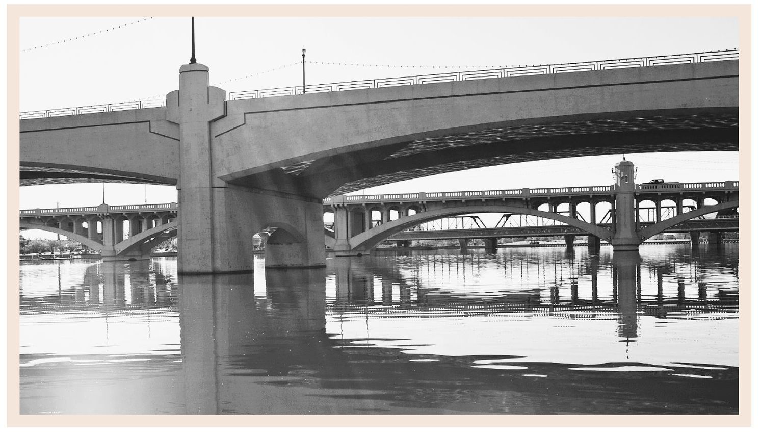
Charles Trumbull Hayden established his ferry on the Salt River in the early 1870s. Today, mere glimpses of the railroad bridge, first built in 1887, can be seen from this vantage point. Blocking the view is the new Metro light rail bridge and Tempe Bridge, built in 1933, which replaced the Ash Avenue bridge, the first highway crossing of the Salt River. Now that major highways have been diverted away from the downtown area, the Tempe Bridge serves local traffic crossing above the new Tempe Town Lake.
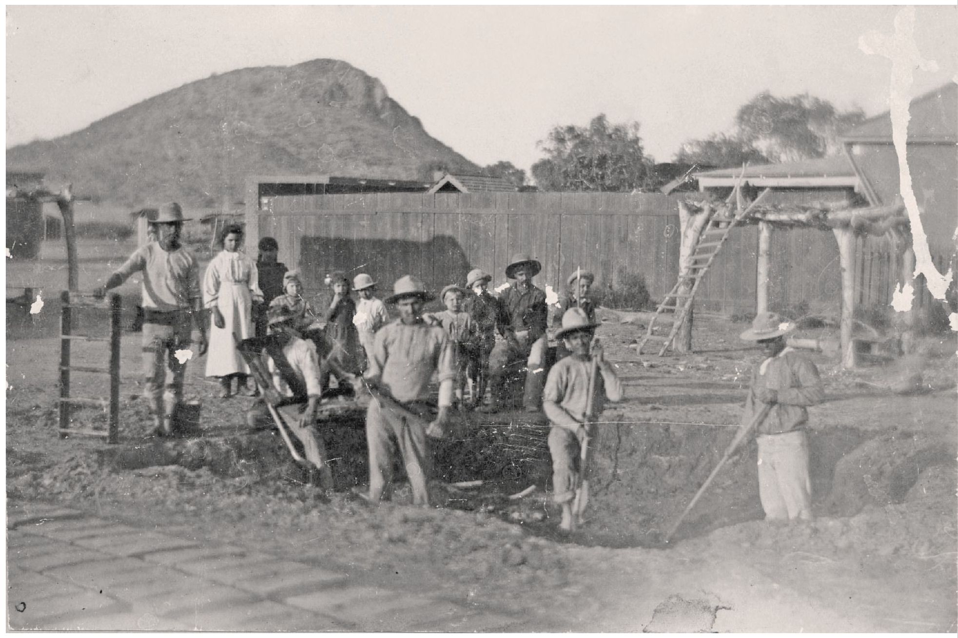
In order to build his canal (the Hayden Ditch), clear his land, plant crops, and care for his stock, Hayden hired Hispanic localssome from families who had been in Arizona for generationsto help him. In return, he planted acres of gardens and orchards to help provide them with food and built row houses with adobe bricks to serve as their shelter.
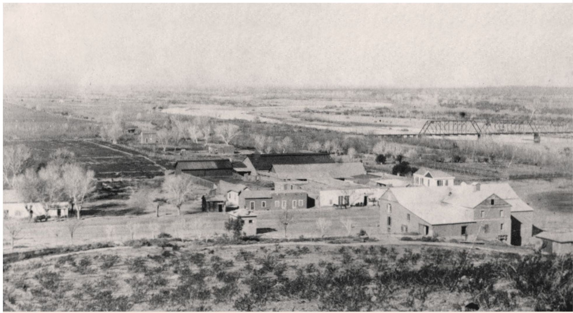
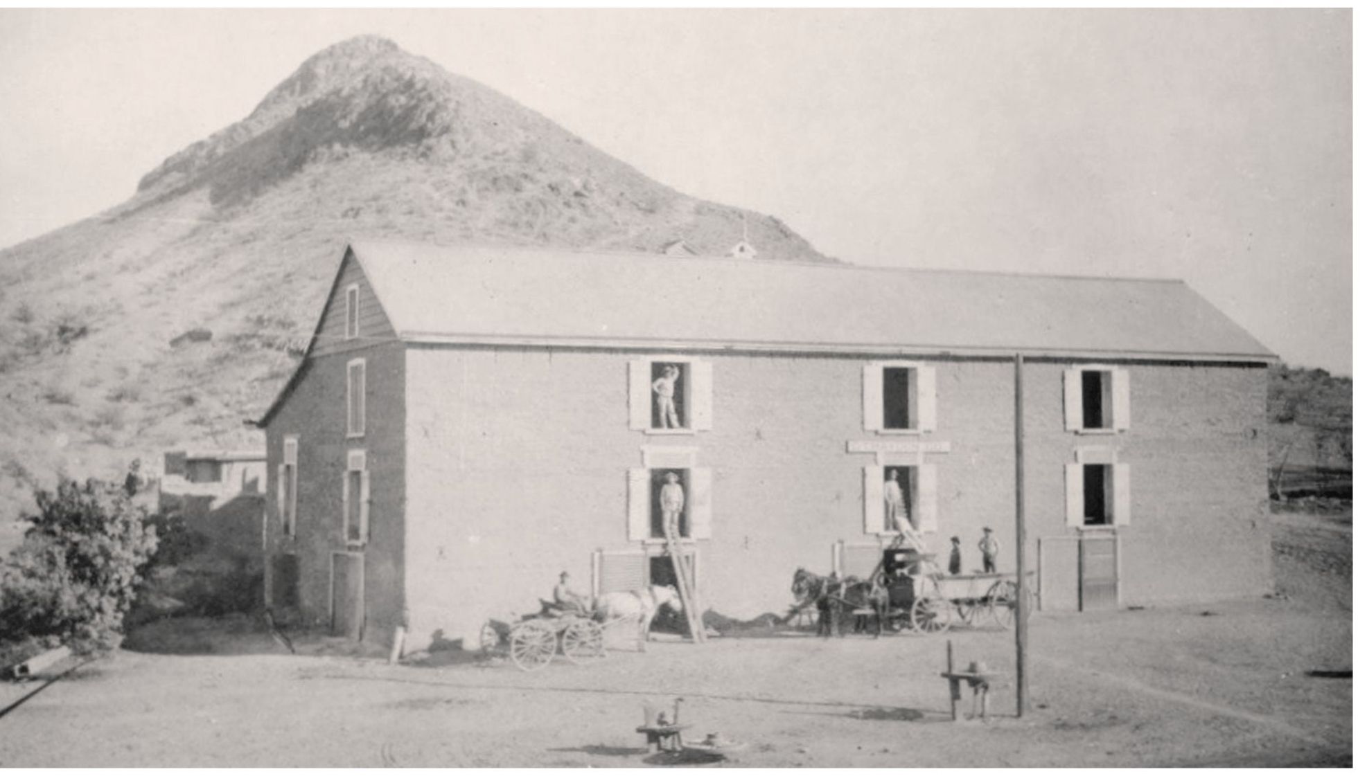
Hayden built his original adobe mill just west of the Tempe Butte soon after he arrived here. By 1874, the mill was in full operation, milling grain from all over the valley and shipping flour to copper mining camps as far away as Globe, Arizona. Around 1885, he added a front section to the mill, which was destroyed by fire in 1890. Rebuilt on the same site, the mill again burned down in 1917. Some of the early walls, however, can still be discerned as part of the more recently built structure.

