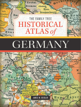
THE FAMILY TREE
HISTORICAL
ATLAS of
GERMANY
JAMES M. BEIDLER

CINCINNATI, OHIO . familytreemagazine.com/store
Dedication
To Eric Rick Bender of New Mexico and Brian Hartzell of Ohiorepresentatives of many devoted genealogists with German roots who have encouraged me with correspondence and feedbackand Terri Jo Bridgwater, who is always there for me.
CONTENTS
Introduction
This book was conceived (many years before its actual birth) when I was a junior in high school. I was taking German III, and wasnt getting any more fluentI just didnt have great aptitude for languages, period. Extra credit would be welcome, so I approached my German teacher about decorating the walls of his classroom with maps I would draw of the Holy Roman Empire. This teacher, F. Robert Reeser, was a saint, and, of course, he allowed me to draw the maps to pull the chestnuts of a grade out of the fire. That last-ditch effort to up my grade grew into something much morea life-long fascination with German history and geography.
This volume has been brought about by the practical needs of the many people who have a sense about how different their German forebears history was (There were a lot of little states, right?), but relatively little idea what that actually means on the ground in practical research, and on maps.
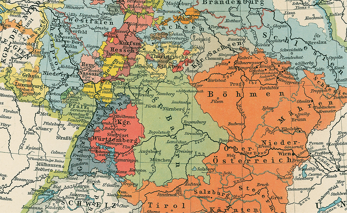
As a result, this book is designed to serve two purposes. First, it functions as a reference for anyone researching the history of German-speaking lands, showing through maps the ever-shifting boundaries of the many states in central Europe and helping researchers identify to which larger political units the smaller areas owed allegiance. And, less importantly, this book makes a handsome coffee-table volume full of beautiful historical maps that are worthy of leafing through in the German genealogists home.
This book includes three types of maps: historical maps produced at the time they depict; historical maps produced retrospectively; and present-day maps. Likewise, we can categorize maps by the features they include, such as roads, political boundaries, topography, and demographics. Overwhelmingly, the maps included here identify political borders, but youll also find maps that present other boundaries.
Weve used our maps in as much detail as our format would allow. A magnifying glass will be your friend, and nearly all of the maps included can be found through an online source such as the David Rumsey Historical Map Collection , the Library of Congress Digital Collection , and MapRoom.org (which has scans of the 1905 Putzgers atlas ).
We couldnt include every German village in this atlas, but (knowing that villages are a common research goal) weve selected maps that will prove useful for finding them. Also, unusual for a work such as this, there is an index for the maps that will be of greatest use for finding villages. Genealogists often use maps to trace migration patterns and as clues for finding additional information such as religious affiliation. The maps in this atlas will assist with these tasks as well.
Two prime sources of the maps stand out and should be further acknowledged. I obtained a copy of F.W. Putzgers Historischer Schul-Atlas, 1905, and many of the best historical maps were used from this out-of-copyright atlas. John Palmer and his Michiana History Publications, a frequent vendor at genealogical conferences, was the primary supplier of the detailed nineteenth-century maps of individual German states. He has graciously allowed his maps to be reproduced here.
In addition to the many maps, this book offers contextual background information about the different periods of German historyfocusing on the events as they relate to the creation of and continued accessibility of various German record groups. Youll find this history guided which maps were selected, with many relating to the modern-day divisions of German church organizations and political units.
Youll note that some of the maps included here are in English while others are in German. To account for this, this atlas also includes a glossary of place names that change between German and English; for instance, the city the Germans call Nrnberg is consistently rendered as Nuremberg in English. Youll also find a collection of names relating to the various levels of noble jurisdiction in the historical German states. And because the Germans especially seem to love abbreviations (some of them idiosyncratic), this glossary also includes common abbreviations for many German towns and village.
Time and place are the crosshairs of genealogy. In this atlas, we present the place in which the human story of your German-speaking ancestors took placeand show those places at various crucial points in time. Together, they produce the target for your study of history and genealogy.
James M. Beidler
Leesport, PA
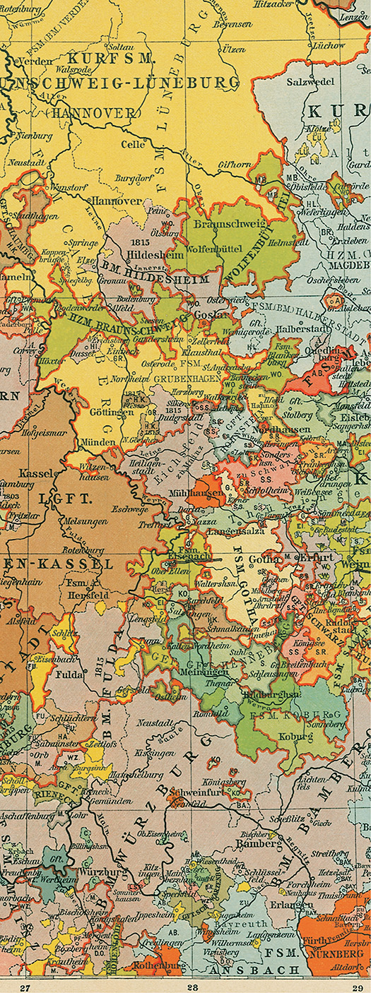
1815
1789
GERMAN HISTORY HIGHLIGHTS
To say that Germany has a messy history would be a great understatement. From the more than one thousand German microstates to the period of unification, division into East and West, and reunification, Germany has undergone many boundary changes that genealogists have to keep track of.
But German history affects your research far more than just changing the borders on maps. Indeed, border changes are significant because the jurisdiction your ancestors village belonged to affects where civil records are kept today. These administrative boundaries may have also determined the states religion and therefore what type of religious records might be available.
This section will give you a crash-course lesson in the history of German-speaking lands. Youll find some history at the beginning of each section of maps, too, mostly to help you zero-in on some concepts relating to the time period or topics covered by the maps in that section.
But before we get into specifics, lets discuss one overriding concept that I covered in my earlier book Trace Your German Roots Online (Family Tree Books, 2016): Germanys non-linear history. The United States has a linear history, in which (over time) the country expanded across the continent of North America from east to west, with new states being created from acquired territories, counties being created within those states, and new counties breaking off from older counties. This proceeded pretty much with no looking back, and the historical boundaries created in centuries past are more or less the same as they are today.
But in what is now Germany, progress was less consistent. Youll find that noble dynasties went extinct and their holdings were split between two or more related families. Or war resulted in one neighbor absorbing anotherbefore still another state conquered the winner of that previous conflict. In short, there was loads of ebb and flow throughout the centuries, and you cant draw a straight line from ancient, medieval, or even early-modern Germany to todays Bundesrepublik Deutschland.
Most chapters in this atlas deal with a certain chronological selection of maps, all of which show similar depictions of the German states at a given time. Through them, we can view the ebb and flow of German history, starting through a wide-angle lens depicting the Germanic tribes of ancient times. Then well zoom in to the Holy Roman Empire during its millennium of existence, followed by the brief (but significant) Second German Empire and todays Germany. Then well pan back out to show demographics as well as the other German-speaking nations and enclaves across Europe.

