Wang Yao - The Story of Xinjiang Revealed through Old Maps (1759-1912)
Here you can read online Wang Yao - The Story of Xinjiang Revealed through Old Maps (1759-1912) full text of the book (entire story) in english for free. Download pdf and epub, get meaning, cover and reviews about this ebook. year: 2021, publisher: Bridge 21 Publications, genre: History. Description of the work, (preface) as well as reviews are available. Best literature library LitArk.com created for fans of good reading and offers a wide selection of genres:
Romance novel
Science fiction
Adventure
Detective
Science
History
Home and family
Prose
Art
Politics
Computer
Non-fiction
Religion
Business
Children
Humor
Choose a favorite category and find really read worthwhile books. Enjoy immersion in the world of imagination, feel the emotions of the characters or learn something new for yourself, make an fascinating discovery.
The Story of Xinjiang Revealed through Old Maps (1759-1912): summary, description and annotation
We offer to read an annotation, description, summary or preface (depends on what the author of the book "The Story of Xinjiang Revealed through Old Maps (1759-1912)" wrote himself). If you haven't found the necessary information about the book — write in the comments, we will try to find it.
Wang Yao: author's other books
Who wrote The Story of Xinjiang Revealed through Old Maps (1759-1912)? Find out the surname, the name of the author of the book and a list of all author's works by series.

The Story of Xinjiang Revealed through Old Maps (1759-1912) — read online for free the complete book (whole text) full work
Below is the text of the book, divided by pages. System saving the place of the last page read, allows you to conveniently read the book "The Story of Xinjiang Revealed through Old Maps (1759-1912)" online for free, without having to search again every time where you left off. Put a bookmark, and you can go to the page where you finished reading at any time.
Font size:
Interval:
Bookmark:

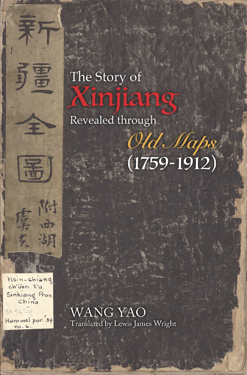
Xinjiang
Revealed through
Old Maps
(1759-1912)
WANG YAO
Translated by Lewis James Wright
Bridge21 Publications | Alhambra, CA
The Story of Xinjiang Revealed through Old Maps (1759-1912)
by Yao Wang
Copyright 2021 Yao Wang
Published by Bridge21 Publications, LLC
Distributed by Casemate Group
Casemate Academic: USA and North America
Oxbow Books: UK, Europe and the Rest of the World
All rights reserved. English language rights are licensed to
Bridge21 Publications, LLC.
No reproduction and distribution without permission.
ISBN 978-1-62643-074-7 Paperback
ISBN 978-1-62643-078-5 ePub | ebook pdf | Kindle
I am a lifelong devotee of the field of history and a lover of cartography. In this book, I have chosen to merge my two passions by retelling the history of Xinjiang Province with the use of old maps.
In ancient China, people believed that the heavens were round, and the Earth was square; therefore, they used the character yu which originally meant the square chassis of a cart to refer to the Earth. Maps whether they depicted topography, water systems, or cities were called yu tu, or square images.
These square images are important primary resources that comprise a wealth of geographical and ethnological information about China in the past. Where widespread education is concerned, maps have the merit of being more intuitive, concrete and concise than the vast corpus of extant Chinese texts, which are notoriously dense and difficult to decipher. These merits make maps an effective yet under-utilized tool for sharing knowledge about the history. This book is my attempt in this direction to use maps as a means of retelling the story of Xinjiang.
So, then, what is the story of Xinjiang? This question comprises two aspects, the first being the matter of how to define Xinjiang. For the purposes of this book, Xinjiang globally refers to the region under the jurisdiction of the General of Ili following the unification of China under Emperor Qianlong of Qing, much of which overlaps with the Xinjiang of today. Meanwhile, story refers to all events of the past that have made Xinjiang what it is today.
***
In its retelling of Xinjiangs history, this book will, above all else, place an emphasis on accuracy. This emphasis is related to my academic background: in the field of history, we are taught that every conclusion, no matter how big or small, must be backed up by evidence. Therefore, readers can rest assured that every detail cited in this book (whether it be an event, date, population number, or name of a person or place) is corroborated by historical sources.
In addition to old maps, this book will also illustrate the history of Xinjiang with the aid of historic photos, portraits, stone rubbings and other media. Over 70 images have been collected within the covers of this book, where they serve as important visual accompaniments to textual accounts. In this way, readers whose time is limited may still gain small insights into Xinjiang by simply consulting some of the pictures. Of course, consulting both the images and the text is the best way to develop a comprehensive understanding of the subject.
Allow me to reiterate: this is not an academic text, but rather my attempt to write an accessible accounts of Xinjiangs history.
***
Although I am originally from Shandong Province, I earned my academic qualifications and based my career in Beijing. I have not lived in Xinjiang Province for an extended period of time. Every time I travel to Xinjiang for work, its for a month at most and sometimes, for no longer than a week. My knowledge about Xinjiang is primarily derived from historic texts, modern research and my own personal reflections. Consequently, this book merely depicts Xinjiang as I understand it as a region of great hybridity and diversity.
This diversity is comparable to a kaleidoscope colorful and ever-changing or like the night sky, with its myriad celestial bodies. Since ancient times until today, Xinjiang has always contained multitudes.
Xinjiangs complex topography has granted it deserts, oases, glaciers, and grasslands. On these striking backdrops live a total of 13 different peoples, including the Han, Uyghur, Kazak, Hui, Mongol, Xibe and Manchurian ethnic groups. These 13 groups speak different languages (11 in total) and have different religious beliefs: some are Buddhist, some are Muslim, and others are Christian. In this way, the people of Xinjiang are as diverse and vibrant as the landscapes they share.
What I hope to convey to my readers through this book is the plurality of Xinjiang, which extends far beyond simplistic and clichd descriptions of bountiful fruit harvests and beautiful dancing women such as those found in folk songs like The Girls of Daban City .
-- How did Michel Benoist, the French missionary who participated in the design of the Yuanming Palaces Zodiac Fountain, become involved in drawing the map of Xinjiang during the reign of Emperor Qianlong?
-- What famous legend involves Emperor Qianlong, the western territories and a fragrant concubine? Did Emperor Qianlong take a concubine from the Western reaches of China? Is the Fragrant Concubine a real person?
-- What did Zhang Mu, who drew maps of Xinjiang, experience in his lifetime? Why was he disqualified from obtaining an official rank and title, and what led him to devote himself to the history and geography of Chinas northwestern reaches?
-- How did Qi Shiyi get his peculiar name, which literally means Seventy-One? What can his book The Sights and Sounds of the West , teach us?
-- Why is it that the Comprehensive Map of Xinjiang , which was drawn and released in bookstores during the reign of Emperor Guangxu, bears an authorial seal from the reign of Emperor Kangxi?
-- From her home on the Bailiwick of Jersey in the English Channel, how would Lady Catherine Macartney, the wife of British consul Sir George Macartney, reflect on her experiences as a young woman living in the town of Kashgar in south Xinjiang for 17 years (between the ages of 21 and 38)? Her husband was half-Chinese in his veins ran the blood of a woman who fought in the Taiping Rebellion. What adversities did he face?
-- What can Xinjiangs fangshen temples, the Temples of Emperor Guan found throughout the Tianshan mountain ranges, and the Swedish missionary who tirelessly protected Kashgar for 46 years, tell us about the importance of beliefs?
-- What was the significance of historical events such as the Defense of the West in the Tianshan mountain ranges by tens of thousands of Eight Banner soldiers; the migration of the Xibe soldiers from Northeast China to Xinjiang, and the Torgut peoples fight and withdraw to Ili via the Volga River?
-- Faint traces of ancient cities, once-busy roads that lay in disrepair, and stone monuments that stand proud on Gedeng Mountain what violent stories loom under these artefacts?
One by one, the answers to each of these questions will be revealed.
Maps are a visual recording of a nations borders, cities, major waterways and mountains. Throughout history, they have played a crucial role in confirming a nations territory and sovereignty. The definition of a nations boundaries is known as registering and mapping. The household registry provides information about the nations people, whereas the map reveals information about the land. ( Draft History of Qing ). Therefore, the production of maps and the study of cartography have been consistently valued from one Chinese dynasty to another.
Font size:
Interval:
Bookmark:
Similar books «The Story of Xinjiang Revealed through Old Maps (1759-1912)»
Look at similar books to The Story of Xinjiang Revealed through Old Maps (1759-1912). We have selected literature similar in name and meaning in the hope of providing readers with more options to find new, interesting, not yet read works.
Discussion, reviews of the book The Story of Xinjiang Revealed through Old Maps (1759-1912) and just readers' own opinions. Leave your comments, write what you think about the work, its meaning or the main characters. Specify what exactly you liked and what you didn't like, and why you think so.