WALKING IN THE DOLOMITES
25 MULTI-DAY ROUTES
by Gillian Price
2 POLICE SQUARE, MILNTHORPE, CUMBRIA LA7 7PY
www.cicerone.co.uk
About the Author
Gillian Price was born in England but moved to Australia when young. After taking a degree in anthropology and working in adult education, she set off to travel through Asia and trek the Himalayas. The culmination of her journey was Venice where, her enthusiasm fired for mountains, the next logical step was towards the Dolomites, only hours away. Starting from there, Gillian has been steadily exploring the mountain ranges and flatter bits of Italy and bringing them to life for visitors in a series of outstanding guides for Cicerone.
An ardent promoter of public transport to minimise environmental impact, she is an active member of the Italian Alpine Club (Club Alpino Italiano) and Mountain Wilderness. When not out walking with Nicola, her Venetian cartographer husband, Gillian works as a freelance travel writer (www.gillianprice.eu).
Other Cicerone guides by the author
Across the Eastern Alps: the E5
Alpine Flowers
Gran Paradiso: Alta Via 2 Trek and Day Walks
Italys Sibillini National Park
Italys Stelvio National Park
Shorter Walks in the Dolomites
The Tour of the Bernina
Through the Italian Alps: the GTA
Trekking in the Alps (contributor)
Trekking in the Apennines: the GEA
Trekking in the Dolomites: AV16
Walking and Trekking on Corfu
Walking on the Amalfi Coast
Walking in the Central Italian Alps
Walking on Corsica
Walking in Sicily
Walking in Tuscany
Walking in Umbria
Walking the Italian Lakes
Walks and Treks in the Maritime Alps
Gillian Price 2017
Third edition 2017
ISBN-13: 978 1 85284 844 6
Second edition 2003
First edition 1991
Printed by KHL Printing, Singapore
All photographs are by the author unless otherwise stated.
A catalogue record for this book is available from the British Library.
 Route mapping by Lovell Johns www.lovelljohns.com and Nicola Regine. Contains OpenStreetMap.org data OpenStreetMap contributors, CC-BY-SA. NASA relief data courtesy of ESRI
Acknowledgements
To Nicola, with all my love.
Thanks to Betty and Dave, who taught me how to walk.
Grazie mille to Marty for the extra photos
Updates to this Guide
While every effort is made by our authors to ensure the accuracy of guidebooks as they go to print, changes can occur during the lifetime of an edition. Any updates that we know of for this guide will be on the Cicerone website (www.cicerone.co.uk/844/updates), so please check before planning your trip. We also advise that you check information about such things as transport, accommodation and shops locally. Even rights of way can be altered over time.
The route maps in this guide are derived from publicly-available data, databases and crowd-sourced data. As such they have not been through the detailed checking procedures that would generally be applied to a published map from an official mapping agency, although naturally we have reviewed them closely in the light of local knowledge as part of the preparation of this guide.
We are always grateful for information about any discrepancies between a guidebook and the facts on the ground, sent by email to updates@cicerone.co.uk or by post to Cicerone, 2 Police Square, Milnthorpe LA7 7PY, United Kingdom.
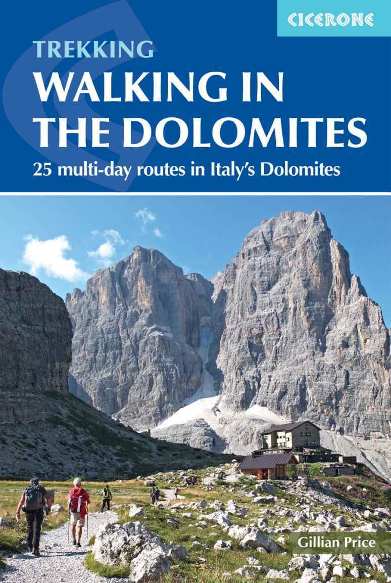
Front cover: Arriving at Rifugio ai Brentei (Walk 24, Stage 1)
CONTENTS
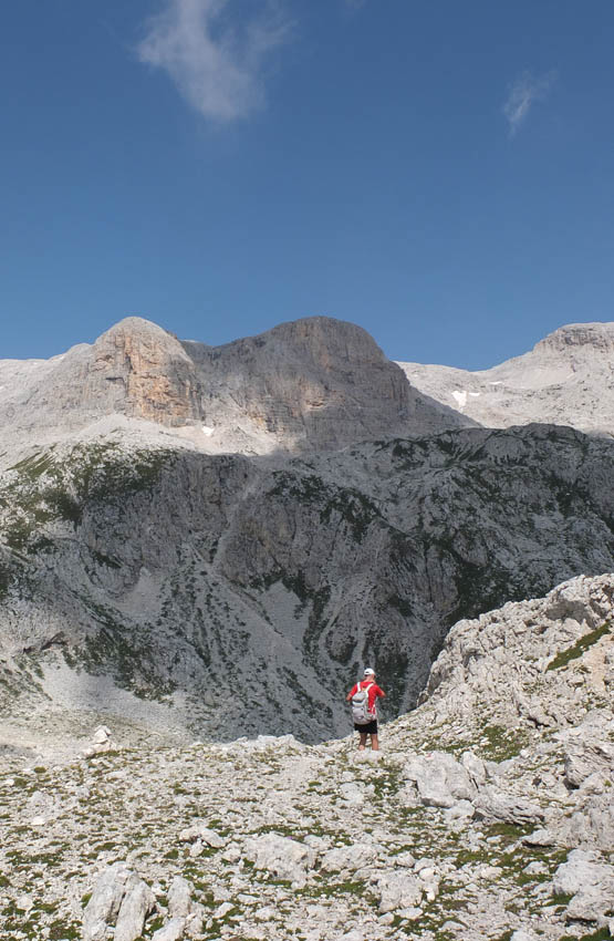
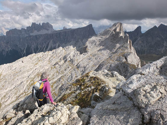
Walker leaving Passo Canali (Walk 14, Stage 2)
PREFACE TO THE THIRD EDITION
Near Rifugio Nuvolau (Walk 9)
Amazing to say, but after over 30 years of wandering through these spectacular mountains, while researching this new edition I found paths Id never walked before with the Dolomiti Friulane a special surprise. As in earlier editions of this guidebook, each individual Dolomite group is explored, but priority has now been given to circular routes, enabling walkers to start and finish at the same place.
So here are brand new walks, revisited loops and traverses, new mapping and masses of colour photos in a completely overhauled and updated edition of this classic guide to the Dolomites. Hope you find the walks as exhilarating as I did!
Gillian Price, Venice
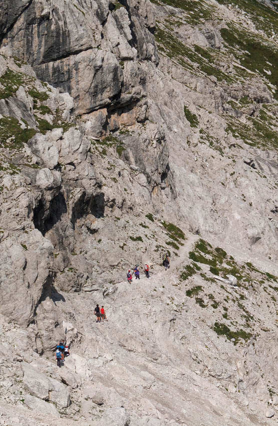
On Sentiero Palmieri basso (Walk 25, Stage 2)
INTRODUCTION
The Dolomites
What can first-time visitors to the Dolomites expect? These were the first impressions of Victorian adventurer Amelia Edwards (1873):
through a gap in the mountains at the farther end of the lake, we are startled by a strange apparition of pale fantastic peaks lifted high against the northern horizon.
Ecco! says the driver, pointing towards them with his whip, and half turning round to watch the effect of his words, Ecco i nostri Dolomiti!
The announcement is so unexpected that for the first moment it almost takes ones breath away.
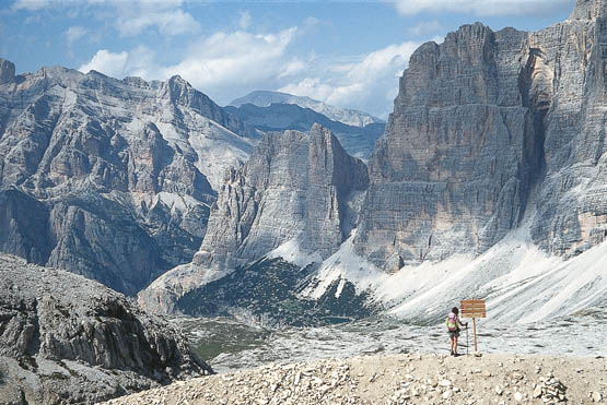
The marvellous outlook from Forcella Lagazuoi (Walk 8)
The magnificent Dolomite mountains offer an extraordinary array of landscapes. There are high-altitude lunar-like plateaus, where adventurous walkers are dwarfed by soaring peaks, crazy spires and breathtaking sheer walls. At lower levels, dense evergreen and deciduous forests are to be found, then alpine meadows that become gorgeous seas of wildflowers in summer quintessential Sound of Music settings to delight nature lovers. The underlying valleys are dotted with village resorts, easy to reach and well geared to the needs of visitors.
A fantastic network of signed paths lead out of the villages and valleys, snaking over ridges to link up mountain refuge huts in spectacular settings. These welcoming huts provide excellent meals and comfortable overnight accommodation, enabling walkers to embark on an extended journey through nature, culture and history.
Todays network of paths owes a great deal to the part played by the Dolomites in World War I and the conflict between the crumbling Austro-Hungarian Empire and the fledgling republic of Italy. On invitation from the Allies with the promise of adding South Tyrol and Trieste to its territory Italy entered the conflict in May 1915, thus the dates of World War I are referred to in Italy as 191518. Due to its location, the Dolomites area became a war zone, and the borders were contested by many hard-fought battles along snowbound high-altitude mountain crests and on glaciers. Military mule tracks were constructed to supplement existing shepherds paths for supply and accessibility, and they comprise a significant part of the network of pathways today. Remains of fortifications, trenches, twisted barbed wire and even the occasional rusty tin can and boot sole are still scattered alongside paths, poignant reminders of the folly that saw more soldiers perish under avalanches and from the terrible cold in this harsh environment than through actual combat.



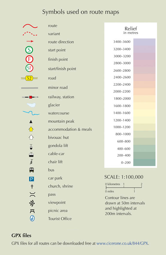
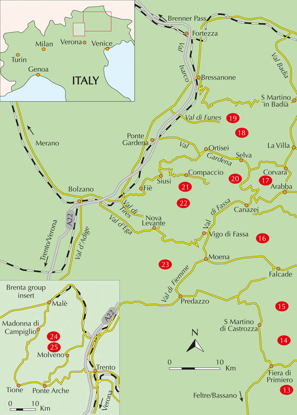
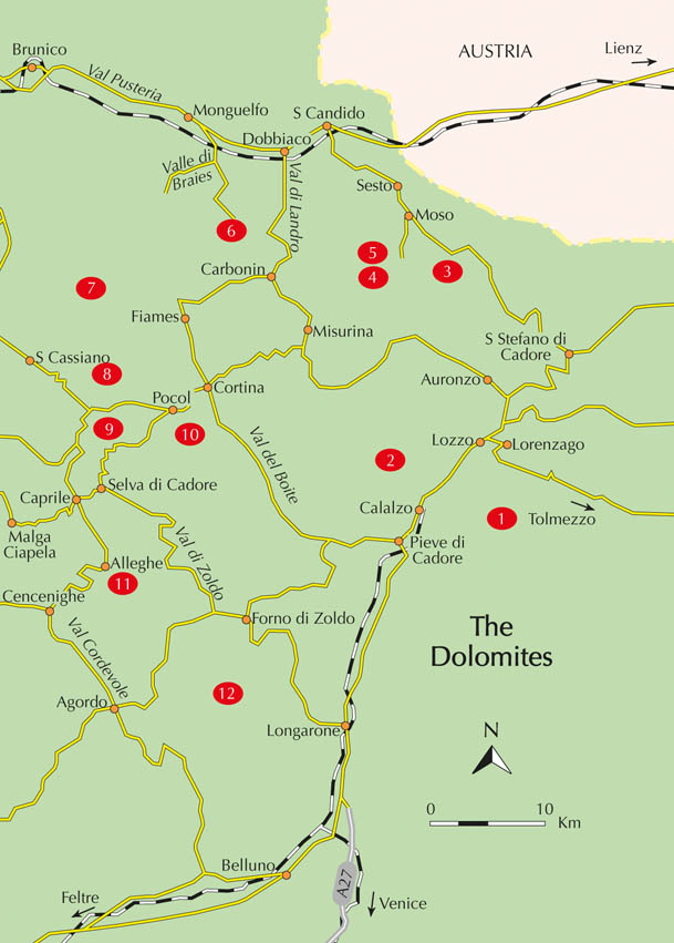
 Route mapping by Lovell Johns www.lovelljohns.com and Nicola Regine. Contains OpenStreetMap.org data OpenStreetMap contributors, CC-BY-SA. NASA relief data courtesy of ESRI


