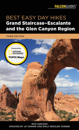
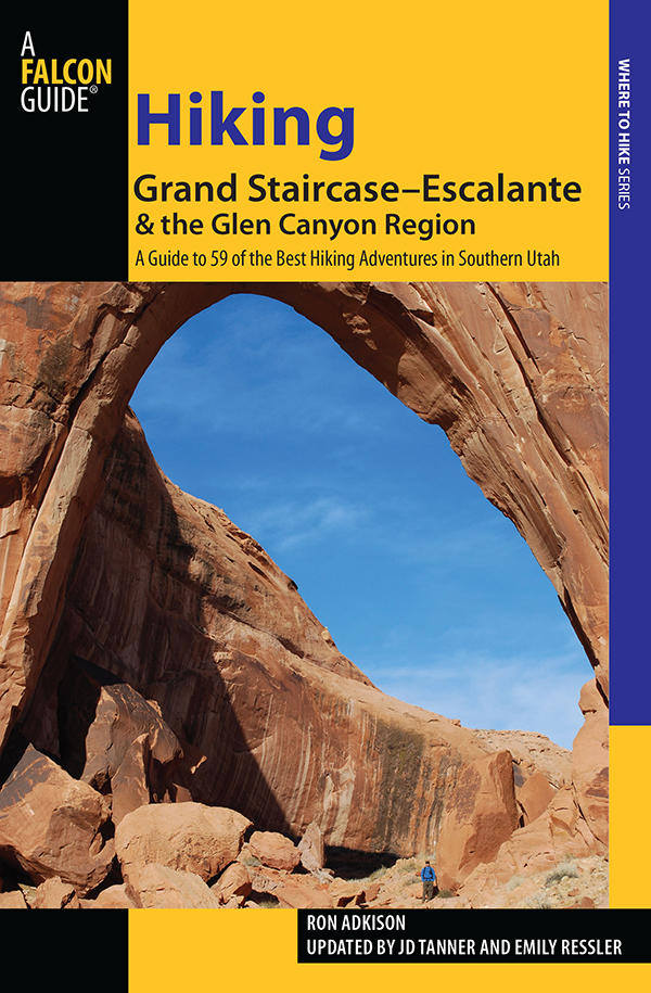
Hiking Grand StaircaseEscalante & the Glen Canyon Region
A Guide to 59 of the Best Hiking Adventures in Southern Utah
Second Edition
Ron Adkison
Updated by JD Tanner and Emily Ressler
HELP US KEEP THIS GUIDE UP TO DATE
Every effort has been made by the authors and editors to make this guide as accurate and useful as possible. However, many things can change after a guide is publishedtrails are rerouted, regulations change, techniques evolve, facilities come under new management, and so on.
We would appreciate hearing from you concerning your experiences with this guide and how you feel it could be improved and kept up to date. While we may not be able to respond to all comments and suggestions, well take them to heart, and well also make certain to share them with the authors. Please send your comments and suggestions to the following address:
GPP
Reader Response/Editorial Department
P.O. Box 480
Guilford, CT 06437
Or you may e-mail us at: editorial@GlobePequot.com
Thanks for your input, and happy trails!
Copyright 2011 by Morris Book Publishing, LLC
A previous edition was published in 1998 by Falcon Publishing, Inc.
ALL RIGHTS RESERVED. No part of this book may be reproduced or transmitted in any form by any means, electronic or mechanical, including photocopying and recording, or by any information storage and retrieval system, except as may be expressly permitted in writing from the publisher. Requests for permission should be addressed to Globe Pequot Press, Attn: Rights and Permissions Department, P. O. Box 480, Guilford CT 06437.
FalconGuides is an imprint of Globe Pequot Press.
Falcon, FalconGuides, and Outfit Your Mind are registered trademarks of Morris Book Publishing, LLC.
Maps by Design Maps Inc. Morris Book Publishing LLC
Project editor: Julie Marsh
Layout artist: Kevin Mak
Library of Congress Cataloging-in-Publication Data is available on file.
ISBN 978-0-7627-9727-1
The authors and Globe Pequot Press assume no liability for accidents happening to, or injuries sustained by, readers who engage in the activities described in this book.
Contents
Acknowledgments
Writing a guidebook to the canyon country of the Glen Canyon region was an enormous but unforgettable task. Although I hardly scratched the surface of hiking opportunities in this vast region, I learned much more than I had known previously about this fascinating landscape, one that I began exploring many years ago.
A number of extraordinary people not only helped me to complete this book, but they also offered generous support and guidance, helping to make the book more informative and useful.
Foremost among them was Neil Stufflebeam, the Bureau of Land Management (BLM) ranger at Kane Gulch Ranger Station. Few people know more about the backcountry and cultural history of Cedar Mesa than Neil, and over the course of many visits, Neil and I became good friends. He taught me more about the region than I would have thought possible.
Phil Gezon of the BLM office in Monticello, who is unquestionably one of the authorities on the Cedar Mesa area, was most gracious in answering an endless barrage of questions. Phil shared many documents and helped fill in the gaps in my knowledge of Cedar Mesa.
While in the Escalante region, I met ranger Jeff Lauersdorf, who generously offered time out of his busy schedule to answer questions and share insights and documents. If Jeff couldnt provide the answer to a question, he introduced me to someone who could. Without Jeffs help, many aspects of the Escalante region would have remained a mystery to me.
Mike Salamacha, whose knowledge of Paria Canyon and the Grand Staircase is equaled by few, was also very generous with his time and knowledge, answering questions and sharing documents.
Once again I must offer my thanks and gratitude to Phil Gezon and Mike Salamacha, and to Jim Bowman of the National Park Service and Jeanie Linn at the Escalante Interagency Visitor Center, for reviewing the manuscript and passing it along for further review by other experts in their offices. Without their comments, suggestions, and corrections, this book would be incomplete at best.
While in Grand Gulch I met Tom Klein, and together we explored that beautiful canyon, taking a most memorable journey. Its hard to find a better hiking partner than Tom.
Countless others, both in BLM offices and in the backcountry, shared their knowledge and offered valuable insights, and they, perhaps unknowingly, contributed enormously to this book.
Finally, I could not have begun this project, let alone have completed it, without the love, support, and understanding of my wife, Lynette, and children, Ben and Abbey. Its not easy running a ranch and shouldering all the other responsibilities of work and family on your own, but Lynette did it well, and she deserves great credit.
Ron Adkison February 1998
Additional thanks for help in revisions for the second edition to Steve Henry, backcountry park ranger with Glen Canyon National Recreation Area, and all the other land managers, guides, and local outdoor enthusiasts who provided guidance and expertise in updating this guide.
Emily Ressler and JD Tanner
January 2010
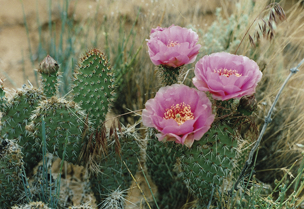
Prickly Pear Cactus. Ron Adkison
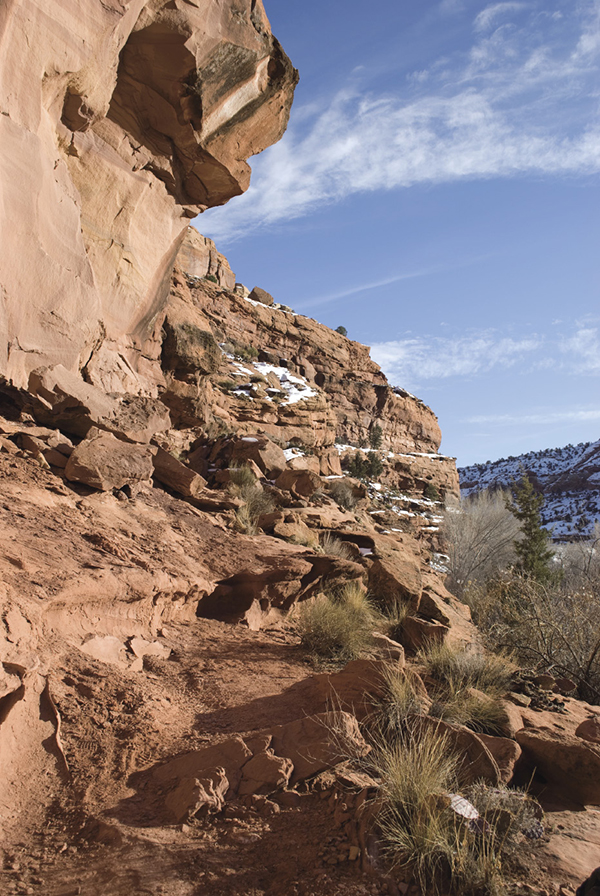
Escalante River Trail. Emily Ressler
Introduction
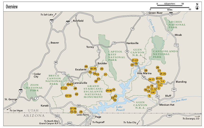
This guidebook focuses on the Glen Canyon region, an area that includes all the major canyon tributaries to the Colorado River (Lake Powell) in southern Utah and many lesser canyons. It also includes several hikes from Grand StaircaseEscalante National Monument.
Glen Canyon, named by John Wesley Powell during his 1869 Colorado River expedition, begins at the confluence with the Dirty Devil River, near Hite, Utah, and extends downcanyon to Lees Ferry, where Marble Canyon and the Colorado River flow southward toward the Grand Canyon (see overview map, page vi). At the maximum water level, Lake Powell stretches upriver from Glen Canyon Dam for 187 miles, inundating Glen Canyon, Narrow Canyon, and the lower end of Cataract Canyon. The San Juan Arm of the lake reaches up the canyon of the San Juan River nearly to the mouth of Grand Gulch.
When the floodgates closed on Glen Canyon Dam in 1963, the waters of the Colorado steadily began to fill Glen Canyon and its tributaries, until the lake reached full capacity in 1980. Slowly, by increments, the alcoves, glens, amphitheaters, cultural remains, and peaceful, undisturbed atmosphere of the idyllic canyon were lost. However, the tributaries to Glen Canyon remain much as they did in Powells day and indeed have changed little since the Anasazi made their home here.
The Colorado River carved an incomparable landscape in southern Utah, and erosion was the principal sculptor. The Glen Canyon region is a network of Colorado River tributaries, containing hundreds of all sizes. Only 10 to 12 miles separate the rims of the Grand Canyon, but the edges of the Colorado in the Glen Canyon region stretch 150 miles from the Pink Cliffs in the west to Elk Ridge and Cedar Mesa in the east. This is raw land, stripped to its bare bones by erosion.


