Haim Goren is Professor of Historical Geography, Tel-Hai College, Israel. He has a longstanding interest in the Holy Land, European activity in Ottoman Palestine and the Near East, and the history of the modern scientific study of these regions. His books include Dead Sea Level: Science, Exploration and Imperial Interests in the Near East (2011) and (with E. Dolev and Y. Sheffy) Palestine and World War I: New Perspectives (2014), both published by I.B.Tauris .
Jutta Faehndrich is a cultural historian and researcher with the Leibniz Institute for Regional Geography, where her research focus is on the history of cartography, European cultural history, and cultures of memory.
Bruno Schelhaas is Head of the Archive for Geography, Leibniz Institute for Regional Geography, Leipzig, Germany. His interests include the history of geography and cartography, historical geography and archival science.
Mapping the Holy Land is a scholarly yet accessible work that presents for the first time a detailed account of the activities that gave rise to the first scientific maps of Palestine, in the nineteenth century. The authors examine the work of three major figures Augustus Petermann, Charles Meredith van de Velde, and Edward Robinson and the influence that German geographical thought of the period had upon them. Drawing upon recently discovered archival material, the authors have produced a work that will enrich and engage all those with an interest in the development of maps and the Holy Land. Gideon Biger, Professor Emeritus, Department of Geography and Human Environment, Tel Aviv University
This book by three authors who are experts in their fields of archival science, the history of cartography, historical geography, and cultural history, sets an exemplary standard for detailed research into archives which have been hitherto unexploited for their content as far as the mapping of the Holy Land in the nineteenth century is concerned. Much is revealed, not only of the map compilation methods and commercial map publishing practices of those times, but we also learn of the more elusive human stories behind what were the ground-breaking cartographic products of their time for this area. There is a cornucopia of new material here, which will be relevant to a readership that goes beyond the geographical limits of the Holy Land. This presentation of substantial original research into the major nineteenth-century German map publishers and mapmakers, and their associates, provides an inestimable service to all students of map history whatever their geographical focus. This book must rank as a major contribution to the subject of the history of cartography in general, as well as an essential reference for the mapping of the Holy Land in the nineteenth century in particular. Dr Yolande Hodson, Formerly Honorary Secretary of the Palestine Exploration Fund
TAURIS HISTORICAL GEOGRAPHY SERIES
Series Editor: Robert Mayhew, University of Bristol
Editorial Board:
David Armitage, Harvard University.
Jeremy Black, Exeter University.
Laura Cameron, Queens University, Ontario.
Felix Driver, Royal Holloway, University of London.
Michael Heffernan, Nottingham University.
Nuala Johnson, Queens University, Belfast.
David Livingstone, Queens University, Belfast.
David Matless, Nottingham University.
Miles Ogborn, Queen Mary, University of London.
David Robinson, Syracuse University.
Charles Withers, Edinburgh University.
Brenda Yeoh, National University of Singapore.
Published and forthcoming in the Series:
- Zambesi: David Livingstone and Expeditionary Science in Africa by Lawrence Dritsas
- New Spaces of Exploration: Geographies of Discovery in the Twentieth Century by Simon Naylor and James R. Ryan (eds)
- Scriptural Geography: Portraying the Holy Land by Edwin James Aiken
- Bringing Geography to Book: Ellen Semple and the Reception of Geographical Knowledge by Innes M. Keighren
- Enlightenment, Modernity and Science: Geographies of Scientific Culture and Improvement in Georgian England by Paul A. Elliot
- Dead Sea Level: Science, Exploration and Imperial Interests in the Near East by Haim Goren
- Nature Displaced, Nature Displayed: Order and Beauty in Botanical Gardens by Nuala C. Johnson
- Geography and the Classical World: Unearthing Historical Geographys Forgotten Past by William A. Koelsch
- Imagining the Arctic: Heroism, Spectacle and Polar Exploration by Huw Lewis-Jones
- The First Mapping of America: The General Survey of British North America by Alex Johnson
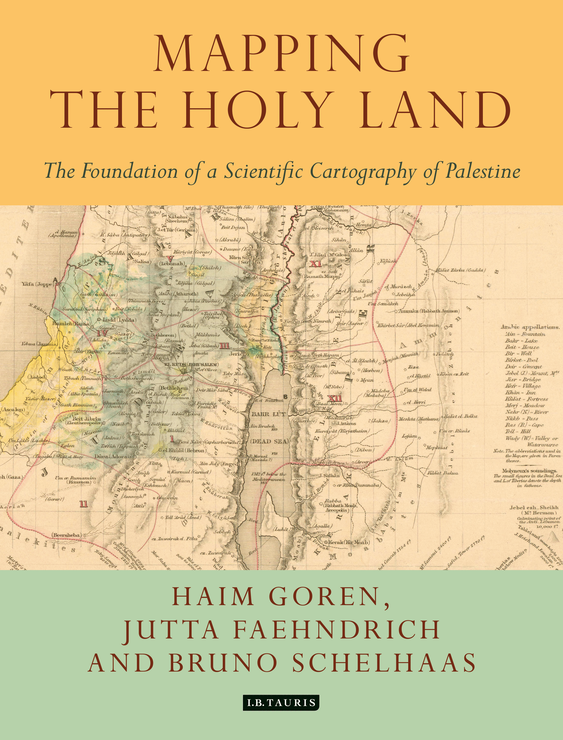
- Mapping the Holy Land: The Foundation of a Scientific Cartography of Palestine by Haim Goren, Jutta Faehndrich and Bruno Schelhaas
- The Idea of Central Europe: Geopolitics, Culture and Regional Identity by Otilia Dhand
Mapping the Holy Land
The Foundation of a Scientific Cartography of Palestine
HAIM GOREN, JUTTA FAEHNDRICH AND BRUNO SCHELHAAS with PETRA WEIGEL

Published in 2017 by
I.B.Tauris & Co. Ltd
London New York
www.ibtauris.com
Copyright 2017 Haim Goren, Jutta Faehndrich, Bruno Schelhaas and Petra Weigel
The right of Haim Goren, Jutta Faehndrich, Bruno Schelhaas and Petra Weigel to be identified as the authors of this work has been asserted by the authors, in accordance with the Copyright, Designs and Patents Act 1988.
All rights reserved. Except for brief quotations in a review, this book, or any part thereof, may not be reproduced, stored in or introduced into a retrieval system, or transmitted, in any form or by any means, electronic, mechanical, photocopying, recording or otherwise, without the prior written permission of the publisher.
Every attempt has been made to gain permission for the use of the images in this book. Any omissions will be rectified in future editions.
References to websites were correct at the time of writing.
ISBN: 978 1 78453 454 7
eISBN: 978 0 85772 983 5
ePDF:978 0 85772 785 5
Tauris Historical Geography 11
A full CIP record for this book is available from the British Library
A full CIP record is available from the Library of Congress
Library of Congress Catalog Card Number: available
Typeset by Saxon Graphics Ltd, Derby
Contents
Haim Goren
Jutta Faehndrich
Bruno Schelhaas
Figures
Daniel Huntingdon, Edward Robinson, D. D., L. L. (17941863). Class of 1816, 1858
Julius Ludwig Grimm, Palaestina (Palestine ) (Berlin, 1830)
Heinrich Kiepert, photography, 1891
Heinrich Kiepert, Plan of Jerusalem sketched from Sieber and Catherwood, corrected by the Measurements of Robinson and Smith (Berlin, 1841)
John Arrowsmith, Map to illustrate Outlines of a Journey in Palestine in 1852 by the Rev. Dr. E. Robinson (London, 1854)
Heinrich Kiepert, Plan von Jerusalem nach den Untersuchungen von Dr. Ernst Gustav Schultz, K. Preuss. Consul in Jerusalem ( Plan of Jerusalem according to Ernst Gustav Schultz ) (Berlin, 1845)
Birth entry of Charles William Meredith van de Velde
Charles William Meredith van de Velde, photography, c .1863
C.W.M. van de Velde, Map of the Holy Land (Gotha, 1858), sections 18
Karte von Syrin und Palaestina. Zur Erlaeuterung der Reiseroute von C.W.M. van de Velde in 1851 und 1852. (Map of Syria and Palestine. Illustrating the Travel Route of C.W.M. van de Velde in 1851 and 1852)


