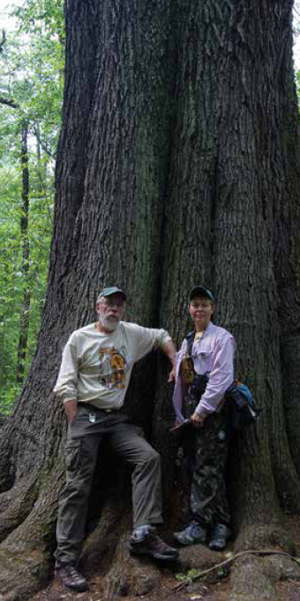
Newly retired, MICHAEL JEFFORDS was the longtime education/outreach director for the Illinois Natural History Survey (INHS). Jeffords is an entomologist, freelance photographer, writer, and educator. He was staff photographer for the Illinois Steward magazine. Also recently retired, SUSAN POST was an INHS research scientist and staff writer for the Illinois Steward magazine. Post is the author of Hiking Illinois (2nd edition, Human Kinetics, 16,000 sold). Jeffords and Post are the co-authors of Illinois Wilds (1995, Phoenix Publishing). They are also co-directors of the Illinois Wilds Institute for Nature (IWIN), an INHS program that offers public field courses on Illinois biology.

AS WE EXPLORED THE STATE, many people made the job easier. Our thanks go to all the staff members and volunteers at nature centers, state parks, and forest preserves for answering our innumerable questions and providing maps to their sites. Several friends went beyond just answering questions and either took us directly to sites to see what was going on or provided additional access: Molie Oliver at Cache River State Natural Area, Stacy Iwanicki at Volo Bog State Natural Area, Terry Esker at Ballard Nature Center, Mike Brown and staff at Cypress Creek National Wildlife Refuge, and Randy, Angela, and Jill at Sugar Grove Nature Center. Jim Waycuilis at Cache River State Natural Area and Liz Jones at Cypress Creek National Wildlife Refuge went above and beyond mere maps and information. They welcomed us with southern Illinois hospitality and friendship.
Randy Nyboer provided access to and information about northwestern Illinois sites; Fran Hardy provided maps, information, and blooming times for the Kankakee Sands area. Jan Sundberg shared her observations on Cedar Lake, while Jane Ward provided updates on waterfowl and dragonfly happenings at Emiquon. Jim Wiker provided butterfly identification, information on where to find certain species, and accompanied us into the field on several occasions. Le Ann Benner, retired from the Illinois State Geological Survey, always had the right topo map or geological publication for our explorations. The Prairie Research Institute library staff provided access to much needed, often obscure reference materials, and were always ready to find information for us.
While all of our Illinois Natural History Survey colleagues are willing to share information and help identify specimens, we must single out a few special individuals. Dave Enstrom provided the initial impetus for the project. Diane Greer and Diane Szafoni created the location maps. Jamie Ellis used his expertise as a technical editor for the manuscript and Connie Carroll Cunningham provided valuable insight into Vermilion County and was always ready to identify a plant. Charles Warwick was a copyeditor for the book, Danielle Ruffato helped us with indexing, and Jen Mui contributed her expertise on all things reptile and amphibian, and accompanied us on several forays. Patty Dickerson scanned and sized many photos, was always curious about what we saw, and offered many words of encouragement. Patty, and her son Neil, also cared for Lark during our absences. And finally, thanks to Lark (our guinea pig), who always had wheeks of encouragement.

Directions to Sites
APPLE RIVER CANYON STATE PARK The park is located three miles from the Wisconsin border in northwestern Illinois. From Route 78, take East Canyon Road west into the park.
AYERS SAND PRAIRIE NATURE PRESERVE From Savanna at the junction of Routes 52 and 84, take Route 84 south 2.7 miles to Airport Road; turn and go east 0.5 miles. The nature preserve is north of the road.
BALLARD NATURE CENTER From Altamont, take US 40 east approximately 2.25 miles to the entrance on the right. From Effingham, take US 40 west approximately 8.75 miles to the entrance on the left. The nature center's sign is at the entrance road.
BEALL WOODS STATE PARK AND NATURAL AREA Beall Woods is in southeastern Illinois off Route 1 near Keensburg, about 10 miles north of I-64. From Keensburg, take County Road 900N 1.5 miles east to the park.
BELL SMITH SPRINGS & BURDEN FALLS Drive south from Harrisburg on Route 145 and turn right (west) on Forest Route (FR) 402 at Delwood. Burden Falls is located approximately 3 miles from Delwood, with a small parking area just past the stream ford. After visiting the falls, proceed to a T-junction with FR 447. Turn left and head south past Teal Pond to FR 848. Turn right onto FR 848. At the park entrance sign, go 1.6 miles farther to a right turn that leads down to Hunting Branch Picnic Area. To reach the main parking area for Bell Smith Springs, continue to the end of FR 848.
BIG TREE ACCESS AREA The access is located northwest of Karnak. From Route 169, just west of Karnak, turn north on Porter House Road and proceed approximately 1 mile to a small parking area on the right. A short trail leads to the large trees.
BLUFF SPRING FEN NATURE PRESERVE Take US 20 to the southeast side of Elgin. At the intersection (stoplight) of US 20 and Bluff City Blvd. (also known as Shales Parkway), turn south. Follow Bluff City Blvd. as it curves to the east. Go 1 mile to the main entrance of Bluff City Cemetery. Turn left and follow the signs through the cemetery (Central Ave.) to a small parking area at the entrance to the fen on the cemetery's southern edge.
CEDAR LAKE & LITTLE CEDAR LAKE Cedar Lake is 11 miles south of Murphysboro. Take Route 127 9 miles south of Murphysboro. Turn east (left) onto Dutch Ridge Road. After 1.2 miles, turn right onto Cove Hollow Road, which dead ends at the parking area/trailhead. Little Cedar Lake is south of Cedar Lake. Take Route 127 approximately 11 miles south of Murphysboro. Turn east (left) onto Landreth Road and travel about a mile. Unless you have a high-clearance vehicle, the last half-mile is over a steep, deeply rutted road, so proceed with caution, or park here and walk in.
DEVIL'S KITCHEN LAKEROCKY BLUFF TRAIL Devil's Kitchen Lake is located southwest of Carbondale. Take Route 13 east from Carbondale to Refuge/Spillway Road and wind around Crab Orchard Lake for several miles; a park sign will direct you to Devil's Kitchen Lake. Once there, follow the road that skirts the lake. The parking area for the trail will be on your left, just after crossing a small bridge. Note: You must obtain a parking permit at the visitors center on Highway 148.
EMIQUON PRESERVE From Havana on Route 136, cross the Illinois River and head north on Route 78/97. The preserve access point is on the east side of the road, approximately 2 miles north.
FERNE CLYFFE STATE PARK The park is located on Illinois 37, 1 mile south of Goreville, and 12 miles south of Marion. It is also easily accessible from both I-57 and I-24. Take exit 7 from I-24, and head west to Route 37. The park entrance is a short distance south on Route 37. From I-57, take exit 40 and drive east to Route 37 and south to the entrance.
FOREST GLEN PRESERVEFOREST GLEN SEEP AND RUSSELL M. DUFFIN NATURE PRESERVES Forest Glen is located in southern Vermilion County and is 7 miles northeast of Georgetown. From the junction of Highway 1 and blacktop road 1200N in Westville, turn east and follow the blacktop road east and south for 5 miles; turn and go east 1.8 miles to the entrance of the preserve. The Duffin preserve is on the east side of the entrance road. Forest Glen Seep is located downhill from the group campground. The road to the group campground is often barricaded, requiring a mile hike to the seep.
Next page
