One
THE POST-RANCHO PERIOD
18801907
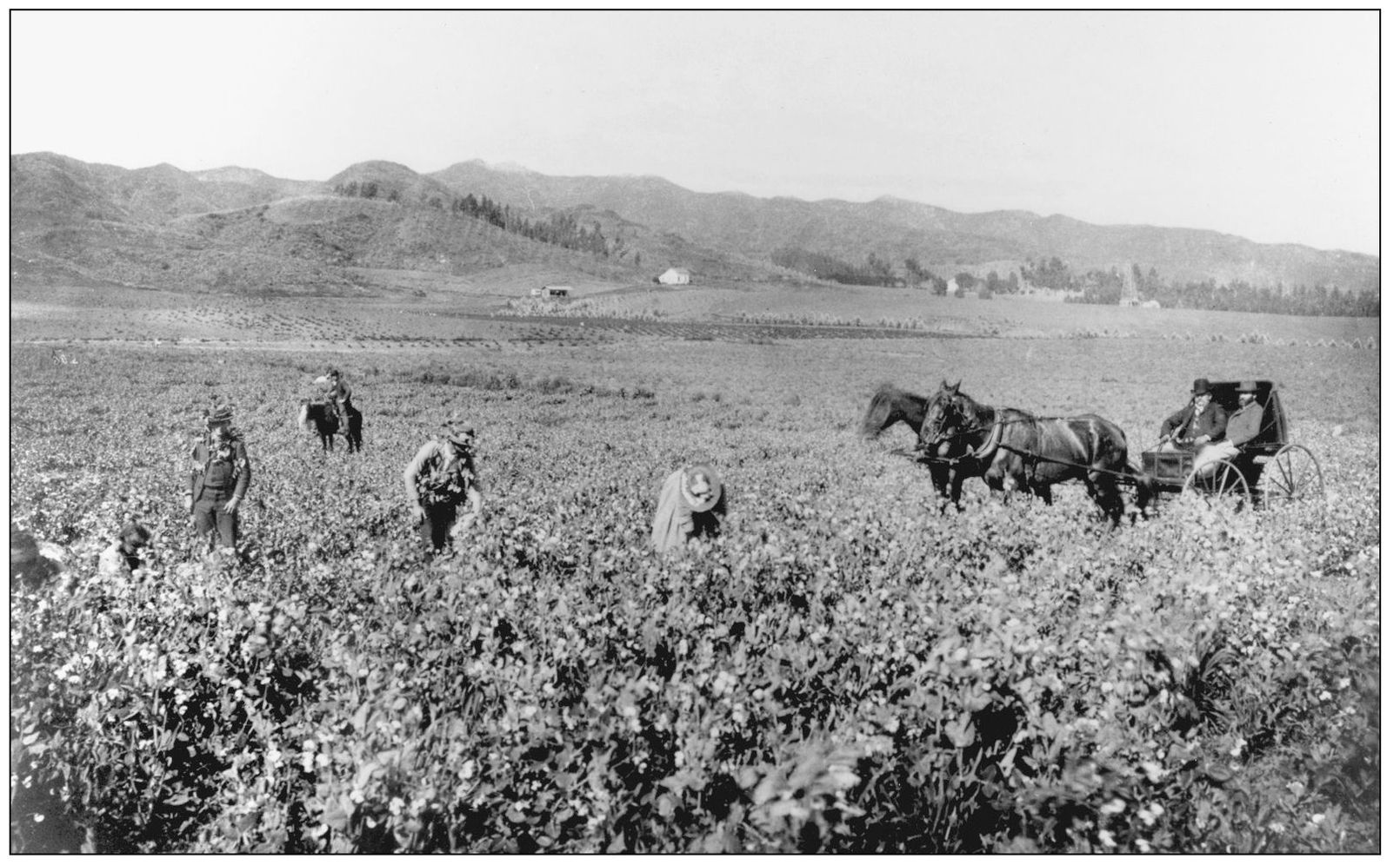
With the end of the 19th century, the ranchos of the Los Angeles area were becoming subdivided, having been purchased by Anglo entrepreneurs. Nearly the entire rancho was divided into 75-acre farm lots, with the center being the proposed town of Santa Maria. By the 1880s, the rancho began to be acquired parcel by parcel by Charles Denker and Henry Hammel, managers of the elegant and prosperous United States Hotel, located at Main and Market Streets in downtown Los Angeles. The Hammel and Denker Ranch soon grew into a country settlement, which became the first farming community in the area. With the land boom of the 1880s, easterners flocked to California in search of real estate bargains. In 1887, the Coldwater School District was formed and a small school opened at the entrance to Coldwater Canyon. In 1900, with the boom in the oil business, a group of investors including Burton Green, Charles A. Canfield, Max Whittier, Frank Buck, Henry Huntington, and W. G. Kerckhoff, through their Amalgamated Oil Company, purchased the Hammel and Denker Ranch holdings for development. With the coming of rail transportation throughout the Los Angeles area, the lone station on their property was named Morocco Junction. The only place where you could find this name was on a trolley station that was once located at what is now Santa Monica Boulevard and Canon Drive. After drilling for oil, the company instead struck water. The company reorganized into the Rodeo Land and Water Company and turned to the development of the land into a residential community in 1907.
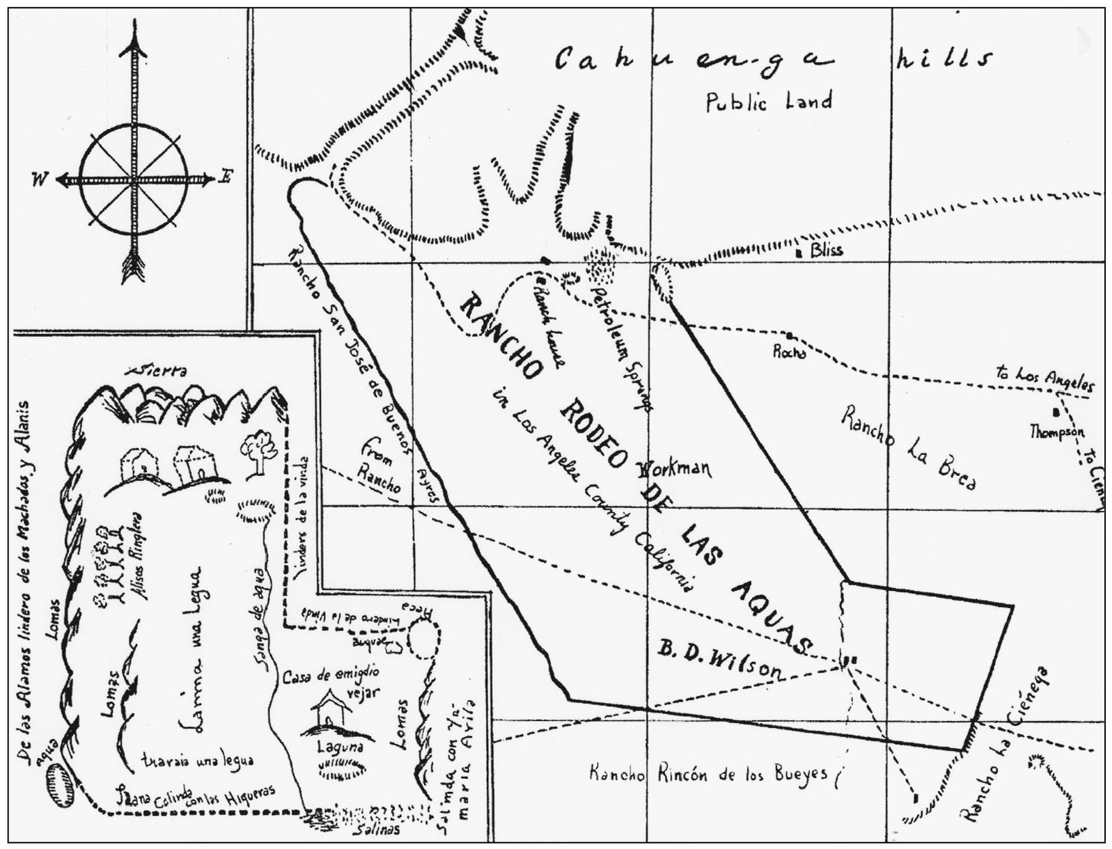
MAP OF EL RODEO DE LAS AGUAS RANCHO, 1868. When Maria Rita Valdez de Villa had her rancho property certified in 1868, G. Howard Thompson, deputy U.S. surveyor, mapped out the ranchos boundaries. The inset shows the drawing made from the original rancho map of 1838, which accompanied Maria Ritas original claim.
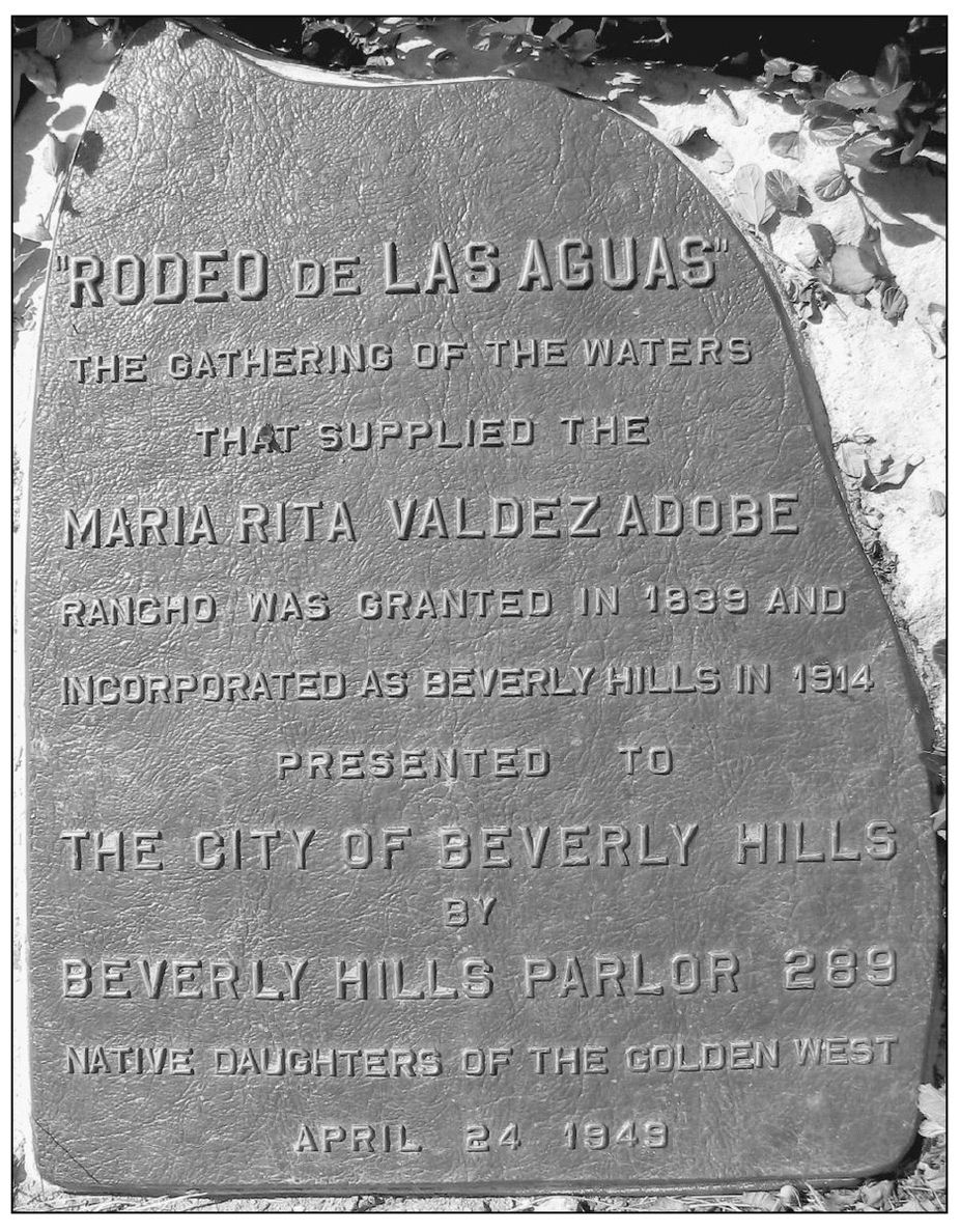
RODEO DE LAS AGUAS PLAQUE. This plaque in Coldwater Park was dedicated by the Native Daughters of the Golden West in 1949 to commemorate the meeting of the streams that freely flowed out of the hills into Rancho San Antonio or Rancho Rodeo De Las Aquas.
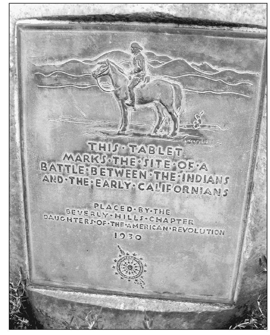
LAST RANCHO INDIAN BATTLE SITE. This plaque marks the site of the last Indian battle, in 1852, on Rancho San Antonio. The site at Chevy Chase and Benedict Canyon Drive was commemorated in 1930 by the Daughters of the American Revolution.
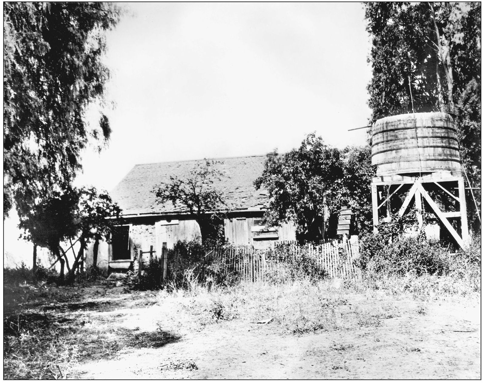
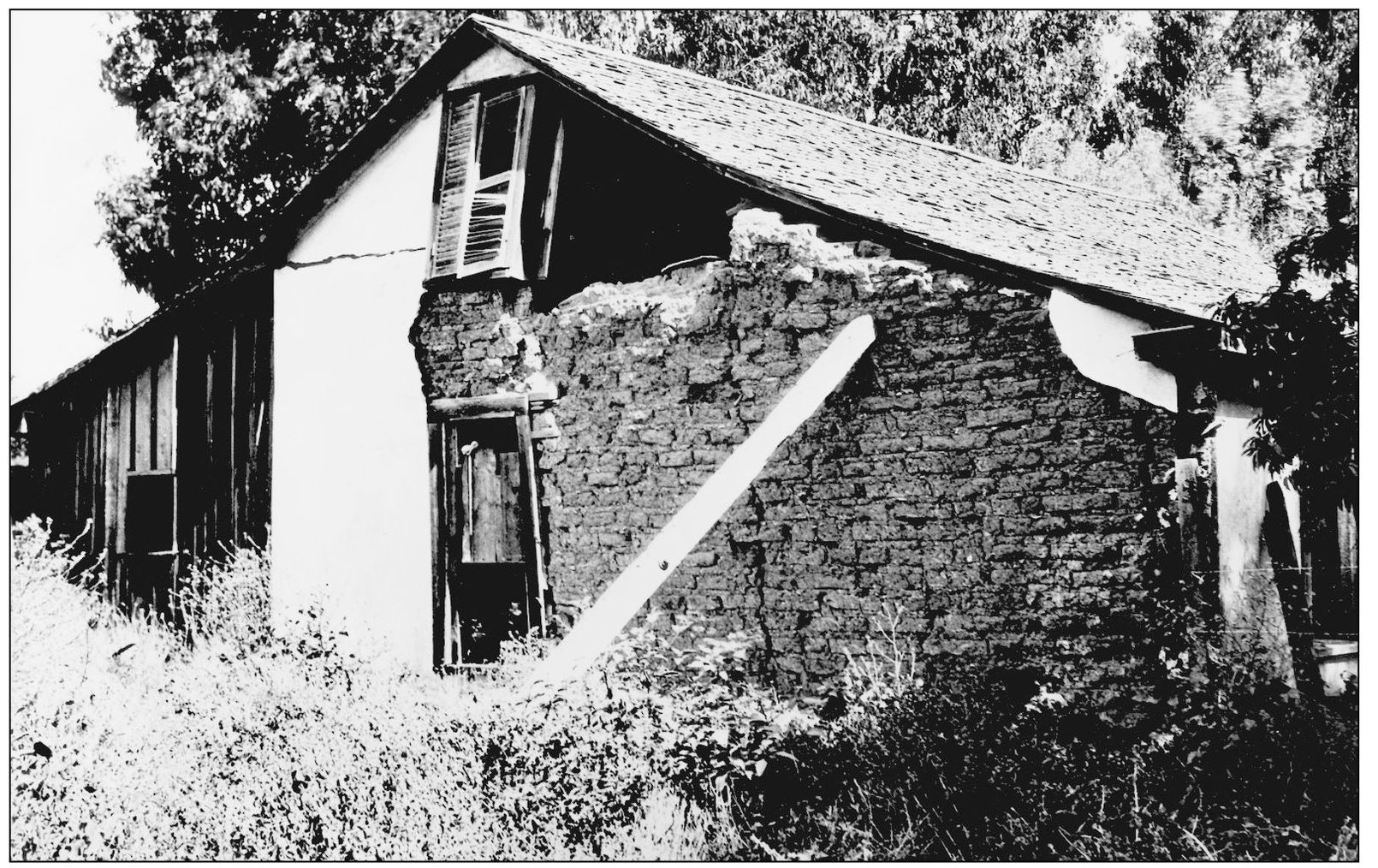
ANTONIO ROCHES ADOBE, 1900. This crumbling adobe house was one of several on the Hammel and Denker Ranch that dominated the area in and around what is now Beverly Hills.
ROCHES ADOBE, 1900. Pictured is one of several buildings that later constituted the Hammel and Denker Ranch during the 1880s. The Roches Adobe buildings were once located in the area of what is now Third Street and Robertson Boulevard, just outside the present-day boundaries of Beverly Hills.
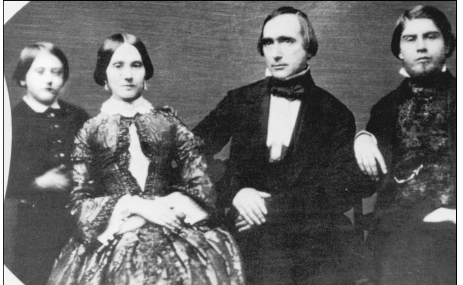
BENITO WILSON AND FAMILY, 1878. Benjamin Davis Wilson is pictured with his second wife, her son Edward, and her nephew Tom. Wilson was a former mayor of Los Angeles in 1851, and by 1865, along with his partners he formed the Pioneer Oil Company. He and Henry Hancock purchased Rancho San Antonio (El Rodeo de las Aguas) in 1854 from Dona Maria Valdez de Villa.
GEORGE HANSEN RANCH, 1890s. The Hansen property was located near Sunset and Alpine at what was once a part of the Maria Valdez land grant. George Hansen was a Los Angeles city surveyor who mapped out the subdivision of the entire former Rancho de las Aguas in the 1880s.



![Beverly M Lewis] - The Beverly Lewis Amish Heritage Cookbook](/uploads/posts/book/96304/thumbs/beverly-m-lewis-the-beverly-lewis-amish-heritage.jpg)
