

Overview Map Key
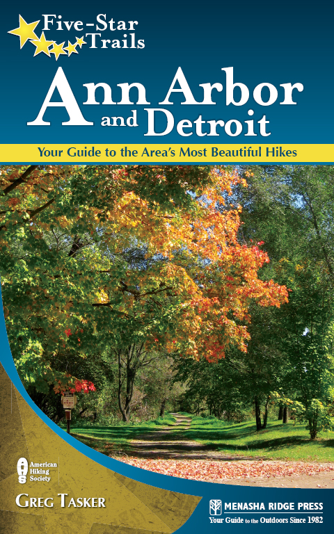
Five-Star Trails: Ann Arbor & Detroit Your Guide to the Areas Most Beautiful Hikes
Copyright 2011 by Greg Tasker
All rights reserved
Published by Menasha Ridge Press
Distributed by Publishers Group West
Printed in the United States of America
First edition, first printing
Cover design by Scott McGrew
Cover photographs by Greg Tasker
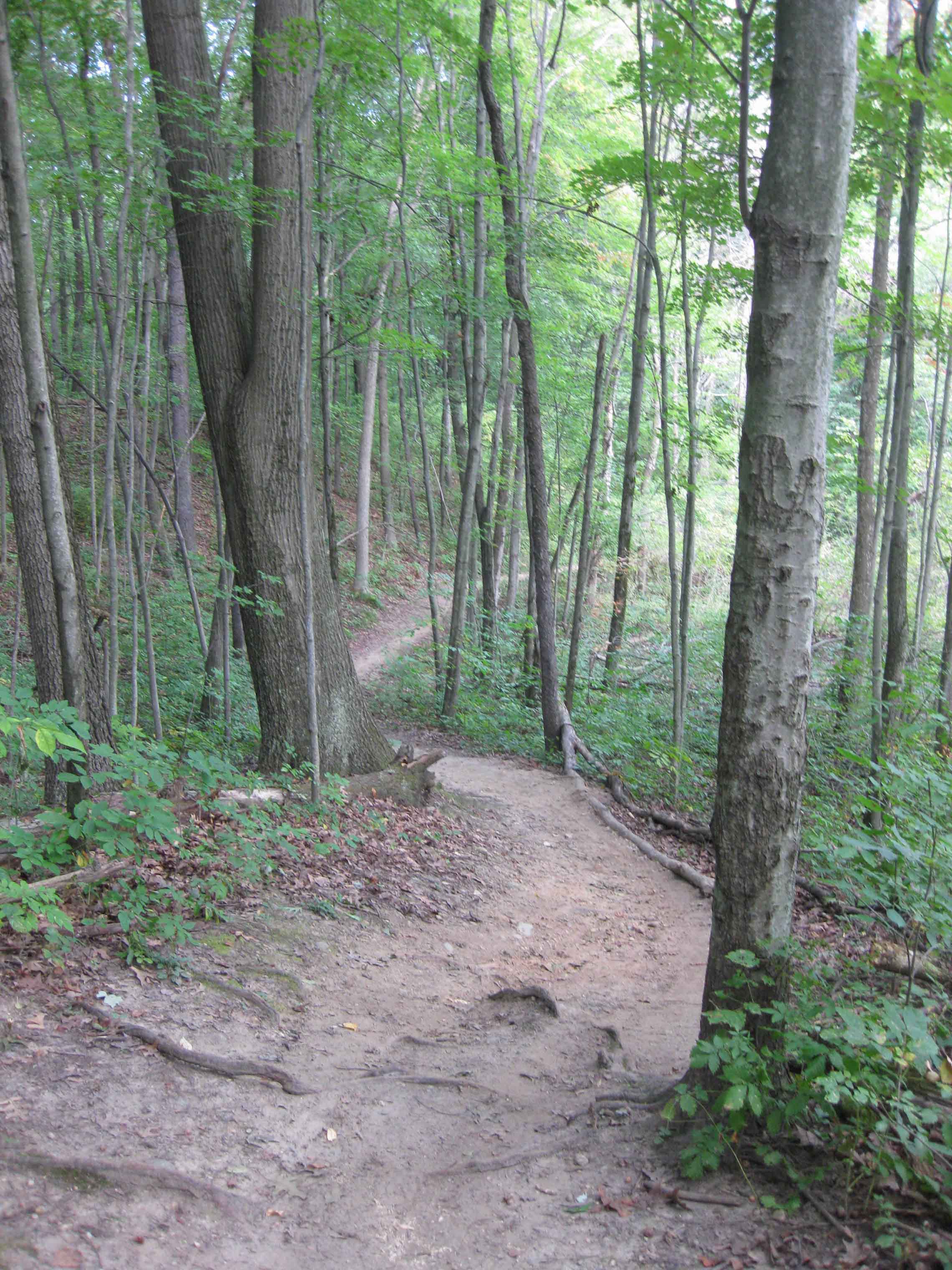
Frontispiece: Along the
Text design by Annie Long
Author photograph by Victoria Valan
Interior photographs by Greg Tasker and Roni Leibovitch
Cartography and elevation profiles by Scott McGrew
Library of Congress Cataloging-in-Publication Data
Tasker, Greg.
Five-star trails, Ann Arbor and Detroit: your guide to the areas most beautiful hikes/Greg Tasker.1st ed.
p. cm.
Summary: Each hike features an individual trail map, elevation profile, and at-a-glance information, helping readers quickly find the perfect trip. Sized to fit in a pocket, the books detailed trail descriptions will help readers find their way on and off the trail. Driving directions and GPS trailhead coordinates will help with navigating the myriad of unnamed roads. The trails covered range from those best suited to the novice, families, experienced hikers, or backpackers.Provided by publisher.
ISBN-13: 978-0-89732-952-1 (pbk.)
ISBN-10: 0-89732-952-X ()
1. HikingMichiganAnn ArborGuidebooks. 2. HikingMichiganDetroitGuidebooks. 3. TrailsMichiganAnn ArborGuidebooks. 4. TrailsMichiganDetroitGuidebooks. 5. MichiganGuidebooks. I. Title.
GV199.42.M5T37 2011
917.743dc22
2011015832
Menasha Ridge Press
P.O. Box 43673
Birmingham, AL 35243
menasharidgepress.com
DISCLAIMER
This book is meant only as a guide to select trails in Ann Arbor, Detroit, and the greater metropolitan area of those cities. This book does not guarantee hiker safety in any wayyou hike at your own risk. Neither Menasha Ridge Press nor Greg Tasker is liable for property loss or damage, personal injury, or death that result in any way from accessing or hiking the trails described in the following pages. Please be especially cautious when walking in potentially hazardous terrains with, for example, steep inclines or drop-offs. Do not attempt to explore terrain that may be beyond your abilities. Please read carefully the introduction to this book as well as further safety information from other sources. Familiarize yourself with current weather reports and maps of the area you plan to visit (in addition to the maps provided in this guidebook). Be cognizant of park regulations and always follow them. Do not take chances.
Dedication
To my grandmother Delia Marsh and my late grandfather Ronald LaForge, who led memorable treks into the northern Michigan woods and planted the seeds for a lifelong affinity for hiking and nature.
Acknowledgments
I would like to thank the Sierra Club for helping me gain a sense of the variety and abundance of trails in southeast Michigan. Its comprehensive list of day-hiking areas around Detroit was an invaluable guide. Club leaders suggestions included such gems as the Lloyd A. Stage Nature Center in Troy and the Orchard Lake Nature Sanctuarywoodsy escapes in the middle of suburbia. Both are included in this book.
Recommendations for trails also came from other sources, including members of the Michigan Adventurers Club; we share enthusiasm for many of the same hikes in metro Detroit and Ann Arbor. The staff at state recreation areas and metroparks also were helpful in making suggestions and providing details on fauna, foliage, and history.
One of my constant companions on the trail during three springs and falls of hiking was my mom. Thanks for your eagerness to explore with me, and for your company. Hiking with my daughters, Courtney and Chelsea, made for memorable autumn outings.
And to a host of friendsJohn, Roni, Molly, Kevin, Cindy, Christopher, Peter, William, Michelle, Billy, and Kelliethanks for coming along and for your interest in the book.
And lastly, to the staff at Menasha Ridge Press. Scott McGrew, thanks for dealing with my maps. And to my editors: Molly Merkle, I appreciate your patience; and Susan Haynes, thanks for helping me to narrow the books focus, to get organized, and to get back on track.
Preface
You can hike in metropolitan Detroit.
That comes as a surprise to most people.
It came as a surprise to me.
Thats because my first hike in the regiona few years agowas a disaster. I no sooner stepped on a trail at a state recreation area than I was run over by an endless parade of mountain bikers. My guidebook never mentioned that bikers used the trail. And the attendant at the park entrance gave no warning either, even though I asked several questions about the trail.
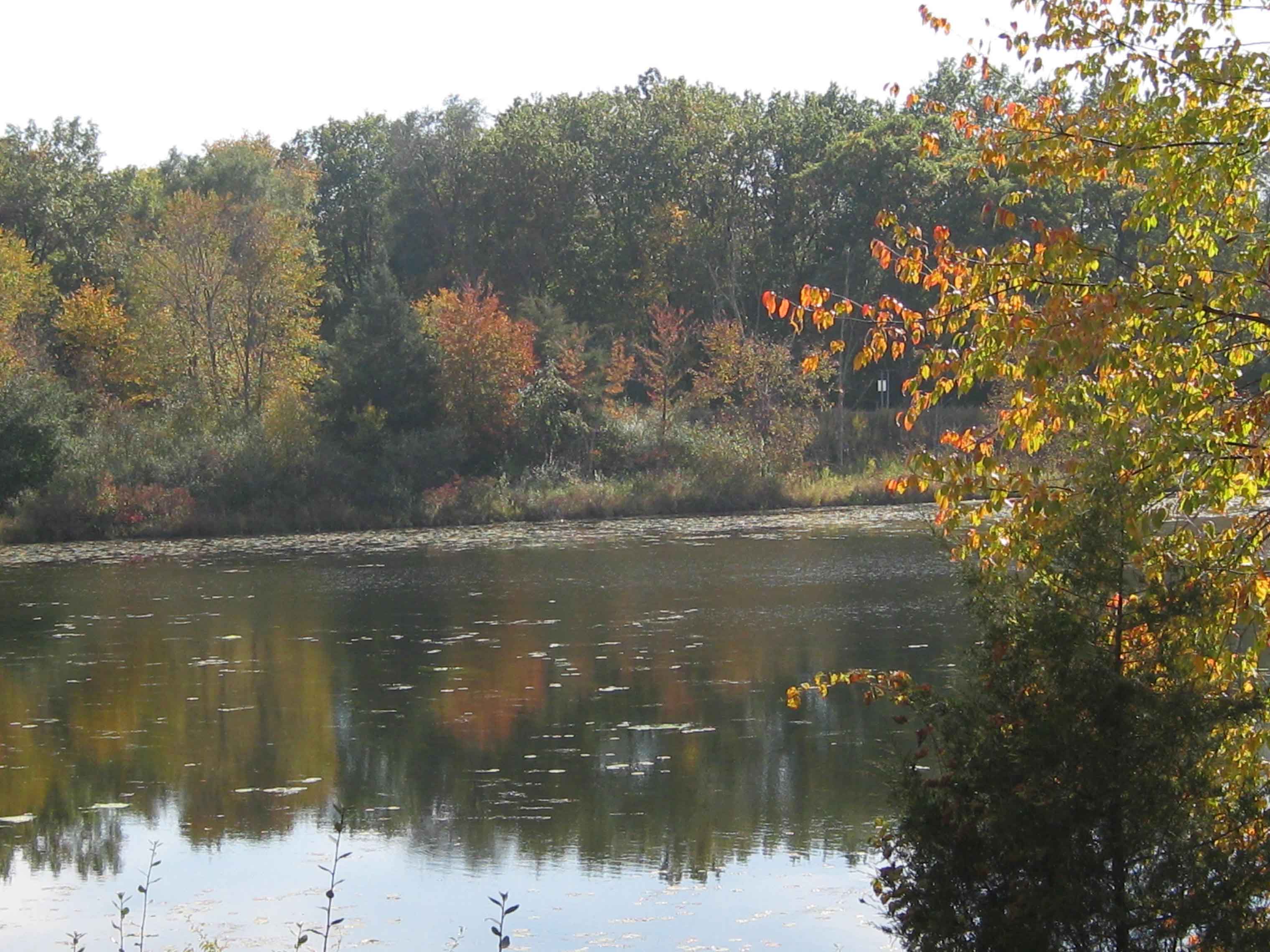
For a long time I thought hiking in metropolitan Detroit was a lost cause, but in researching this book, I learned that the region is rife with trails. Hiking is an outdoor pursuit that gets little attention, despite an abundance of trails at state recreation areas, metroparks, county parks, and nature centers. While these trails lack vistas as rewards for a days hike, they are no less scenic as they pass through hardwood forests, wetlands, and prairies and around lakes. Hike one in late September or early October with oaks and maples ablaze with color, and youd be hard-pressed to find a more captivating landscape anywhere.
Whats more, the region is home to one of the most extensive network of rail-trails, abandoned rail lines turned into recreational paths, in the country. Two of the most popular, Paint Creek Trail and the West Bloomfield Trail, are featured in this book. Both are gentle trails that pass through varied terrain near picturesque communities. The trails, too, provide glimpses of nature even as they traverse urban areas. They also connect to other rail-trails, uniting communities from one end of Oakland County to the other. And you will have to share these trails with bikers, runners, and inline skaters.
If a hike in the city is more to your liking, you wont do better than the Detroit RiverWalk and the Dequindre Cut Greenway. The RiverWalk runs along the Detroit River from Joe Louis Arena to William G. Milliken State Park and Harbor, east of the Renaissance Center in downtown Detroit. The pathway offers great views of the river and Windsor and Detroit landmarks. It ends at a beautiful state park, Michigans only urban state park. The RiverWalk is connected to another urban trail, the Dequindre Cut Greenway, which juts north along an old commuter rail line from Rivertown to Eastern Market. The market is an ideal ending or beginning on Saturdays when the market is abuzz with vendors selling vegetables, fruits, canned and baked goods, flowers, and meats. Just over a mile long, the trail runs mostly below street level, and its cement walls have become canvases for graffiti artists.
Next page
