Abernathy - Using geodata and geolocation in the social sciences: mapping our connected world
Here you can read online Abernathy - Using geodata and geolocation in the social sciences: mapping our connected world full text of the book (entire story) in english for free. Download pdf and epub, get meaning, cover and reviews about this ebook. City: London, year: 2017;2016, publisher: Sage Publications, Ltd., genre: Politics. Description of the work, (preface) as well as reviews are available. Best literature library LitArk.com created for fans of good reading and offers a wide selection of genres:
Romance novel
Science fiction
Adventure
Detective
Science
History
Home and family
Prose
Art
Politics
Computer
Non-fiction
Religion
Business
Children
Humor
Choose a favorite category and find really read worthwhile books. Enjoy immersion in the world of imagination, feel the emotions of the characters or learn something new for yourself, make an fascinating discovery.
Using geodata and geolocation in the social sciences: mapping our connected world: summary, description and annotation
We offer to read an annotation, description, summary or preface (depends on what the author of the book "Using geodata and geolocation in the social sciences: mapping our connected world" wrote himself). If you haven't found the necessary information about the book — write in the comments, we will try to find it.
Abernathy: author's other books
Who wrote Using geodata and geolocation in the social sciences: mapping our connected world? Find out the surname, the name of the author of the book and a list of all author's works by series.


Using geodata and geolocation in the social sciences: mapping our connected world — read online for free the complete book (whole text) full work
Below is the text of the book, divided by pages. System saving the place of the last page read, allows you to conveniently read the book "Using geodata and geolocation in the social sciences: mapping our connected world" online for free, without having to search again every time where you left off. Put a bookmark, and you can go to the page where you finished reading at any time.
Font size:
Interval:
Bookmark:
Mapping our Connected World
- David Abernathy

SAGE Publications Ltd
1 Olivers Yard
55 City Road
London EC1Y 1SP
SAGE Publications Inc.
2455 Teller Road
Thousand Oaks, California 91320
SAGE Publications India Pvt Ltd
B 1/I 1 Mohan Cooperative Industrial Area
Mathura Road
New Delhi 110 044
SAGE Publications Asia-Pacific Pte Ltd
3 Church Street
#10-04 Samsung Hub
Singapore 049483
David Abernathy, 2017
First published 2017
Apart from any fair dealing for the purposes of research or private study, or criticism or review, as permitted under the Copyright, Designs and Patents Act, 1988, this publication may be reproduced, stored or transmitted in any form, or by any means, only with the prior permission in writing of the publishers, or in the case of reprographic reproduction, in accordance with the terms of licences issued by the Copyright Licensing Agency. Enquiries concerning reproduction outside those terms should be sent to the publishers.
BSD Licence information
All rights reserved.
Redistribution and use in source and binary forms, with or without modification, are permitted provided that the following conditions are met:
Redistributions of source code must retain the above copyright notice, this list of conditions and the following disclaimer. Redistributions in binary form must reproduce the above copyright notice, this list of conditions and the following disclaimer in the documentation and/or other materials provided with the distribution. THIS SOFTWARE IS PROVIDED BY THE COPYRIGHT HOLDERS AND CONTRIBUTORS AS IS AND ANY EXPRESS OR IMPLIED WARRANTIES, INCLUDING, BUT NOT LIMITED TO, THE IMPLIED WARRANTIES OF MERCHANTABILITY AND FITNESS FOR A PARTICULAR PURPOSE ARE DISCLAIMED. IN NO EVENT SHALL THE COPYRIGHT HOLDER OR CONTRIBUTORS BE LIABLE FOR ANY DIRECT, INDIRECT, INCIDENTAL, SPECIAL, EXEMPLARY, OR CONSEQUENTIAL DAMAGES (INCLUDING, BUT NOT LIMITED TO, PROCUREMENT OF SUBSTITUTE GOODS OR SERVICES; LOSS OF USE, DATA, OR PROFITS; OR BUSINESS INTERRUPTION) HOWEVER CAUSED AND ON ANY THEORY OF LIABILITY, WHETHER IN CONTRACT, STRICT LIABILITY, OR TORT (INCLUDING NEGLIGENCE OR OTHERWISE) ARISING IN ANY WAY OUT OF THE USE OF THIS SOFTWARE, EVEN IF ADVISED OF THE POSSIBILITY OF SUCH DAMAGE.
Library of Congress Control Number: 2016941198
British Library Cataloguing in Publication data
A catalogue record for this book is available from the British Library
ISBN 978-1-4739-0817-8
ISBN 978-1-4739-0818-5 (pbk)
Editor: Robert Rojek
Assistant editor: Matthew Oldfield
Production editor: Katherine Haw
Copyeditor: Richard Leigh
Proofreader: Andy Baxter
Indexer: Martin Hargreaves
Marketing manager: Sally Ransom
Cover design: Francis Kenney
Typeset by: C&M Digitals (P) Ltd, Chennai, India
Printed and bound in Great Britain by Bell and Bain Ltd, Glasgow

For Heather, Colin and Campbell
The companion website for Using Geodata and Geolocation in the Social Sciences can be found at https://study.sagepub.com/abernathy
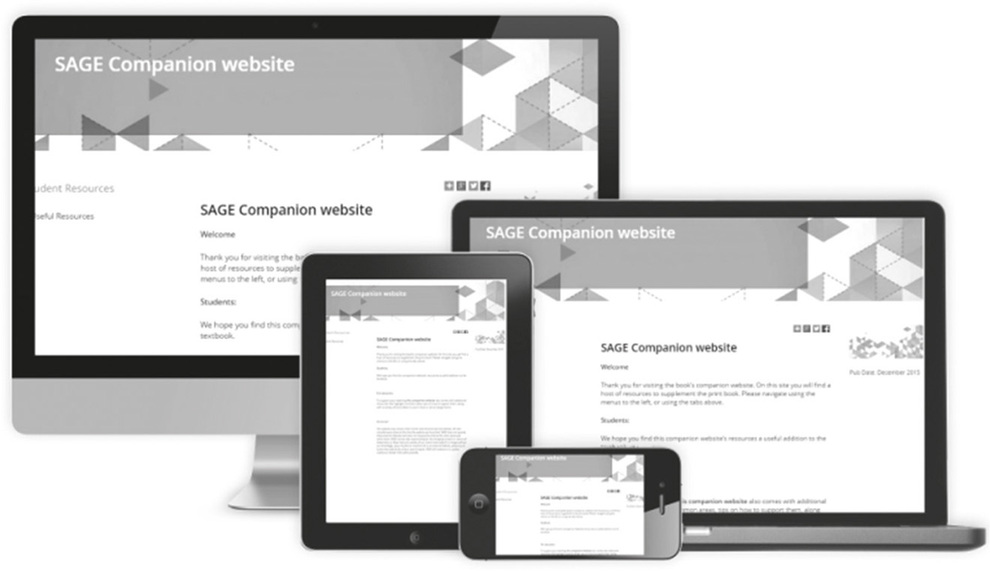
Visit the site for:
- Links to all of the websites and free software packages discussed in the book
- Downloadable versions of all datasets presented in the book
This chapter looks at:
- Maps, mobilities, and spaces of flows
- The connected age: location awareness and the internet of things
- Harnessing the geoweb
- The structure of the book
There are around 2 billion smartphones in the world, so chances are you own one of them. If so, think about the ways you might use your device during a vacation. As you plan your trip, you explore places and get driving directions using digital maps and imagery. On the road, you search out places to eat and refuel, paying attention to traffic information ahead in case you need to find an alternative route. Upon arrival, you consult a subway map to see where to go and when the next train will arrive. You take pictures and video of interesting sites and post them on Twitter and Facebook. Perhaps you decide to use the coupon that popped up on your smartphone screen when you walked by a particular shop. As you prepare to return home, you receive a notification that your flight has been slightly delayed and has changed gates. You check an airport map to find a restaurant close to the new gate, then use the extra time to look back at the map from yesterdays hike to see exactly how many miles you walked. Once you have finally landed back at home, you wearily check your smartphone to see where it was you parked your car.
What is so remarkable about the above scenario is that it does not seem all that remarkable; you probably have done most of these things without giving them much thought. We have come to expect information to appear when and where we need it, and to be able to communicate with anyone at anytime, no matter where they are something that Leisa Reichelt (2007) calls ambient intimacy. The normal barriers of space and time have seemingly been so reduced as to practically vanish. We can be on a video call, texting with a group of friends, and posting comments on social media sites (sometimes simultaneously!) without knowing or caring where all of those people happen to be.
But sometimes caring where those people are or will be is precisely the point. While the role that smartphones and social media played in social movements like the Arab Spring and Occupy is still under debate, these tools unquestionably ushered in a new way to coordinate the movement of individuals in geographic space. By having access to decentralized, immediate communication networks such as Twitter, networked groups can quickly mobilize in place and just as quickly dissipate. Flash mob protests can seemingly emerge out of nowhere, dissolve, and reappear elsewhere as networked protesters use ambient intimacy to keep track of each other as well as any potential threats.
Font size:
Interval:
Bookmark:
Similar books «Using geodata and geolocation in the social sciences: mapping our connected world»
Look at similar books to Using geodata and geolocation in the social sciences: mapping our connected world. We have selected literature similar in name and meaning in the hope of providing readers with more options to find new, interesting, not yet read works.
Discussion, reviews of the book Using geodata and geolocation in the social sciences: mapping our connected world and just readers' own opinions. Leave your comments, write what you think about the work, its meaning or the main characters. Specify what exactly you liked and what you didn't like, and why you think so.