Patricia Harris
New Y ork
Spotlight on K ids Can Cod e
GEOLOCA TI ON?
What Is
Manufactured in the United States of America
CPSIA Compliance Information: Batch #BS17PK: For Fur ther Infor mation contact Rosen Publishing , New Y or k, New Y or k at 1-800-237-9932
Published in 2018 by The Rosen Publishing Group, Inc.
29 East 21st Street, New Y ork, NY 10010
Copyright 2018 by The Rosen Publishing Group, Inc.
All rights reserv ed. No part of this book may be reproduced in any for m without permission in writing from the publisher , except by a reviewer .
First Edition
Editor: Melissa Ra Shofner
Book Design: Michael J. Flynn
Photo Credits: Cover (main) FamV eld/Shutterstock.com; cover (map) A7880S/Shutterstock.com; pp. 1, 3-24 (background) Lukas Rs/Shutterstock.com; p. 5 Andrey_Popov/Shutterstock.com; p. 7 Rafal Olechowski/Shutterstock.com; p. 9 Lithiumphoto/Shutterstock.com; p. 11 (top) HKPNC/E+/ Getty Images; p. 11 (bottom) Lasse Hendriks/Shutterstock.com; p. 13 KeongDaGreat/Shutterstock.com; p. 15 Arina P Habich/Shutterstock.com; p. 17 Dean Mitchell/E+/Getty Images; p. 19 Don Johnston/ All Canada Photos/Getty Images; p. 21 (top) ekkasit919/Shutterstock.com; p. 21 (bottom) dennizn/ Shutterstock.com.
Cataloging-in-Publication Data
Names: Harris, Patricia.
Title: What is geolocation? / Patricia Harris. Description: New Y ork : PowerKids Press, 2018. | Series: Spotlight on kids can code | Includes index. Identiers: ISBN 9781508155294 (pbk.) | ISBN 9781508155188 (library bound) | ISBN 9781508154839 (6 pack) Subjects: LCSH: Mobile geographic information systems. | Mobile communication systems. | Global Positioning System. Classication: LCC G70.212 H37 2018 | DDC 910.285--dc23
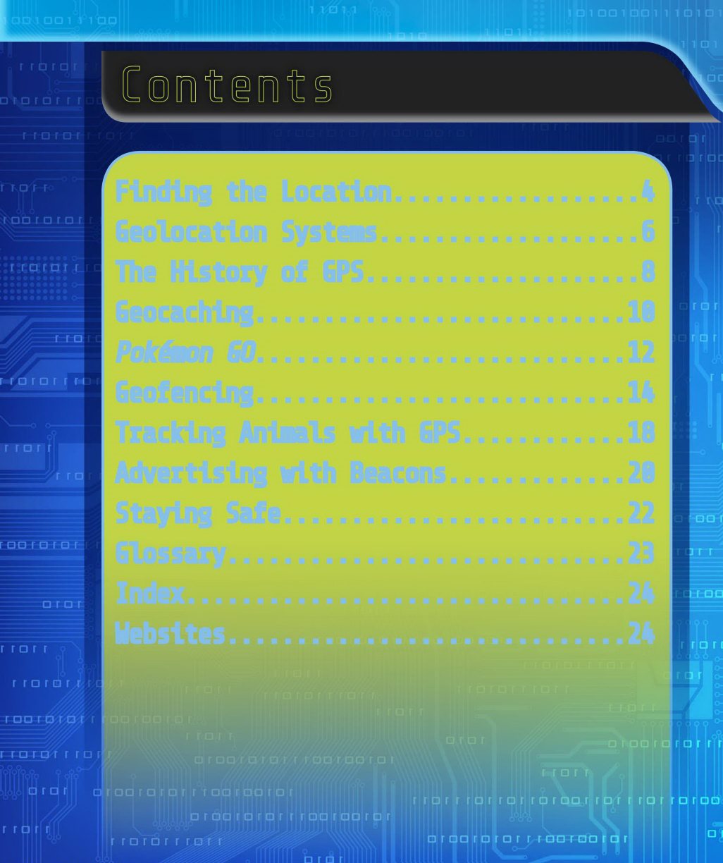
Finding the Location ..................
Geolocation Systems ...................
The History of GPS ....................
Geocaching...........................1
Pokmon GO ...........................1
Geofencing...........................1
Tracking Animals with GPS ............1
Advertising with Beacons .............2
Staying Safe .........................2
Glossary.............................2
Index................................2
Websites.............................2
Contents
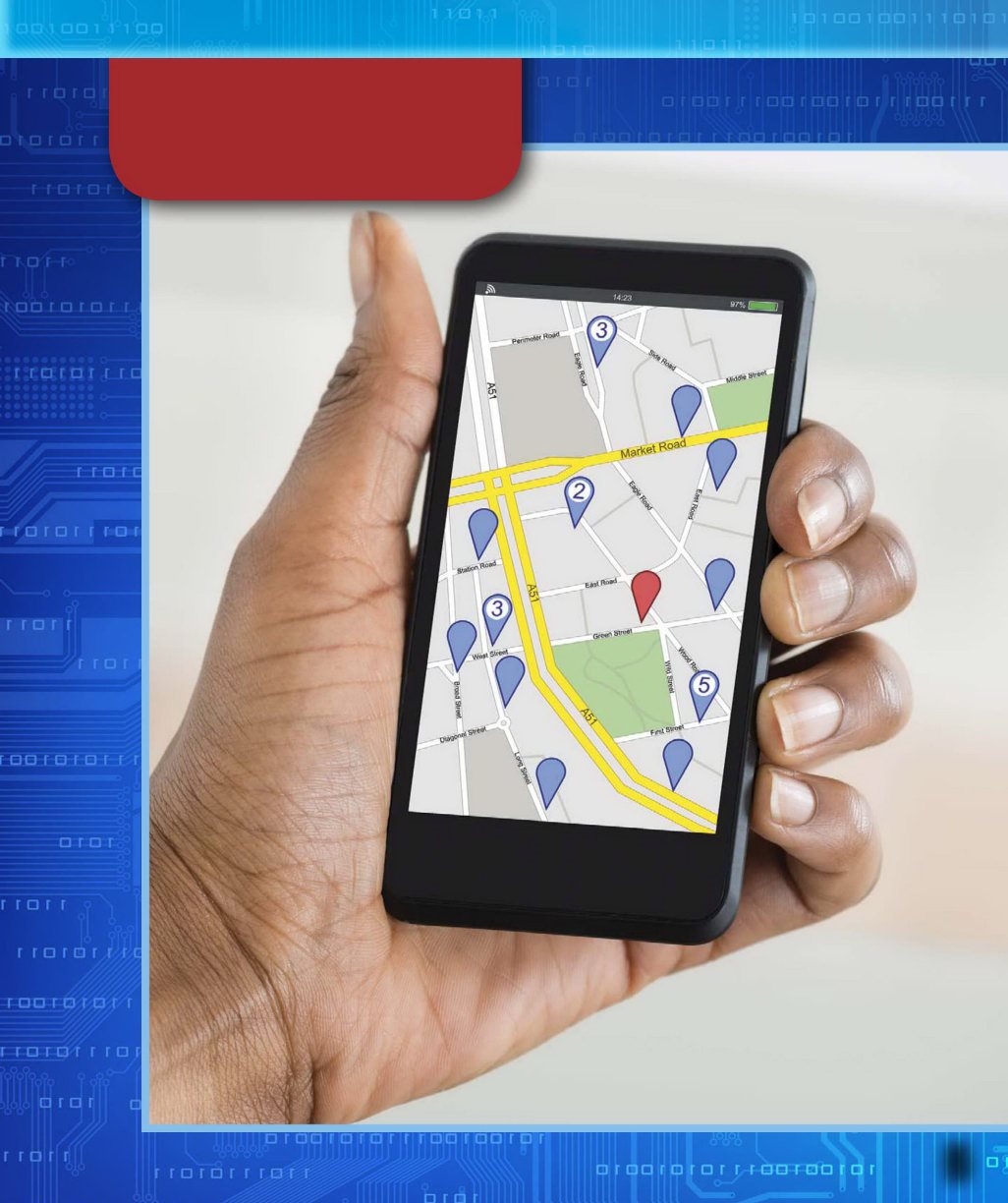
Geolocation is a process by which people can gure out the location of something, such as a computer or a mobile device, using information sent over the Internet. Geolocation may also refer to a location itself.
What does this all mean? It means you can use a map application (app) on your phone to give you directions to a new place from your current location. It means your family s car can use a service that, when activated in an emergency, will know where the car is located and send help. It means scientists can track animals to better understa nd their movements in the wild. It means your parents can know where you are when youre out with friends. It means that you and thousands of other people can play location-based games such as Pokmon GO together.
Finding the Location
Geolocation lets your computer or smartphone identify where it is. It can also let others know your location.
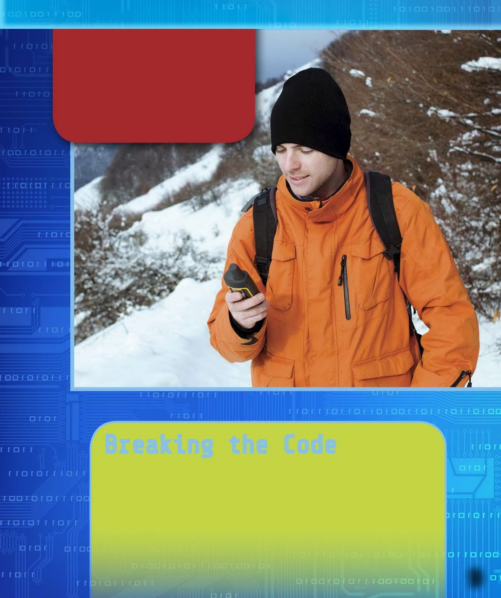
When people think of geolocation, they often think of the global positioning system, or GP S. G PS is a satellite
system that provides location data to G PS receivers. This data can be used to gure out the position and speed of vehicles and other devices with receivers. T o work, a receiver must be able to connect to at least three satellites . The system isnt affected by weather and it doesnt need Internet or phone service to work.
Some geolocation systems measure the time a cell phone signal takes to reach a cellular network tower and use this information to gure out location. They do this by looking at the distances between the signal and three towers. This is called triangulation. An Internet Protocol (IP) address may also be used to determine general location. Any device that uses the Internet has an IP address.
Geolocation S ystems
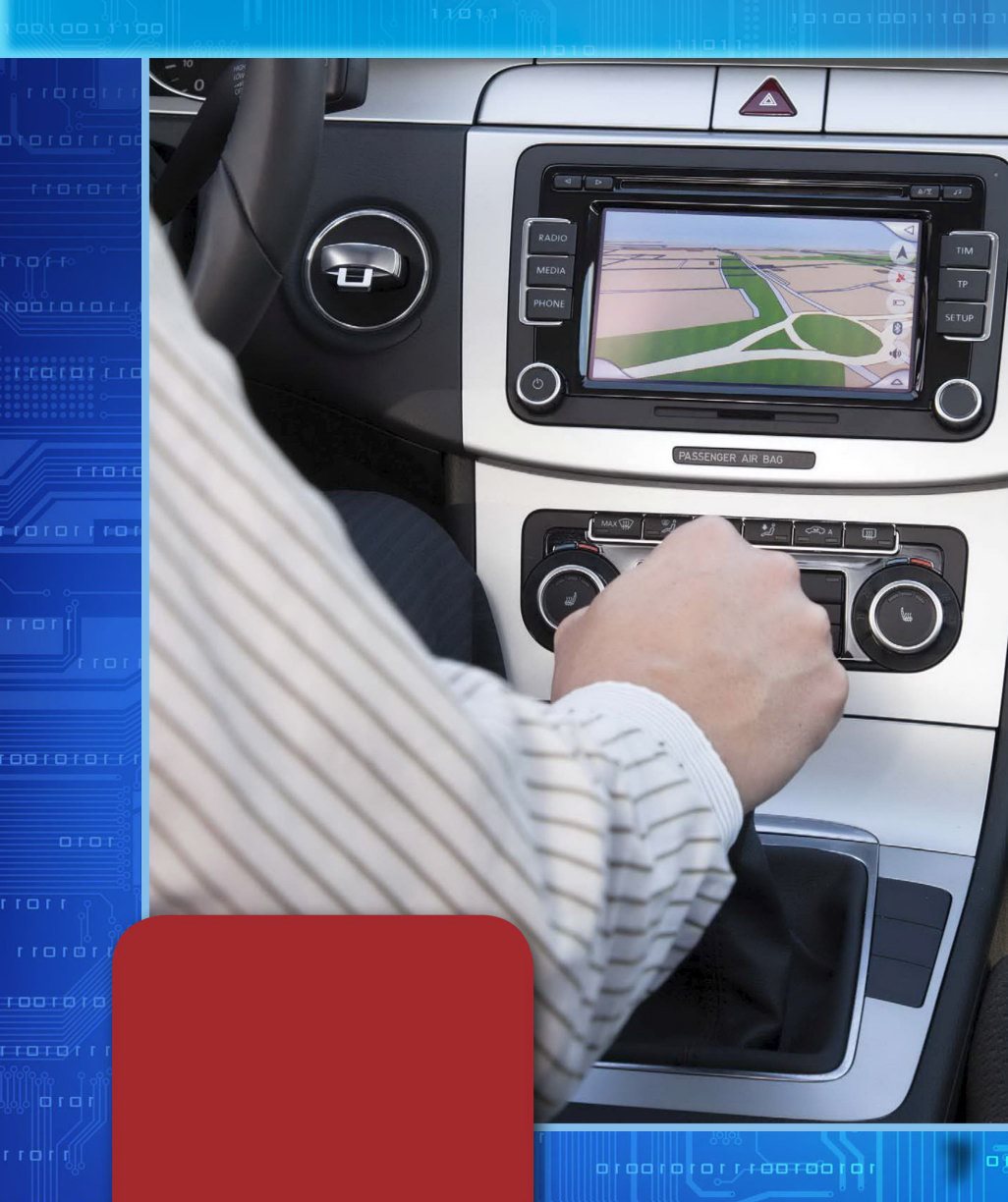
GPS was first used in cars in the 1990s. Today, people can use GPS to get directions while driving, to locate their car if its stolen, and even to lock the doors and roll up the windows when theyre not there!
GPS started as a milit ary system developed by the U.S. Department of Defense. It was created in response to the Cold Wa r . In 1983, the Soviet Union shot down an aircraft that strayed into Soviet airspace. This prompted President Ronald Reagan to grant access to GP S for commercial aircraft. A selective access policy gave the public a lower level of access than members of the military. In 2000, President Bill Clinton gave the same level of G PS access to everyone.
G P S may seem confusing, but it s actually quite simple. The system has three main segments, or parts. T he control segment is made up of stations on Earth that send data to and receive it from s atellites. Th e satellites make up the space segment. They orbit Earth and send signals to the stations and devices. Th e individual users and their GPS- enabled devices make up the user segment.
The History of GPS
Without interference, your smartphones GPS may be able to tell your location within about 16 feet (4.9 m). The most powerful military GPS units are much more exact.
Smartphones may use what is call ed assisted G PS. When a smartphone is within a c ellular network a rea, assi sted GPS may be abl e to use cell towe r triangulation to boo st the GPS inform ation being sent f rom satellites . Thi s allo ws us ers to acce ss GPS data fa ster whil e using l es s battery lif e an d processi ng pow er .
Breaking the Code
Geocaching, rst described in early 2000, is a game that uses GP S coordinates to lead players to hidden containers in the real world. In geocaching, these containers are called caches. Cac hes may be large buckets, tiny bo xes, or anything in between. T hey often contain a notebook for signing in when you nd the cache and small items for trading. Players nd coordinates for a cache from a website or app, then use a GP S device to nd the location.

