Brent Jones - Valuing Place and Purpose: GIS for Land Administration
Here you can read online Brent Jones - Valuing Place and Purpose: GIS for Land Administration full text of the book (entire story) in english for free. Download pdf and epub, get meaning, cover and reviews about this ebook. year: 2022, publisher: Esri Press, genre: Politics. Description of the work, (preface) as well as reviews are available. Best literature library LitArk.com created for fans of good reading and offers a wide selection of genres:
Romance novel
Science fiction
Adventure
Detective
Science
History
Home and family
Prose
Art
Politics
Computer
Non-fiction
Religion
Business
Children
Humor
Choose a favorite category and find really read worthwhile books. Enjoy immersion in the world of imagination, feel the emotions of the characters or learn something new for yourself, make an fascinating discovery.

- Book:Valuing Place and Purpose: GIS for Land Administration
- Author:
- Publisher:Esri Press
- Genre:
- Year:2022
- Rating:5 / 5
- Favourites:Add to favourites
- Your mark:
Valuing Place and Purpose: GIS for Land Administration: summary, description and annotation
We offer to read an annotation, description, summary or preface (depends on what the author of the book "Valuing Place and Purpose: GIS for Land Administration" wrote himself). If you haven't found the necessary information about the book — write in the comments, we will try to find it.
Modern land administration applies geospatial thinking to better understand and plan the proper use, conservation, and equitable use of land and property.
Location intelligence is changing the way land administration works to protect and maintain appropriate land use and achieve better economic, environmental, and social benefits. The real-life stories in Valuing Place and Purpose: GIS for Land Administration show how communities, government agencies, nonprofits, and other organizations implement geographic information systems (GIS) in four key areas:
Visualizing parcels and property
Managing land use
Strengthening climate and conservation efforts
Addressing land rights, equity, and social justice
The book also includes a special section to help readers get started using web apps, online maps, dashboards, and other GIS solutions to represent and understand the value of land and property and efficiently manage, edit, and share land parcel data more accurately.
Brent Jones: author's other books
Who wrote Valuing Place and Purpose: GIS for Land Administration? Find out the surname, the name of the author of the book and a list of all author's works by series.


Valuing Place and Purpose: GIS for Land Administration — read online for free the complete book (whole text) full work
Below is the text of the book, divided by pages. System saving the place of the last page read, allows you to conveniently read the book "Valuing Place and Purpose: GIS for Land Administration" online for free, without having to search again every time where you left off. Put a bookmark, and you can go to the page where you finished reading at any time.
Font size:
Interval:
Bookmark:
Transcription:
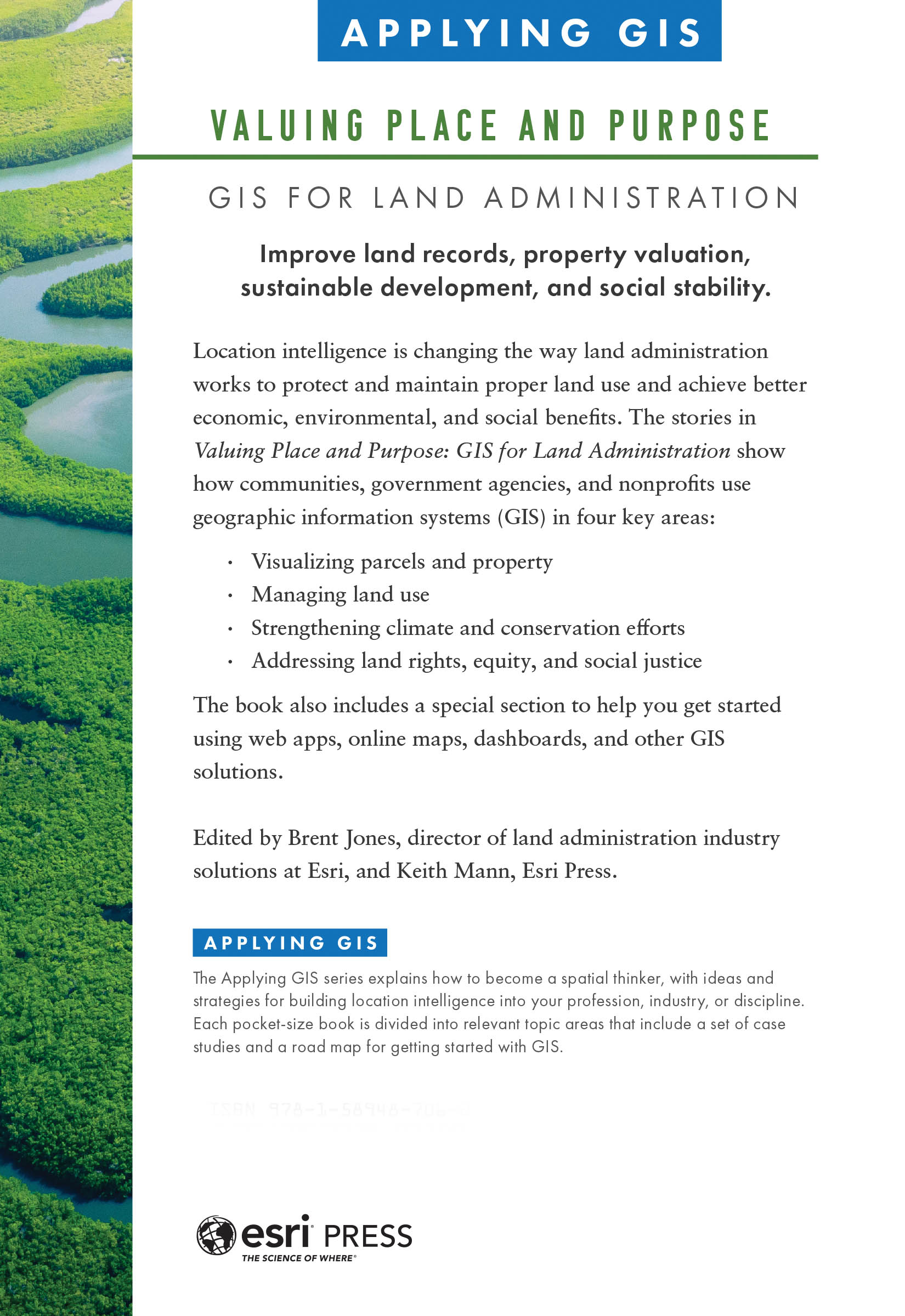
Valuing Place and Purpose: GIS for Land Administration (Applying GIS series)
Improve land records, property valuation, sustainable development, and social stability.
Location intelligence is changing the way land administration works to protect and maintain proper land use and achieve better economic, environmental, and social benefits. The stories in Valuing Place and Purpose: GIS for Land Administration show how communities, government agencies, and nonprofits use geographic information systems (GIS) in four key areas:
- Visualizing parcels and property
- Managing land use
- Strengthening climate and conservation efforts
- Addressing land rights, equity, and social justice
The book also includes a special section to help you get started using web apps, online maps, dashboards, and other GIS solutions.
Edited by Brent Jones, director of land administration industry solutions at Esri, and Keith Mann, Esri Press.
Applying GIS
The Applying GIS series explains how to become a spatial thinker, with ideas and strategies for building location intelligence into your profession, industry, or discipline. Each pocket-size book is divided into relevant topic areas that include a set of case studies and a road map for getting started with GIS.
 Esri Press, 380 New York Street, Redlands, California 92373-8100
Copyright 2022 Esri
All rights reserved.e-ISBN: 9781589487079The Library of Congress has cataloged the print edition as follows: 2021951779The information contained in this document is the exclusive property of Esri or its licensors. This work is protected under United States copyright law and other international copyright treaties and conventions. No part of this work may be reproduced or transmitted in any form or by any means, electronic or mechanical, including photocopying and recording, or by any information storage or retrieval system, except as expressly permitted in writing by Esri. All requests should be sent to Attention: Director, Contracts and Legal Department, Esri, 380 New York Street, Redlands, California 92373-8100, USA. The information contained in this document is subject to change without notice. US Government Restricted/Limited Rights: Any software, documentation, and/or data delivered hereunder is subject to the terms of the License Agreement. The commercial license rights in the License Agreement strictly govern Licensees use, reproduction, or disclosure of the software, data, and documentation. In no event shall the US Government acquire greater than RESTRICTED/LIMITED RIGHTS. At a minimum, use, duplication, or disclosure by the US Government is subject to restrictions as set forth in FAR 52.227-14 Alternates I, II, and III (DEC 2007); FAR 52.227-19(b) (DEC 2007) and/or FAR 12.211/12.212 (Commercial Technical Data/Computer Software); and DFARS 252.227-7015 (DEC 2011) (Technical Data Commercial Items) and/or DFARS 227.7202 (Commercial Computer Software and Commercial Computer Software Documentation), as applicable. Contractor/Manufacturer is Esri, 380 New York Street, Redlands, California 92373-8100, USA.Esri products or services referenced in this publication are trademarks, service marks, or registered marks of Esri in the United States, the European Community, or certain other jurisdictions. To learn more about Esri marks, go to: links.esri.com/EsriProductNamingGuide. Other companies and products or services mentioned herein may be trademarks, service marks, or registered marks of their respective mark owners.For purchasing and distribution options (both domestic and international), please visit esripress.esri.com.On the cover: Photograph by Curioso Photography.179310
Land is an essential resource that supports nearly every aspect of a nations social fabric and economic well-being. The finite supply of land must be governed to support sustainable economic growth, social equity, and access to services, and to prevent conflict. Good land governance controls and manages the effective use of physical space through a combination of policies, processes, and institutions. It includes determining, recording, and disseminating information about the tenure, value, and use of land.
As countries increasingly engage in the global economy, rapid economic, technological, and social transformations also increase the demand for modern land administration systems that support the collection, management, and dissemination of complete, reliable, and authoritative land administration data. Overcoming the lack of available, standardized, high-quality, and usable land data is a significant challenge for a successful economy.
A standards-based land administration solution, grounded in a legal and institutional framework, is critical to document and manage municipal, provincial, state, national, and private-sector land-based resources. It also must support the standard functions of a modern government, such as providing e-government services, property valuation and taxation, access to utilities, and urban and regional planning activities.
Geographic information system (GIS) technology is an essential part of successful land administration and cadastral agencies. GIS provides a comprehensive platform and strategy that allows land administration organizations to modernize and meet new challenges, such as creating efficient, well-managed workflows and rigorous systems to manage data integrity and security. GIS also delivers contemporary information products and services to stakeholders, taxpayers, and citizens. GIS supports open standards, cloud computing, and extensive worldwide data and high-resolution imagery, providing the essential infrastructure backbone for successful land administration systems.
This book is organized in four parts plus a final section that suggests what readers can do next in using GIS for land administration:
Part 1 introduces GIS-driven land parcel and property management and the concepts of a digital parcel fabric, which provides a single, authoritative source for land information within a multiuser environment. Real-life stories, or case studies, show how different agencies use GIS to aggregate and standardize parcel data and handle unusual land requirements through visual inspections and edits. These agencies also use GIS for researching changes to a parcel, tracking its history across multiple edits, and sharing parcel maps and applications with other departments, agencies, and the public.
GIS mapping and analysis provide vital documentation about land information, including land records, tenure, value, and use. These capabilities allow agencies to visualize and share the relationships between land and people. The stories in part 2 show how land management agencies use GIS to create an authoritative geospatial framework for maintaining data integrity, ensuring proper and legally defensible survey records, and tracking land and parcel history. GIS is used to analyze land data to uncover and visualize patterns in land use and its relationship with other issues, such as vulnerable ecosystems, development plans, and natural features of Earths surface.
Part 3 shows how organizations use geospatial tools to anticipate and respond to the impacts of climate change on their communities and operations. With GIS, land and property managers can expose climate risk and the path to sustainable prosperity by providing a transparent, science-based approach. GIS mapping and spatial analysis are critical tools for predicting environmental impacts, planning remediation and conservation, and gaining political and public support for projects related to climate change and conservation.
Font size:
Interval:
Bookmark:
Similar books «Valuing Place and Purpose: GIS for Land Administration»
Look at similar books to Valuing Place and Purpose: GIS for Land Administration. We have selected literature similar in name and meaning in the hope of providing readers with more options to find new, interesting, not yet read works.
Discussion, reviews of the book Valuing Place and Purpose: GIS for Land Administration and just readers' own opinions. Leave your comments, write what you think about the work, its meaning or the main characters. Specify what exactly you liked and what you didn't like, and why you think so.