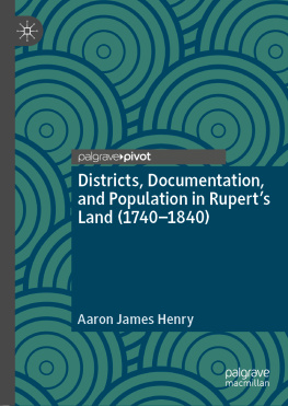
Aaron James Henry - Districts, Documentation, and Population in Rupert’s Land (1740–1840)
Here you can read online Aaron James Henry - Districts, Documentation, and Population in Rupert’s Land (1740–1840) full text of the book (entire story) in english for free. Download pdf and epub, get meaning, cover and reviews about this ebook. year: 2020, publisher: Springer International Publishing, genre: Religion. Description of the work, (preface) as well as reviews are available. Best literature library LitArk.com created for fans of good reading and offers a wide selection of genres:
Romance novel
Science fiction
Adventure
Detective
Science
History
Home and family
Prose
Art
Politics
Computer
Non-fiction
Religion
Business
Children
Humor
Choose a favorite category and find really read worthwhile books. Enjoy immersion in the world of imagination, feel the emotions of the characters or learn something new for yourself, make an fascinating discovery.
- Book:Districts, Documentation, and Population in Rupert’s Land (1740–1840)
- Author:
- Publisher:Springer International Publishing
- Genre:
- Year:2020
- Rating:5 / 5
- Favourites:Add to favourites
- Your mark:
- 100
- 1
- 2
- 3
- 4
- 5
Districts, Documentation, and Population in Rupert’s Land (1740–1840): summary, description and annotation
We offer to read an annotation, description, summary or preface (depends on what the author of the book "Districts, Documentation, and Population in Rupert’s Land (1740–1840)" wrote himself). If you haven't found the necessary information about the book — write in the comments, we will try to find it.
Districts, Documentation, and Population in Rupert’s Land (1740–1840) — read online for free the complete book (whole text) full work
Below is the text of the book, divided by pages. System saving the place of the last page read, allows you to conveniently read the book "Districts, Documentation, and Population in Rupert’s Land (1740–1840)" online for free, without having to search again every time where you left off. Put a bookmark, and you can go to the page where you finished reading at any time.
Font size:
Interval:
Bookmark:
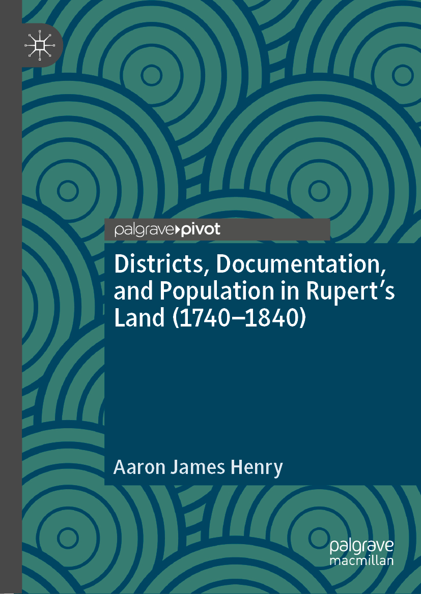

Cover illustration: John Rawsterne/patternhead.com
This Palgrave Pivot imprint is published by the registered company Springer Nature Switzerland AG
The registered company address is: Gewerbestrasse 11, 6330 Cham, Switzerland
This introductory chapter situates the rise of district-inspection in broader practices of colonial administration in Canada and the commonwealth. The chapter narrows in on three theses advanced in the manuscript. In particular, it argues that the emergence of the district as form of spatial documentation was crucial in reforming social vision between the eighteenth century and nineteenth century. In particular, the rise of district-inspection allowed population to emerge in HBC records as an object of administration. It also suggests outlines how the study will situate the district as development central to the formation of Canadas political geography and operation as a colonial state.
In 1900, the Indian Agent for the Williams Lake Agency submitted an annual report to the Superintendent General of Indian Affairs. The report intended to provide knowledge of the indigenous population and included a census and inspections of health, economic productivity, its morality, and the conditions under which the population lived. In particular, details were offered on the sanitary conditions, the available resources, and the state of the buildings. The report, despite being a rather uninspiring read, is an important artefact in Canadas history of centralizing rule over indigenous populations.
However, what makes it the starting point for this study is that all of these details are framed around the spatial designation of the district. The knowledge of indigenous populations , where they live, where they hunt, and their resources, is studied, recorded, and encoded within the designation of districts. This is not unique to Canada. A researcher conversant with the records of the colonial office will quickly note that its archives are awash with reports on districts plucked from the various corners of the British colonial empire. District reports can be found on Colonial India, colonial projects in Africa, New Spain, and the East Indian Company.
Though it extends outside the scope of this study, the district makes a sustained appearance at the close of the eighteenth century in Jeremy Benthams initial plan for the New Poor Law System in England. In his 1787 writings, Bentham proposed dividing England and Wales into 200 districts, each a perfect square of 225 miles. Doing this would district to optimize the management of the poor laws and put everything at all times under the eye of persons of all ranks on whom management depends. The salience of the district to organizing early nineteenth-century relations of rule is easily overlooked as our experience today with district as a form of spatial designation and administration is shot through by many banal iterations: school districts, electoral districts, shopping districts, etc.
I claim in this book through that the historical emergence of the district was central to a new ordering of colonial knowledge of rule. In particular, the district supported a new form of knowledge, a knowledge of human life as a population that could be delimited, controlled, classified, and managed in relation to a delimited milieu . As I will demonstrate, the forms of information that populated the Indian Agents report on Williams Lake district did not originate with the Department of Indian Affairs. Rather, we can trace the knowledge and form of inspection that underpins early twentieth-century colonial reports in Canada to the nineteenth-century district reports produced by the Hudsons Bay Company (HBC).
As such, the central focus of this book is the lineage of the HBC district report in structuring forms of knowledge and regimes of surveillance that became central to the companys knowledge and control over indigenous people in British North America. In developing this lineage, I pursue three theses.
The first thesis is that the emergence of the district as social field of inspection radically reshaped how colonial knowledge captured and represented human beings. As I demonstrate in Chapter , up until the close of the eighteenth-century human life remained captured in a register that focused on typologies and generalized attributes furnished by the Linnaean system of classification. This system of classification was produced from a conduct to observe grounded in physico-theology that encouraged the practice of observing people and nature to gather meticulous details and reveal God in nature. Throughout the eighteenth century, this conduct to observe produced a form of knowledge that sought to understand human life in set typologies. These typologies put limits on the historical appearance of population as an object of rule. I suggest these epistemological limits can be found in Thomas Malthus text on population.
Far from displacing this conduct to observe , the rise of the district allowed the eighteenth-century categories of observation to be refined into standardized modes of inspection. It is these modes of inspection, organized at the level of the district, allowed registers to emerge that captured indigenous people as both individualized subjects and as populations . Tracing the emergence of the district and biopolitical knowledge back to a religious conduct to observe forces us to confront the role religion should play in our readings of biopolitics and governmentality . I argue that the district emerged as part of this conduct to observe but also served to mould an excess of details into knowledge of people, land, and things as a milieu . This milieu became a key way to target humans as economic subjects and rule them through biopolitical forces.
Font size:
Interval:
Bookmark:
Similar books «Districts, Documentation, and Population in Rupert’s Land (1740–1840)»
Look at similar books to Districts, Documentation, and Population in Rupert’s Land (1740–1840). We have selected literature similar in name and meaning in the hope of providing readers with more options to find new, interesting, not yet read works.
Discussion, reviews of the book Districts, Documentation, and Population in Rupert’s Land (1740–1840) and just readers' own opinions. Leave your comments, write what you think about the work, its meaning or the main characters. Specify what exactly you liked and what you didn't like, and why you think so.

