One
DOWNTOWN
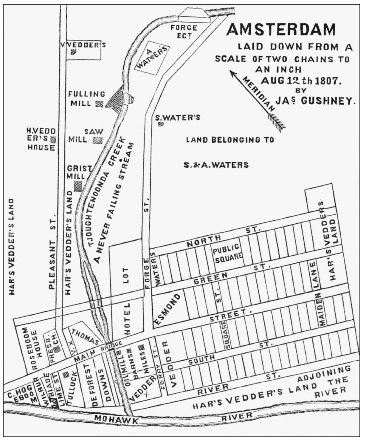
This is the earliest-known map of Amsterdam. It was created shortly after the name was changed from Veddersburg and shows the beginning of the village along the banks of the North Chuctanunda Creek where it joins the Mohawk River. (Courtesy of Montgomery County Department of History and Archives.)
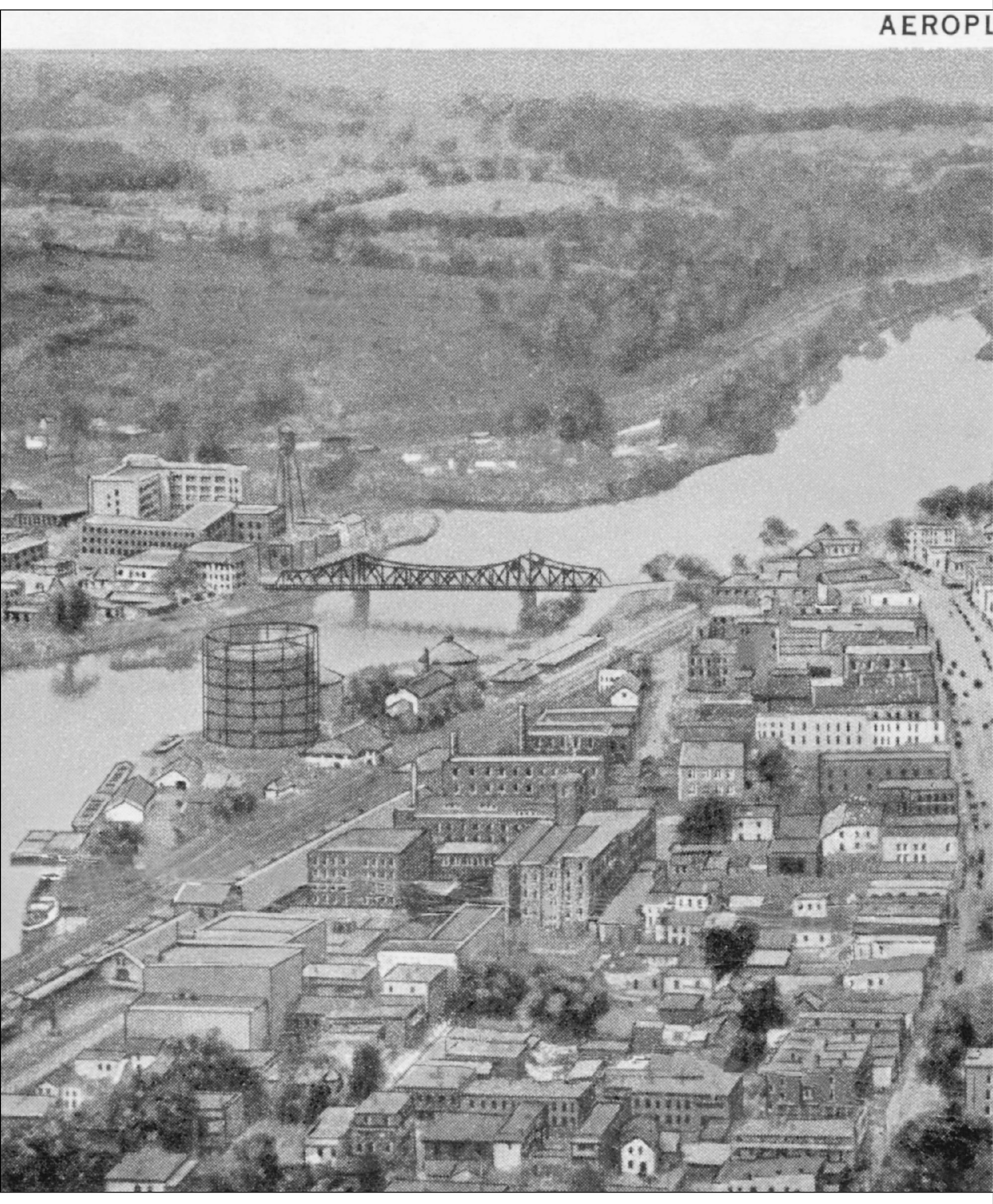
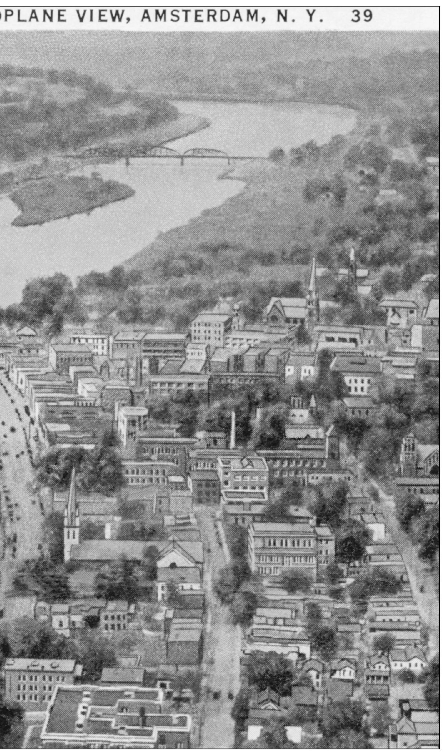
The focal point of this view is the 1916 bridge over the Mohawk River. To the south of the bridge is the Chalmers Mill (19131916), and to the east on the north bank is the gas works. The dense, urban fabric depicted in this photograph was ripped apart by urban renewal and arterial construction in the late 1960s and early 1970s. Over 400 buildings (approximately 100 from the 19th century) in the center of this picture were destroyed and replaced with modern structures and roadways, completely altering the nature of the city.
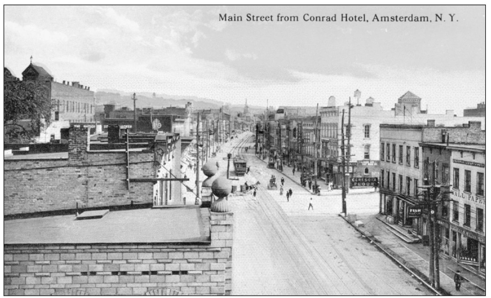
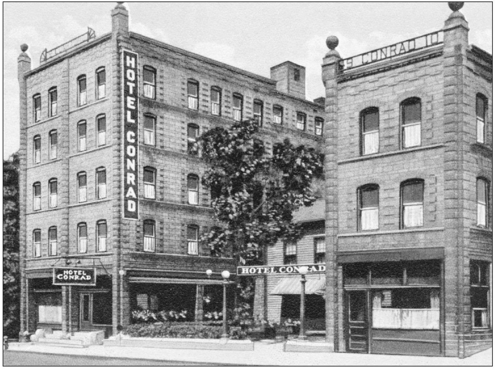
Above, the Hotel Conrad (as it was more commonly called) sat on the western edge of the traditional downtown area. Below, the hotel was built in 1910 on either side of the Old Voorhees Homestead, which had been the Roseboom Tavern, Amsterdams first stagecoach stop in 1790. Later the building housed Wil-Ton Bowling. The buildings were torn down to make room for arterial construction.
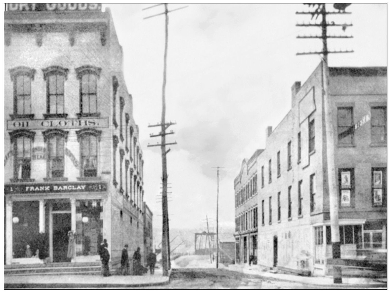
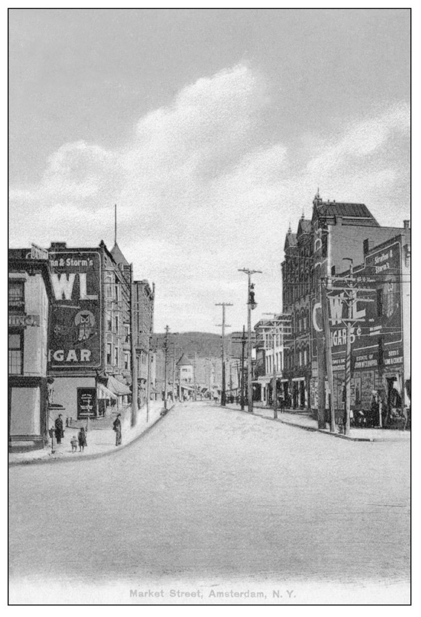
Here are north and south views from the heart of downtown at the intersection of Bridge, Main, and Market Streets. The above view looks to the south across the railroad tracks and onto the bridge over the Mohawk River. The view at right looks north up Market Street towards Market Hill and the high ground that runs parallel to the river.
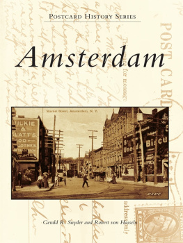
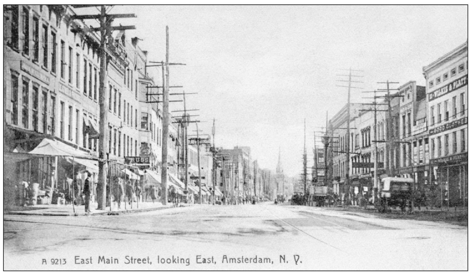
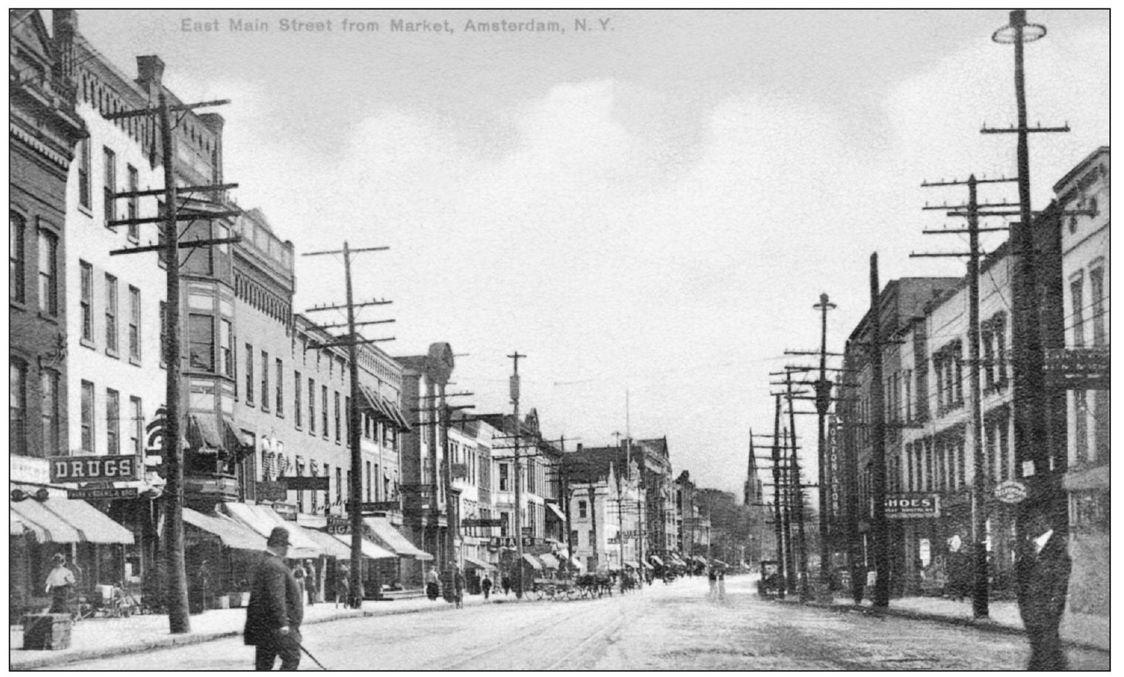
Looking east from Market Street, the spire of St. Marys Roman Catholic Church is visible in the center background. At far right is a portion of the Willkie and Platt clothing store. Utility poles line both sides of the street. The electrification of downtown began in December 1887. Slightly over a year later, the great blizzard of 1888 demonstrated that overhead wiring was not a permanent solution in Upstate New York.
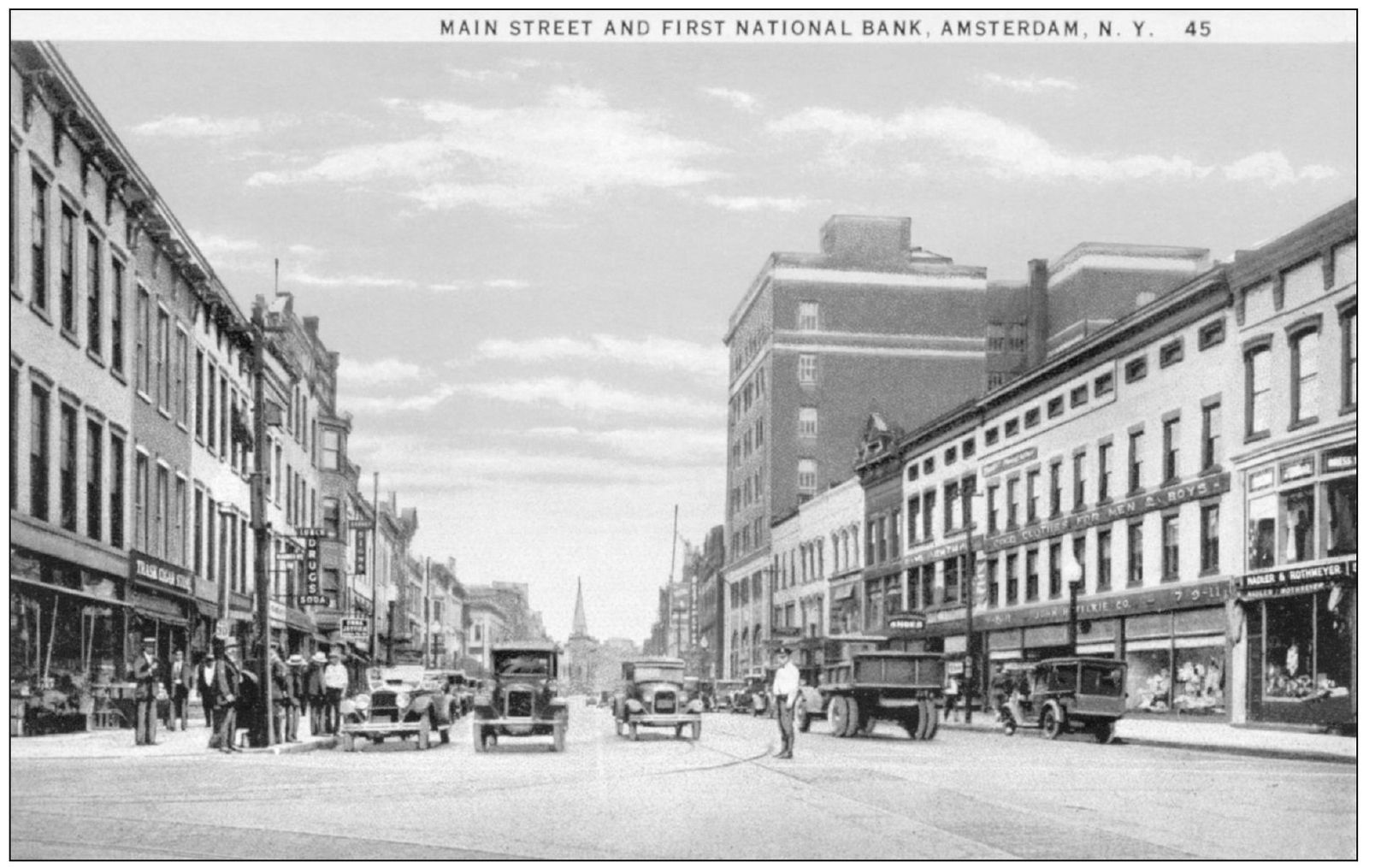
This photograph was taken from same location as above several decades later. The clothing goods store has expanded its facade and the utility poles are gone. At right center, the bank building, Amsterdams modern high-rise office structure, now straddles the Chuctanunda Creek where the Morris Hall building was destroyed by a spectacular fire on January 16, 1927. Constructed in 1929, it still dominates the few blocks of this portion of Main Street that escaped urban renewal.
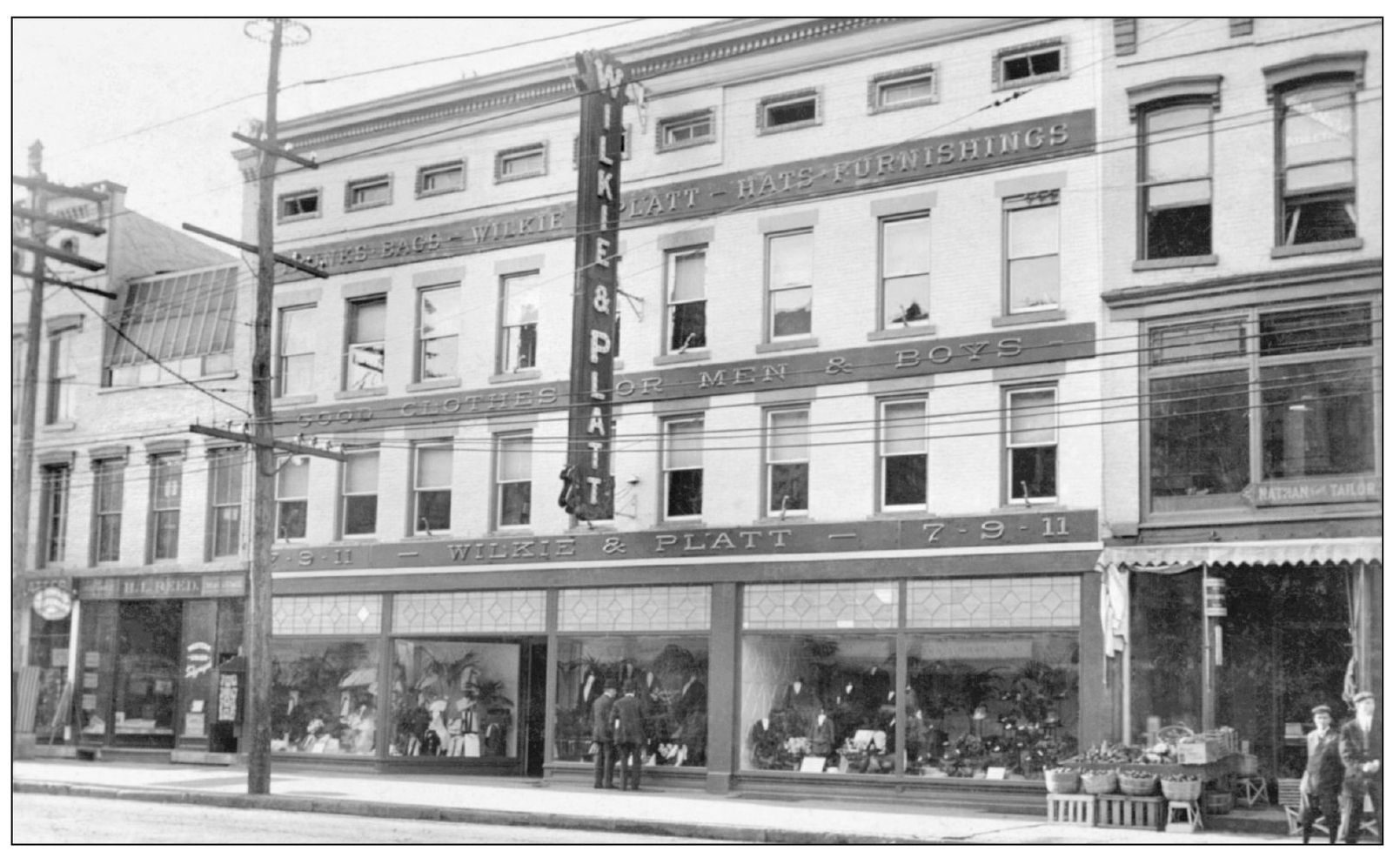
The Willkie and Platt department store at 711 East Main Street is shown before the expansion of its storefront. Illustrations of this block from 1897 show it as Quiri and Willkie, the original firm name. The three- or four-story block building became the downtown norm, arising first in the oldest part of town and replacing earlier one- or two-story commercial buildings and commercialized residences.
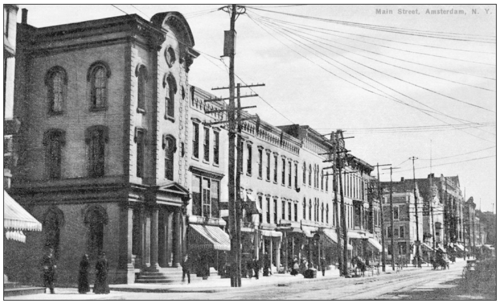
This view, taken farther to the east, shows a number of buildings that managed to escape urban renewal and are now a section of modern East Main Street. Halfway down the left-hand side of the street is the old First National Bank building, a reference for later images. The circular devices at the top of the utility poles spread wires to individual buildings; the wires may have been removed from the photograph when the cards original image was colorized (see page 16).
Originally the Globe Hotel, this building, located on the northeast corner of Main and Chuctanunda Streets, was a stage house on the old Mohawk Turnpike. In 1839, it became the Amsterdam Female Seminary, which provided dormitory rooming for female students and a coeducational program by day. After the school moved to new quarters and expanded its charter, the old building was torn down in the 1860s.
The First National Bank was organized in 1860, federally chartered in 1865, and occupied the former site of the Globe Hotel. The bank used the lower stories, and the upper stories served various purposes, including housing the YMCA at one time. All of the buildings on the second (lower right) block were destroyed to create the new Route 30 arterial and the Amsterdam Mall. Many of the buildings of the closest block (including the bank building) still exist.

