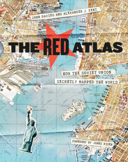
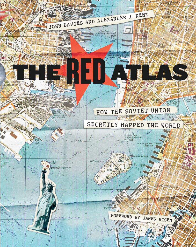
John Davies - The Red Atlas: How the Soviet Union Secretly Mapped the World
Here you can read online John Davies - The Red Atlas: How the Soviet Union Secretly Mapped the World full text of the book (entire story) in english for free. Download pdf and epub, get meaning, cover and reviews about this ebook. year: 2017, publisher: The University of Chicago Press, genre: Romance novel. Description of the work, (preface) as well as reviews are available. Best literature library LitArk.com created for fans of good reading and offers a wide selection of genres:
Romance novel
Science fiction
Adventure
Detective
Science
History
Home and family
Prose
Art
Politics
Computer
Non-fiction
Religion
Business
Children
Humor
Choose a favorite category and find really read worthwhile books. Enjoy immersion in the world of imagination, feel the emotions of the characters or learn something new for yourself, make an fascinating discovery.

- Book:The Red Atlas: How the Soviet Union Secretly Mapped the World
- Author:
- Publisher:The University of Chicago Press
- Genre:
- Year:2017
- Rating:3 / 5
- Favourites:Add to favourites
- Your mark:
The Red Atlas: How the Soviet Union Secretly Mapped the World: summary, description and annotation
We offer to read an annotation, description, summary or preface (depends on what the author of the book "The Red Atlas: How the Soviet Union Secretly Mapped the World" wrote himself). If you haven't found the necessary information about the book — write in the comments, we will try to find it.
Nearly thirty years after the end of the Cold War, its legacy and the accompanying Russian-American tension continues to loom large. Russias access to detailed information on the United States and its allies may not seem so shocking in this day of data clouds and leaks, but long before we had satellite imagery of any neighborhood at a fingers reach, the amount the Soviet government knew about your familys city, street, and even your home would astonish you. Revealing how this was possible, The Red Atlas is the never-before-told story of the most comprehensive mapping endeavor in history and the surprising maps that resulted.
From 1950 to 1990, the Soviet Army conducted a global topographic mapping program, creating large-scale maps for much of the world that included a diversity of detail that would have supported a full range of military planning. For big cities like New York, DC, and London to towns like Pontiac, MI and Galveston, TX, the Soviets gathered enough information to create street-level maps. What they chose to include on these maps can seem obvious like locations of factories and ports, or more surprising, such as building heights, road widths, and bridge capacities. Some of the detail suggests early satellite technology, while other specifics, like detailed depictions of depths and channels around rivers and harbors, could only have been gained by actual Soviet feet on the ground. The Red Atlas includes over 350 extracts from these incredible Cold War maps, exploring their provenance and cartographic techniques as well as what they can tell us about their makers and the Soviet initiatives that were going on all around us.
A fantastic historical document of an era that sometimes seems less distant, The Red Atlas offers an uncanny view of the world through the eyes of Soviet strategists and spies.
John Davies: author's other books
Who wrote The Red Atlas: How the Soviet Union Secretly Mapped the World? Find out the surname, the name of the author of the book and a list of all author's works by series.


The Red Atlas: How the Soviet Union Secretly Mapped the World — read online for free the complete book (whole text) full work
Below is the text of the book, divided by pages. System saving the place of the last page read, allows you to conveniently read the book "The Red Atlas: How the Soviet Union Secretly Mapped the World" online for free, without having to search again every time where you left off. Put a bookmark, and you can go to the page where you finished reading at any time.
Font size:
Interval:
Bookmark:
John Davies
Alexander J. Kent
Foreword by James Risen
The University of Chicago Press * Chicago and London
The University of Chicago Press, Chicago 60637
The University of Chicago Press, Ltd., London
2017 by The University of Chicago
Foreword 2017 by James Risen
All rights reserved. No part of this book may be used or reproduced in any manner whatsoever without written permission, except in the case of brief quotations in critical articles and reviews. For more information, contact the University of Chicago Press, 1427 E. 60th St., Chicago, IL 60637.
Published 2017
Printed in Canada
26 25 24 23 22 21 20 19 18 17 1 2 3 4 5
ISBN-13: 978-0-226-38957-8 (cloth)
ISBN-13: 978-0-226-38960-8 (e-book)
DOI: 10.7208/chicago/9780226389608.001.0001
Library of Congress Control number: 2017007292
 This paper meets the requirements of ANSI/NISO Z39.48-1992 (Permanence of Paper).
Dedicated to the thousands of men and women who
Dedicated to the thousands of men and women who
created the treasure trove of maps described in this book
and
to our next generation,
Abigail, Edward, and Sophia,
in the hope that they inherit a more harmonious world
Why this book is a detective story
The background of the storyfrom Napolons march on Moscow to the collapse of the Soviet Union
Describing the style, content, and symbology of the Red Armys maps of the world
The overt and covert methods of the Soviet cartographers
The discovery of the maps after the fall of the Soviet Union and their continuing significance today
By James Risen
Nearly three decades after the fall of the Berlin Wall, Cold War secrets are still tumbling out.
Some of them are beautiful.
An enormous and secret infrastructure supported the intelligence battles that were waged between the East and West throughout the forty-year Cold War standoff. The United States and the Soviet Union and their allies spied on each other incessantly, because they wanted to be prepared just in case an unthinkable war ever broke out.
Spying involves waiting, watching, remembering, and recording. It involves sophisticated cameras and high-altitude aircraft and missiles with satellitesbut also people on the ground, quietly walking down streets, looking.
Sometimes, the products of all that spying during the Cold War were intelligence reports, which told Washington or London or Moscow what the other side was doing. Intelligence reports might provide inside information that could be used to decide broad strategywhen to move armies and navies.
Sometimes, the products were maps. Highly detailed maps, useful for spies and policy makers, for diplomats, invading armies, and occupiers. Maps that could provide more specific tactical information than might come from intelligence reports. Maps that could tell a general which roads and bridges provided the best routes to use to drive his tanks, or an admiral which harbors were deep enough for his destroyers.
When the Cold War ended, the secret infrastructure built up by the superpowers was left behind. Today much of it has been rediscovered and repurposed; missile silos in the American Midwest, for example, are being turned into eclectic prairie homes.
Now, with the publication of The Red Atlas, we discover another aspect of that long-secret infrastructureSoviet military maps, including maps of Moscows great adversaries, the United States and Britain.
Once classified, the maps displayed here give an eerie reminder of an obvious, yet still unsettling fact, at least for American and British readers. They show that the Russians were watching America and Britain, just as much as the Americans and British were watching them. They were looking down from above, and looking from the street. The Russians didnt miss much.
Americans have long taken for granted the fact that the United States had spy planes and spy satellites flying over the Soviet Union. But these maps remind us that the Soviets had spy satellites flying over the United States too, staring through the clouds at America as it changed and grew throughout the Cold War. In fact, Russian mapmakers worked hard to keep up with the transforming landscapes of the United States and Great Britainthe construction of interstate highways and shopping centers and new suburbs and new military bases posed endless challenges for the Russians. Yet the maps show that they were sometimes faster to incorporate new landmarks than were their Western counterparts.
Whats more, the Russian maps sometimes included sensitive information about secret locations in the United States and Britain that had been excluded from public Western maps.
But the Russian maps include details that could not have come from satellites alone. They incorporate the names of factories and what was made in those factories. The kind of products manufactured inside a factory cant be divined from overhead imagery, so did the purpose of the factories become clear only when a Soviet agent walked down the street? Or did the Russians have other information? Were there moles in the U.S. and British governments passing them data? The questions remain unanswered.
These Soviet maps, which were produced as part of the worlds largest mapping effort, present an alternative view of the globe. They tell us what the Russians saw when they looked at us. What the Russian mapmakers considered important enough to detail in their maps reveals to us what the Russians thought was most important in the United States and Britain.
These maps were the product of an ambitious effort by Moscow to accurately and secretly map the Soviet Union, its Eastern European allies, its Western adversariesand the rest of the world. Conducted by the Military Topographic Directorate of the General Staff of the Soviet Army, the worldwide mapping effort may have produced more than a million different maps of different parts of the globe.
The Russian maps were also of extraordinarily high quality. Soviet-era military maps were so good that when the United States first invaded Afghanistan in late 2001, American pilots relied on old Russian maps of Afghanistan. For almost a month after the United States began a bombing campaign to help oust the Taliban government, American pilots were guided by Russian maps dating back to the Soviet occupation of Afghanistan in the 1980s. The U.S. intelligence community had been too slow in figuring out how to process and distribute up-to-date satellite photographs of Afghanistan.
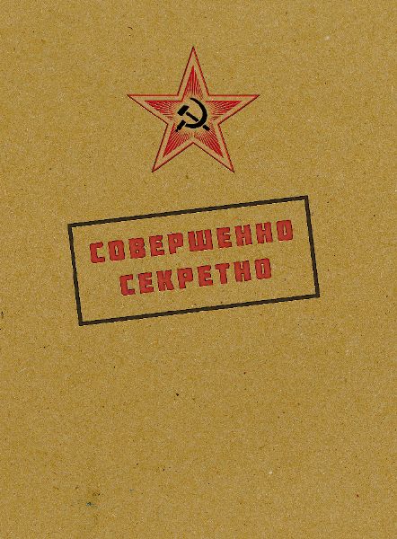
These Russian military maps are detailed and honest, even in their careful depictions of the Soviet Union itself. Thats ironic, since Russian-made maps of the Soviet Union that were made available to the public during the Cold War were purposefully terrible and misleading. A product of Stalinist paranoia of foreign invaders, the maps of the Soviet Union made for the public and tourists included flaws and mistakes designed to hide information or deflect travelers.
But the Russian military maps are also something elselong-lost works of art. The craftsmanship and the sheer beauty of the maps make them mesmerizing. The use of colors, lines, and geometric shapes lends them an art deco feel.
Font size:
Interval:
Bookmark:
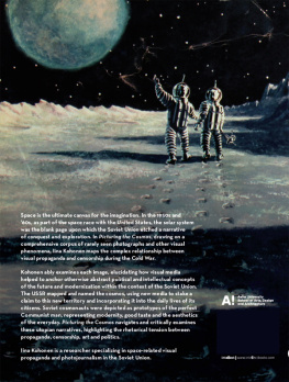
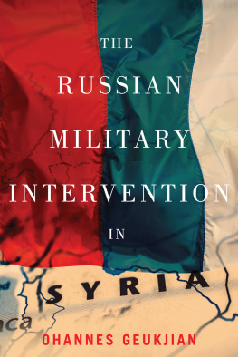
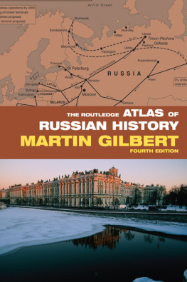
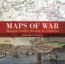
Similar books «The Red Atlas: How the Soviet Union Secretly Mapped the World»
Look at similar books to The Red Atlas: How the Soviet Union Secretly Mapped the World. We have selected literature similar in name and meaning in the hope of providing readers with more options to find new, interesting, not yet read works.
Discussion, reviews of the book The Red Atlas: How the Soviet Union Secretly Mapped the World and just readers' own opinions. Leave your comments, write what you think about the work, its meaning or the main characters. Specify what exactly you liked and what you didn't like, and why you think so.