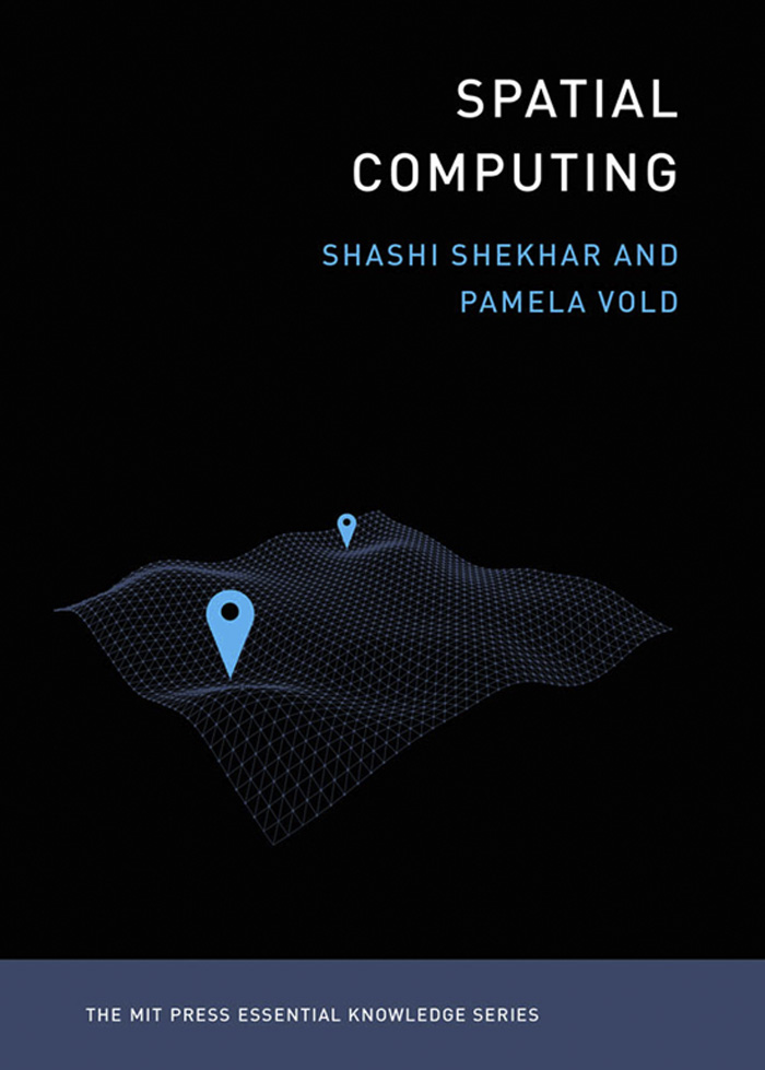
Shashi Shekhar - Spatial Computing
Here you can read online Shashi Shekhar - Spatial Computing full text of the book (entire story) in english for free. Download pdf and epub, get meaning, cover and reviews about this ebook. year: 2020, publisher: MIT Press, genre: Science. Description of the work, (preface) as well as reviews are available. Best literature library LitArk.com created for fans of good reading and offers a wide selection of genres:
Romance novel
Science fiction
Adventure
Detective
Science
History
Home and family
Prose
Art
Politics
Computer
Non-fiction
Religion
Business
Children
Humor
Choose a favorite category and find really read worthwhile books. Enjoy immersion in the world of imagination, feel the emotions of the characters or learn something new for yourself, make an fascinating discovery.

- Book:Spatial Computing
- Author:
- Publisher:MIT Press
- Genre:
- Year:2020
- Rating:4 / 5
- Favourites:Add to favourites
- Your mark:
Spatial Computing: summary, description and annotation
We offer to read an annotation, description, summary or preface (depends on what the author of the book "Spatial Computing" wrote himself). If you haven't found the necessary information about the book — write in the comments, we will try to find it.
Shashi Shekhar: author's other books
Who wrote Spatial Computing? Find out the surname, the name of the author of the book and a list of all author's works by series.

Spatial Computing — read online for free the complete book (whole text) full work
Below is the text of the book, divided by pages. System saving the place of the last page read, allows you to conveniently read the book "Spatial Computing" online for free, without having to search again every time where you left off. Put a bookmark, and you can go to the page where you finished reading at any time.
Font size:
Interval:
Bookmark:
The MIT Press Essential Knowledge Series
A complete list of the titles in this series appears at the back of this book.
Shashi Shekhar and Pamela Vold
The MIT Press | Cambridge, Massachusetts | London, England
2019 Massachusetts Institute of Technology
All rights reserved. No part of this book may be reproduced in any form by any electronic or mechanical means (including photocopying, recording, or information storage and retrieval) without permission in writing from the publisher.
This book was set in Chaparral Pro by Toppan Best-set Premedia Limited.
Library of Congress Cataloging-in-Publication Data
Names: Shekhar, Shashi, 1963- author. | Vold, Pamela, author.
Title: Spatial computing / Shashi Shekhar and Pamela Vold.
Description: Cambridge, MA : The MIT Press, [2019] | Series: The MIT Press essential knowledge series | Includes bibliographical references and index.
Identifiers: LCCN 2019013947 | ISBN 9780262538046 (pbk. : alk. paper)
Subjects: LCSH: Geographic information systems.
Classification: LCC G70.212 .S538 2019 | DDC 910.285dc23 LC record available at https://lccn.loc.gov/2019013947
10 9 8 7 6 5 4 3 2 1
To Ibha, Will, Henry, Hirsh, and Hugo
The MIT Press Essential Knowledge series offers accessible, concise, beautifully produced pocket-size books on topics of current interest. Written by leading thinkers, the books in this series deliver expert overviews of subjects that range from the cultural and the historical to the scientific and the technical.
In todays era of instant information gratification, we have ready access to opinions, rationalizations, and superficial descriptions. Much harder to come by is the foundational knowledge that informs a principled understanding of the world. Essential Knowledge books fill that need. Synthesizing specialized subject matter for nonspecialists and engaging critical topics through fundamentals, each of these compact volumes offers readers a point of access to complex ideas.
Bruce Tidor
Professor of Biological Engineering and Computer Science
Massachusetts Institute of Technology
How could a technology used by billions of people around the world not have an accessible guide to describe it to a broad audience? This was the unique position we were in as we set out to write this book about spatial computing. While there are books about some of the individual concepts included within this field, such as GPS, as of this printing, texts for nonscientists or specialists are missing. This book is our attempt to address the gap between individuals curious about science and computer science professionals.
In this book, we have set out to briefly describe the recent spatial computing revolution, how it has improved our lives, and where it is headed. This book introduces five spatial computing capabilities: positioning (GPS); remote sensing; geographic information systems (GIS); spatial database and management systems; and spatial data science. Using maps, historic and current use cases, and success stories, we demonstrate what these technologies are and how they are used. Navigation apps, ride-sharing apps for smartphones, and precision agriculture each use many spatial computing technologies.
It is important to acknowledge the growing ethical debate around spatial computing applications, the greatest one surrounding privacy. We attempt to recognize the debate without taking a side. Recent court decisions have invalidated gerrymandered electoral district maps, and our society is actively debating the privacy of our location traces and the risks of social feedback loops related to crime hotspot identification and analysis. We anticipate that in the coming years, we will see new regulations and social norms emerge from this ongoing debate.
It is our ultimate hope that this book conveys the excitement of spatial computing, not only due to its tremendous impact on our daily lives but also its potential to keep transforming the ways we live, work, communicate, and perform research. Because this book is not intended to provide an exhaustive coverage of the growing body of knowledge in spatial computing, we have provided a list of resources including textbooks, monographs, encyclopedias, and journals for a deeper and broader exploration of spatial computing.
First and foremost, we owe gratitude to our families as this book would not have been completed without their support and encouragement. Most importantly, they encouraged and helped us recover after many busy days and weeks developing this book. Further, Ibha and Hirsh helped review and choose spatial computing success stories by acting as our audience. Special thanks to Will Crain who brought his copyediting expertise to refine and substantially improve an earlier draft, and Henry and Hugo for their curiosity about the project.
In this book, we incorporate information sources from different points of view such as government (e.g., Congressional Research Service, the National Academies), civil society (e.g., the New York Times, the British Broadcasting Corporation), businesses (e.g., the McKinsey Global Institute, the Economist), and academia (e.g., the Association for Computing Machinery, the University Consortium for Geographic Information Science, the Institute on Navigation, the International Society for Photogrammetry and Remote Sensing). These helped us triangulate the spatial computing accomplishments and trends across diverse interest groups.
The Computing Research Association and the Computing Community Consortium were especially helpful. The multisector workshop From GPS and Virtual Globes to Spatial Computing identified several major accomplishments in spatial computing and indicated future directions for the work, and also encouraged us to speak at the US congressional reception on Deconstructing Precision Agriculture (March 2015) and at the annual meeting of the American Association for the Advancement of Sciences (February 2018). These experiences helped us understand the need to share the key computing accomplishments and opportunities with wider audiences such as policy makers, professionals, and other curious minds.
Thank you to the current and former members of the spatial computing research group in the department of Computer Science and Engineering at the University of Minnesota for a variety of contributions including literature surveys, research, and general assistance. Special thanks go to Yan Li, who helped create many illustrations for the book. We would also like to thank students enrolled in Shashis courses From GPS and Virtual Globes to Spatial Computing (Csci 5715) and Spatial Data Science Research (Csci 8715), as they helped review and refine examples, pictures, and stories used in this book.
As we have learned a lot about spatial computing via research, we would like to acknowledge and thank those sponsors for making the work possible, including the United Nations Development Programme, the National Science Foundation, the National Geospatial-Intelligence Agency, the National Institute for Food and Agriculture, the Advanced Research Projects AgencyEnergy, the National Institute for Health, the National Aeronautical and Space Agency, the Army Geospatial Center, the Oak Ridge National Laboratory, the Ford Motor Company University Research Program, Microsoft Bing, the Minnesota Department of Transportation, and many spatial research centers at the University of Minnesota, such as the Minnesota Population Center, the Center for Transportation Studies, and the Institute on the Environment).
Next pageFont size:
Interval:
Bookmark:
Similar books «Spatial Computing»
Look at similar books to Spatial Computing. We have selected literature similar in name and meaning in the hope of providing readers with more options to find new, interesting, not yet read works.
Discussion, reviews of the book Spatial Computing and just readers' own opinions. Leave your comments, write what you think about the work, its meaning or the main characters. Specify what exactly you liked and what you didn't like, and why you think so.