Editors
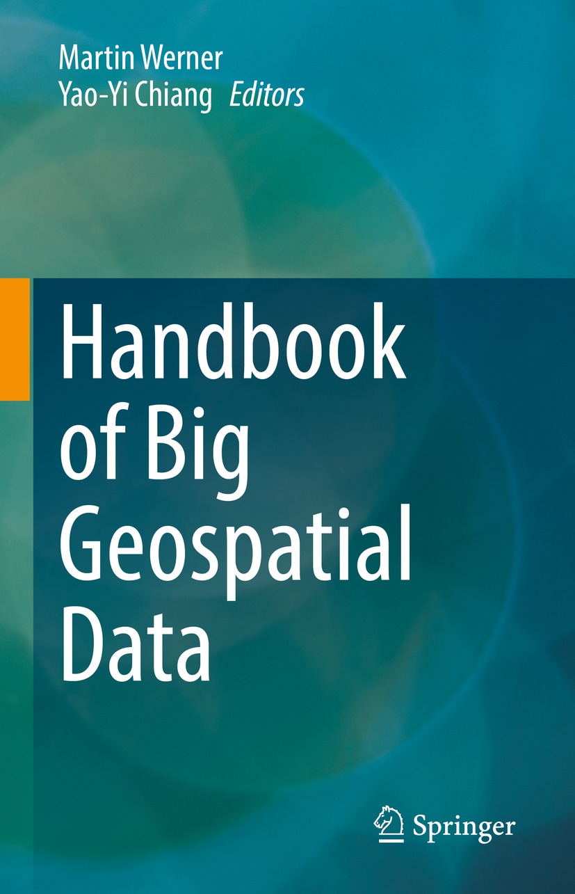
Martin Werner
Professorship Big Geospatial Data Management, Technical University of Munich (TUM), Munich, Germany
Yao-Yi Chiang
Spatial Sciences Institute, University of Southern California, Los Angeles, CA, USA
ISBN 978-3-030-55461-3 e-ISBN 978-3-030-55462-0
https://doi.org/10.1007/978-3-030-55462-0
Springer Nature Switzerland AG 2021
This work is subject to copyright. All rights are reserved by the Publisher, whether the whole or part of the material is concerned, specifically the rights of translation, reprinting, reuse of illustrations, recitation, broadcasting, reproduction on microfilms or in any other physical way, and transmission or information storage and retrieval, electronic adaptation, computer software, or by similar or dissimilar methodology now known or hereafter developed.
The use of general descriptive names, registered names, trademarks, service marks, etc. in this publication does not imply, even in the absence of a specific statement, that such names are exempt from the relevant protective laws and regulations and therefore free for general use.
The publisher, the authors and the editors are safe to assume that the advice and information in this book are believed to be true and accurate at the date of publication. Neither the publisher nor the authors or the editors give a warranty, expressed or implied, with respect to the material contained herein or for any errors or omissions that may have been made. The publisher remains neutral with regard to jurisdictional claims in published maps and institutional affiliations.
This Springer imprint is published by the registered company Springer Nature Switzerland AG
The registered company address is: Gewerbestrasse 11, 6330 Cham, Switzerland
Preface
Spatial data form the backbone of many science and engineering investigations and applications. For example, spatial data are fundamental to construction and engineering, social sciences and life sciences, art and visualization, and many more fields. In spatial data, the geometry component captures the concept of shape, presence, movement, and similarity about things in space. In this book, we focus on a particular type of spatial data: data that are suitable to understand various aspects of the physical surroundings, either in a local environment or for the entire Earth. Such data are known as geospatial data, as they are geometric data linked to things in the physical world. Specifically, we focus on big geospatial data, a subdomain within spatial data, which considers the computing technologies for handling large datasets of geometry representing things on Earth (hence geo).
Due to the advent of mobile computing and GPS (global positioning system) technologies, the location of mobile devices, including smartphones, cars, and assets such as ships, containers, and more, can be determined without a high cost. The implication of these mobile location data is potent. Still, it requires careful considerations and technologies to understand and exploit the positive potential and mitigate the risks of the negative potential of such data. On the one hand, such information can be used to optimize logistics, increase the efficiency of transportation systems in cities, and enhance personalized experiences for individual users. On the other hand, ubiquitous location information can produce undesired applications, including deanonymizing individuals, tracking user behavior unwillingly, and micro-targeting commercials with fake news, for example, micro-targeting fake news that trick people into spending money they would not have spent or (much worse) deceive people to vote for certain politicians and political parties.
In addition to mobile location data, public and private satellites and in situ measurements are continuously generating geospatial databases of unprecedented sizes and accuracy. High-quality satellite missions with global coverage at limited resolutions, like Landsat and Copernicus, provide us a global view of our planet with pretty short update times (a few days) between individual acquisitions. High-resolution satellites can provide centimeter-level geospatial observations with typically either cheaper sensors building some constellation or less frequent visits of the same place on Earth. Airborne machines (plane, helicopter, drone) and street-level measurement campaigns (streetview, urban mapping) provide targeted, highly precise data describing selected aspects of the physical and natural environment. Typically, the amount of collected/sensed data is so large, and we do not yet understand the impact of the existence of these collections at all. For example, what is the best use case for such data? Can we solve some of our most pressing challenges, like feeding the world, fighting climate change, and fighting poverty, using increased precision and detailed views of the Earth? Or are we going to experience malicious use of these data first, such as predictive policing affected by biases present in such observations limiting civil rights?
Yet another domain generating huge amounts of big geospatial data that have provenly affected our democratic elections at least once (though there is a debate about how much actually) is the domain of social media. Social media datasets with location information represent the connection of where people are (accessible from their smartphones) with what they want to communicate (content) and to whom (their social network). This domain generates impressive amounts of data and enables positive and negative use cases.
The previous paragraphs have shown that our societies are currently facing a significant challenge: we are collecting huge amounts of location data and do not yet understand the impact. We hope that the positive use of these data will outweigh the risks, but we cannot be sure. Therefore, research on the technologies for making use of spatial data is crucial, especially in the context of big data where the sheer amount of data allows for advanced processing, including machine learning and data mining. However, spatial data are highly heterogeneous, and, therefore, many interdisciplinary islands do exist, each of which is having their ideals, languages, problems, and cultures. The various fundamental theories of spatial computing come from both computer science and spatial science, which presents a challenge for working with spatial data as there are not many truly interdisciplinary collections of knowledge that can serve as a starting point. Very often, these fundamental theories can be hidden from the applications, since they are not at all easy to access or understand for the users who approach spatial computing from an applied setting. Also, there are many domains in which spatial data are generated and processed for specific applications. This leads to the fact that significant developments in spatial computing are being published in separate domains, not directly accessible or transferrable to other domains. As a result, the same techniques often are developed multiple times.
In the context of the ACM SIGSPATIAL GIS conference in 2017, we concluded that a collection of a diverse set of articles from the various subfields of our community with strong ties to spatial computing would be beneficial for many research communities that use spatial data. This collection will provide a forum in which our research topics can be discussed and made accessible across boundaries. In this setting, we have asked our colleagues to provide book chapters in which various topics of spatial computing are explained in a didactic setting while still allowing for presenting new research results. The selected chapters are organized into several sections to provide an overview of big geospatial data. Each chapter represents a unique contribution from expert researchers within their own traditionally isolated disciplines and provides a medium for them to write from their view of the topic. These disciplines include mathematics, computational geometry, machine learning, statistics, remote sensing, smart cities, indoor navigation, politics, big data, and social media analytics, to name a few. We hope that the book will further facilitate interdisciplinary dialogue so that all disciplines working with big geospatial data can understand each other a bit better.

