• Complain

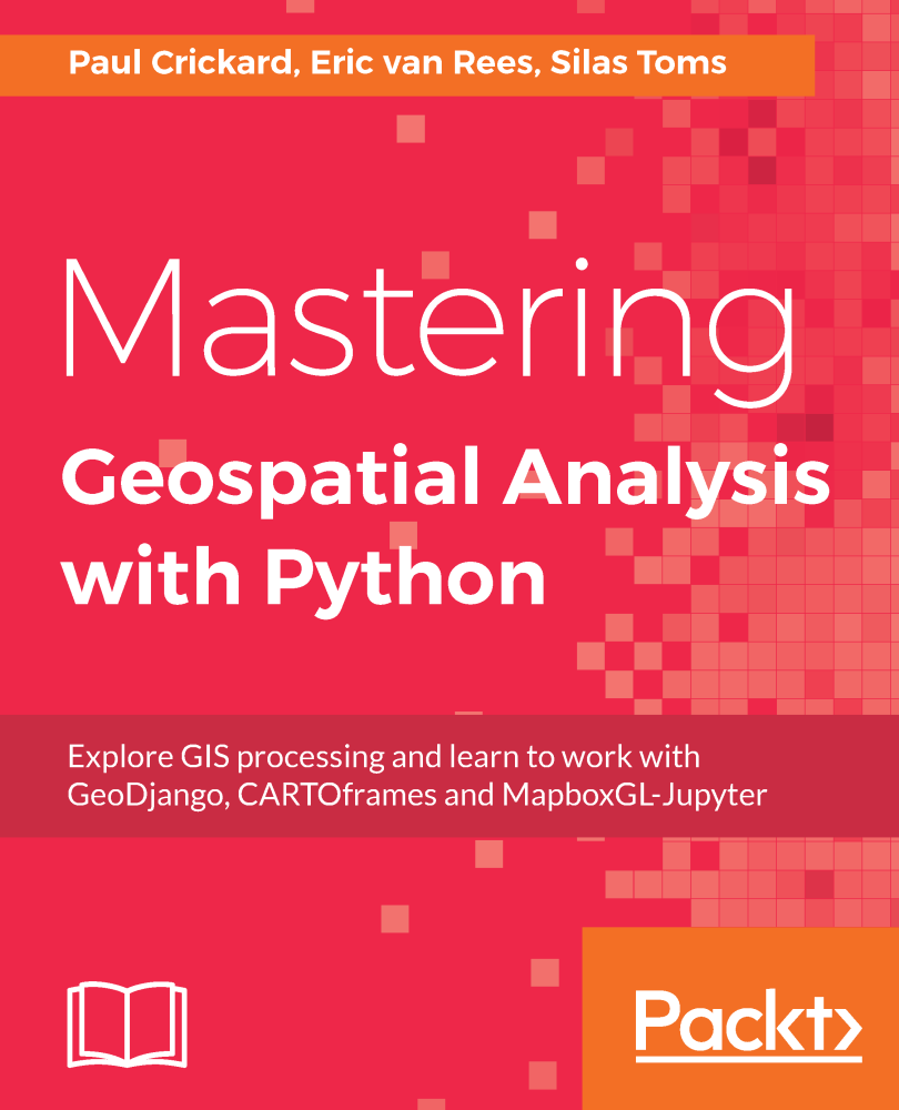
Toms Silas - Mastering Geospatial Analysis with Python: Explore GIS processing and learn to work with GeoDjango, CARTOframes and MapboxGL-Jupyter

Here you can read online Toms Silas - Mastering Geospatial Analysis with Python: Explore GIS processing and learn to work with GeoDjango, CARTOframes and MapboxGL-Jupyter full text of the book (entire story) in english for free. Download pdf and epub, get meaning, cover and reviews about this ebook. City: Birmingham, year: 2018, publisher: Packt Publishing, genre: Home and family. Description of the work, (preface) as well as reviews are available. Best literature library LitArk.com created for fans of good reading and offers a wide selection of genres:

Romance novel Science fiction Adventure Detective Science History Home and family Prose Art Politics Computer Non-fiction Religion Business Children Humor

Choose a favorite category and find really read worthwhile books. Enjoy immersion in the world of imagination, feel the emotions of the characters or learn something new for yourself, make an fascinating discovery.

No cover
  • Book:
    Mastering Geospatial Analysis with Python: Explore GIS processing and learn to work with GeoDjango, CARTOframes and MapboxGL-Jupyter
  • Author:
  • Publisher:
    Packt Publishing
  • Genre:
  • Year:
    2018
  • City:
    Birmingham
  • Rating:
    4 / 5
  • Favourites:
    Add to favourites
  • Your mark:
    • 80
    • 1
    • 2
    • 3
    • 4
    • 5

Mastering Geospatial Analysis with Python: Explore GIS processing and learn to work with GeoDjango, CARTOframes and MapboxGL-Jupyter: summary, description and annotation

We offer to read an annotation, description, summary or preface (depends on what the author of the book "Mastering Geospatial Analysis with Python: Explore GIS processing and learn to work with GeoDjango, CARTOframes and MapboxGL-Jupyter" wrote himself). If you haven't found the necessary information about the book — write in the comments, we will try to find it.

Explore GIS processing and learn to work with various tools and libraries in Python.

About This Book
  • Analyze and process geospatial data using Python libraries such as; Anaconda, GeoPandas
  • Leverage new ArcGIS API to process geospatial data for the cloud.
  • Explore various Python geospatial web and machine learning frameworks.
Who This Book Is For

The audience for this book includes students, developers, and geospatial professionals who need a reference book that covers GIS data management, analysis, and automation techniques with code libraries built in Python 3.

What You Will Learn
  • Manage code libraries and abstract geospatial analysis techniques using Python 3.
  • Explore popular code libraries that perform specific tasks for geospatial analysis.
  • Utilize code libraries for data conversion, data management, web maps, and REST API creation.
  • Learn techniques related to processing geospatial data in the cloud.
  • Leverage features of Python 3 with geospatial databases such as PostGIS, SQL Server, and SpatiaLite.
In Detail

Python comes with a host of open source libraries and tools that help you work on professional geoprocessing tasks without investing in expensive tools. This book will introduce Python developers, both new and experienced, to a variety of new code libraries that have been developed to perform geospatial analysis, statistical analysis, and data management. This book will use examples and code snippets that will help explain how Python 3 differs from Python 2, and how these new code libraries can be used to solve age-old problems in geospatial analysis.

You will begin by understanding what geoprocessing is and explore the tools and libraries that Python 3 offers. You will then learn to use Python code libraries to read and write geospatial data. You will then learn to perform geospatial queries within databases and learn PyQGIS to automate analysis within the QGIS mapping suite. Moving forward, you will explore the newly released ArcGIS API for Python and ArcGIS Online to perform geospatial analysis and create ArcGIS Online web maps. Further, you will deep dive into Python Geospatial web frameworks and learn to create a geospatial REST API.

Style and approach

The book takes a practical, example-driven approach to teach you GIS analysis and automation techniques with Python 3.

Downloading the example code for this book You can download the example code files for all Packt books you have purchased from your account at http://www.PacktPub.com. If you purchased this book elsewhere, you can visit http://www.PacktPub.com/support and register to have the files e-mailed directly to you.

Toms Silas: author's other books


Who wrote Mastering Geospatial Analysis with Python: Explore GIS processing and learn to work with GeoDjango, CARTOframes and MapboxGL-Jupyter? Find out the surname, the name of the author of the book and a list of all author's works by series.

Mastering Geospatial Analysis with Python: Explore GIS processing and learn to work with GeoDjango, CARTOframes and MapboxGL-Jupyter — read online for free the complete book (whole text) full work

Below is the text of the book, divided by pages. System saving the place of the last page read, allows you to conveniently read the book "Mastering Geospatial Analysis with Python: Explore GIS processing and learn to work with GeoDjango, CARTOframes and MapboxGL-Jupyter" online for free, without having to search again every time where you left off. Put a bookmark, and you can go to the page where you finished reading at any time.

Light

Font size:

Reset

Interval:

Bookmark:

Make
Mastering Geospatial Analysis with Python Explore GIS processing and learn - photo 1
Mastering Geospatial Analysis with Python
Explore GIS processing and learn to work with GeoDjango, CARTOframes and MapboxGL-Jupyter
Paul Crickard
Eric van Rees
Silas Toms

BIRMINGHAM - MUMBAI Mastering Geospatial Analysis with Python Copyright - photo 2

BIRMINGHAM - MUMBAI
Mastering Geospatial Analysis with Python

Copyright 2018 Packt Publishing

All rights reserved. No part of this book may be reproduced, stored in a retrieval system, or transmitted in any form or by any means, without the prior written permission of the publisher, except in the case of brief quotations embedded in critical articles or reviews.

Every effort has been made in the preparation of this book to ensure the accuracy of the information presented. However, the information contained in this book is sold without warranty, either express or implied. Neither the authors nor Packt Publishing or its dealers and distributors, will be held liable for any damages caused or alleged to have been caused directly or indirectly by this book.

Packt Publishing has endeavored to provide trademark information about all of the companies and products mentioned in this book by the appropriate use of capitals. However, Packt Publishing cannot guarantee the accuracy of this information.

Commissioning Editor: Merint Mathew
Acquisition Editor: Karan Sadawana
Content Development Editor: Zeeyan Pinheiro
Technical Editor: Gaurav Gala
Copy Editor: Safis Editing
Project Coordinator: Vaidehi Sawant
Proofreader: Safis Editing
Indexer: Aishwarya Gangawane
Graphics: Jason Monteiro
Production Coordinator: Deepika Naik

First published: April 2018

Production reference: 1250418

Published by Packt Publishing Ltd.
Livery Place
35 Livery Street
Birmingham
B3 2PB, UK.

ISBN 978-1-78829-333-4

www.packtpub.com

maptio Mapt is an online digital library that gives you full access to over - photo 3
mapt.io

Mapt is an online digital library that gives you full access to over 5,000 books and videos, as well as industry leading tools to help you plan your personal development and advance your career. For more information, please visit our website.

Why subscribe?
  • Spend less time learning and more time coding with practical eBooks and Videos from over 4,000 industry professionals

  • Improve your learning with Skill Plans built especially for you

  • Get a free eBook or video every month

  • Mapt is fully searchable

  • Copy and paste, print, and bookmark content

PacktPub.com

Did you know that Packt offers eBook versions of every book published, with PDF and ePub files available? You can upgrade to the eBook version at www.PacktPub.com and as a print book customer, you are entitled to a discount on the eBook copy. Get in touch with us at service@packtpub.com for more details.

At www.PacktPub.com , you can also read a collection of free technical articles, sign up for a range of free newsletters, and receive exclusive discounts and offers on Packt books and eBooks.

Contributors
About the authors

Paul Crickard authored a book on the Leaflet JavaScript module. He has been programming for over 15 years and has focused on GIS and geospatial programming for 7 years. He spent 3 years working as a planner at an architecture firm, where he combined GIS with Building Information Modeling (BIM) and CAD. Currently, he is the CIO at the 2nd Judicial District Attorney's Office in New Mexico.

I would like to thank my beautiful wife, Yolanda, for her love and support; my children, Miles and Ivana, for giving up some daddy time; the editors, who have caught all my mistakes and made the book polished; and my coauthors Silas Toms and Eric van Rees. It was a pleasure working with these two great minds. Thank you for inviting me to be a part of this book.

Eric van Rees was first introduced to Geographical Information Systems (GIS) when studying Human Geography in the Netherlands. For 9 years, he was the editor-in-chief of GeoInformatics, an international GIS, surveying, and mapping publication and a contributing editor of GIS Magazine. During that tenure, he visited many geospatial user conferences, trade fairs, and industry meetings. He focuses on producing technical content, such as software tutorials, tech blogs, and innovative new use cases in the mapping industry.

I would like to thank my wife, Regina, for her support. I'd like to thank my coauthors, Paul Crickard and Silas Toms, for their assistance during the writing of this book. I would like to thank Eric Pimpler for giving me the opportunity to write technical content on his website and for inspiring me to contribute to this book.

Silas Toms is a geographer and geospatial developer from California. Over the last decade, Silas has become an expert in the use of Python programming for geospatial analysis, publishing two books on the use of ArcPy. Now, as a President of Loki Intelligent Corporation, Silas develops ETL automation tools, interactive web maps, enterprise GIS, and location data for businesses and governments. Silas teaches classes on programming for GIS with BayGeo, and co-hosts The Mappyist Hour podcast.

I would like to thank Maureen Stewart for her love and support. I want to thank my good friends Rowena Harris, Sacha Selim, Dara O'Beirne, Sam Oakley, Karla King, Todd Barr, and Michelle Toennies. Thanks also to BayGeo, HSU & SFSU Geography Depts., and all of my students. A big thanks to Paul and Eric. Good luck to Devon and Zsa Zsa!
About the reviewer

Karla King is a Solutions Engineer at a satellite imagery and machine learning start-up. Before joining Descartes Labs, she worked at a handful of geospatial companies in the Bay Area, developing software to create maps for autonomous vehicles and writing technical documentation for Google Earth Engine. Karla got her start in remote sensing monitoring the health of cloud forests in Honduras.

What this book covers

, Package Installation and Management, explains how to install and manage the code libraries used in the book.

, Introduction to Geospatial Code Libraries, covers the major code libraries used to process and analyze geospatial data.

, Introduction to Geospatial Databases, introduces the geospatial databases used for data storage and analysis.

, Data Types, Storage, and Conversion, focuses on the many different data types (both vector and raster) that exist within GIS.

, Vector Data Analysis, covers Python libraries such as Shapely, OGR, and GeoPandas. which are used for analyzing and processing vector data.

, Raster Data Processing, explores using GDAL and Rasterio to process raster datasets in order to perform geospatial analysis.

, Geoprocessing with Geodatabases, shows the readers how to use Spatial SQL to perform geoprocessing with database tables containing a spatial column.

Next page
Light

Font size:

Reset

Interval:

Bookmark:

Make

Similar books «Mastering Geospatial Analysis with Python: Explore GIS processing and learn to work with GeoDjango, CARTOframes and MapboxGL-Jupyter»

Look at similar books to Mastering Geospatial Analysis with Python: Explore GIS processing and learn to work with GeoDjango, CARTOframes and MapboxGL-Jupyter. We have selected literature similar in name and meaning in the hope of providing readers with more options to find new, interesting, not yet read works.


Reviews about «Mastering Geospatial Analysis with Python: Explore GIS processing and learn to work with GeoDjango, CARTOframes and MapboxGL-Jupyter»

Discussion, reviews of the book Mastering Geospatial Analysis with Python: Explore GIS processing and learn to work with GeoDjango, CARTOframes and MapboxGL-Jupyter and just readers' own opinions. Leave your comments, write what you think about the work, its meaning or the main characters. Specify what exactly you liked and what you didn't like, and why you think so.