Este Geraghty - Learning from COVID-19: GIS for Pandemics
Here you can read online Este Geraghty - Learning from COVID-19: GIS for Pandemics full text of the book (entire story) in english for free. Download pdf and epub, get meaning, cover and reviews about this ebook. City: Redlands, year: 2022, publisher: Esri Press, genre: Science / Politics. Description of the work, (preface) as well as reviews are available. Best literature library LitArk.com created for fans of good reading and offers a wide selection of genres:
Romance novel
Science fiction
Adventure
Detective
Science
History
Home and family
Prose
Art
Politics
Computer
Non-fiction
Religion
Business
Children
Humor
Choose a favorite category and find really read worthwhile books. Enjoy immersion in the world of imagination, feel the emotions of the characters or learn something new for yourself, make an fascinating discovery.
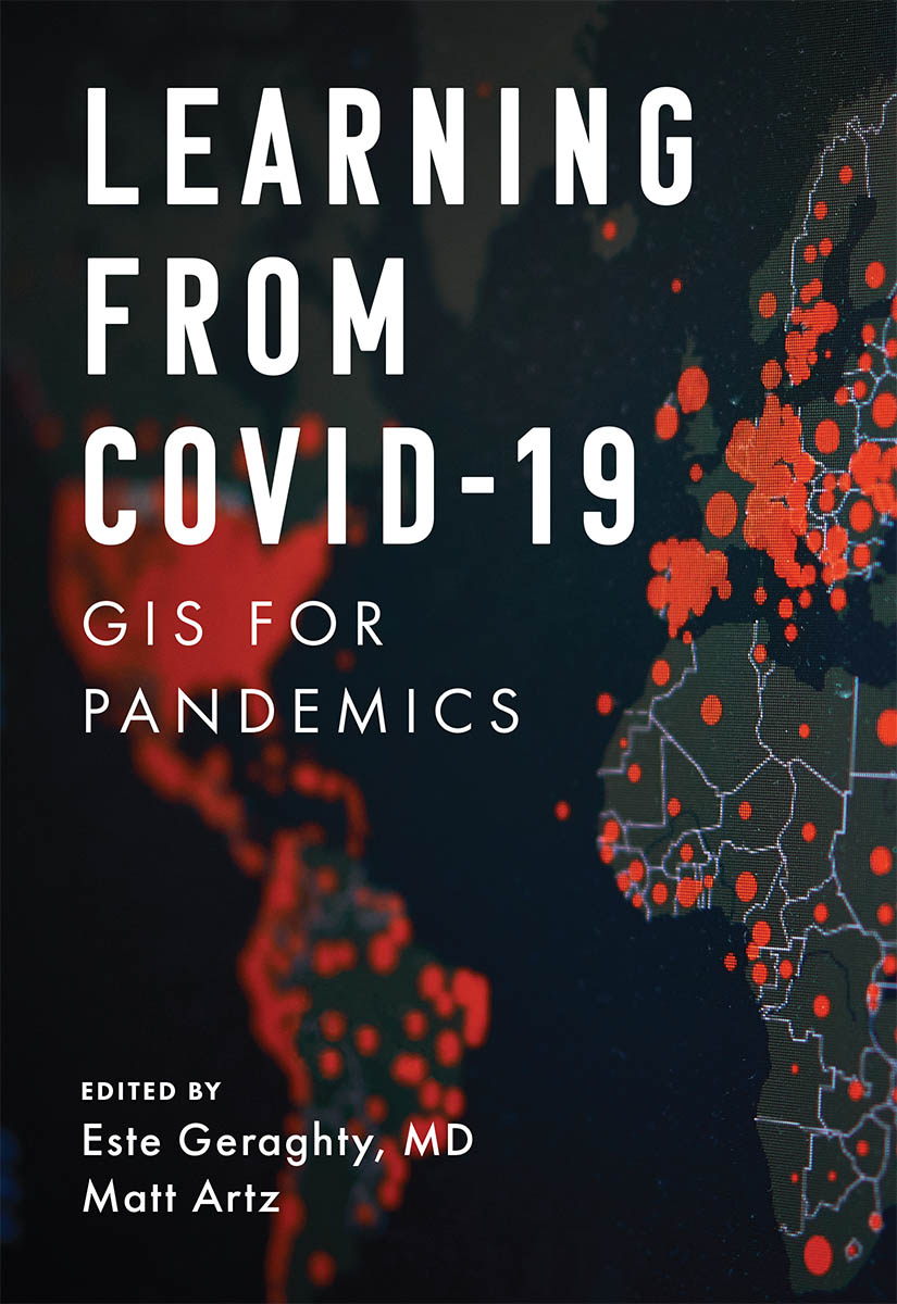
- Book:Learning from COVID-19: GIS for Pandemics
- Author:
- Publisher:Esri Press
- Genre:
- Year:2022
- City:Redlands
- Rating:4 / 5
- Favourites:Add to favourites
- Your mark:
Learning from COVID-19: GIS for Pandemics: summary, description and annotation
We offer to read an annotation, description, summary or preface (depends on what the author of the book "Learning from COVID-19: GIS for Pandemics" wrote himself). If you haven't found the necessary information about the book — write in the comments, we will try to find it.
Now that the health community is in a state of reflection, how do we put the lessons learned into practice?
As we step back to examine the worldwide response to the COVID-19 pandemic, now is the time to think about how to raise the bar for our response to the next public health emergency. Now is the time to revisit health preparedness strategies and plans. And now is the time to review what the health community did that workedand how we can do that again.
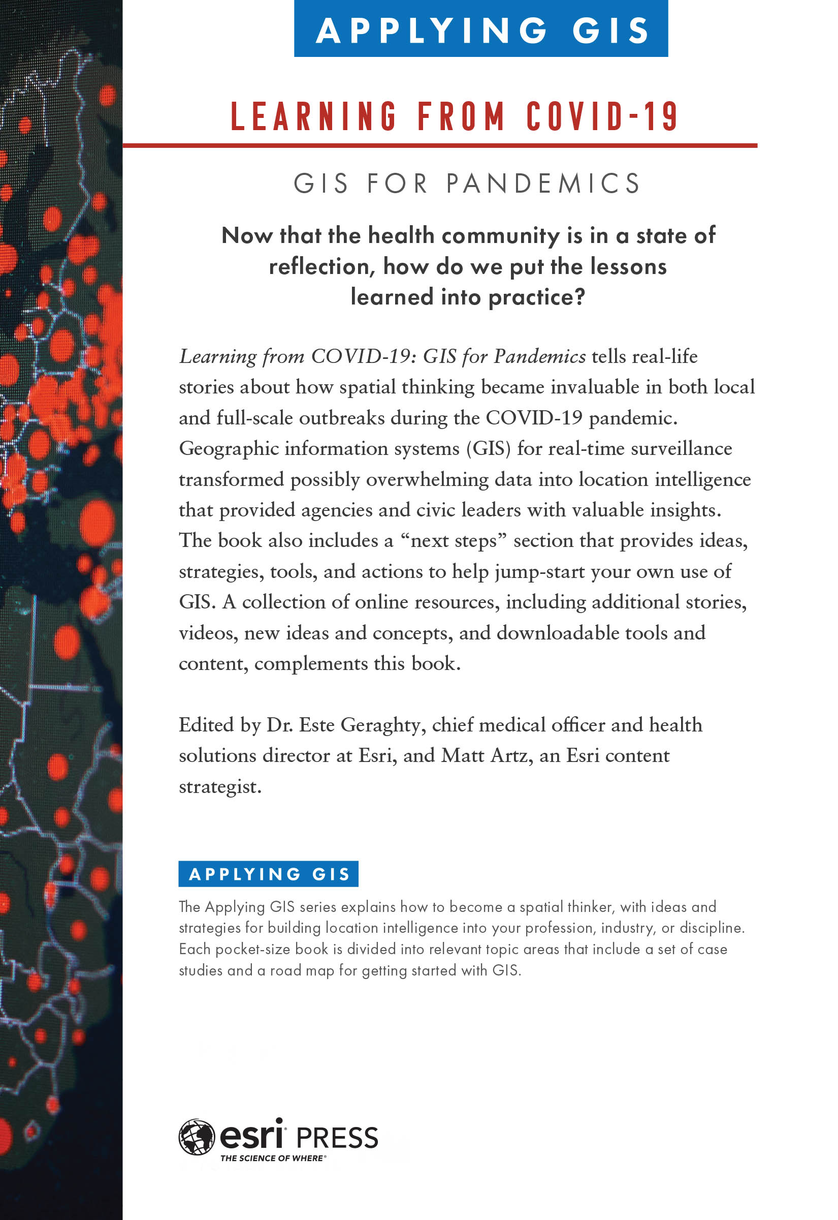
Learning from COVID-19: GIS for Pandemics tells real-life stories about how spatial thinking became invaluable in both local and full-scale outbreaks during the COVID-19 pandemic.
Needing to answer the question of where sat at the forefront of everyones mind, and using a geographic information system (GIS) for real-time surveillance transformed possibly overwhelming data into location intelligence that provided agencies and civic leaders with valuable insights.
Co-edited by Esri chief medical officer Dr. Este Geraghty, this book highlights best practices, key GIS capabilities, and lessons learned during the COVID-19 response that can help communities prepare for the next crisis. GIS has empowered:
- Organizations to use human mobility data to estimate the adherence to social distancing guidelines
- Communities to monitor their health care systems capacity through spatially enabled surge tools
- Governments to use location-allocation methods to site new resources (i.e., testing sites and augmented care sites) in ways that account for at-risk and vulnerable populations
- Communities to use maps and spatial analysis to review case trends at local levels to support reopening of economies
- Organizations to think spatially as they consider back-to-the-workplace plans that account for physical distancing and employee safety needs
Learning from COVID-19 also includes a next steps section that provides ideas, strategies, tools, and actions to help jump-start your own use of GIS, either as a citizen scientist or a health professional. A collection of online resources, including additional stories, videos, new ideas and concepts, and downloadable tools and content, complements this book.
Now is the time to use science and data to make informed decisions for our future, and this book shows us how we can do it.
Este Geraghty: author's other books
Who wrote Learning from COVID-19: GIS for Pandemics? Find out the surname, the name of the author of the book and a list of all author's works by series.


Learning from COVID-19: GIS for Pandemics — read online for free the complete book (whole text) full work
Below is the text of the book, divided by pages. System saving the place of the last page read, allows you to conveniently read the book "Learning from COVID-19: GIS for Pandemics" online for free, without having to search again every time where you left off. Put a bookmark, and you can go to the page where you finished reading at any time.
Font size:
Interval:
Bookmark:
Transcription:
Learning from COVID-19: GIS for Pandemics (Applying GIS series)
Now that the health community is in a state of reflection, how do we put the lessons learned into practice?
Learning from COVID-19: GIS for Pandemics tells real-life stories about how spatial thinking became invaluable in both local and full-scale outbreaks during the COVID-19 pandemic. Geographic information systems (GIS) for real-time surveillance transformed possibly overwhelming data into location intelligence that provided agencies and civic leaders with valuable insights. The book also includes a next steps section that provides ideas, strategies, tools, and actions to help jump-start your own use of GIS. A collection of online resources, including additional stories, videos, new ideas and concepts, and downloadable tools and content, complements this book.
Edited by Dr. Este Geraghty, chief medical officer and health solutions director at Esri, and Matt Artz, an Esri content strategist.
Applying GIS
The Applying GIS series explains how to become a spatial thinker, with ideas and strategies for building location intelligence into your profession, industry, or discipline. Each pocket-size book is divided into relevant topic areas that include a set of case studies and a road map for getting started with GIS.
 Esri Press, 380 New York Street, Redlands, California 92373-8100
Copyright 2022 Esri
All rights reserved.e-ISBN: 9781589487123The Library of Congress has cataloged the print edition as follows: 2022938227The information contained in this document is the exclusive property of Esri or its licensors. This work is protected under United States copyright law and other international copyright treaties and conventions. No part of this work may be reproduced or transmitted in any form or by any means, electronic or mechanical, including photocopying and recording, or by any information storage or retrieval system, except as expressly permitted in writing by Esri. All requests should be sent to Attention: Director, Contracts and Legal Department, Esri, 380 New York Street, Redlands, California 92373-8100, USA. The information contained in this document is subject to change without notice. US Government Restricted/Limited Rights: Any software, documentation, and/or data delivered hereunder is subject to the terms of the License Agreement. The commercial license rights in the License Agreement strictly govern Licensees use, reproduction, or disclosure of the software, data, and documentation. In no event shall the US Government acquire greater than RESTRICTED/LIMITED RIGHTS. At a minimum, use, duplication, or disclosure by the US Government is subject to restrictions as set forth in FAR 52.227-14 Alternates I, II, and III (DEC 2007); FAR 52.227-19(b) (DEC 2007) and/or FAR 12.211/12.212 (Commercial Technical Data/Computer Software); and DFARS 252.227-7015 (DEC 2011) (Technical Data Commercial Items) and/or DFARS 227.7202 (Commercial Computer Software and Commercial Computer Software Documentation), as applicable. Contractor/Manufacturer is Esri, 380 New York Street, Redlands, California 92373-8100, USA.Esri products or services referenced in this publication are trademarks, service marks, or registered marks of Esri in the United States, the European Community, or certain other jurisdictions. To learn more about Esri marks, go to: links.esri.com/EsriProductNamingGuide. Other companies and products or services mentioned herein may be trademarks, service marks, or registered marks of their respective mark owners.For purchasing and distribution options (both domestic and international), please visit esripress.esri.com.On the cover: Photograph of the Johns Hopkins University COVID-19 dashboard by Moinzon.179369
Globally, the COVID-19 pandemic brought renewed appreciation for the role that public health preparedness plays in keeping our communities safe. The hard lessons of the ongoing pandemic helped citizens better understand how the health of a community impacts all aspects of society. Beyond its tragic human toll, the pandemic has affected everything from the economy, transportation, and education to community design, infrastructure, and technology. Disparities in mortality rates and access to health care also emerged on the basis of race, ethnicity, and income. The scope and complexity of the crisis demonstrated that public health preparedness is a vital function. It requires careful planning and coordination across health organizations and beyond these to other members of our world ecosystem.
The global health community is in a state of reflection. As it steps back to examine the worldwide response to the pandemic, the health community cant help but be motivated to revisit health preparedness strategies and plans. Learning from COVID-19: GIS for Pandemics reviews the emerging lessons from the pandemic, including ways to improve our preparedness for the next health crisis.
The global response to COVID-19, the disease caused by the SARS-CoV-2 virus, highlighted the need for health organizations to engage with a wider range of collaborators. It has elevated the value of situational dashboards for communicating health issues and supporting decision-making. The pandemic magnified the importance of having the right datasets and applications to support business continuity and the recovery of our communities. Looking forward from these lessons, we value the need for equity as we build resilience at individual, organizational, and societal levels.
Organizations that prepare for and respond to public health emergencies should formally and intentionally exploit every incident as a learning experience. Many already do. Each event presents unique challenges and requires specific responses; they dont occur in isolation. These events tend to follow repeatable patterns that organizations can anticipate and employ to create healthier communities.
We have a transformational opportunity, given the magnitude of this crisis and common challenges, to build on lessons learned in response to previous public health emergencies, such as the severe acute respiratory syndrome (SARS) outbreak from 2002 to 2004, the Ebola outbreak in West Africa from 2014 to 2016, and the Zika virus epidemic from 2015 to 2016. These past emergencies produced foundational datasets, tools, models, and information products to use and share. Instead of starting from scratch, the health community can adapt and advance existing plans in the context of COVID-19 for a new crisis.
A geographic information system (GIS) is often the foundation of these efforts, turning data into location intelligence that provides agencies and civic leaders with valuable insights. More than simply mapping phenomena, GIS uses geography to furnish context for events in a common reference system. Applying spatial analysis tools, GIS brings out relationships, patterns, and associations that are often hidden by the breadth and complexity of managing multiple data inputs. What makes GIS so critical is that it supports evidence-based decision-making.
This book highlights best practices, key GIS capabilities, and lessons learned during the COVID-19 response that can help health care organizations, responders, public health programs, educators, and communities prepare for the next crisis.
Humans are a resilient and adaptive species. Faced with armed conflicts, humanitarian tragedies, natural disasters, and health emergencies, we learn to look at situations in new ways and respond with innovation. The health community experienced this during the COVID-19 pandemic, which forced health professionals worldwide to review, rethink, and reimagine their health preparedness workflows. That spirit of invention often aligns closely with advances in technologies.
Font size:
Interval:
Bookmark:
Similar books «Learning from COVID-19: GIS for Pandemics»
Look at similar books to Learning from COVID-19: GIS for Pandemics. We have selected literature similar in name and meaning in the hope of providing readers with more options to find new, interesting, not yet read works.
Discussion, reviews of the book Learning from COVID-19: GIS for Pandemics and just readers' own opinions. Leave your comments, write what you think about the work, its meaning or the main characters. Specify what exactly you liked and what you didn't like, and why you think so.