OTHER BOOKS IN THE 50 HIKES SERIES
50 Hikes in Michigan
50 Hikes in Michigans Upper Peninsula
50 Hikes in Wisconsin
50 Hikes in Minnesota
50 Hikes in Ohio
50 More Hikes in Ohio
50 Hikes in Western Pennsylvania
50 Hikes in West Virginia
50 Hikes in Kentucky


THE COUNTRYMAN PRESS
A division of W. W. Norton & Company
Independent Publishers Since 1923
I dedicate this book to my wife Susan,
and my son Nathaniel.
May he inherit my sense of adventure and
my wife continue to support my future projects.
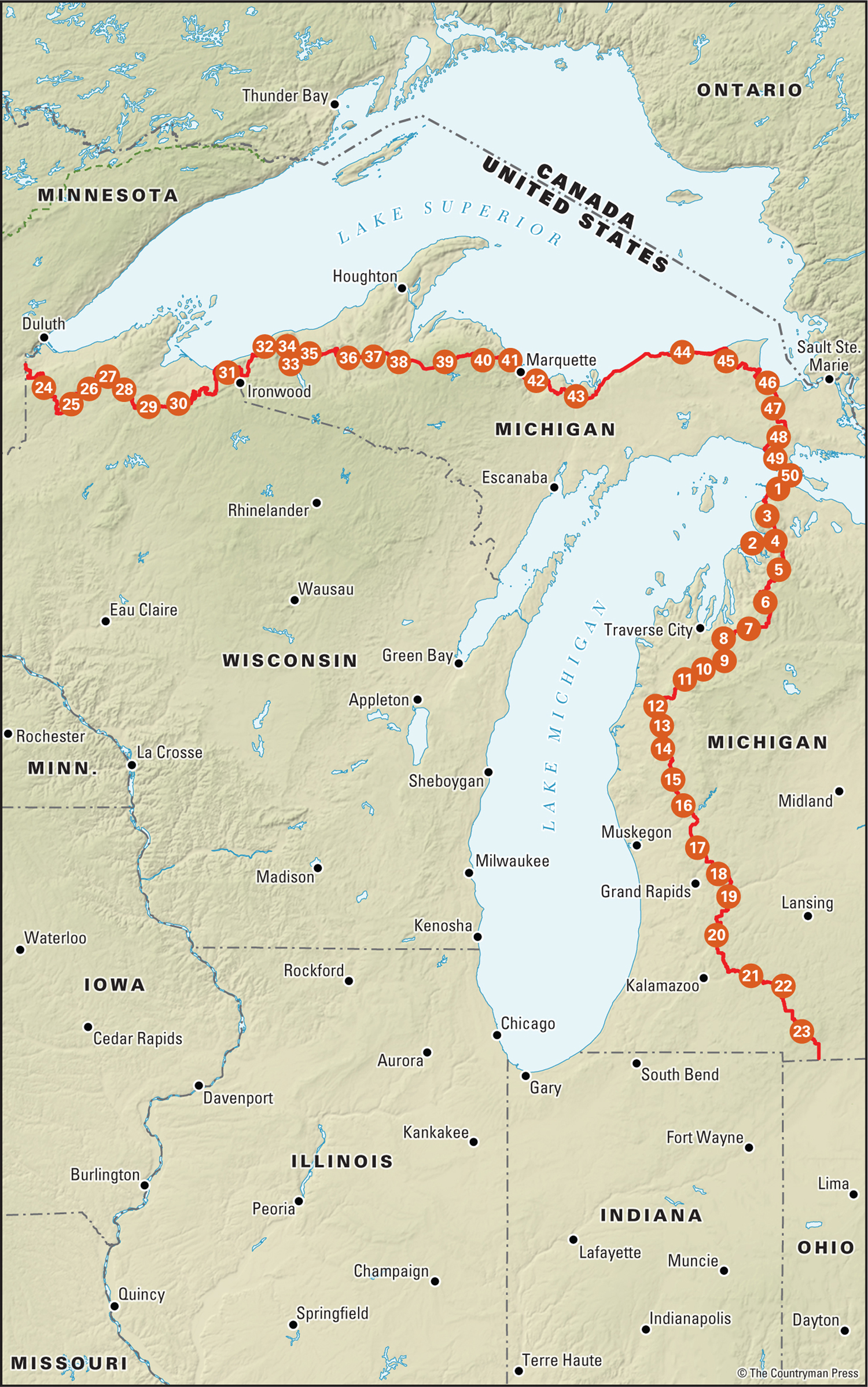
Contents
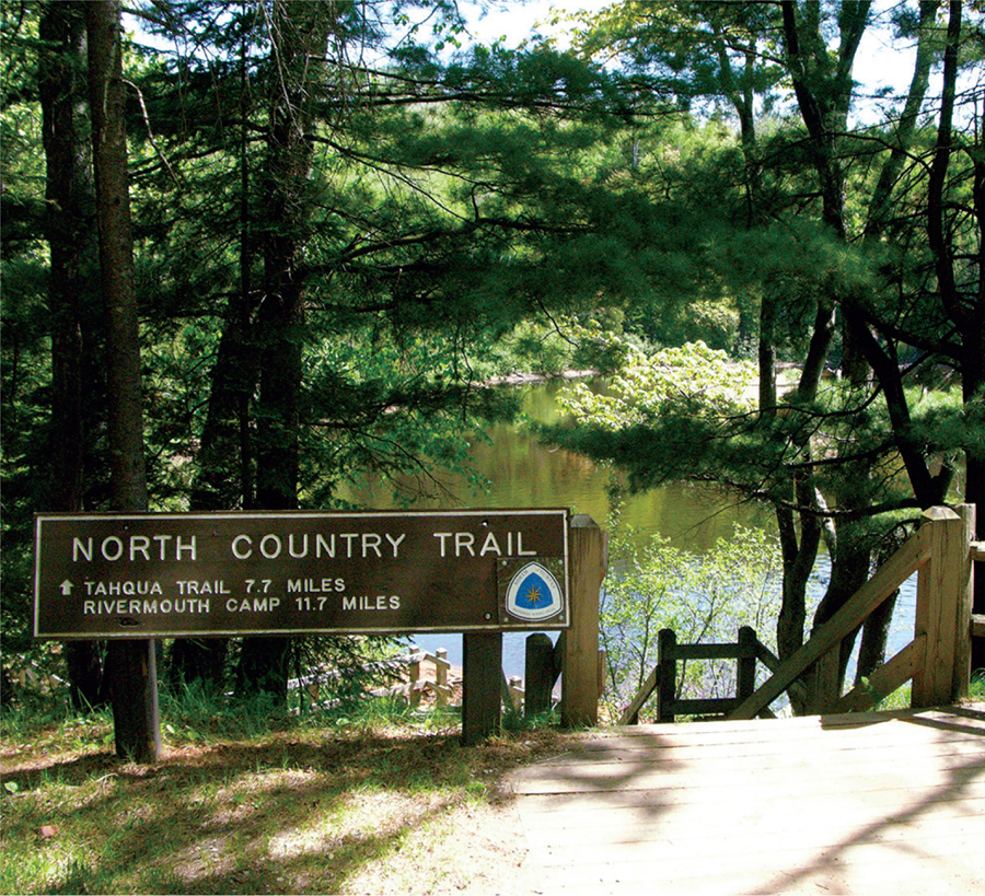
I first discovered the North Country Trail while researching a cross-the-Upper-Peninsula backpacking trip in the mid-1990s. At first, it appeared to be a loose patchwork of trail across the Upper Peninsula. With a little Internet research (which was in its infancy way back when), I discovered that it was a trail between North Dakota and Vermont.
I was hooked. I decided to become a member of the nonprofit North Country Trail Association, and soon learned they are the supporting organization for the North Country National Scenic Trail (its full name), part of the national park system.
The longer sibling of the more famous Appalachian Trail, the North Country Trail runs east to west, while the other national scenic trails (Continental Divide, Pacific Crest, etc.) mostly run north to south.
It was the National Trails Act of 1968 that officially established the Appalachian and Pacific Crest Trails as National Scenic Trails. Both had been in existence for many years before. However, the North Country Trail wasnt even authorized to be a trail until 1980, when Congress passed legislation authorizing its creation.
A task force was assembled to study the daunting task of creating what was appearing to be a 4,000-mile-long hiking trail. The Bureau of Outdoor Recreation (to be later absorbed by the National Park Service) had a report written by none other than Tom Gilbert, who at the time was fresh out of college but would become the first superintendent of the North Country Trail.
Many proposals were considered in determining the authorized route for the trail. Some ideas came to fruition, others did not, and some are still on the back burner. One in particular is linking up with the Appalachian Trail, which still simmers as a future potentiality.
Another, a loop trail in the Upper Peninsula, has long been forgotten; others, like the Arrowhead in Minnesota, have come, gone, and then been reborn.
What ended up happening was that I identified existing long stretches of trails in national forest, national parks, state forests, and state parks. The Manistee Trail in Michigan, the Buckeye Trail in Ohio, the Finger Lakes Trail in New York, the Kekekabic and Border Route Trails in Minnesotaand the namesake, the North Country Trail in Wisconsinwere identified and have since been incorporated into the trail we now know.
The daunting task of connecting these trails continues today. Many segments of trail have been pieced together using rail trails, bike trails, local parks, and private landowners. Although there are still significant road walks to connect the trail, they are becoming fewer and shorter.
CURRENT CHAPTER AND HEADQUARTERS STRUCTURE
The organizational structure of the trail can be confusing to folks hearing about the trail for the first time. The North Country National Scenic Trail is part of the national park systemwhich interestingly enough does not own an inch of the trail, nor does it build or maintain the trail. The role of the national park is to provide management, oversight, and funding for the trail. The National Park Service has identified a superintendent of the North Country Trail, but typically does not have staff. This is where the North Country Trail Association, a private not-for-profit organization, comes in as the on-the-ground support organization for the trail. The North Country Trail Association works to create and maintain the trail through staffbut most importantly, volunteers. It utilizes a chapter model; the chapters are the primary drivers of recruiting, training, and motivating volunteers to create and maintain the trail.
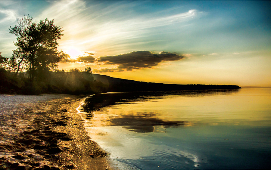
Gary Zaborowski
THE SUN SETS OVER THE PORCUPINE MOUNTAINS AND LAKE SUPERIOR
There are 3 chapters in Wisconsin and 12 in Michigan. Chapters are fiscally and organizationally part of the nonprofit association. Each, however, has its own leadership and works independently to create, maintain, and interpret the trail in its area. It is the dedicated volunteers who make up these chapters who contribute to the North Country Trails success. Without them, there would be no trail.
CLIMATE
C limate is what you expect, weather is what you get.
Over a stretch of 1,000 miles that experiences four seasons, you could see just about any kind of weatherwith the exception of a hurricane! Winters can be long and linger into late May some years in northern Wisconsin and the Upper Peninsula. Summers can be steamy and hot, not only in the southern Lower Peninsula but even in Marquette as well. Winter can start before Halloween in the Upper Peninsula. Spring may not be seen at all in the southern Lower Peninsula, as the winter frequently lingers; spring weather may last a few weeks, skipping right over to summer by Memorial Day.
With an enormous amount of weather data available on the Internet, one should be able to plan a trip using historical weather information. A great resource is Weather Underground (www.wunderground.com), where you can give it a range of dates and it will give you a report of highs, lows, precipitation, and extreme weather events.
Extreme high temperatures rarely make it to 100 degrees, although the humidity can give a heat index of well over 100 degrees. Extreme lows can hit -40 degrees in the Upper Peninsula and Wisconsin, and as low as -20 degrees in the southern Lower Peninsula.
Severe weather is commonplace in the southern Lower Peninsula, which averages several tornadoes and numerous thunderstorms in the spring and summer months. It is always a good idea to carry a weather radio with you during the spring and summer months, or have access to this information via smartphone.
Snow can be expected, either in accumulation or frosting the ground, anytime between October 1st and May 30th in the northern part of Wisconsin, the Upper Peninsula, and the northern Lower Peninsula. In the southern Lower Peninsula, this range is from about November 1st to May 1st.
Maximum snow depth and total accumulation ranges wildly along the trail. The Wisconsin part of the trail can experience a total accumulation of 50 to 120 inches in a given season, increasing as you go west; the Upper Peninsula, 120 to 400 inches of snow, is most close to Lake Superior. Since the trail is 30 miles or less from the Lake Michigan shore most of the way toward Grand Rapids, lake effect snows can dump upward of 200 inches in places in the north, and around 100 inches as far south as Grand Rapids. As the trail turns inland heading toward Battle Creek down to the state line, total accumulations rarely reach over 100 inches.
Next page
