The Lone Star Hiking Trail: The Official Guide to the Longest Wilderness Footpath in Texas
1st EDITION 2009
Copyright 2009 by Karen Borski Somers
Front cover photo copyright 2009 by Laurence Parent Photography
Interior photos by Karen Borski Somers, except for the following: p. 5: courtesy of the East Texas Research Center; Steen Library, Forest History Collections, Stephen F. Austin State University, Nacogdoches, Texas; p. 8: courtesy of James Weatherby; p. 33: Poison oak and poison sumac, courtesy of Robert H. Mohlenbrock, USDA, and poison ivy, courtesy of Jonathan Sachs; and p. 102: courtesy of Cathy A. Murphy, LSHT Club
Maps: Andy Somers, Karen Borski Somers, and Scott McGrew
Cover design: Lisa Pletka
Text design: Annie Long
Book editor: Laura Shauger
ISBN 978-0-89997-504-7
Manufactured in the United States of America
| Published by: | Wilderness Press |
| 1345 8th Street |
| Berkeley, CA 94710 |
| (800) 443-7227; FAX (510) 558-1696 |
| info@wildernesspress.com |
| www.wildernesspress.com |
Visit our website for a complete listing of our books and for ordering information.
Cover photos: Big Creek Scenic Area ( front ); Tarkington Bayou ( back )
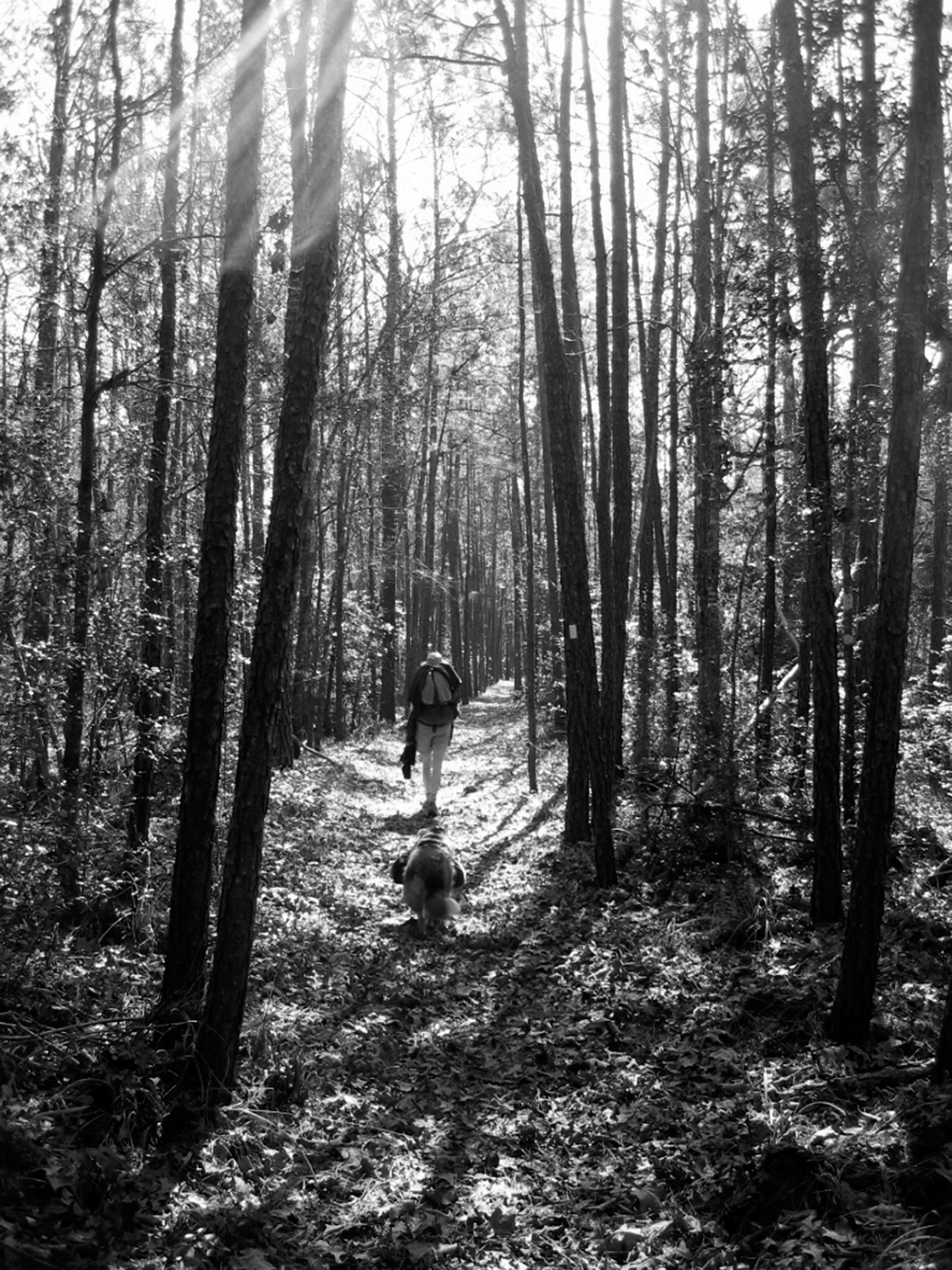
Frontispiece: A late winters morning in the Big Woods Section of the Lone Star Hiking Trail
All rights reserved. No part of this book may be reproduced in any form, or by any means electronic, mechanical, recording, or otherwise, without written permission from the publisher, except for brief quotations used in reviews.
SAFETY NOTICE: Although Wilderness Press and the author have made every attempt to ensure that the information in this book is accurate at press time, they are not responsible for any loss, damage, injury, or inconvenience that may occur to anyone while using this book. You are responsible for your own safety and health while in the wilderness. The fact that a trail is described in this book does not mean that it will be safe for you. Be aware that trail conditions can change from day to day. Always check local conditions, know your own limitations, and consult a map.
Contents
Foreword
by Marcus Woolf
i ts a strange thing to march down a trail with a measuring wheel, slowly ticking off the distance, foot by foot, watching carefully for that magic number5280 feet (the number of feet in a mile). Time to once again hit the reset button.
Mapping a trail and simply hiking it are two very different things. Creating a guidebook requires incredible discipline and attention to detail, and this is precisely what Karen Somers brings to The Lone Star Hiking Trail. As she measures each step, she notes the fine detailsseasonal streams, potential camping spots, and the character of the forest, from the jungle-like feel of a stand of dwarf palmettos to the waterfall in a secret nook of the trails . Accompanying her descriptive prose are helpful charts that allow hikers to quickly glance at notable waypoints that lie along the way. Karen achieves a great balance with her work, carefully weaving together crucial data and keen observations that will pique a hikers interest. It is one thing to tell people when to turn left or right and where water sources lie; it is another to capture the sights and sounds of a place and draw the reader into the scene.
Many people take the first steps toward writing a guidebook, but soon abandon the project due to the sheer effort involved. Others enjoy a few days of hiking where they jot down the various plants, animals, and natural features along the way. And more hikers have embraced the idea of marking their routes with a GPS unit. But to do these things, and more, day after day, in blazing heat, numbing cold, or relentless downpourthis is where many book projects wither.
Having recently completed a trail guide for the Atlanta area, I can appreciate Karens determination in mapping the 128 miles that make up the Lone Star Trail and nearby loops. The complex nature of the projectrecording information with the GPS, writing notes, taking photographs, pushing that wheelcan become a weary exercise. At some point, a persons love for a place and the desire to share it become the fuel that sustains the effort. One thing I know from seeing this piece of work is that Karen has a special place in her heart for this path and the wild lands of her native Texas.
A project like this requires not only love, but practical experience. Karen has thru-hiked the 2175-mile Appalachian Trail and the 2650-mile Pacific Crest Trail. When she and her husband, Andy, trekked along the PCT, Karen published a wonderfully descriptive blog that first introduced me to her writing ability and keen eye. That five-month journey over formidable terrain honed her mapping skills and gave her the confidence to chronicle the Lone Star Trail. Under the cool blue winter skies of Texas, she often hiked with little more than the rattle of a measuring wheel to keep her company. Having experienced the same type of journey myself, I can imagine her pausing on a quiet stretch of trail and leaning over to press the reset button, watching it roll from 5280 feet to zero. With many more miles to go, I can picture her standing still for a moment to hear the winds in the pines. She wipes the sweat from her brow and smiles, remembering that this is not just work, but a chance to share something wonderful.
Marcus Woolf has written for outdoor publications such as Outside and Backpacker, and is the senior editor at GearTrends. Most recently he wrote the hiking guide Afoot & Afield Atlanta published by Wilderness Press.
Preface
w hen I thru-hiked the Lone Star Hiking Trail (LSHT) over the course of nine days in February 2006, I carried a GPS unit, pushed a measuring wheel, and took verbal notes on a tape recorder. It took time to get used to juggling all this equipment while trying to hike 100 miles, even though I had help from my friend Debbie Richardson. I followed up that first, continuous hike with shorter outings to confirm or acquire further information.
I used a Garmin 60 CS GPS unit to chart the LSHT track and, ultimately, to generate the section maps. I recorded trail mileage using a mechanical measuring wheel with an error rate of approximately +/-1 percent. Trail descriptions and observations were derived from voice notes taken on audiotape during the hike. When I sat down after that first hike to look at all the data Id collected on the trail, I quickly realized that the really hard work had not even started.
One of my fears associated with authoring this guidebook is that, with more publicity, the LSHT may cease to be the forgotten trail, ripe in solitude, that I love so much. But then I think about the people, like me, who have lived in southeast Texas for a long time, believing that the only long-distance hiking trails were in other states. Its these people who I hope to inspire and educate about the LSHT. They are the ones who will love it most and, ultimately, protect it.
So, what did I think about my time on the LSHT? After having hiked all over the U.S., I found everything I needed on this little trail thats been hiding in my own backyard for more than 30 years. The LSHT may not have spectacular views of mountains, and some may say that its flat and monotonous, but I discovered a special kind of peace in the deep woods among the ancient bayous and tall pines. If you are interested in reading more about my thru-hike, check out my online journal at www.trailjournals.com/lonestar .
Next page
